Report
VERIFIED
CLOSED
Feb 12, 2024
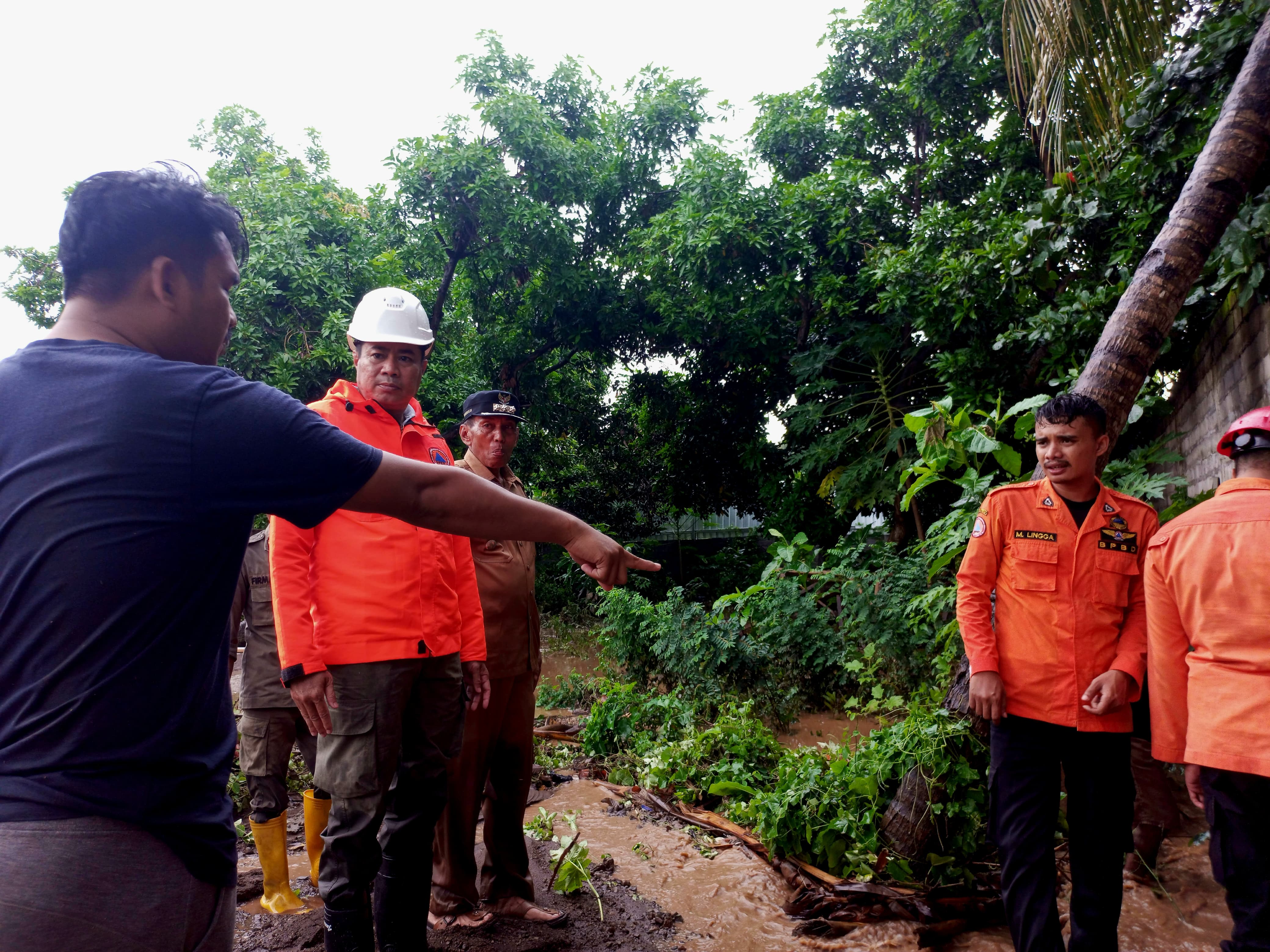
Nusa Tenggara Barat, Indonesia
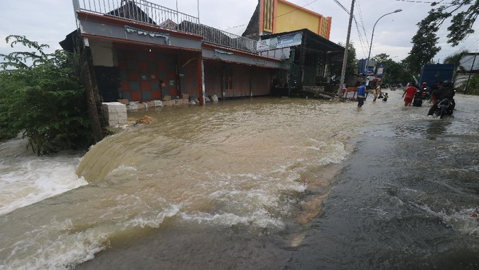
Indonesia, Flooding in Lombok Timur (West Nusa Tenggara)

VERIFIED
CLOSED
Feb 11, 2024
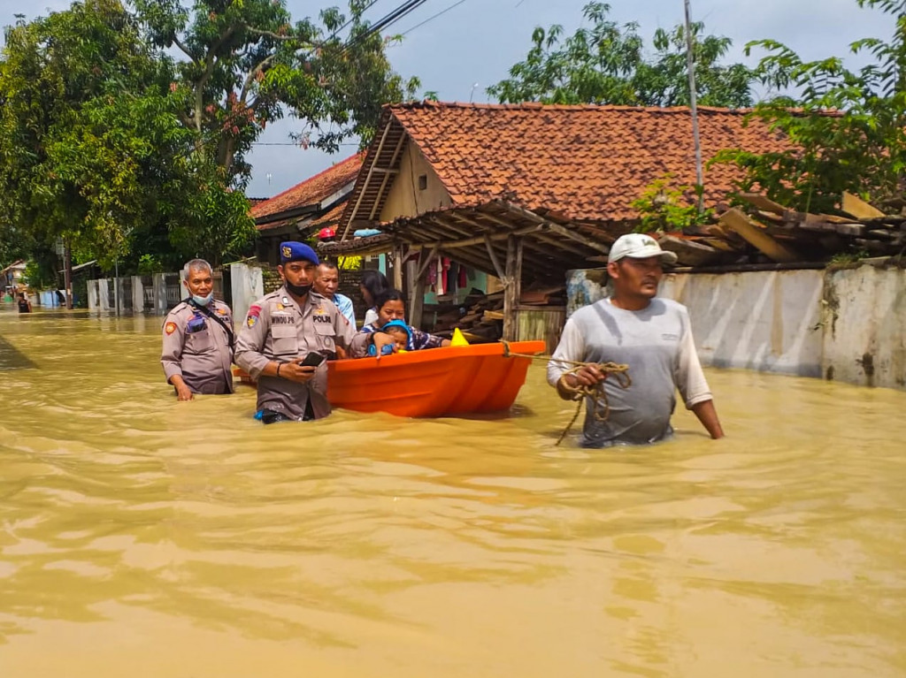
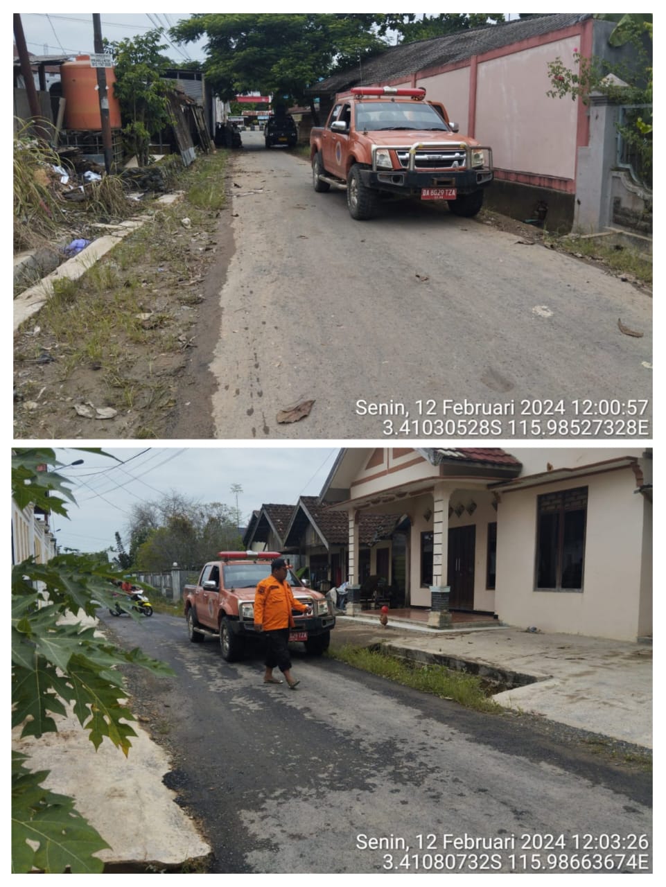
Kalimantan Selatan, Indonesia
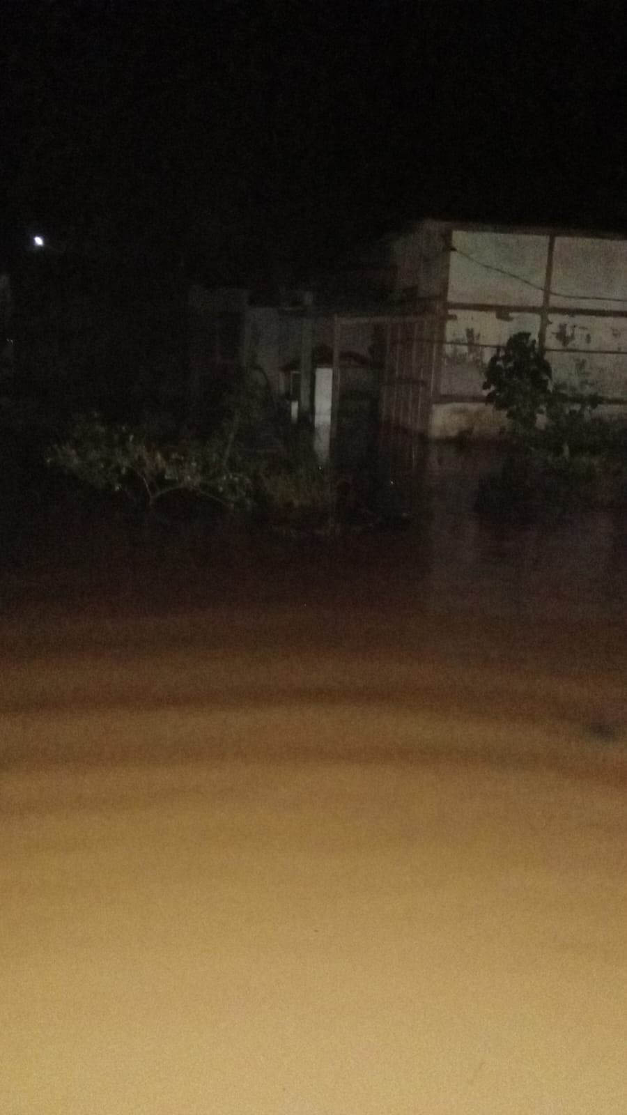
Indonesia, Flooding in Tanah Bumbu (South Kalimantan)
.jpeg)
VERIFIED
CLOSED
Feb 10, 2024
Agusan del Norte, Philippines
Philippines, M5.8 Earthquake in Agusan del Norte
VERIFIED
CLOSED
Feb 10, 2024
Lampung, Indonesia
Indonesia, Flooding in Bandar Lampung City (Lampung)
VERIFIED
CLOSED
Feb 09, 2024
Nusa Tenggara Barat, Indonesia
Indonesia, Flooding in Dompu (West Nusa Tenggara)
VERIFIED
CLOSED
Feb 09, 2024
Nusa Tenggara Barat, Indonesia
Indonesia, Flooding in Bima (West Nusa Tenggara)
VERIFIED
CLOSED
Feb 09, 2024
Nusa Tenggara Barat, Indonesia
Indonesia, Flooding in Bima City (West Nusa Tenggara)
VERIFIED
CLOSED
Feb 09, 2024
Nusa Tenggara Barat, Indonesia
Indonesia, Flooding and Landslides in Sumbawa (West Nusa Tenggara)
VERIFIED
CLOSED
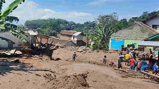
Feb 08, 2024
Sumatera Selatan, Indonesia