Report
VERIFIED
CLOSED
Dec 23, 2023
Sumatera Utara, Indonesia
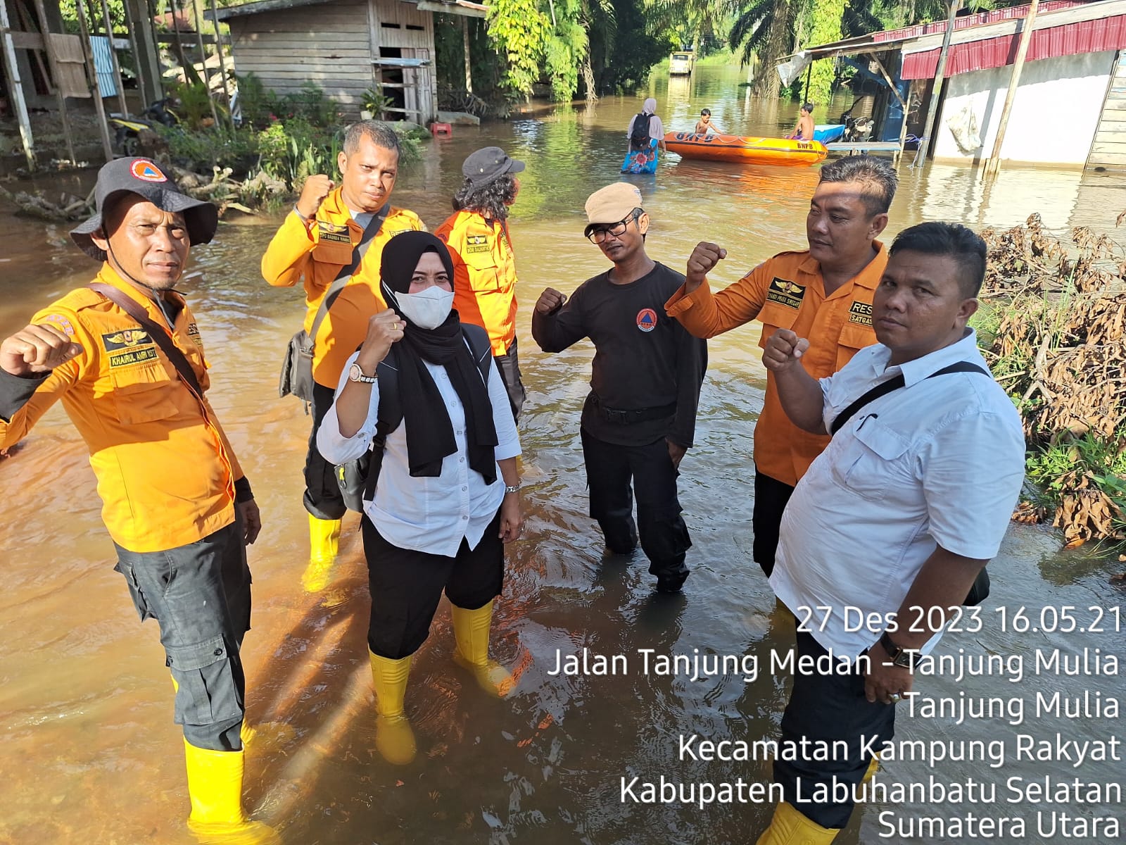
Indonesia, Flooding in Labuhanbatu Selatan (North Sumatera)
VERIFIED
CLOSED
Dec 23, 2023
Jawa Barat, Indonesia
Indonesia, Tornado in Bandung Regency (West Java)
VERIFIED
CLOSED
Dec 20, 2023
Sumatera Utara, Indonesia
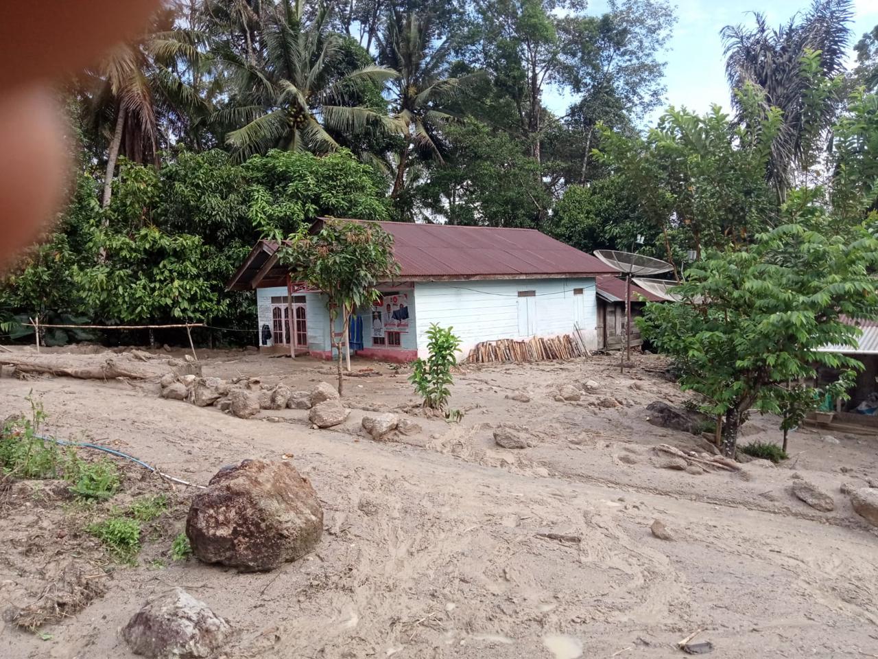
Indonesia, Flooding in Mandailing Natal (North Sumatera)
VERIFIED
CLOSED
Dec 20, 2023
Sumatera Utara, Indonesia
Indonesia, Flooding and Landslide in Tapanuli Utara (North Sumatra)
.jpeg)
VERIFIED
CLOSED
Dec 19, 2023
Sumatera Barat, Indonesia
Indonesia, Flooding in Pasaman (West Sumatera)
VERIFIED
CLOSED
Dec 18, 2023
Sumatera Barat, Indonesia
Indonesia, Flooding and Landslide in Lima Puluh Kota (West Sumatra)
VERIFIED
CLOSED
Dec 18, 2023
Sumatera Barat, Indonesia
Indonesia, Flooding and Landslide in Pasaman (West Sumatera)
.jpeg)
VERIFIED
CLOSED
Dec 17, 2023
Kalimantan Timur, Indonesia
Indonesia, Flooding in Samarinda City (East Kalimantan)
VERIFIED
CLOSED
Dec 17, 2023
Davao Oriental, Philippines
Philippines, Flooding, Landslides, Storms and Winds in Regions IVB, VI, VIII, X, XI, and XIII (Effects of TC JELAWAT and Shearline)
VERIFIED
CLOSED
Dec 16, 2023
Trengganu, Malaysia