Report
VERIFIED
CLOSED
Jan 15, 2024
Sumatera Barat, Indonesia
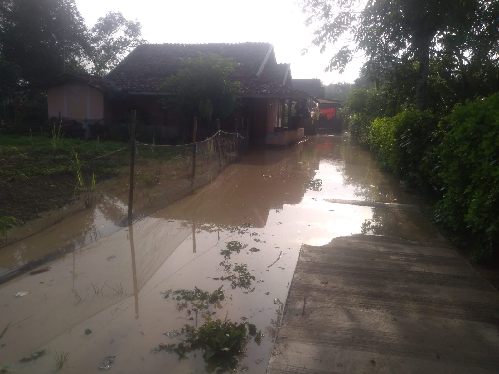
Indonesia, Flooding in Pesisir Selatan (West Sumatera)
VERIFIED
CLOSED
Jan 15, 2024
Nusa Tenggara Timur, Indonesia
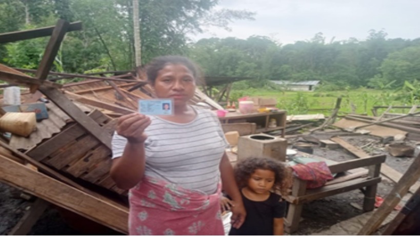
Indonesia, Tornadoes in Ngada (East Nusa Tenggara)
VERIFIED
CLOSED
.jpeg)
Jan 15, 2024
Bangka Belitung, Indonesia
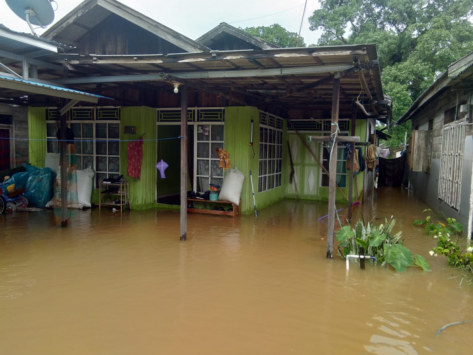
Indonesia, Flooding in Pangkalpinang City (Bangka Belitung Islands)
VERIFIED
CLOSED
Jan 15, 2024
Agusan del Sur, Philippines
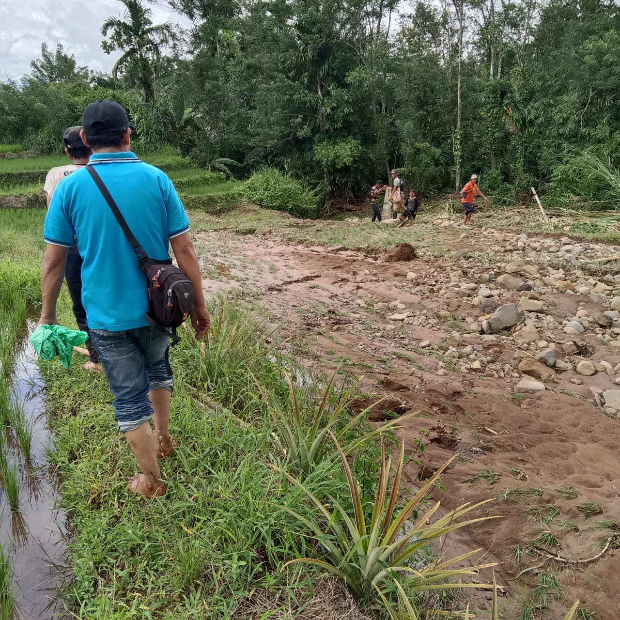
Philippines, Flooding and Landslides in Region XI and Caraga (Effects of Shear Line)
VERIFIED
CLOSED
Jan 15, 2024
Kalimantan Tengah, Indonesia
Indonesia, Flooding in Murung Raya (Central Kalimantan)
VERIFIED
CLOSED
Jan 14, 2024
Sulawesi Selatan, Indonesia
Indonesia, Flooding in Luwu (South Sulawesi)
VERIFIED
CLOSED
Jan 13, 2024
Sumatera Selatan, Indonesia
Indonesia, Flooding in Muara Enim (South Sumatra)
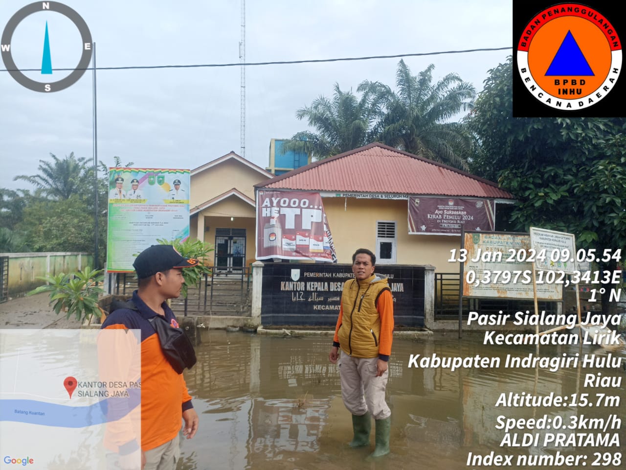
VERIFIED
CLOSED
Jan 13, 2024
Kalimantan Selatan, Indonesia
Indonesia, Flooding in Tanah Bumbu (South Kalimantan)
VERIFIED
CLOSED
Jan 13, 2024
Kalimantan Selatan, Indonesia
Indonesia, Flooding in Tapin (South Kalimantan)
VERIFIED
CLOSED
Jan 13, 2024
Sumatera Selatan, Indonesia
Indonesia, Flooding in Prabumulih (South Sumatra)
VERIFIED
CLOSED
Jan 12, 2024
Maluku Utara, Indonesia
Indonesia, Flooding in Halmahera Timur (North Maluku)
VERIFIED
CLOSED
Jan 12, 2024
Kalimantan Tengah, Indonesia