Report


VERIFIED
CLOSED
Feb 03, 2024
Sumatera Utara, Indonesia
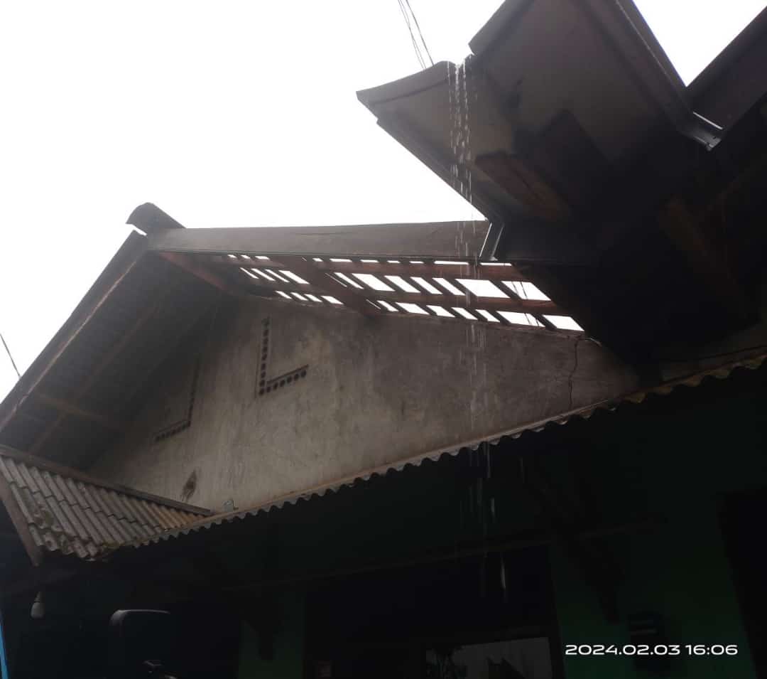
Indonesia, Landslide in Tapanuli Utara (North Sumatera)
VERIFIED
CLOSED
Feb 03, 2024
Sumatera Selatan, Indonesia
Indonesia, Flooding in Ogan Ilir (South Sumatera)
VERIFIED
CLOSED
Feb 03, 2024
Nong Bua Lam Phu, Thailand
Thailand, Storm and Strong Wind in Nong Bua Lam Phu
.jpeg)
.jpeg)
.jpeg)
VERIFIED
CLOSED

Feb 02, 2024
Kalimantan Selatan, Indonesia
Indonesia, Flooding in Tanah Bumbu (South Kalimantan)
VERIFIED
CLOSED
Feb 02, 2024
Sumatera Barat, Indonesia
Indonesia, Flooding in Pesisir Selatan (West Sumatera)

VERIFIED
CLOSED

Jan 31, 2024
Kalimantan Selatan, Indonesia
Indonesia, Flooding in Tanah Bumbu (South Kalimantan)
VERIFIED
CLOSED
Jan 31, 2024
Sumatera Selatan, Indonesia