Report


VERIFIED
CLOSED
Mar 05, 2024
Maluku Utara, Indonesia
Indonesia, Flooding in Halmahera Timur (Maluku Utara)
VERIFIED
CLOSED
Mar 05, 2024
Jawa Barat, Indonesia
Indonesia, Flooding and Landslide in Kuningan (West Java)
VERIFIED
CLOSED
Mar 05, 2024
Sumatera Barat, Indonesia
Indonesia, Flooding in Pesisir Selatan (West Sumatra)
VERIFIED
CLOSED
Mar 04, 2024
Nusa Tenggara Barat, Indonesia
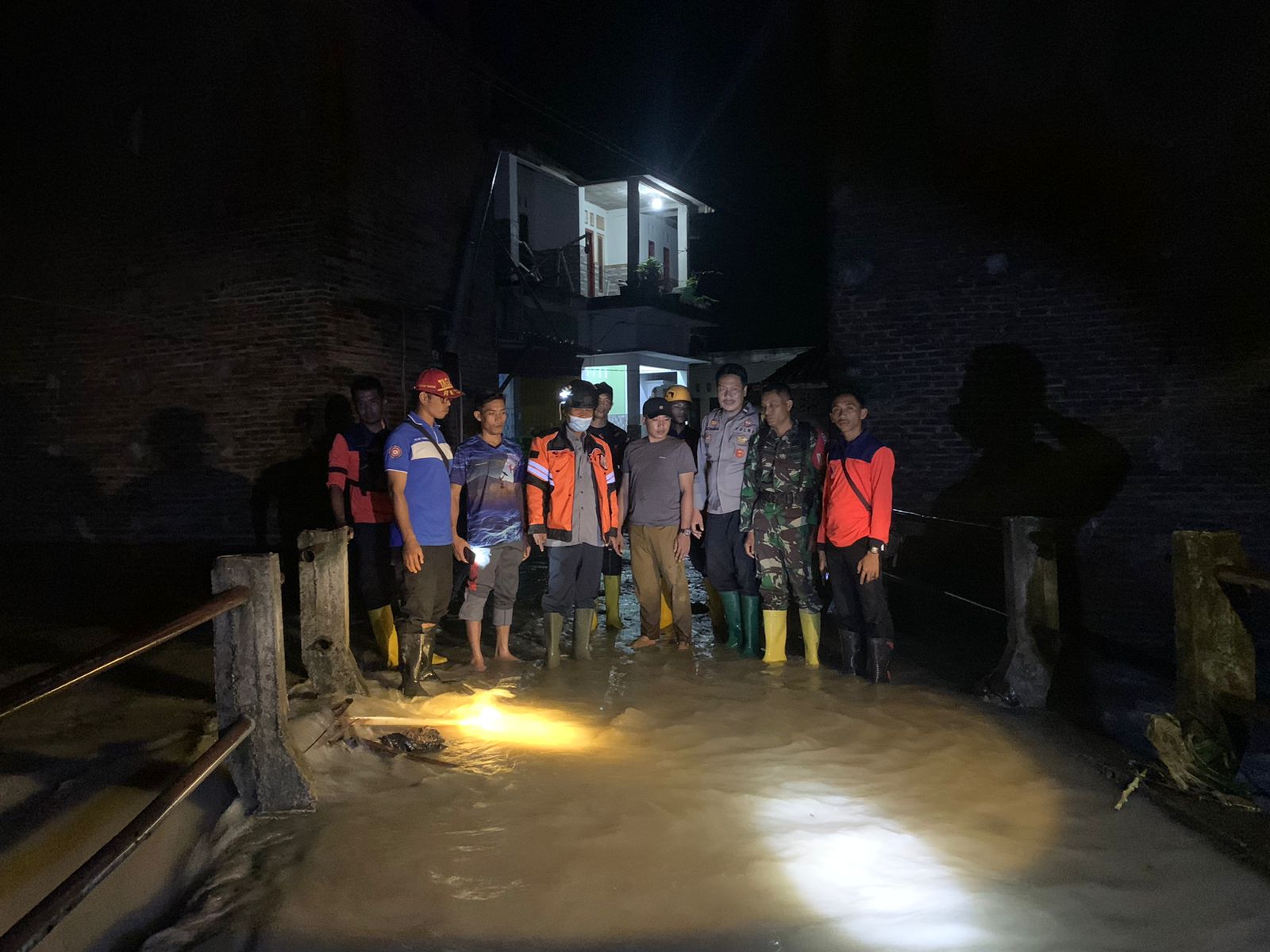
Indonesia Flooding in Lombok Tengah (West Nusa Tenggara)
VERIFIED
CLOSED
Mar 04, 2024
Sulawesi Tenggara, Indonesia
Indonesia, Flooding in Kendari City (Southeast Sulawesi)
VERIFIED
CLOSED
Mar 03, 2024
Jawa Tengah, Indonesia
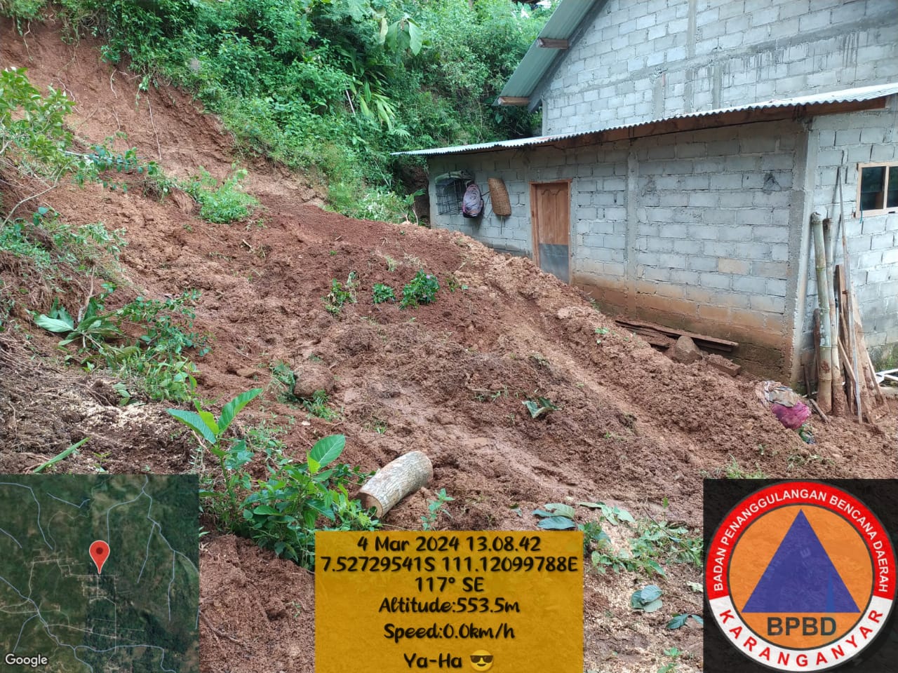
Indonesia, Landslide in Karanganyar (Central Java)
VERIFIED
CLOSED
Mar 03, 2024
Nusa Tenggara Barat, Indonesia
Indonesia, Floods in Bima (West Nusa Tenggara)
VERIFIED
CLOSED
Mar 03, 2024
Jawa Tengah, Indonesia
Indonesia, Landslides in Pemalang (Central Java)
VERIFIED
CLOSED
Mar 03, 2024
Sumatera Selatan, Indonesia
Indonesia, Flooding in Musi Rawas (South Sumatra)
VERIFIED
CLOSED
Mar 03, 2024
Sulawesi Tengah, Indonesia
Indonesia, Flooding and Landslides in Buol (Central Sulawesi)
VERIFIED
CLOSED
Mar 02, 2024
Davao del Sur, Philippines
Philippines, Flooding in Davao Occidental (Effects of Easterlies/Localised Thunderstorms)
VERIFIED
CLOSED
Mar 02, 2024
Sulawesi Utara, Indonesia