Indonesia, Flooding in Cirebon (West Java)
Mar 05, 2024 19:17
Mar 12, 2024 10:02
Location
Coordinate:
-6.7455128992822, 108.55133607964
Administrative:
Jawa Barat, Indonesia
Affected Area:
Jawa Barat
Hazard
Main : Flood- Inundated Area (km) = -
- Maximum Flood Depth (cm) = -
Description
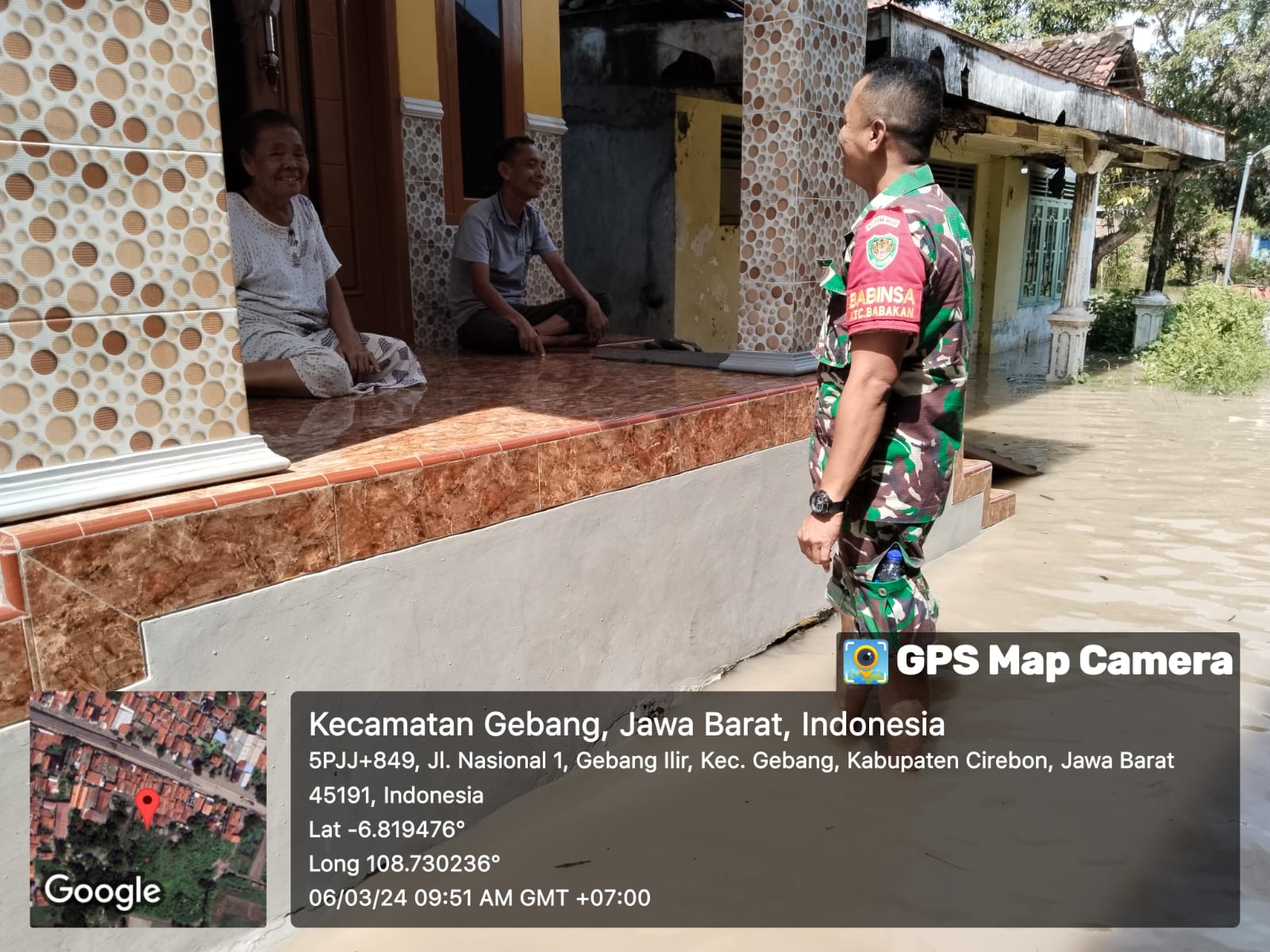
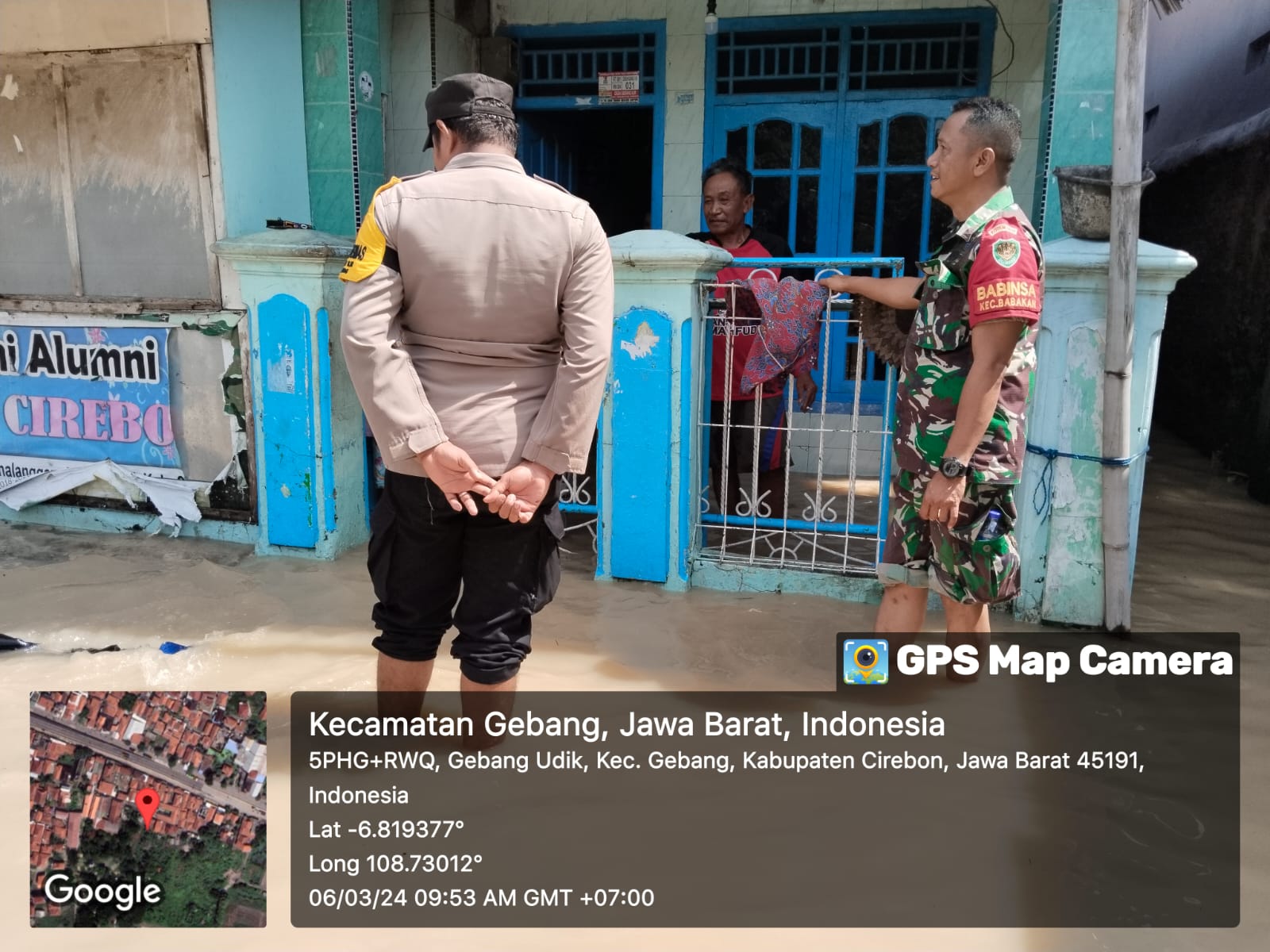
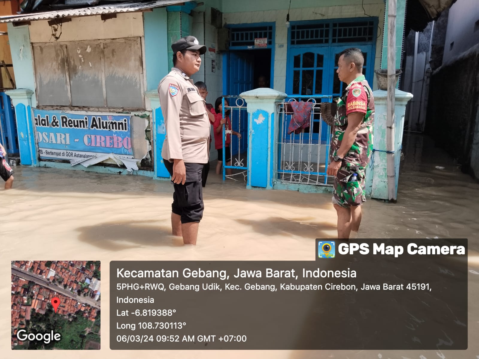
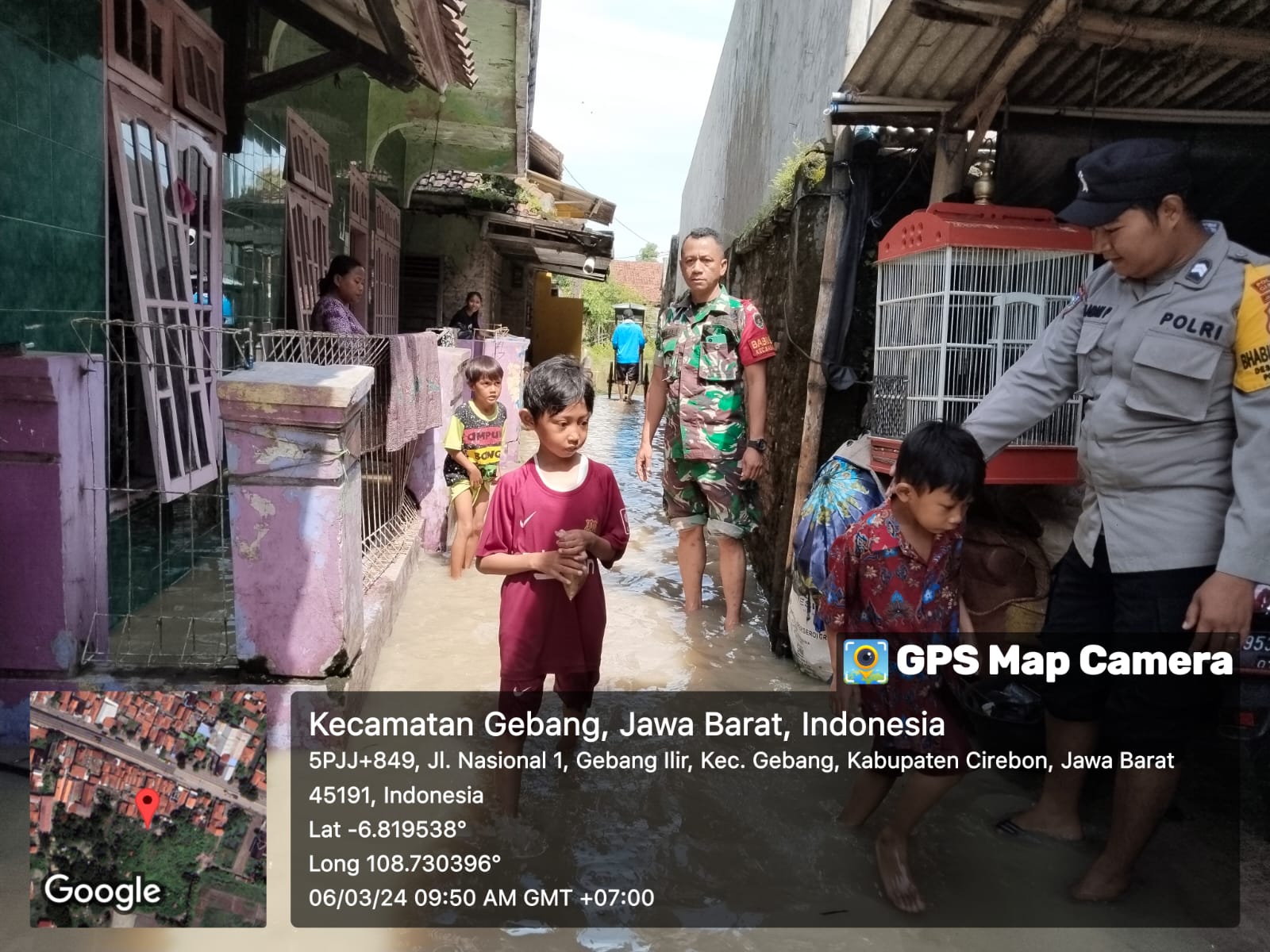
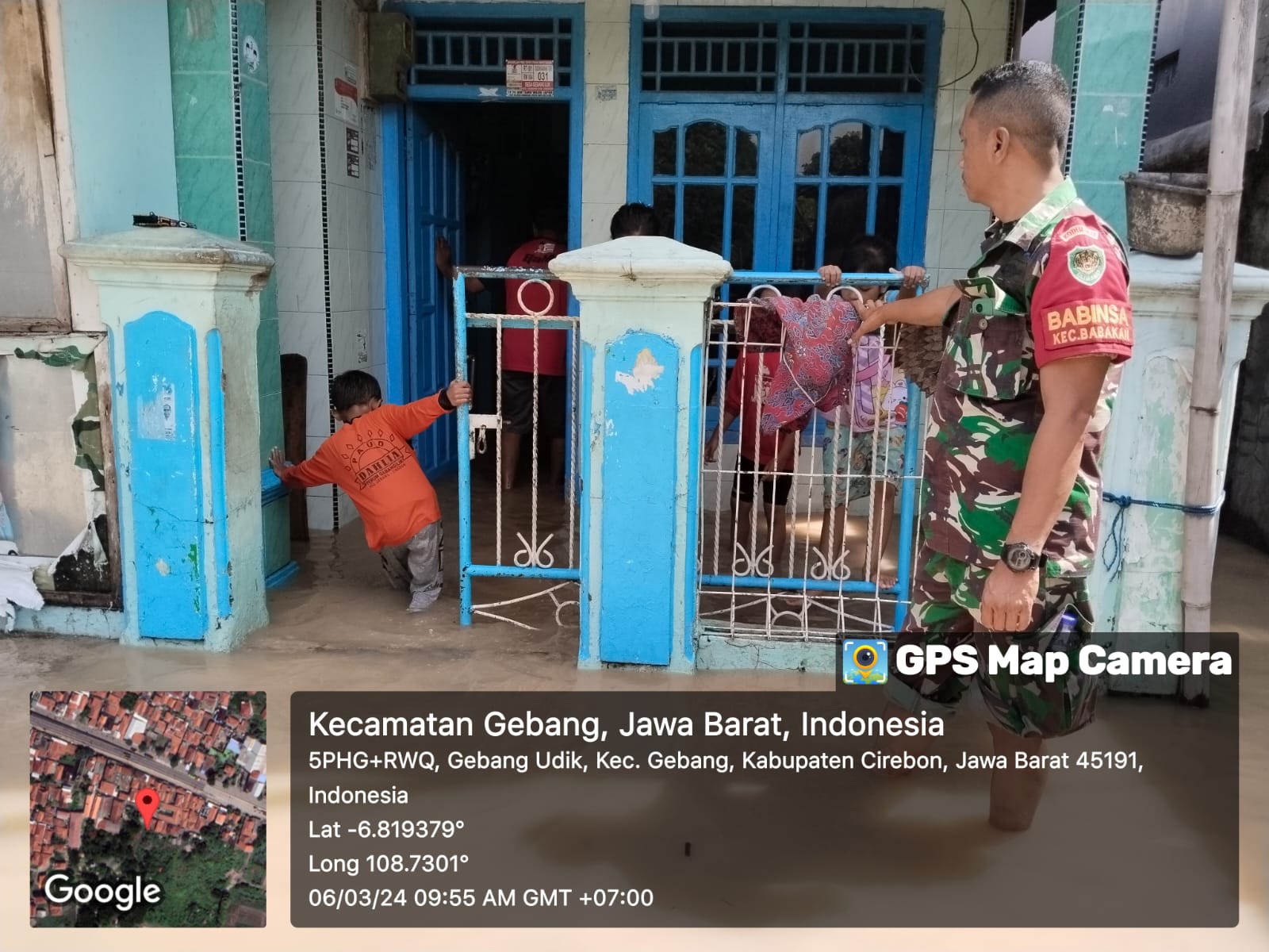
➢ Chronology: Triggered by heavy rain with a long duration in the Waled District area and the upstream area (Kuingan Regency) which caused the water discharge in the Ciberes River to rise so that the river water overflowed into residential areas on Tuesday 05 March 2024 at 19.17 WIB
➢ Location:
● Waled District
- Ciuyah Village
- Mekarsari Village
- Gunungsari Village
● Karang Werang District
- Jatipiting Village
➢ Casualties:
● 3,125 families / 8,067 people affected
● 350 people took refuge in the village hall and village hall hall
● 1 person died
➢ Material Losses:
● 3,947 housing units were submerged
● 11 units of Worship Facilities were affected
● 11 Education Facilities units were affected
● 1 Public Facility unit affected
● Watel Level 140 - 250 cm
➢ Effort:
● The Cirebon Regency BPBD Team evacuated affected residents together with the Joint Team
● The Cirebon Regency BPBD Team carried out a Rapid Assessment and conducted a sweep of the location to ensure the Evacuation of Affected Residents together with the Joint Team
● BPBD sent 2 Fiber Boats and 3 Rubber Boats
➢ Current Conditions: The water has started to recede
Source: Pusdalops - Cirebon Regency BPBD Disaster Management
Impact Statistic
1
Dead
0
Missing
0
Injured
8.1K
Affected Person
350
Displaced
External Video
News
Human SADDD
- Dead 1
- Missing -
- Injured -
- Affected Person 8,067
- Affected Family 3,125
- Internaly Displaced People 350
- Refugees -
- Evacuation Center (in Country) -
- Evacuation Center (out Of Country) -
House
- Affected Houses 3,974
- Damage Partial -
- Totally Damage -
Infrastructure
- Bridges -
- Number of Roads -
- Road Distance (km) -
Public
- Schools 11
- Health -
- Government Office / Public Facilities -
- Settlements -
- Worship Places 11
- Others 1
General
Cost
- Local Currency -
- Cost of Damages -
- Cost of Damages (USD) -
- Cost of Assistance -
- Cost of Assistance (USD) -
Agricultural
- Rice Field -
- Other Crops -
- Fish Ponds -
- Cattle -
- Poultries -
- Livestock -
Relevant Disasters
The ASEAN Disaster Information Network (ADINet) is a repository of information concerning hazards and disasters that have happened in the region. The platform is open for public, which means that the public can submit information about any hazard and disaster to the AHA Centre. Thereafter, the AHA Centre will verify and validate any submitted information to ensure the accuracy of the data inputs. The AHA Centre can also add new information when relevant and as necessary. ADINet has been recording disaster information in the region since the AHA Centre was operational in 2012.

Supported by :