Affected Area/s
- Bago
- Sagaing
- Magway
- Mon
- Tanintharyi
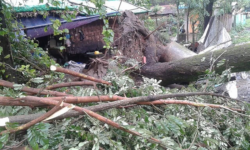
Please visit the following address for detailed situation update, https://ahacentre.org/situation-updates/ = Update as of 8 Aug 2018 = Department of Disaster Management reported that six states are still affected. 1) Karen state, 1564 families / 9019 people affected. 17 evacuation camps are still open. 2) Taninthayi region, 187 families / 1049people affected. 8 evacuation camps are still open. 3) Mon state, 698 families / 3114 people affected. 10 evacuation camps are still open. 4) Bago region, 1337 families / 6148 people affected. 16 evacuation camps are still open. 5) Magway region, 122 families / 464 people affected. 3 evacuation camps are still open. 6) Sagaing state, 83 families / 344 people affected. 1 evacuation camp is still open. = Initial report = Due to strong winds, dozens were injured in a road near Bago Nat vilalge, There are a total of 200 houses being destroyed on 27 July. Flooding had also occurred in the area affecting a total population of 20,000 and 2,500 households. There are currently 12 evacuation shelters for nearly 20,000 being housed in there.
Dead
Missing
Injured
Affected Person
Displaced