Report
VERIFIED
CLOSED
Apr 27, 2024
North Cotabato, Philippines
Philippines, Storms in Carmen (North Cotabato)
VERIFIED
CLOSED
Apr 26, 2024
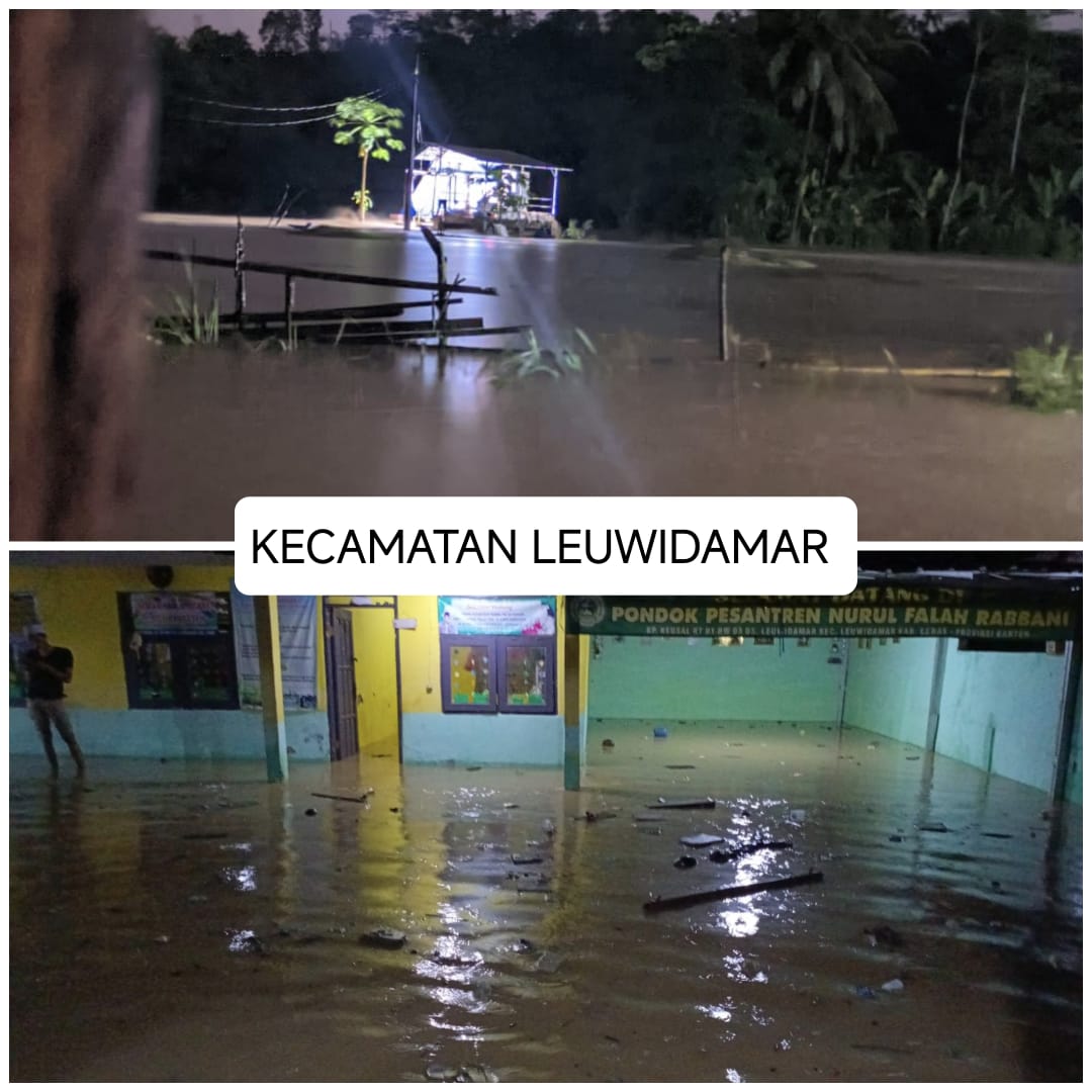
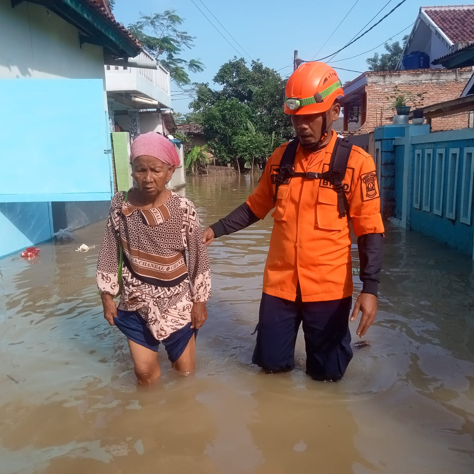
Banten, Indonesia
Indonesia, Flooding and Landslide in Lebak Regency (Banten)
VERIFIED
CLOSED
Apr 26, 2024
Nghệ An, Viet Nam
Viet Nam, Storms and Tornadoes in Ky Son and Tuong Duong (Nghe An)
VERIFIED
CLOSED
Apr 26, 2024
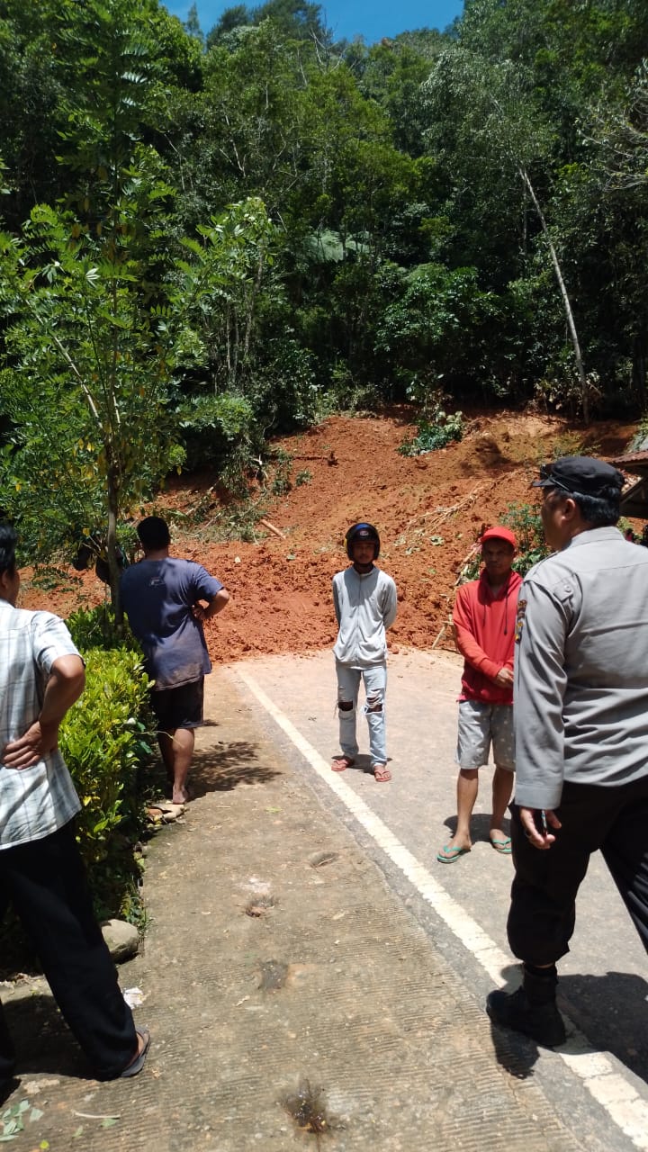
Sulawesi Selatan, Indonesia
Indonesia, Landslides in Toraja Utara (South Sulawesi)
VERIFIED
CLOSED
Apr 26, 2024
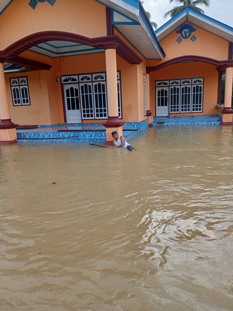
Sulawesi Selatan, Indonesia
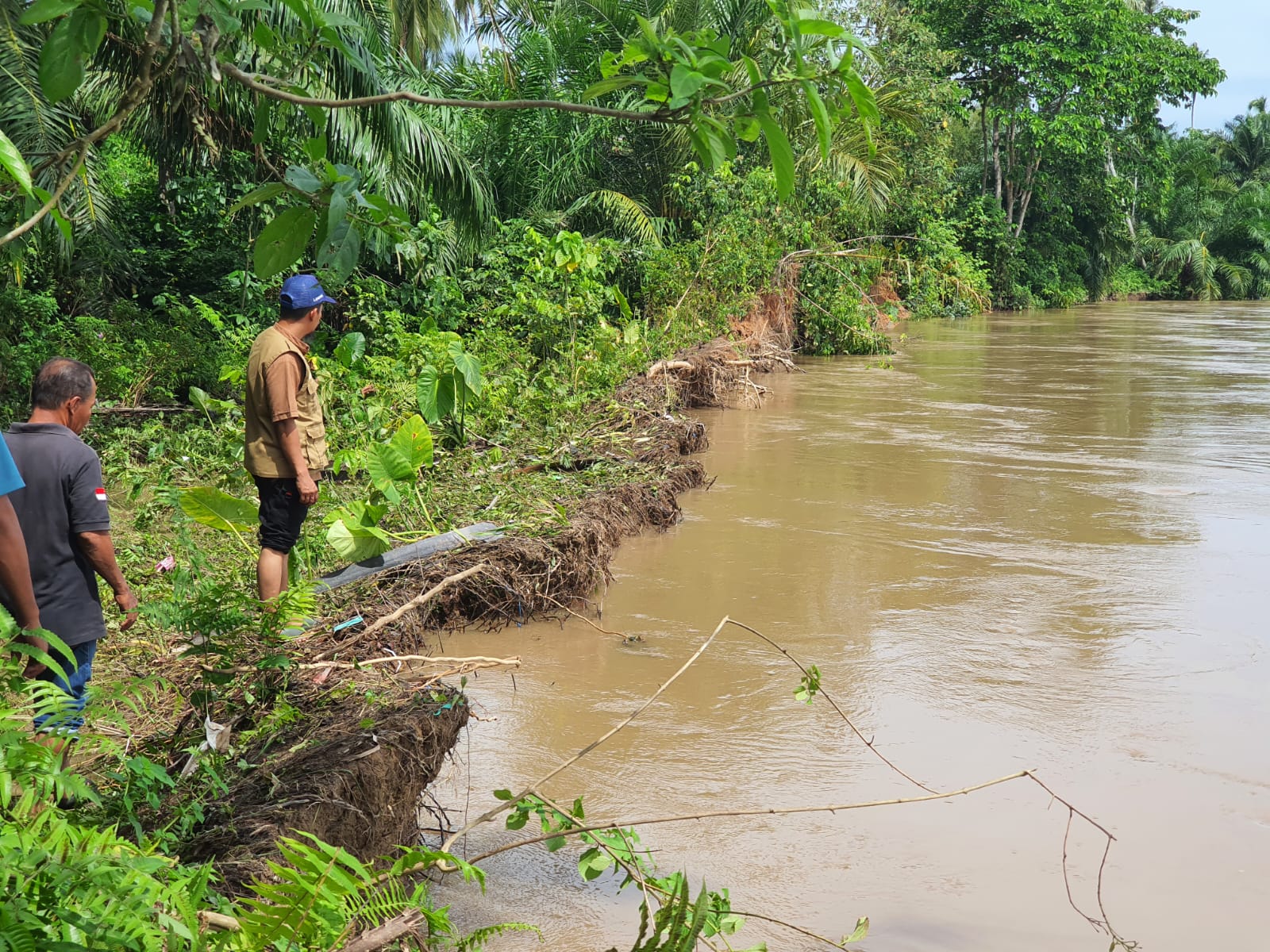
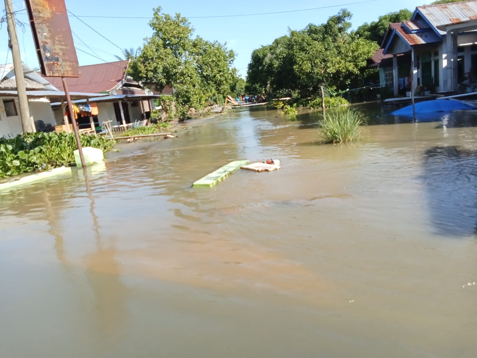
Indonesia, Flooding in Luwu (Sulawesi Selatan)
VERIFIED
CLOSED
Apr 25, 2024
Sulawesi Tengah, Indonesia
Indonesia, Flooding in Banggai (Central Sulawesi)
VERIFIED
CLOSED
Apr 24, 2024
Sulawesi Selatan, Indonesia
Indonesia, Flooding in Luwu Utara (South Sulawesi)
VERIFIED
CLOSED
Apr 24, 2024
Lào Cai, Viet Nam
Viet Nam, Storms and Tornadoes in Lao Cai and Quang Nam
VERIFIED
CLOSED
Apr 24, 2024
Udon Thani, Thailand
Thailand, Storms in Northern and Northeastern Region
VERIFIED
CLOSED
Apr 24, 2024
Sulawesi Selatan, Indonesia
Indonesia, Flooding in Bone (South Sulawesi)
VERIFIED
CLOSED
.jpeg)
Apr 23, 2024
Sulawesi Selatan, Indonesia