Affected Area/s
- Klaten
- Magelang
- Sleman
Chronology: Volcanic activity of Mt. Merapi in the form of lava, hot clouds and ash on Wednesday, 09 March 2022, at 23:18 WIB
Location:
Prov. D.I. Yogyakarta
• Kab. Sleman
• Kec. Cangkringan
- Kel. Glagaharjo
- Kel. Umbulharjo
Prov. Jawa Tengah
Kab. Magelang
• Kec. Dukun
- Ds. Paten
- Ds. Sengi
- Ds. Krinjing
• Kec. Sawangan
- Ds. Ketep
- Ds. Gantang
- Ds. Jati
- Ds. Soronalan
Kab. Klaten
• Kec. Kemalang
- Ds. Balerante
Effort :
Prov. D. I. Yogyakarta, Kab. Sleman
• BPBD Kab. Sleman coordinates with relevant agencies to collect data & handle emergencies
• TRC BPBD Kab. Sleman monitors the slopes of Mt. Merapi in the district. Turi, Pakem & Cangkringan.
• TRC BPBD Kab. Sleman assisted by volunteers to assist the residents' self-evacuation.
• Encouragement of the fleet to assist in the self-evacuation of residents.
• Collecting data on residents who self-evacuate to Balai Kel. Glagaharjo, Cangkringan.
• BPBD Kab. Sleman gives an appeal to all residents who are near the slopes of Mt. Merapi to immediately move away from the danger zone and can immediately gather at the place (assembly point) that has been set to make it easier for the team to carry out rescue & evacuation to a safer place
Prov. Central Java
• Regency. Magelang
- BPBD Kab. Magelang coordinates with BPPTKG and other relevant agencies to update the activities of Mt. Merapi
• Regency. Klaten
- Kalak, Head of Logistics and TRC BPBD Kab. Klaten went to the location as well as coordinated with BPPTKG and local District/Village officials to collect data, handle disaster emergencies & update Mt. Merapi
- BPBD Kab. Klaten provides assistance and provides logistical assistance to refugees at the Rante Village Hall
Alert Status :
• Mt. Merapi has been on ALERT Level III since 05 November 2020
Recommendation :
• The current potential hazards are lava avalanches and hot clouds in the south-southwest sector covering the Boyong River for a maximum of 5 km, Bedog River, Krasak, Bebeng for a maximum of 7 km. The southeast sector covers the Woro River for a maximum of 3 km and the Gendol River for a maximum of 5 km. Meanwhile, the ejection of volcanic material in the event of an explosive eruption can reach a radius of 3 km from the summit.
• The community should not carry out any activities in the potential hazard area.
• The public should anticipate disturbances caused by volcanic ash from the eruption of Mount Merapi and be aware of the dangers of lahars, especially when it rains around Mount Merapi.
• If there is a significant change in activity, the activity status of Mount Merapi will be reviewed immediately.
Latest Condition : Thursday, March 10, 2022, Pkl. 03:20 WIB
• Regency. Sleman
- The ash rain has disappeared but small avalanches still occur frequently and lead to the Southeast or the headwaters of the Gendol river
- Some residents of Dsn. Kalitengah Lor has evacuated independently to the gathering point at Teras Merapi & the T-junction of Kalitengah Kidul Glagaharjo
- Some residents of Dsn. Ngrangkah & Pelemsari have evacuated independently to the Umbulharjo Cangkringan gathering point
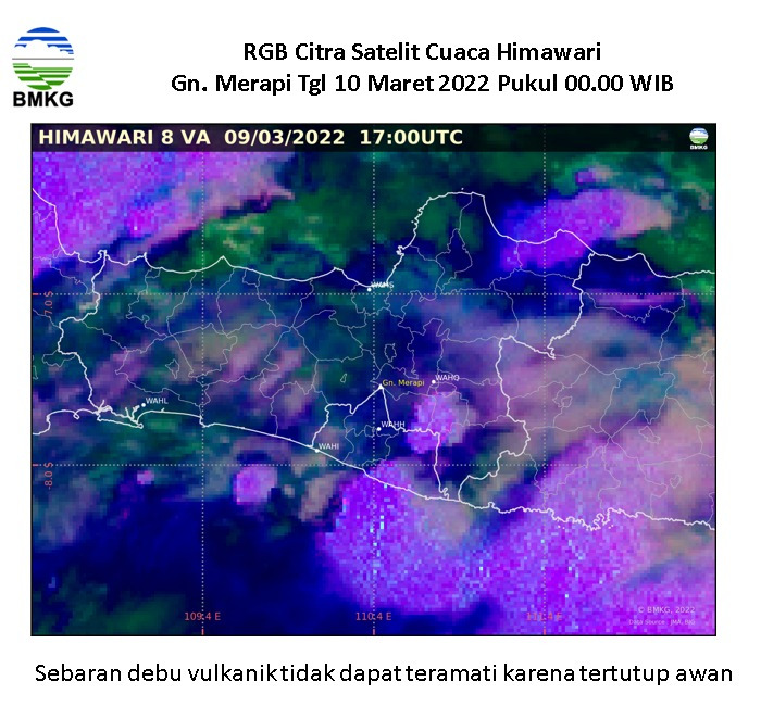
- The distribution of volcanic ash was observed at the Glagaharjo Cangkringan Merapi Terrace
• Regency. Magelang
- The distribution of ash rain still occurs in the Kab. Magelang with light/thin to moderate intensity
- The current situation in the Kab. Magelang is still safe / in a conducive condition
- The distribution of ash rain leads to the west, namely Kab. Magelang and its surroundings. While the hot clouds slide towards the Southeast region, the border of Kab. Sleman, Prov. D. I. Yogyakarta & Kab. Klaten, Prov. Central Java
• Regency. Klaten
- Rainy weather with light intensity in Kab. Klaten
- Residents in the danger zone evacuate independently to the Rante Village hall
- The distribution of ash rain still occurs in the Kab. Klaten with light/thin intensity
Informed By:
BNPB PUSDALOPS
Complaint Number / Call Center : 117 (Toll Free)
Instagram : pusdalops_bnpb
Twitter : @Bnpbpusdalops
Dead
Missing
Injured
Affected Person
Displaced