Philippines, Landslide in Davao de Oro
Feb 06, 2024 19:40
Feb 18, 2024 17:00
Location
Coordinate:
7.411406398028, 125.9283559008
Administrative:
Compostela Valley, Philippines
Affected Area:
Compostela Valley
Hazard
Main : Landslide- Affected Area (km) = -
- Collapsing Area (km) = -
Description
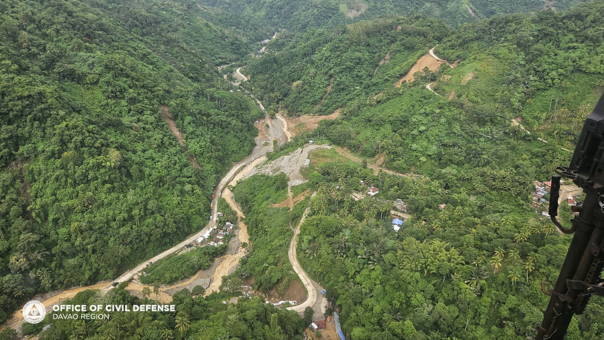
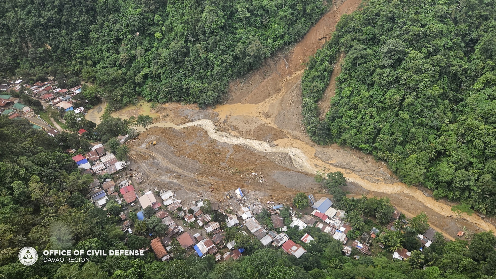
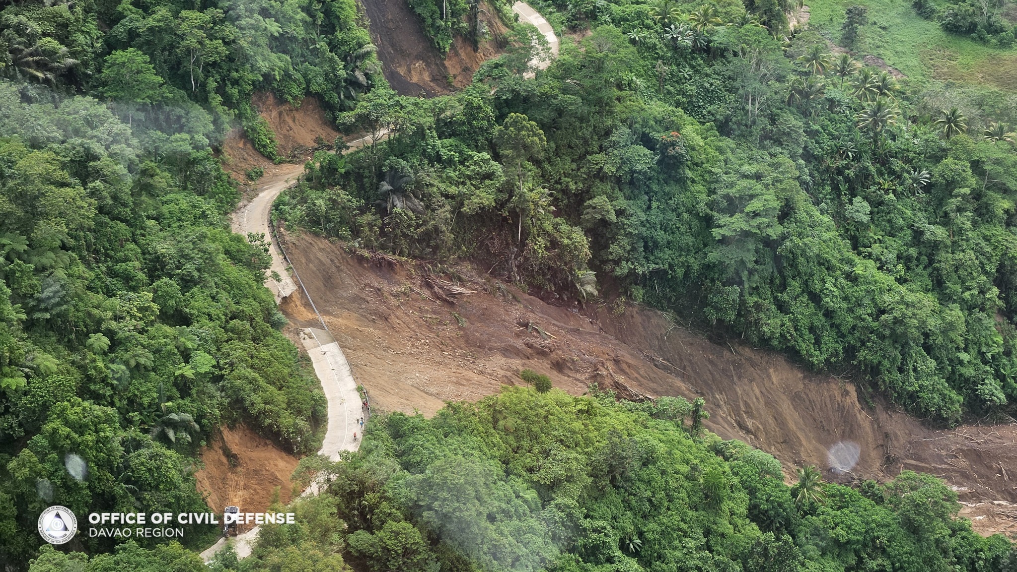
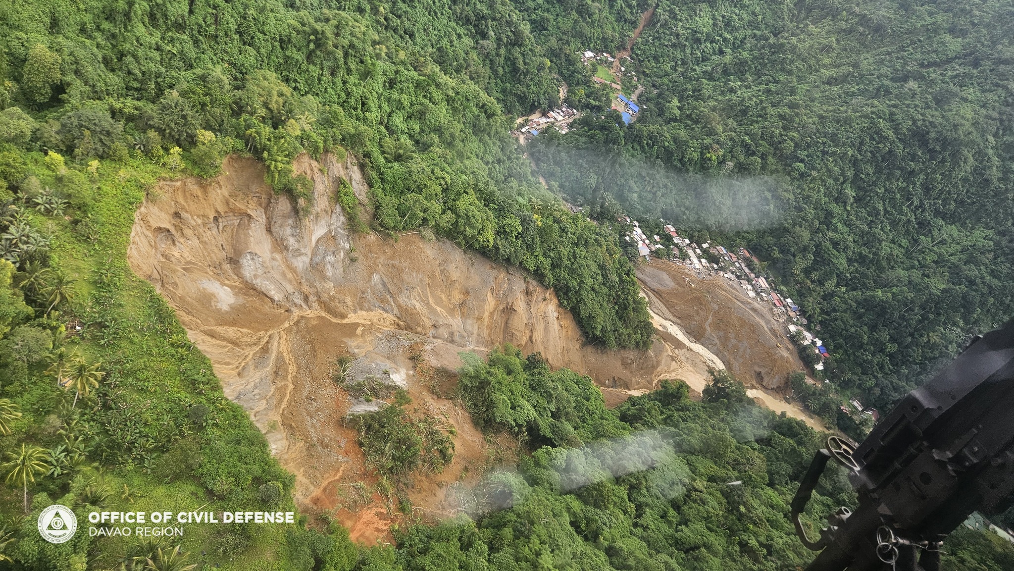
On 06 February 2024, around 7:40 PM, a landslide incident occurred at Zone 1, Brgy.
Masara, Maco, Davao de Oro precipitated by the effects of Shear Line and Trough of
Low-Pressure Area.
Maco MDRRM Office, Davao de Oro PDRRM Office, Phil.Army, Mawab MDRM Office
and Mabini MDRRM Office immediately conducted forced evacuation of the affected Brgy
Masara and 5 other nearby barangays namely Mainit, Tagbaros, Elizalde, Panibasan, all
of Maco Municipality, Davao de Oro due to possible damming effect.
Currently, P/MDRRMOs, BFP Maco Station, 25th IB-PA, DavNor 911 together with APEX
Mining Rescue Team are conducting Search, Rescue and Retrieval Operations in the
incident site.
Impact Statistic
93
Dead
89
Missing
35
Injured
7.3K
Affected Person
6.4K
Displaced
Human SADDD
- Dead 93
- Missing 8
- Injured 35
- Affected Person 7,323
- Affected Family 1,944
- Internaly Displaced People 4,927
- Refugees -
- Evacuation Center (in Country) 13
- Evacuation Center (out Of Country) -
House
- Affected Houses 62
- Damage Partial -
- Totally Damage -
Infrastructure
- Bridges -
- Number of Roads -
- Road Distance (km) -
Public
- Schools -
- Health -
- Government Office / Public Facilities -
- Settlements -
- Worship Places -
- Others -
General
Cost
- Local Currency -
- Cost of Damages -
- Cost of Damages (USD) -
- Cost of Assistance 5,031,690.00
- Cost of Assistance (USD) 89,922.00
Agricultural
- Rice Field -
- Other Crops -
- Fish Ponds -
- Cattle -
- Poultries -
- Livestock -
Relevant Disasters
The ASEAN Disaster Information Network (ADINet) is a repository of information concerning hazards and disasters that have happened in the region. The platform is open for public, which means that the public can submit information about any hazard and disaster to the AHA Centre. Thereafter, the AHA Centre will verify and validate any submitted information to ensure the accuracy of the data inputs. The AHA Centre can also add new information when relevant and as necessary. ADINet has been recording disaster information in the region since the AHA Centre was operational in 2012.

Supported by :