Cambodia, Flooding in Kandal, Kampong Speu, Kampong Chhnang, and Kampot Province
Jan 17, 2023 09:00
Jan 17, 2023 09:00
Location
Coordinate:
11.435417880753, 105.00441276513
Administrative:
Kândal, Cambodia
Affected Area:
Kâmpóng Chhnang, Kâmpóng Spœ, Kâmpôt, Kândal
Hazard
Main : Flood- Inundated Area (km) = -
- Maximum Flood Depth (cm) = -
Description
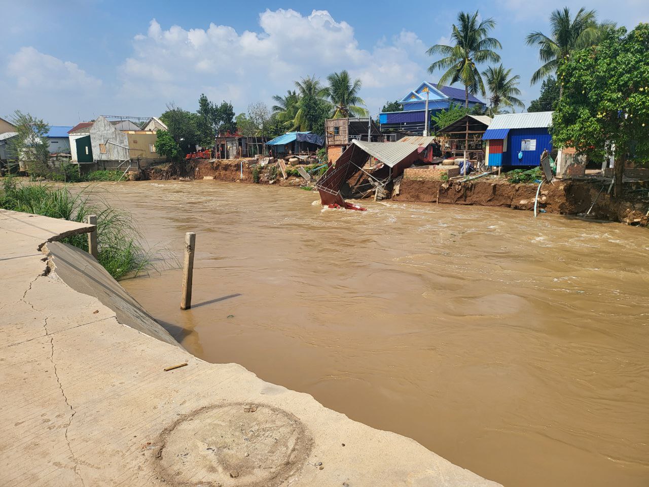
According to the provincial report, the case of river bank collapse in Takhmao city, Kandal province as of January 17, 2023, caused a total damage to 6 houses (7 families / 31 people). Seriously affected a total of 61 houses (65 families / 244 people).
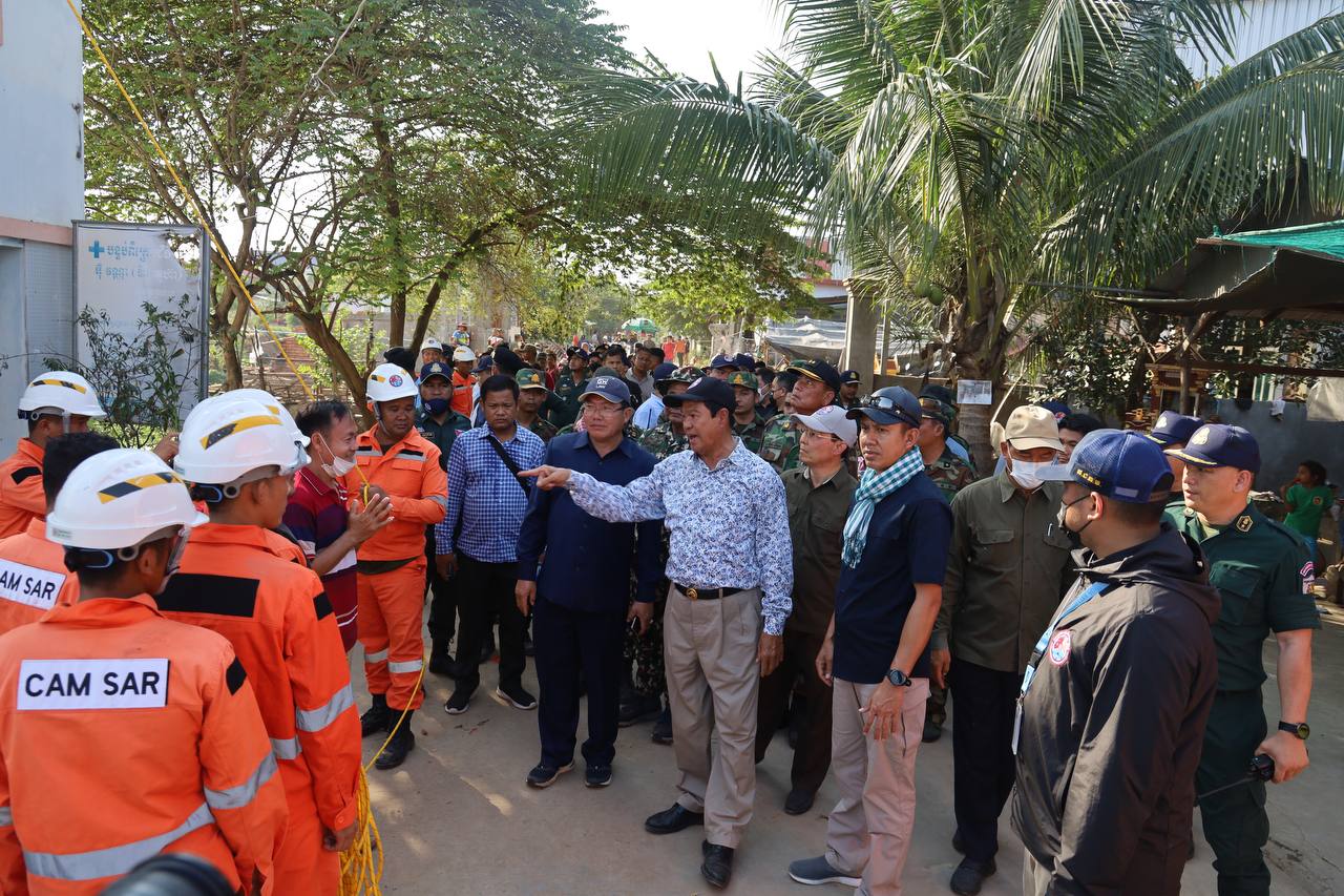
In response, the National Committee for Disaster Management sent troops to search and rescue operations, with the participation of the 911th Parachute Special Forces, the Bodyguard Command, the 99th Transport Brigade and the Special Forces Zone in collaboration with the Command Forces. Unity of Takhmao province and city have been dismantling the houses of the people on both sides of Prek Thi, which is facing collapse into the canal.
In response, the National Committee for Disaster Management sent troops to search and rescue operations, with the participation of the 911th Parachute Special Forces, the Bodyguard Command, the 99th Transport Brigade and the Special Forces Zone in collaboration with the Command Forces. Unity of Takhmao province and city have been dismantling the houses of the people on both sides of Prek Thi, which is facing collapse into the canal.
Impact Statistic
0
Dead
0
Missing
0
Injured
244
Affected Person
0
Displaced
External Video
News
Human SADDD
- Dead -
- Missing -
- Injured -
- Affected Person 244
- Affected Family 65
- Internaly Displaced People -
- Refugees -
- Evacuation Center (in Country) -
- Evacuation Center (out Of Country) -
House
- Affected Houses 61
- Damage Partial -
- Totally Damage 6
Infrastructure
- Bridges -
- Number of Roads -
- Road Distance (km) -
Public
- Schools -
- Health -
- Government Office / Public Facilities -
- Settlements -
- Worship Places -
- Others -
General
Cost
- Local Currency -
- Cost of Damages -
- Cost of Damages (USD) -
- Cost of Assistance -
- Cost of Assistance (USD) -
Agricultural
- Rice Field -
- Other Crops -
- Fish Ponds -
- Cattle -
- Poultries -
- Livestock -
Relevant Disasters
The ASEAN Disaster Information Network (ADINet) is a repository of information concerning hazards and disasters that have happened in the region. The platform is open for public, which means that the public can submit information about any hazard and disaster to the AHA Centre. Thereafter, the AHA Centre will verify and validate any submitted information to ensure the accuracy of the data inputs. The AHA Centre can also add new information when relevant and as necessary. ADINet has been recording disaster information in the region since the AHA Centre was operational in 2012.

Supported by :