Indonesia, Strong Winds in Bintan (Riau Islands)
Oct 06, 2024 06:30
Oct 21, 2024 17:54
Location
Coordinate:
1.0118811833096, 104.70326638849
Administrative:
Kepulauan Riau, Indonesia
Affected Area:
Kepulauan Riau
Hazard
Main : Severe Local Storm- Precipitation (mm) = -
Description
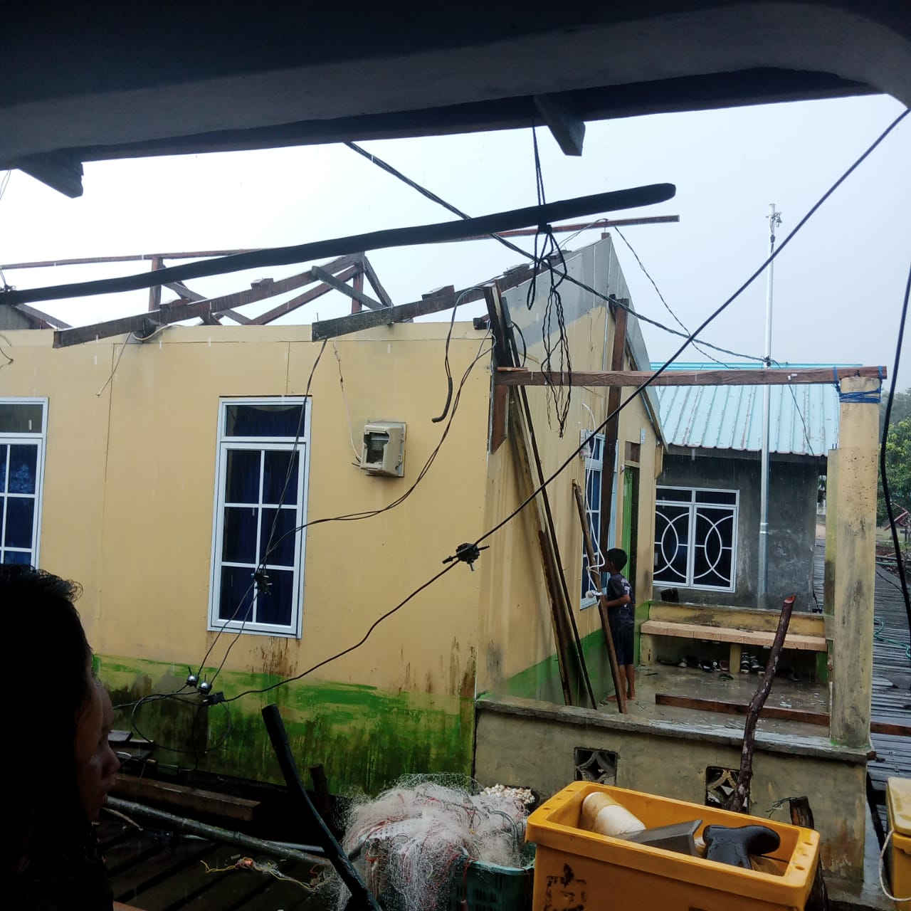
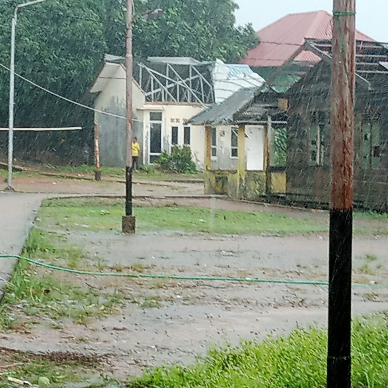
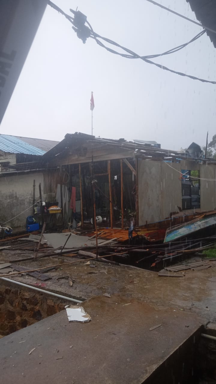
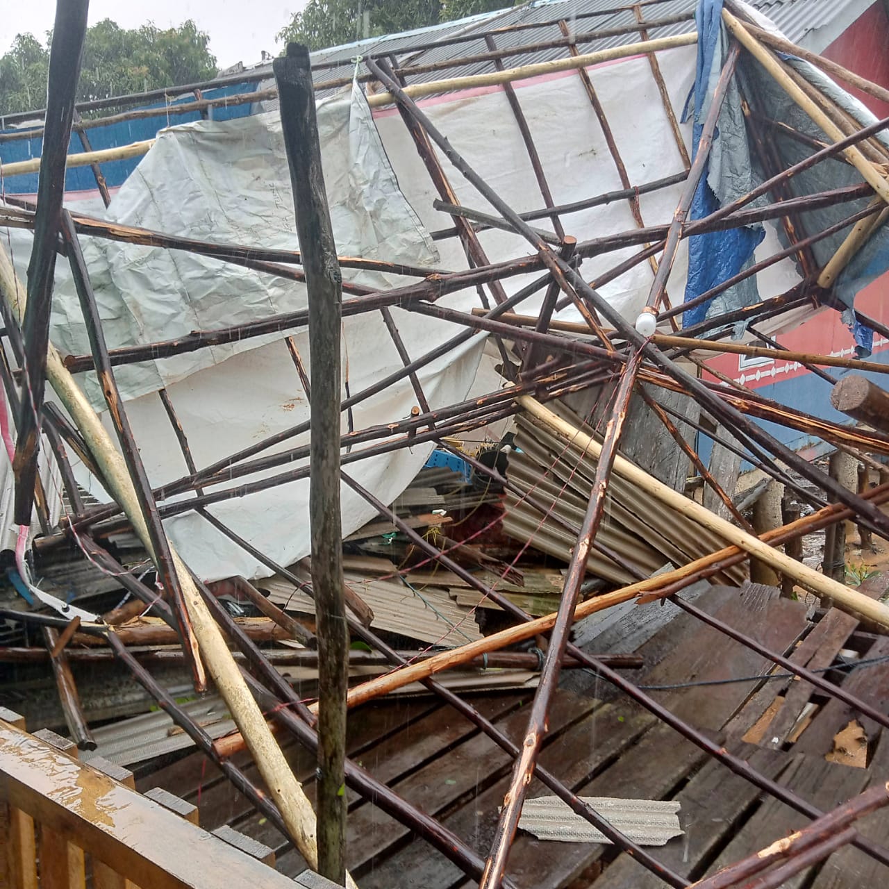
➢ Chronology: Moderate to heavy rain accompanied by strong winds occurred on October 6, 2024 at 06.30 WIB. The impact of moderate to heavy rain accompanied by strong winds caused houses of residents in the Telang Kecil RT.07 and 04 RW.03 area of Mantang Besar Village, Mantang District, Bintan Regency to suffer minor to severe damage.
➢ Location:
● Kec. Mantang
- Mantang Besar Village
➢ Casualties: 57 families affected
➢ Material Losses:
● 43 RR houses
● 8 RS houses
● 6 RB houses
➢ Efforts:
● Conducting a Rapid Assessment including assessing damage, losses and fulfillment of basic needs as a basis for reference for further plans
➢ Elements involved:
● TRC BPBD Bintan Regency
● Elements from the Sub-district
● Elements from the Village
● Bhabinkamtibmas
● Babinsa
● Tagana
● RT/RW and Local Residents
● Volunteers
➢ Current Conditions:
● Based on atmospheric dynamics data on October 5, 2024, wind analysis was monitored at the 3000 feet layer at 12.00 UTC showing a wind convergence area extending from the West to the North of the Riau Islands, which caused the occurrence slowing of air masses thus increasing the potential for the growth of rain clouds in the Bintan Regency area and its surroundings.
● MJO is active in Phase 2: contributing to the process of rain cloud formation in the Indonesian region.
● Analysis of air humidity tends to be wet from the gradient layer up to 500 mb with a value of 60 - 100% supporting the increase in the growth of convective clouds.
● The spatial lability index which was monitored as moderately labile at 18.00 UTC has the potential to increase the activity of the growth of convective clouds around the Riau Islands area, especially Bintan Regency and its surroundings.
Source: Bu Ramlah BPBD Head of Bintan Regency
Impact Statistic
0
Dead
0
Missing
0
Injured
228
Affected Person
0
Displaced

External Video
News
Human SADDD
- Dead -
- Missing -
- Injured -
- Affected Person 228
- Affected Family 57
- Internaly Displaced People -
- Refugees -
- Evacuation Center (in Country) -
- Evacuation Center (out Of Country) -
House
- Affected Houses 57
- Damage Partial 51
- Totally Damage 6
Infrastructure
- Bridges -
- Number of Roads -
- Road Distance (km) -
Public
- Schools -
- Health -
- Government Office / Public Facilities -
- Settlements -
- Worship Places -
- Others -
General
Cost
- Local Currency -
- Cost of Damages -
- Cost of Damages (USD) -
- Cost of Assistance -
- Cost of Assistance (USD) -
Agricultural
- Rice Field -
- Other Crops -
- Fish Ponds -
- Cattle -
- Poultries -
- Livestock -
Relevant Disasters
The ASEAN Disaster Information Network (ADINet) is a repository of information concerning hazards and disasters that have happened in the region. The platform is open for public, which means that the public can submit information about any hazard and disaster to the AHA Centre. Thereafter, the AHA Centre will verify and validate any submitted information to ensure the accuracy of the data inputs. The AHA Centre can also add new information when relevant and as necessary. ADINet has been recording disaster information in the region since the AHA Centre was operational in 2012.

Supported by :