Indonesia, Strong Wind in Banjarnegara (Central Java)
Sep 25, 2024 14:00
Oct 01, 2024 19:24
Location
Coordinate:
-7.3518819224362, 109.65741903888
Administrative:
Jawa Tengah, Indonesia
Affected Area:
Jawa Tengah
Hazard
Main : Storm- Precipitation (mm) = -
Description
➢ Kronologis : Dipicu akibat hujan dengan intensitas sedang hingga lebat disertai angin kencang di wilayah Kecamatan Banjarmangu pada hari Rabu, 25 September 2024, Pkl. 14:00 WIB
➢ Lokasi :
● Kecamatan Banjarmangu
- Desa Kalilunjar
➢ Korban jiwa :
● 71 KK / 113 jiwa terdampak
➢ Kerugian Materiil :
● 62 unit rumah Rusak Ringan
➢ Upaya :
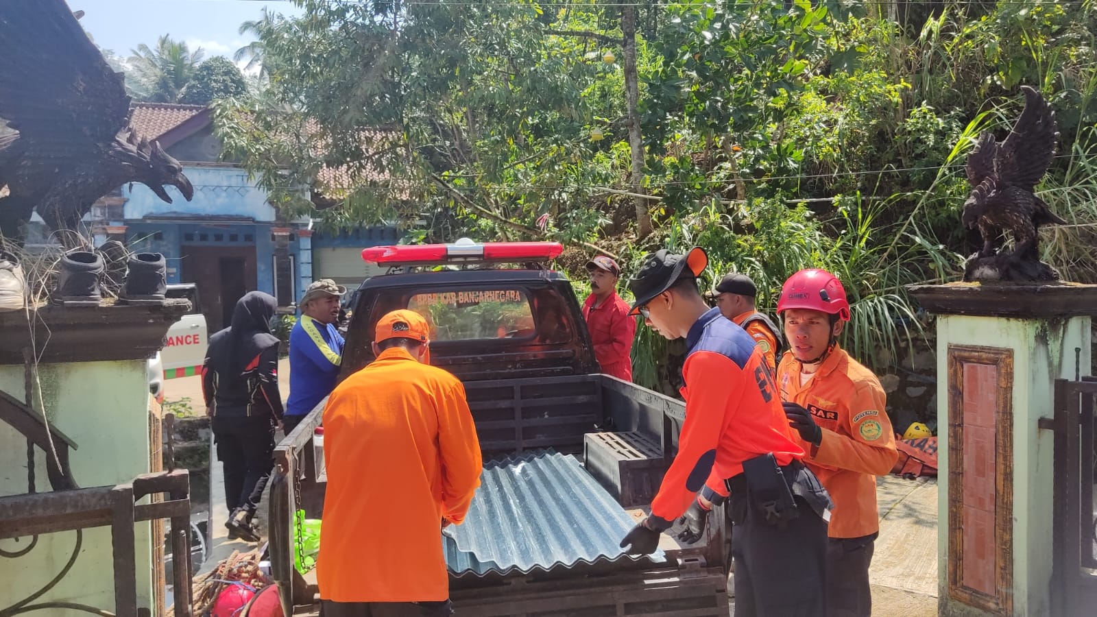
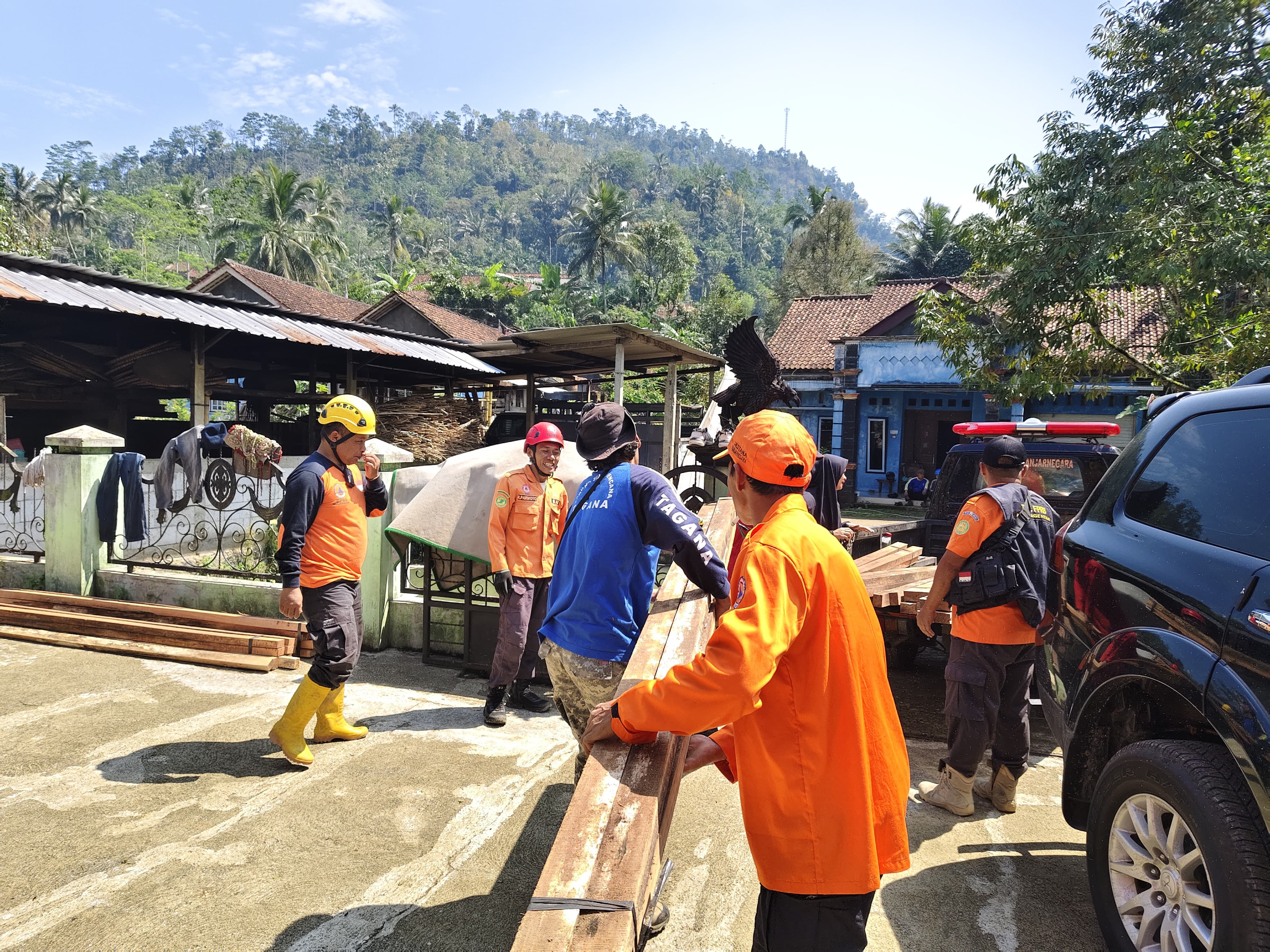
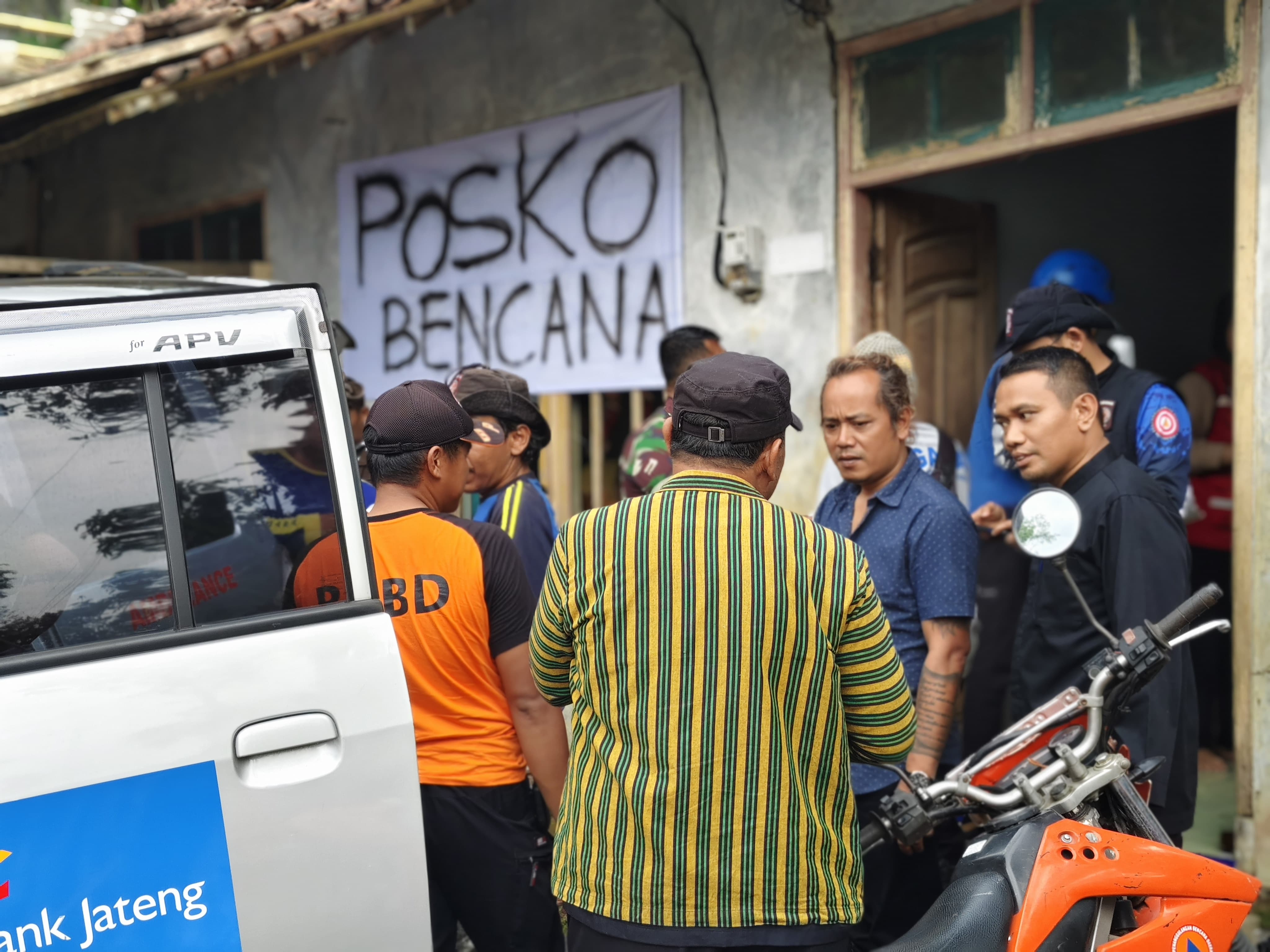
● Tim BPBD Kabupaten Banjarnegara berkoordinasi dengan instansi terkait serta pihak Kecamatan / Desa & unsur relawan guna melakukan pendataan dan penanganan
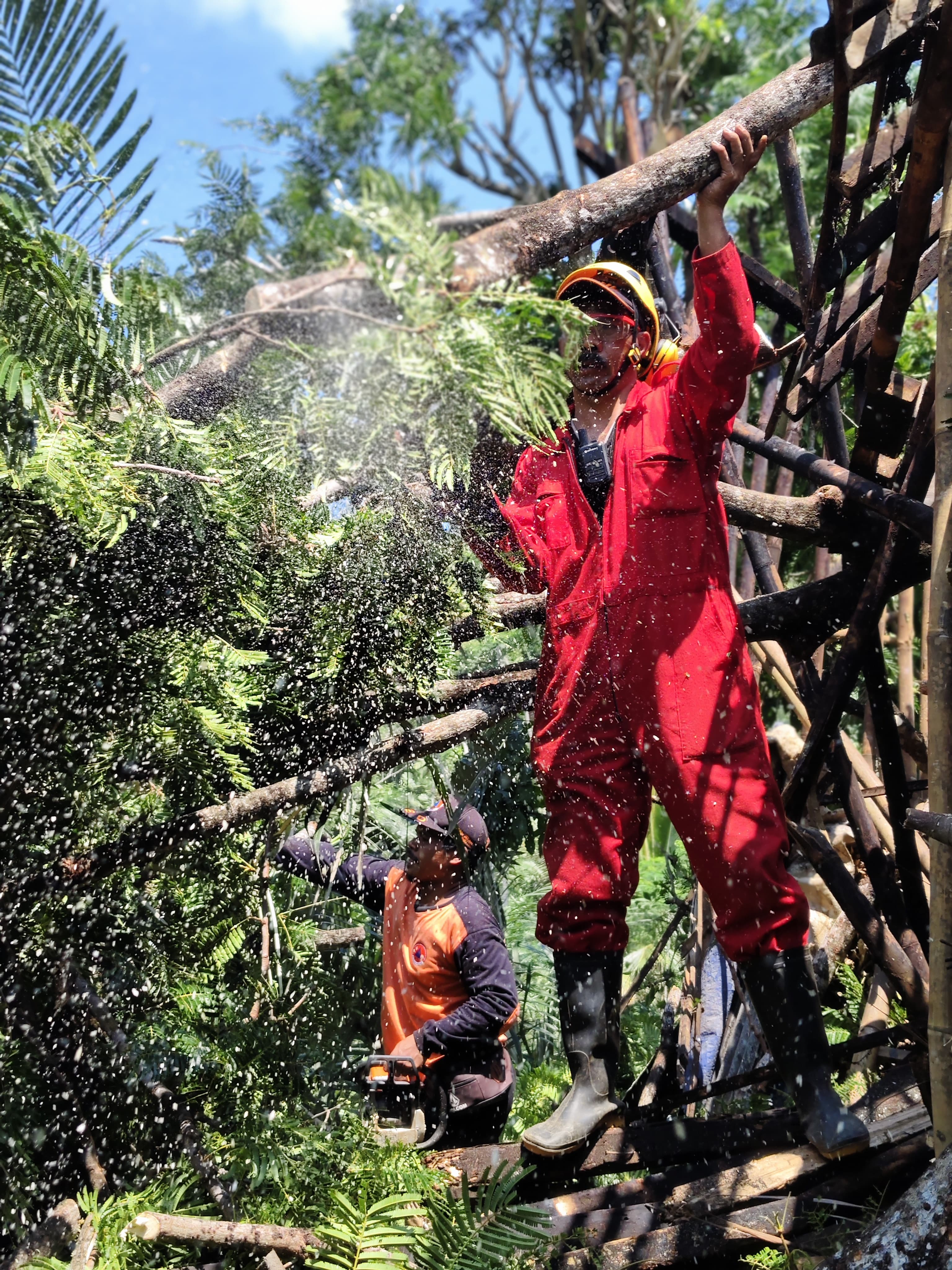
● Melakukan pembersihan material pohon tumbang yang mengganggu akses jalan
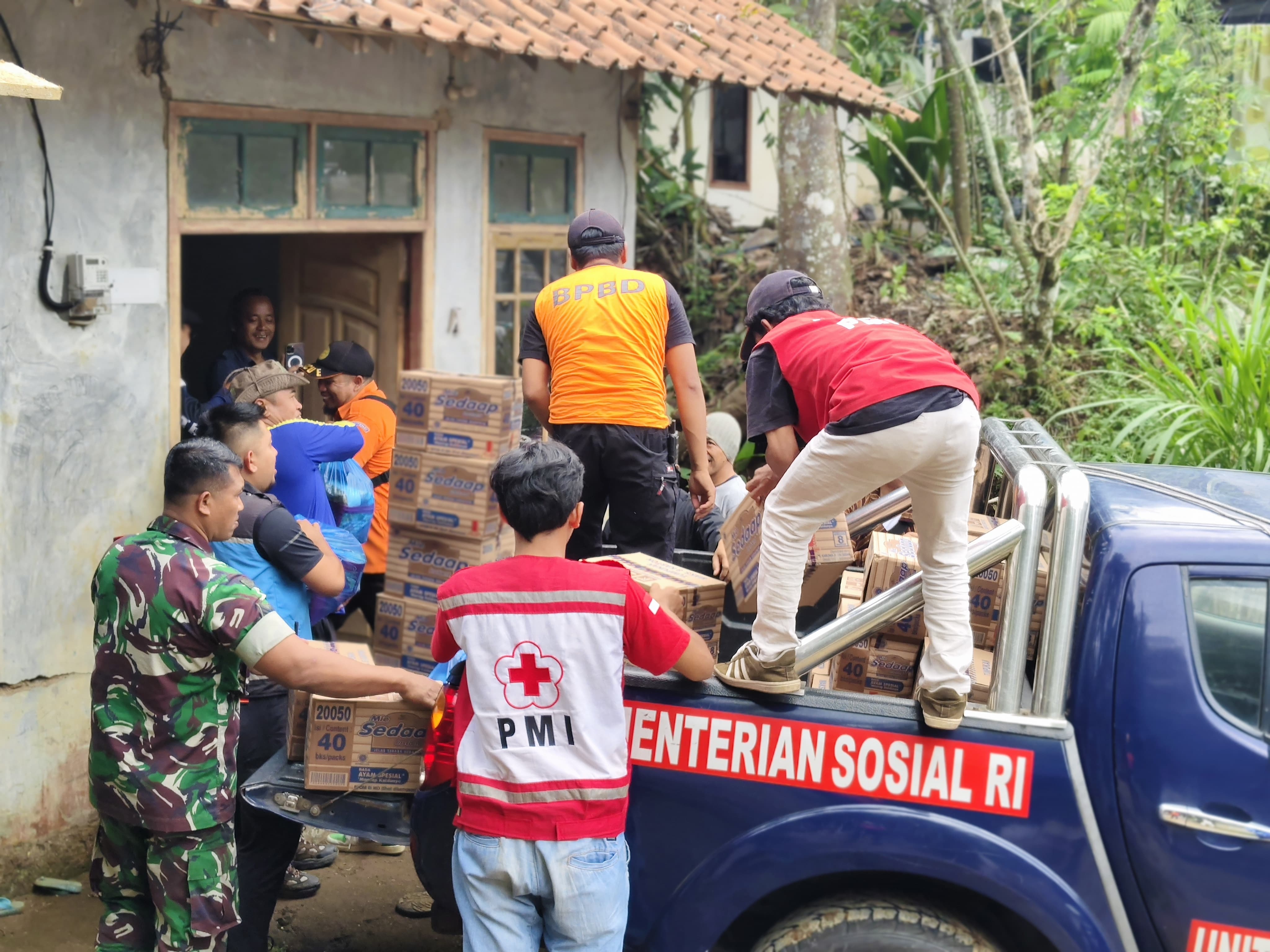
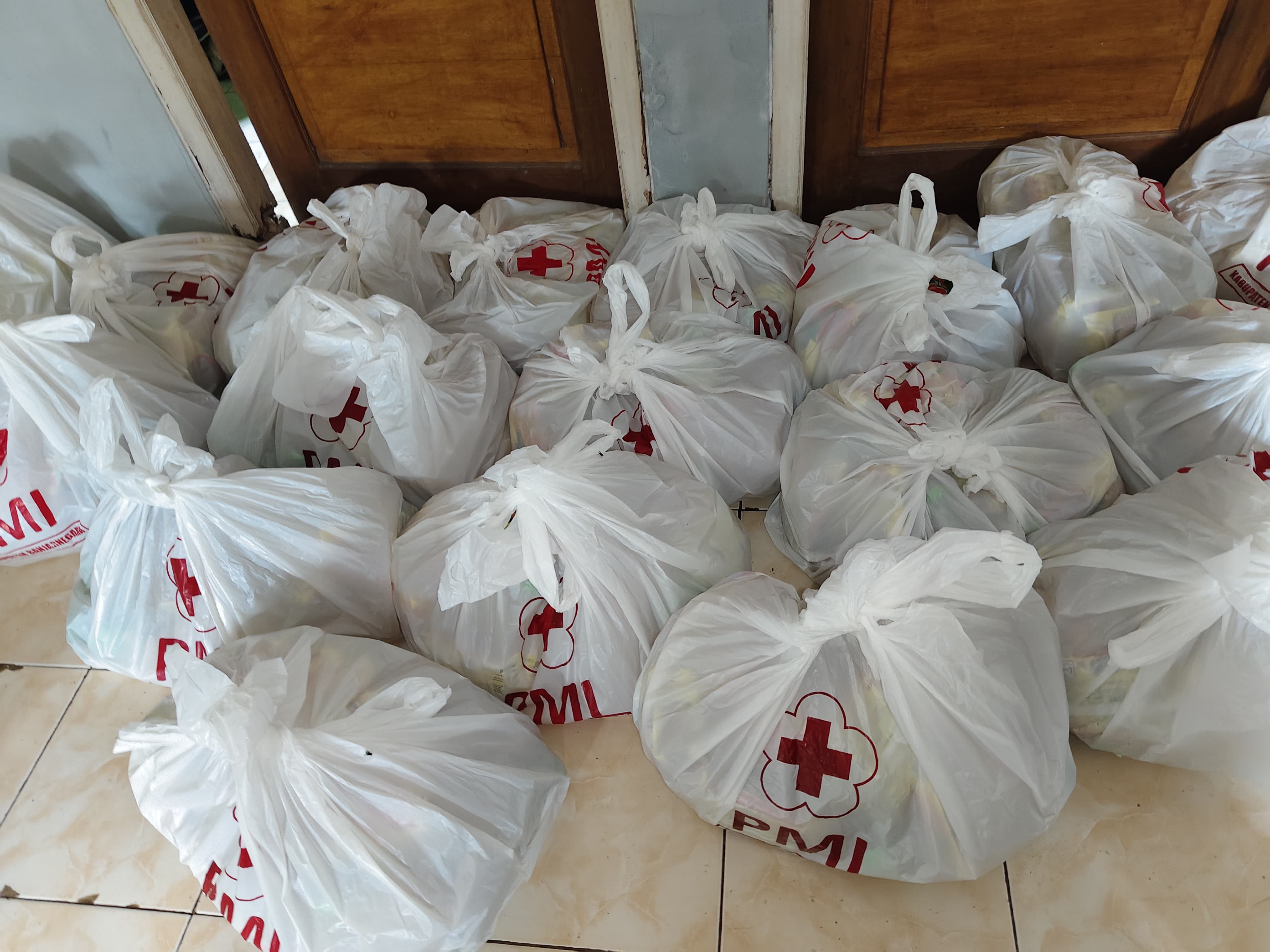
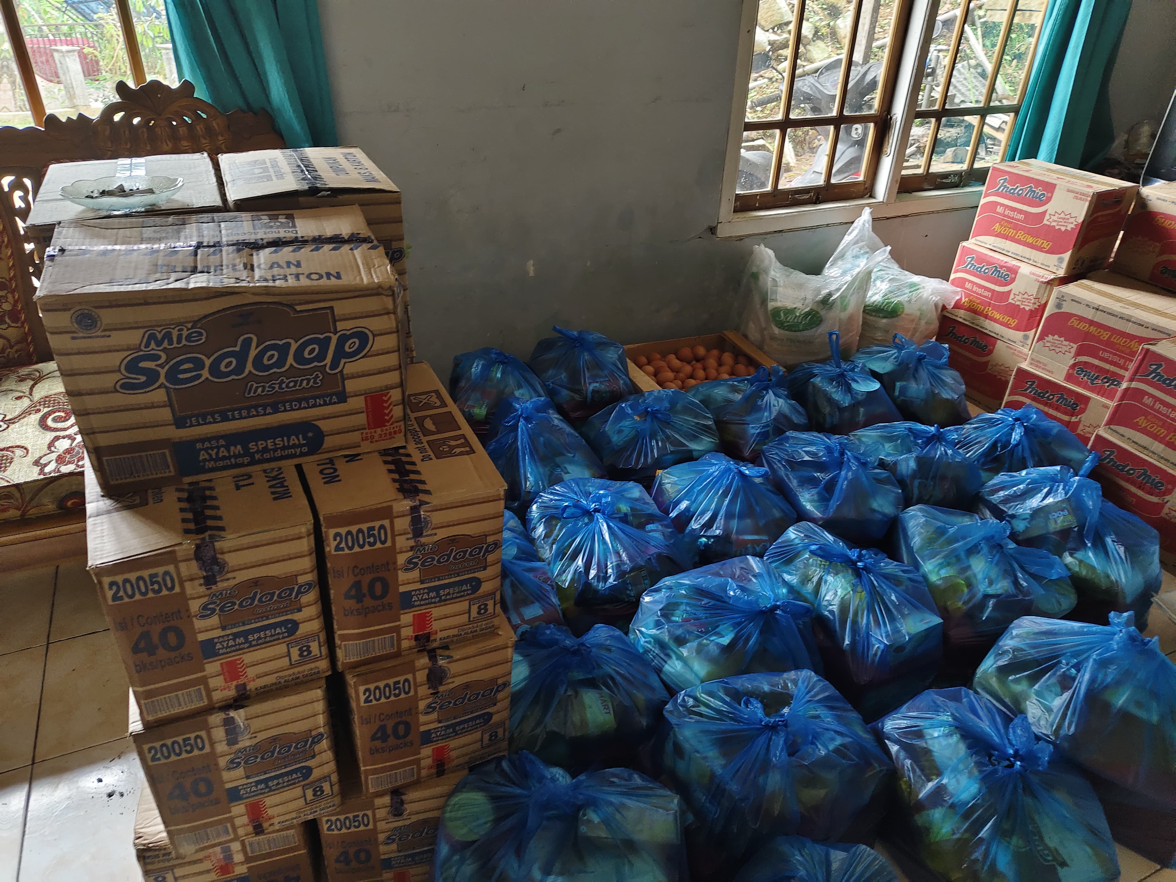
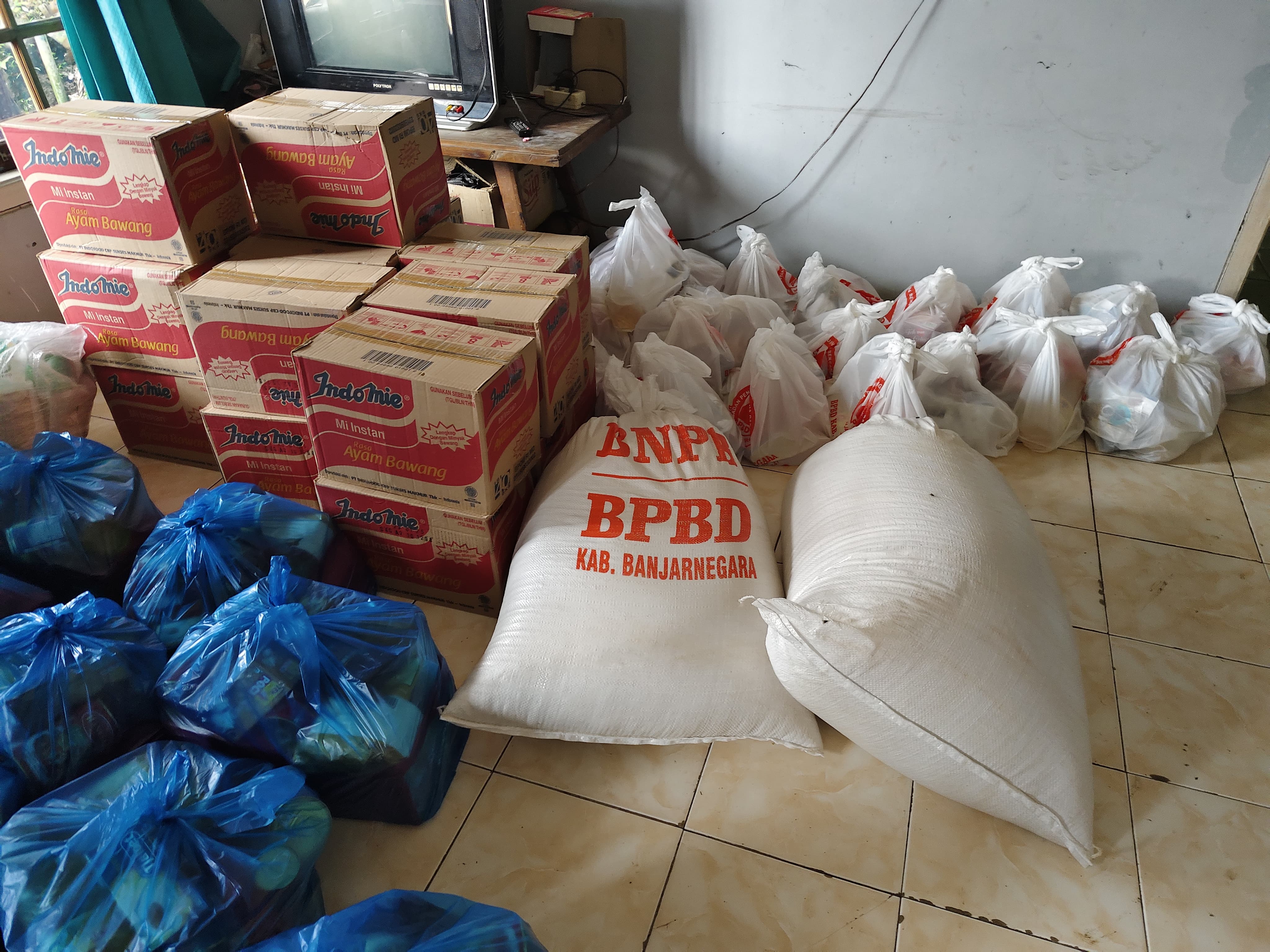
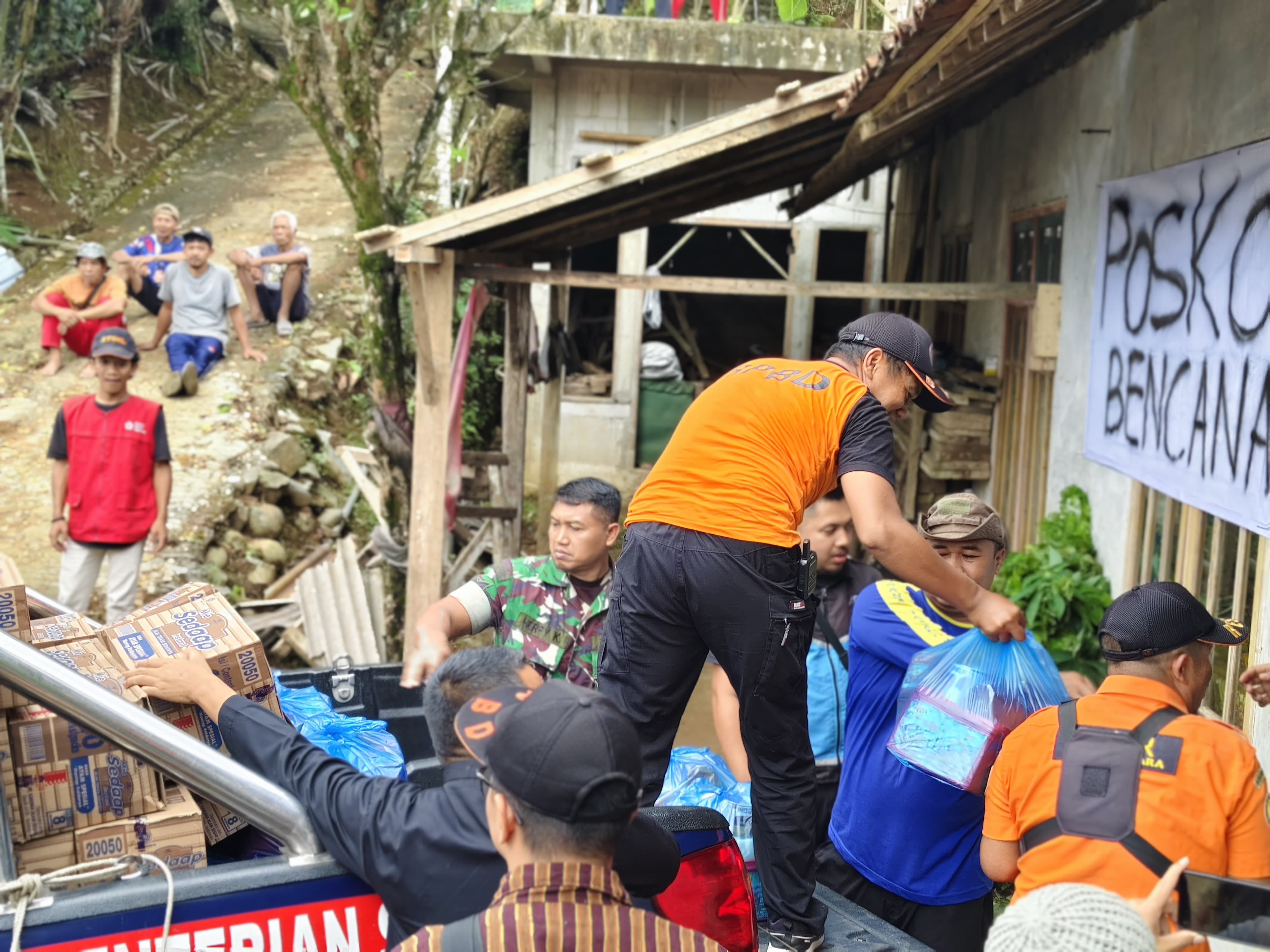
● Melakukan pendistribusian logistik permakanan & non permakanan untuk masyarakat yang terdampak
● Memberikan himbauan kepada masyarakat agar dapat selalu waspada
● Tagana telah mendirikan dapur umum di lokasi terdampak di Desa Kalilunjar
➢ Unsur Yang Terlibat :
● BPBD Banjarnegara
● Koramil Banjarmangu
● Polsek Banjarmangu
● PMI Banjarnegara
● FPRB Banjarmangu
● Dinsos/ Tagana Banjarnegara
● SAR MTA Banjarnegara
● Pemerintah Desa
● Relawan Lainya
● Warga Masyarakat
➢ Kebutuhan Mendesak :
● Logistik permakanan
● Bahan bangunan
➢ Kondisi Mutakhir :
● Telah terdistribusikan bantuan logistik untuk para korban terdampak sebanyak 62 paket
Sumber : Bpk. Mimid Staf Darlog BPBD Kabupaten Banjarnegara
Impact Statistic
0
Dead
0
Missing
0
Injured
113
Affected Person
0
Displaced


External Video
News
Human SADDD
- Dead -
- Missing -
- Injured -
- Affected Person 113
- Affected Family 71
- Internaly Displaced People -
- Refugees -
- Evacuation Center (in Country) -
- Evacuation Center (out Of Country) -
House
- Affected Houses -
- Damage Partial 62
- Totally Damage -
Infrastructure
- Bridges -
- Number of Roads -
- Road Distance (km) -
Public
- Schools -
- Health -
- Government Office / Public Facilities -
- Settlements -
- Worship Places -
- Others -
General
Cost
- Local Currency -
- Cost of Damages -
- Cost of Damages (USD) -
- Cost of Assistance -
- Cost of Assistance (USD) -
Agricultural
- Rice Field -
- Other Crops -
- Fish Ponds -
- Cattle -
- Poultries -
- Livestock -
Relevant Disasters
The ASEAN Disaster Information Network (ADINet) is a repository of information concerning hazards and disasters that have happened in the region. The platform is open for public, which means that the public can submit information about any hazard and disaster to the AHA Centre. Thereafter, the AHA Centre will verify and validate any submitted information to ensure the accuracy of the data inputs. The AHA Centre can also add new information when relevant and as necessary. ADINet has been recording disaster information in the region since the AHA Centre was operational in 2012.

Supported by :