Indonesia, Storms in Sukabumi Regency (West Java)
Oct 16, 2024 06:00
Oct 26, 2024 16:56
Location
Coordinate:
-7.0762082187722, 106.70762096827
Administrative:
Jawa Barat, Indonesia
Affected Area:
Jawa Barat
Hazard
Main : Storm- Precipitation (mm) = -
Description
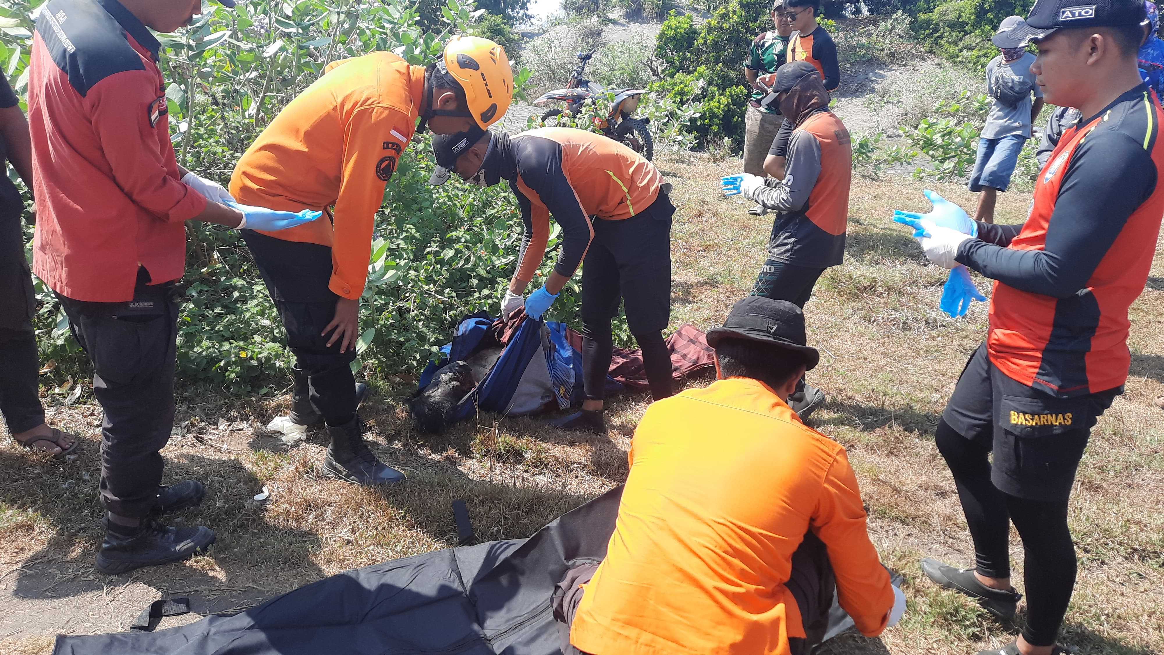
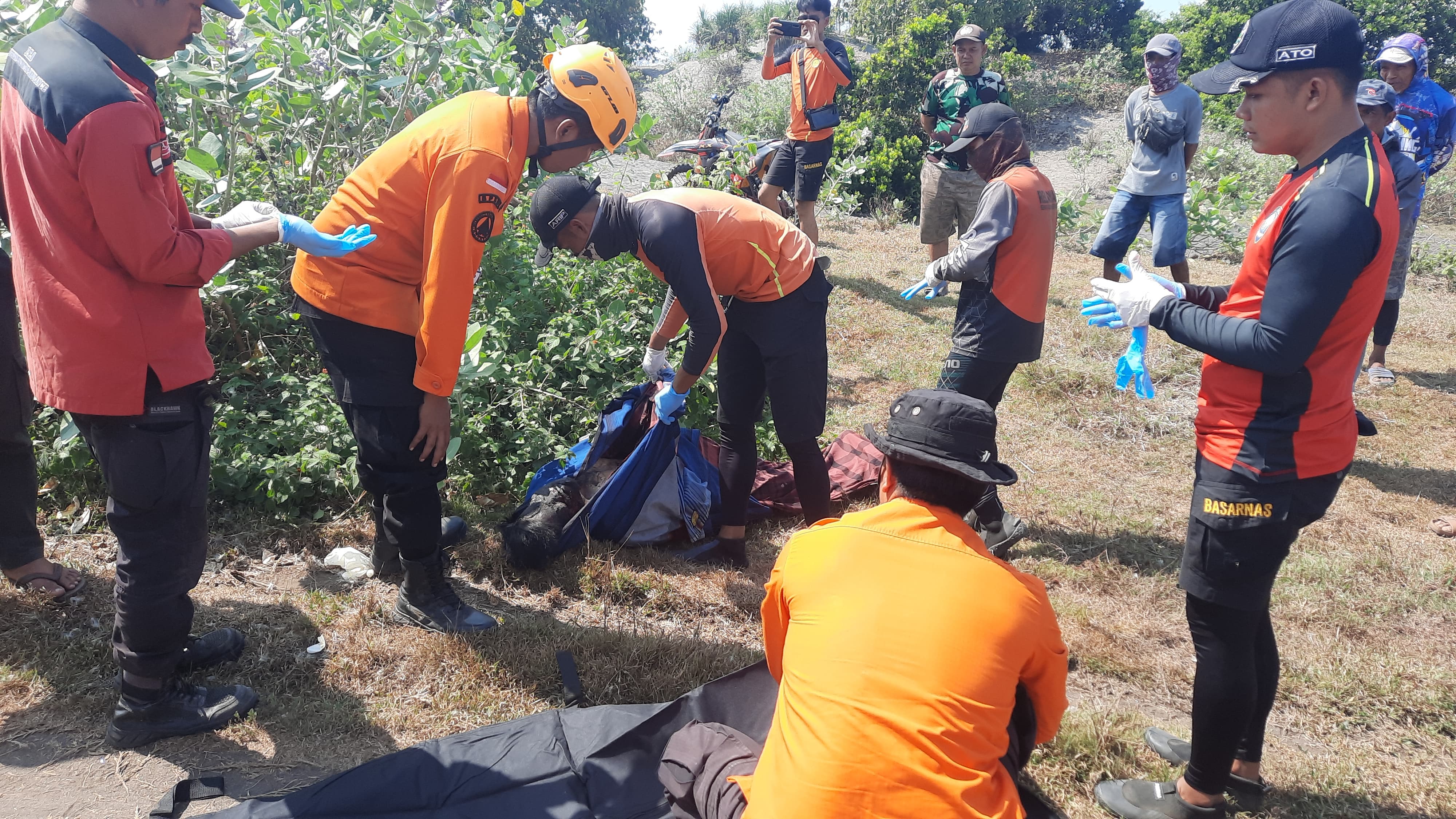
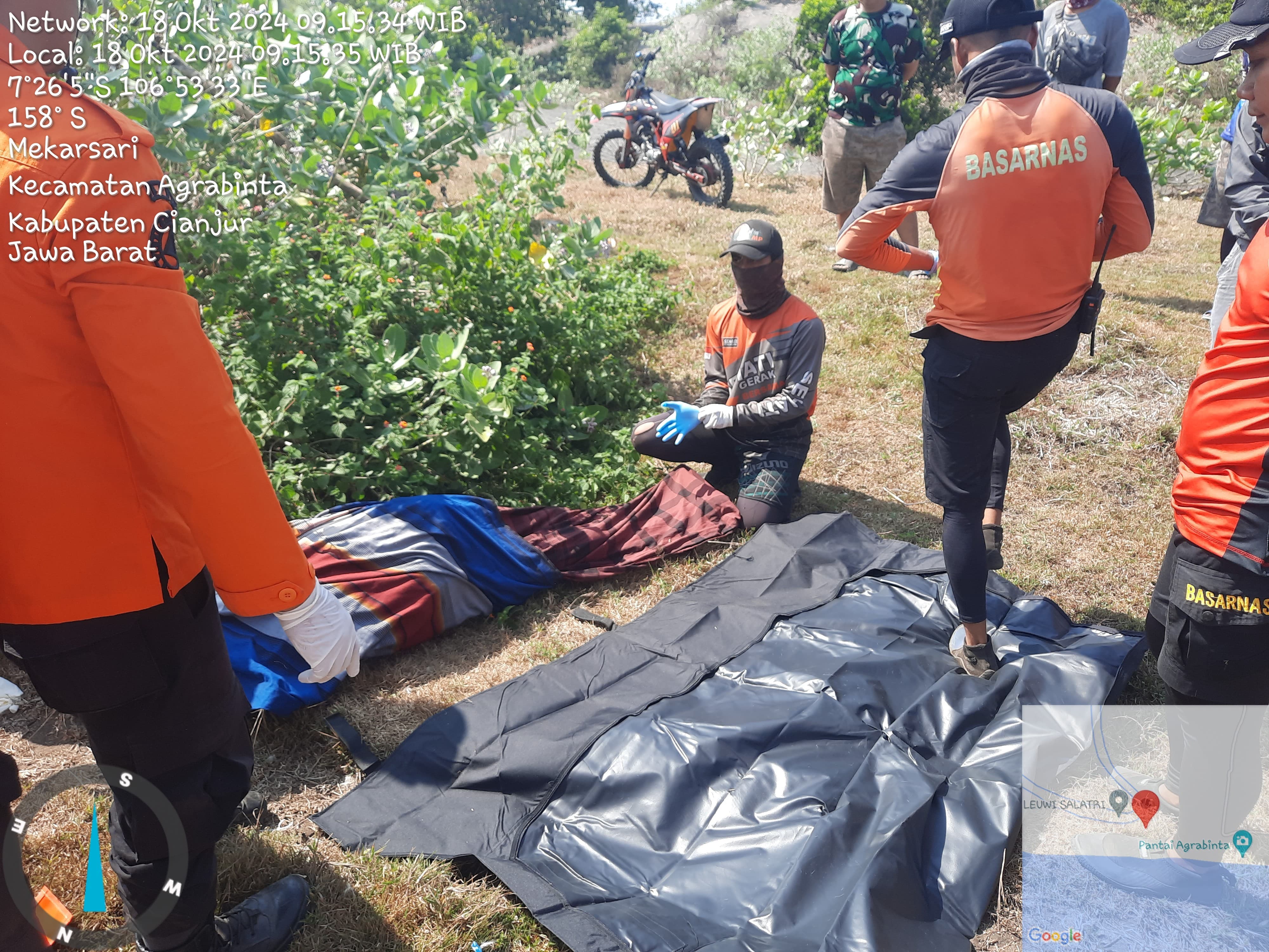
➢ Chronology: Wednesday, October 16, 2024 at 06.00 WIB There was a high sea wave causing 1 pier bridge to be cut off.
➢ Location:
● Tegalbuleud District
- Buniasih Village
➢ Efforts:
● BPBD Sukabumi Regency conducted a rapid assessment and data collection
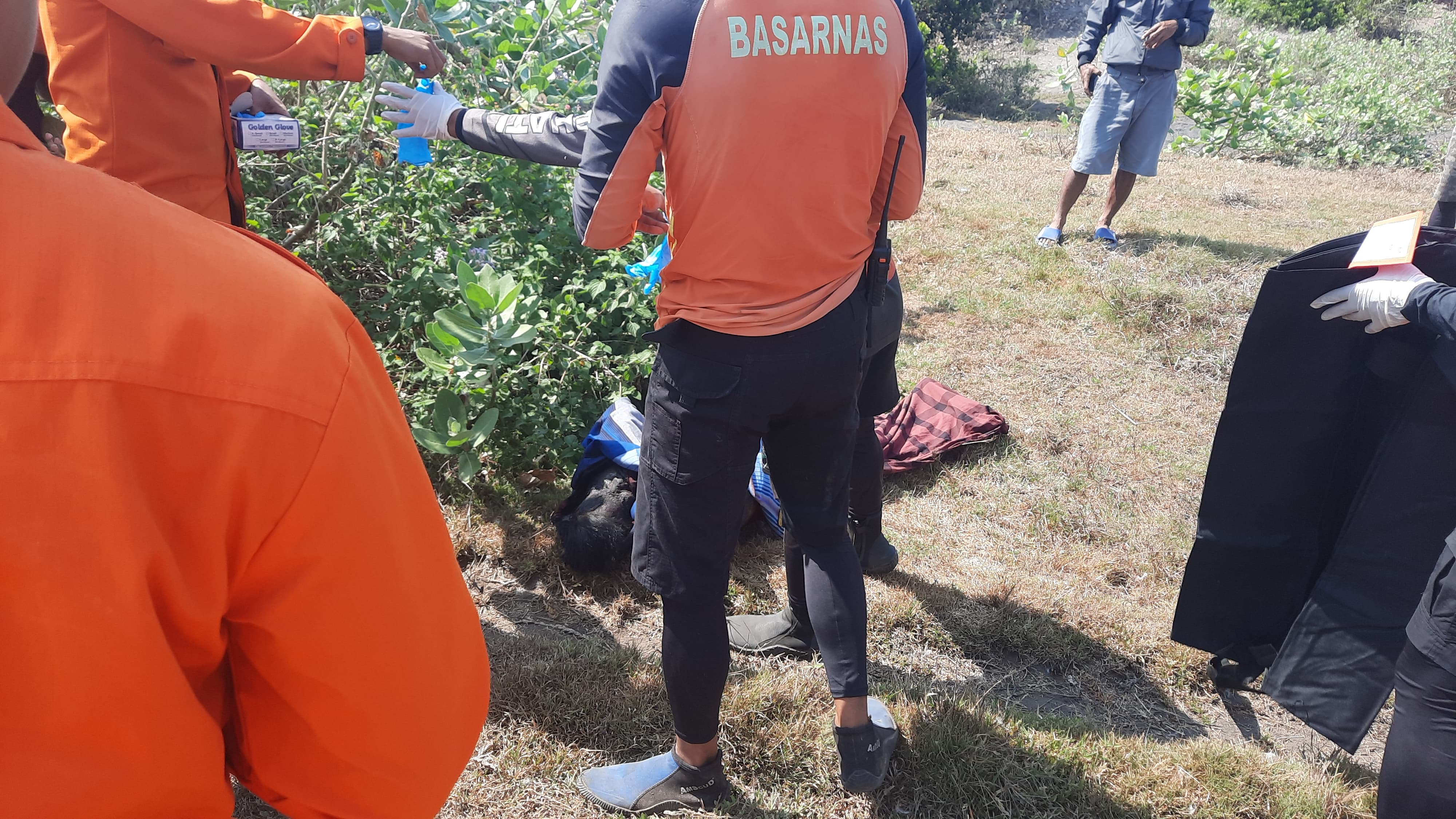
● BASARNAS evacuated victims using 1 helicopter
● TNI AU evacuated victims using 2 helicopters
● Head of Water Police Unit of Sukabumi Resort Police
● Tegal Buleud Police Chief
● Ujung Genteng Post Commander
● Water Police Unit Members
● Tegalbuleud Koramil 2212 Members
● Tegal Buleud Sub-district Head
● Tegalbuleud Sub-district Secretary
● Sukabumi Regency Basarnas
● Jakarta SAR.
● Sukabumi Regency BPBD
● Volunteers and Community Leaders.
● Medical Team from Tegal Buleud, Ciracap and Surade Health Centers.
➢ Current Condition:
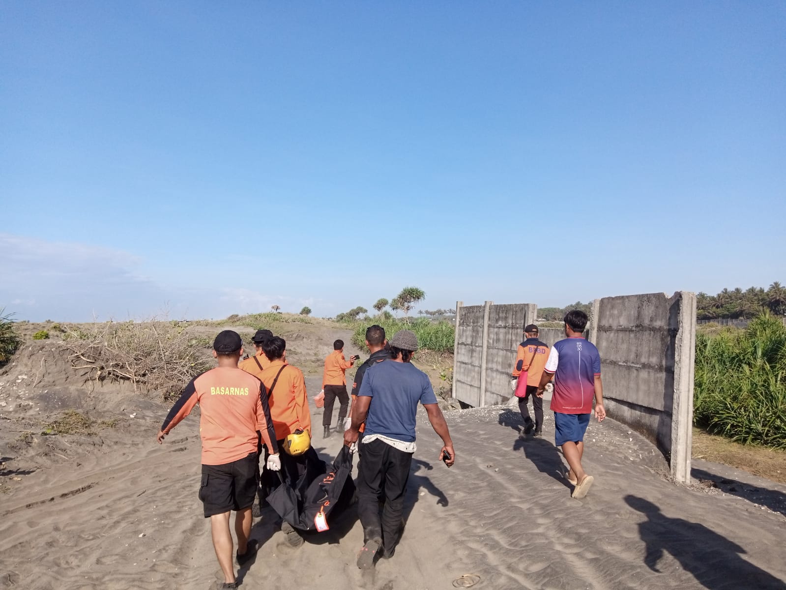
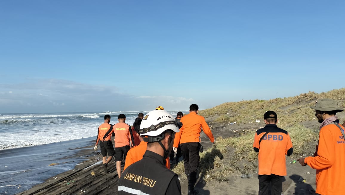
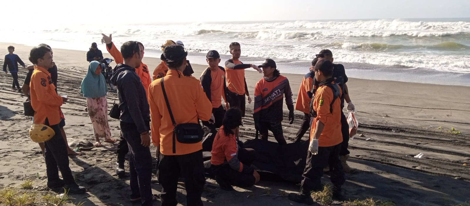
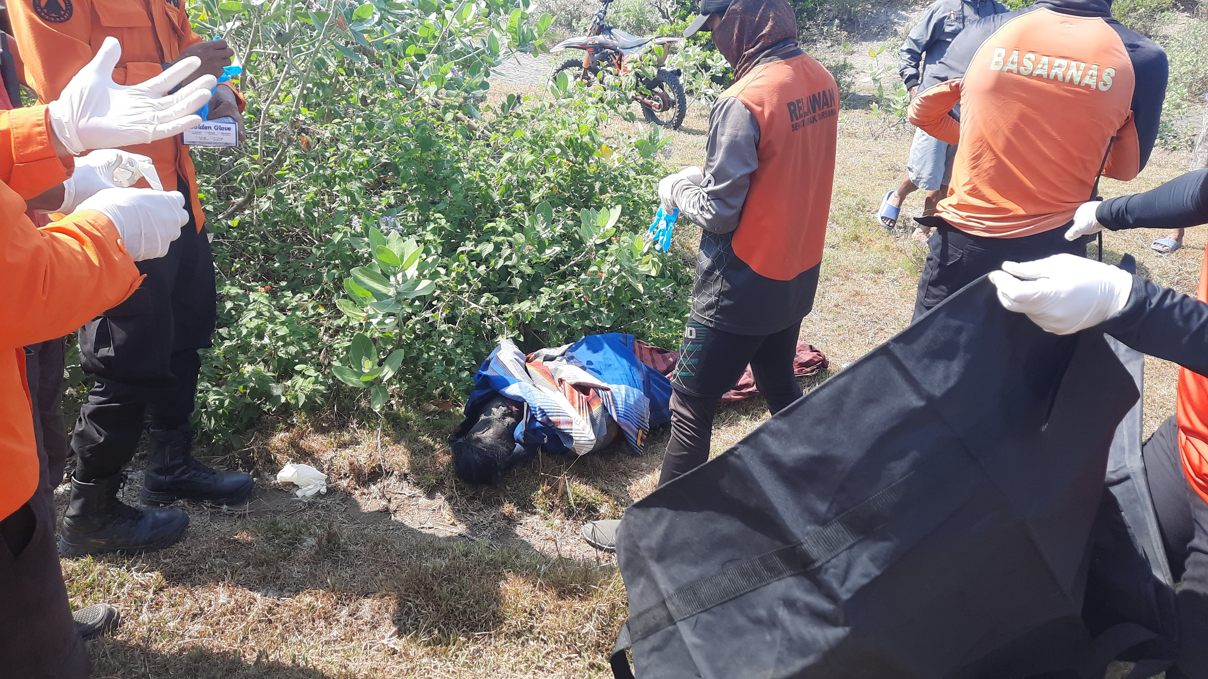
● Currently, the Sukabumi Regency BPBD Team and BASARNAS are evacuating isolated victims using a helicopter
● For SAR, the search for 2 other victims is still ongoing.
● The Joint SAR Team is still carrying out evacuation efforts.
● The weather is currently sunny
Source: Mr. Daeng, Sukabumi Regency BPBD Coordinator
Impact Statistic
3
Dead
2
Missing
0
Injured
100
Affected Person
71
Displaced
External Video
News
Human SADDD
- Dead 1
- Missing 2
- Injured -
- Affected Person 100
- Affected Family 20
- Internaly Displaced People 71
- Refugees -
- Evacuation Center (in Country) -
- Evacuation Center (out Of Country) -
House
- Affected Houses -
- Damage Partial -
- Totally Damage -
Infrastructure
- Bridges 1
- Number of Roads -
- Road Distance (km) -
Public
- Schools -
- Health -
- Government Office / Public Facilities -
- Settlements -
- Worship Places -
- Others -
General
Cost
- Local Currency -
- Cost of Damages -
- Cost of Damages (USD) -
- Cost of Assistance -
- Cost of Assistance (USD) -
Agricultural
- Rice Field -
- Other Crops -
- Fish Ponds -
- Cattle -
- Poultries -
- Livestock -
Relevant Disasters
The ASEAN Disaster Information Network (ADINet) is a repository of information concerning hazards and disasters that have happened in the region. The platform is open for public, which means that the public can submit information about any hazard and disaster to the AHA Centre. Thereafter, the AHA Centre will verify and validate any submitted information to ensure the accuracy of the data inputs. The AHA Centre can also add new information when relevant and as necessary. ADINet has been recording disaster information in the region since the AHA Centre was operational in 2012.

Supported by :