Indonesia, Flashflood in Bandung city
Mar 20, 2018 16:55
Sep 27, 2026 15:17
Location
Coordinate:
-6.926769, 107.655687
Administrative:
Jawa Barat, Indonesia
Affected Area:
Jawa Barat
Hazard
Main : Flood- Inundated Area (km) = fill value here
- Maximum Flood Depth (cm) = fill value here
Description
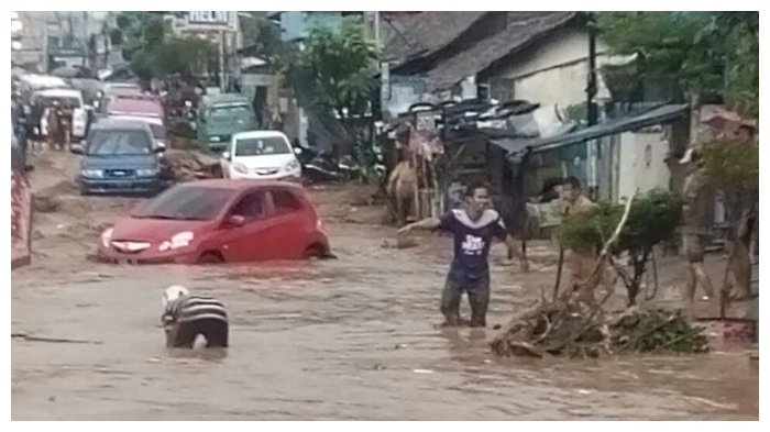
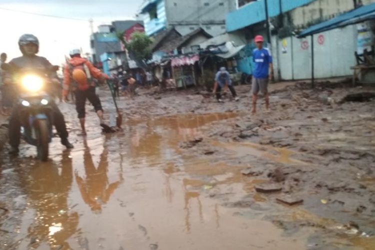
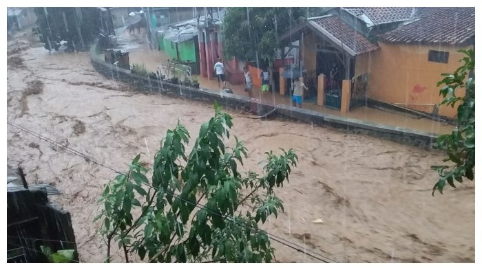
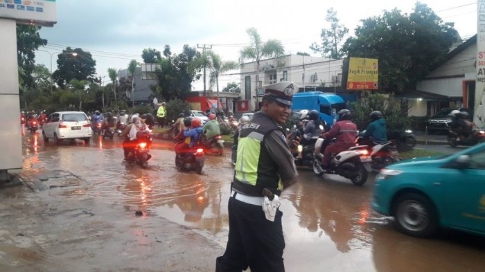
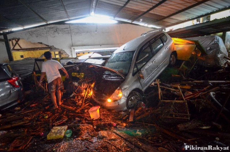
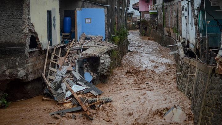
Disaster Management and Fire Service agency (DKPB) of Bandung city reported flashflood event on 20 March 2018, at around 1620 (UTC +8) due to intense rainfall in north-eastern part of the city. The intense rainfall caused Cipamokolan, Cileuweung, Cicabe and Cidurian rivers to be overflow. Flash flood was then occurred due to the collapsed of an embankment near Jatihandap and Cicaheum area. As a result, 50 to 150 cm of water were quickly inundated several areas of Cicaheum, Antapani, Arcamanik and Gedebage districts. Although flood water quickly discharged to water system, it left significant amount of mud (around 70 cm deep and 1 km length) and forced closure of roads in the areas, including national road of AH Nasution near Cicaheum area. DPKB reported zero casualties due to this incident. However, one person was injured, albeit being rescued. In addition, DPKB also reported that 17 cars and 2 motorcycle were damaged. Approximately 739 people have been directly affected in Cicaheum area. Hundreds of thousands residents in eastern part of the city were also affected. In addition, 25 houses in the embankment of river at Jatihandap district were washed away. Response 1) DPKB deployed 8 units of fire trucks and team for cleaning up mud and flood debris, as well as rescue. 2) Indonesian Police supports to solve heavy traffic jam caused due to the flooding. Note: Bandung city is one of the cities in Indonesia that does not have local disaster management agency (BPBD), instead they blend the function with fire service agency and forming DKPB.
Impact Statistic
0
Dead
0
Missing
1
Injured
739
Affected Person
0
Displaced

Human SADDD
- Dead -
- Missing -
- Injured 1
- Affected Person 739
- Affected Family 148
- Internaly Displaced People -
- Refugees 0
- Evacuation Center (in Country) -
- Evacuation Center (out Of Country) 0
House
- Affected Houses 25
- Damage Partial 0
- Totally Damage 25
Infrastructure
- Bridges 0
- Number of Roads 0
- Road Distance (km) 0.00
Public
- Schools -
- Health -
- Government Office / Public Facilities 0
- Settlements 0
- Worship Places 0
- Others 0
General
Cost
- Local Currency 0.00
- Cost of Damages 0.00
- Cost of Damages (USD) 700,000.00
- Cost of Assistance 0.00
- Cost of Assistance (USD) -
Agricultural
- Rice Field 0.00
- Other Crops 0.00
- Fish Ponds 0
- Cattle 0
- Poultries 0
- Livestock 0
Relevant Disasters
The ASEAN Disaster Information Network (ADINet) is a repository of information concerning hazards and disasters that have happened in the region. The platform is open for public, which means that the public can submit information about any hazard and disaster to the AHA Centre. Thereafter, the AHA Centre will verify and validate any submitted information to ensure the accuracy of the data inputs. The AHA Centre can also add new information when relevant and as necessary. ADINet has been recording disaster information in the region since the AHA Centre was operational in 2012.

Supported by :