Indonesia, Floods in Bogor (West Java)
Apr 02, 2024 21:35
Apr 03, 2024 09:20
Location
Coordinate:
-6.5599794428372, 106.7675307085
Administrative:
Jawa Barat, Indonesia
Affected Area:
Jawa Barat
Hazard
Main : Flood- Inundated Area (km) = -
- Maximum Flood Depth (cm) = -
Description
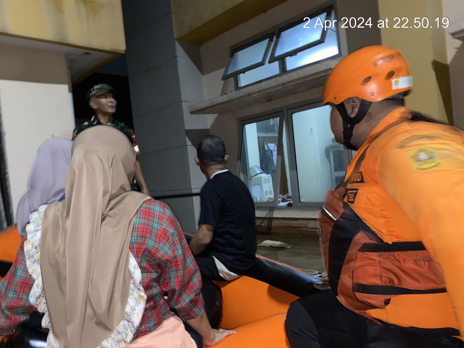
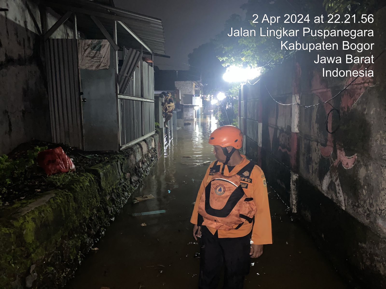
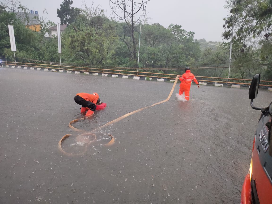
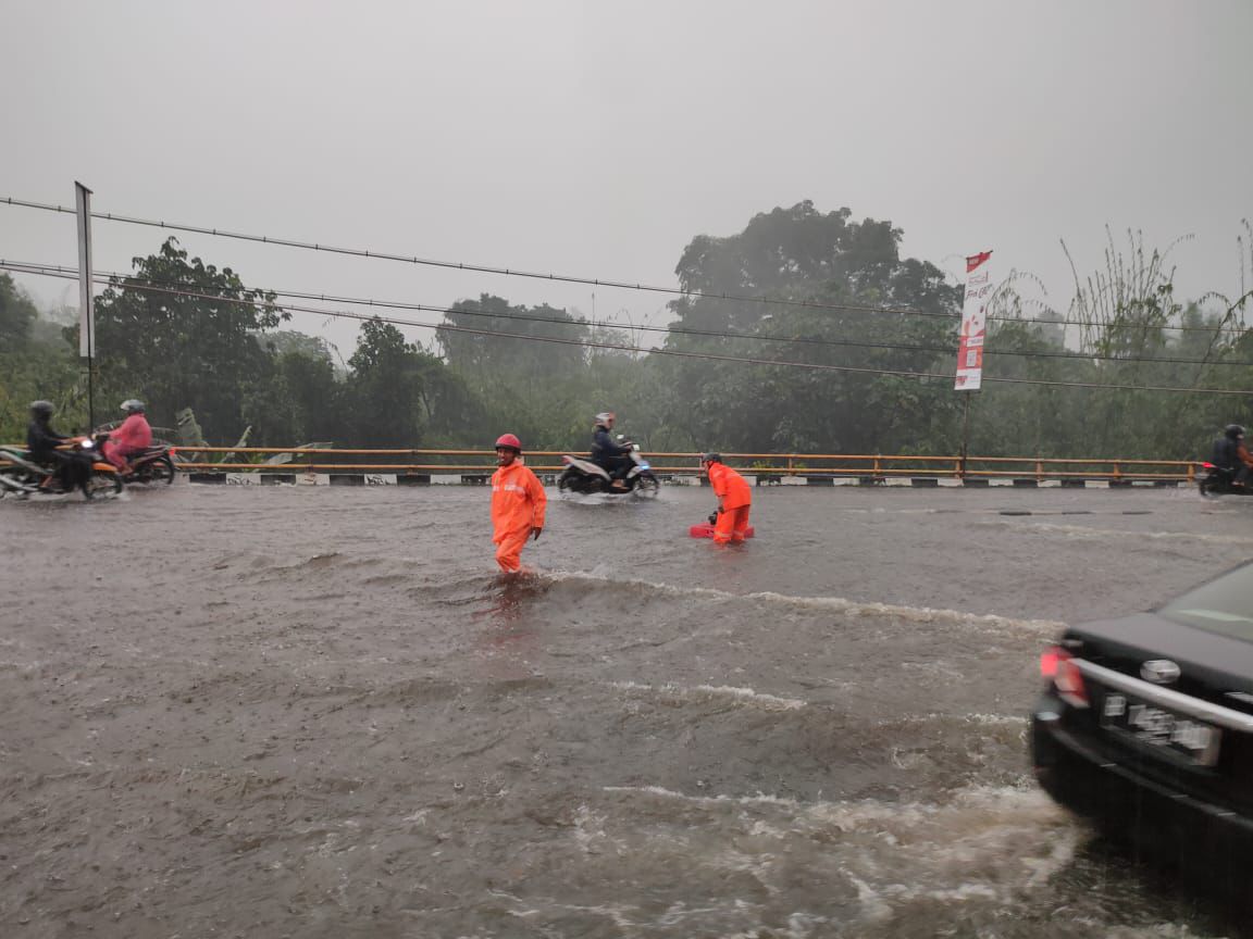
➢Chronology Triggered by high intensity rain and blockage of the Cibeubeur River, resulting in flooding in residential areas with a height of -+150 cm
➢Location
●Citeureup Regency - Puspanegara Village
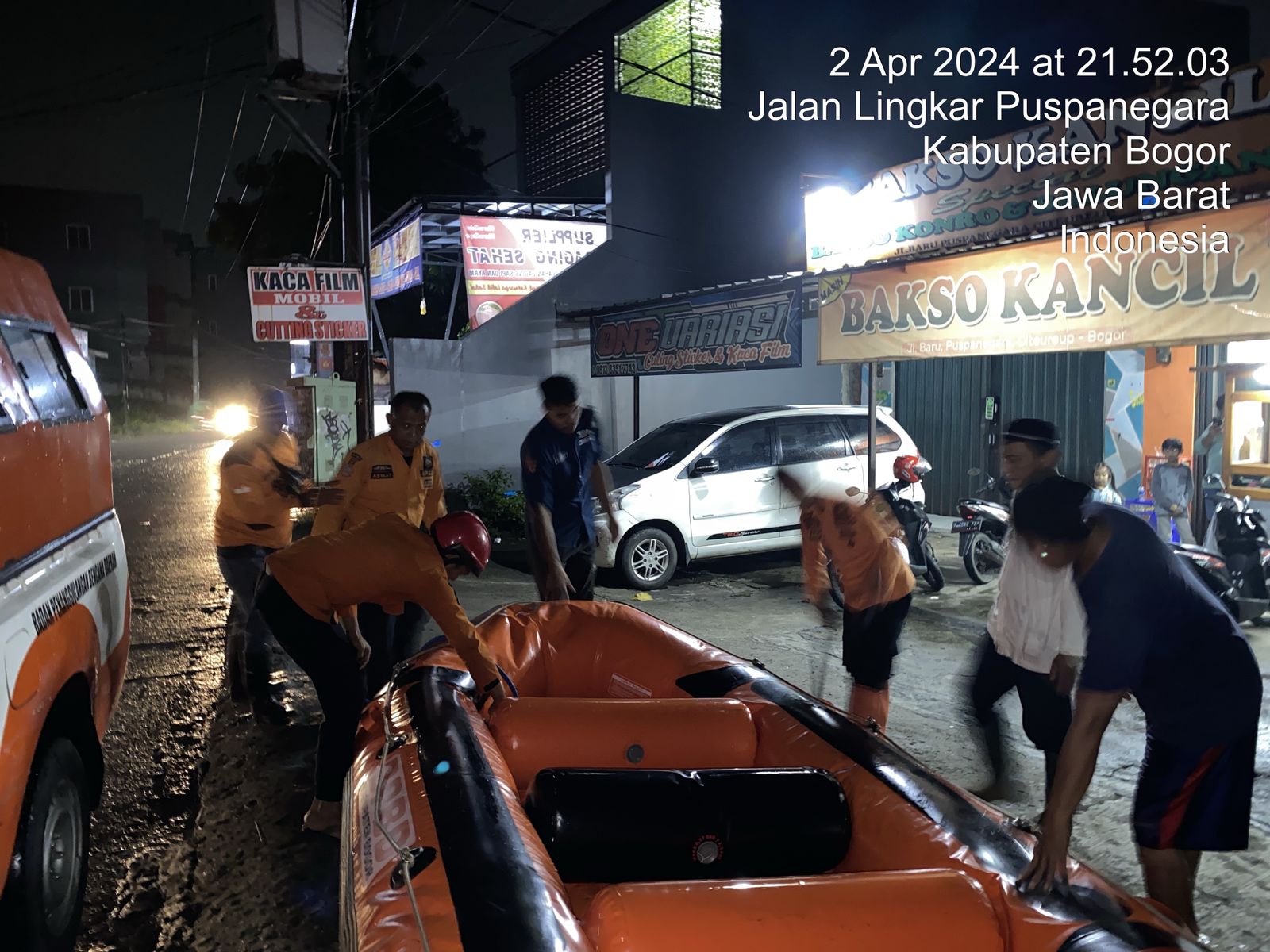
➢Effort:
●Coordinate with local officials
●Take action in accordance with disaster standard operating procedures (SOP).
●Carry out rapid assessment and analysis at disaster locations
●Provide Disaster Education and Advice
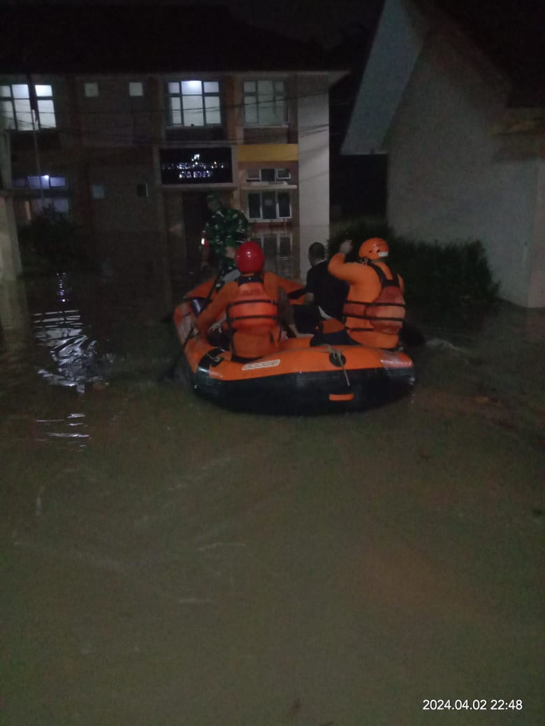
●Evacuate residents affected by flooding to safe points
➢Current Condition:
●Currently the water has not receded, it is estimated that the flood will recede within -+ 3 hours
➢ Source: Dejan Habiburrahman, Bogor Regency Regional Disaster Management Agency
Impact Statistic
0
Dead
0
Missing
0
Injured
157
Affected Person
0
Displaced
External Video
News
Human SADDD
- Dead -
- Missing -
- Injured -
- Affected Person 157
- Affected Family 50
- Internaly Displaced People -
- Refugees -
- Evacuation Center (in Country) -
- Evacuation Center (out Of Country) -
House
- Affected Houses 50
- Damage Partial -
- Totally Damage -
Infrastructure
- Bridges -
- Number of Roads -
- Road Distance (km) -
Public
- Schools -
- Health -
- Government Office / Public Facilities -
- Settlements -
- Worship Places 2
- Others -
General
Cost
- Local Currency -
- Cost of Damages -
- Cost of Damages (USD) -
- Cost of Assistance -
- Cost of Assistance (USD) -
Agricultural
- Rice Field -
- Other Crops -
- Fish Ponds -
- Cattle -
- Poultries -
- Livestock -
Relevant Disasters
The ASEAN Disaster Information Network (ADINet) is a repository of information concerning hazards and disasters that have happened in the region. The platform is open for public, which means that the public can submit information about any hazard and disaster to the AHA Centre. Thereafter, the AHA Centre will verify and validate any submitted information to ensure the accuracy of the data inputs. The AHA Centre can also add new information when relevant and as necessary. ADINet has been recording disaster information in the region since the AHA Centre was operational in 2012.

Supported by :