Indonesia, Floods and Landslides in Sorong City (Southwest Papua)
Aug 26, 2024 17:00
Aug 31, 2024 09:02
Location
Coordinate:
-0.87047634168545, 131.33783851202
Administrative:
Papua Barat, Indonesia
Affected Area:
Papua Barat
Hazard
Main : Flood- Inundated Area (km) = -
- Maximum Flood Depth (cm) = -
Description
➢ Chronological:
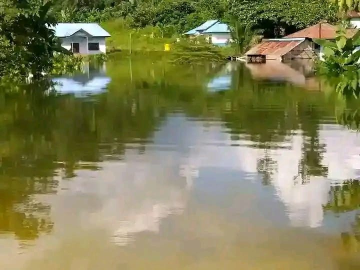
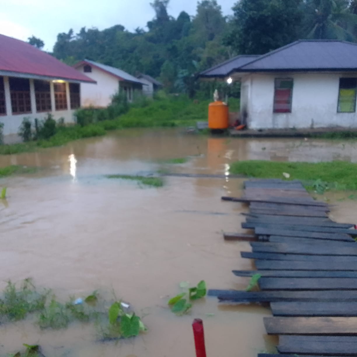
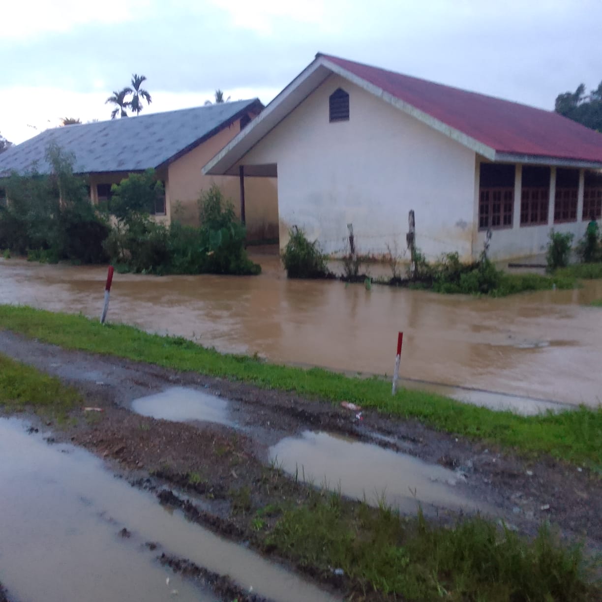
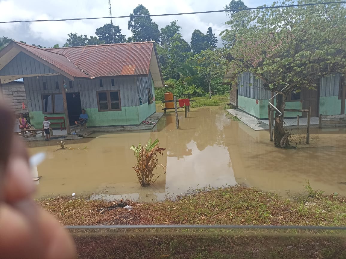
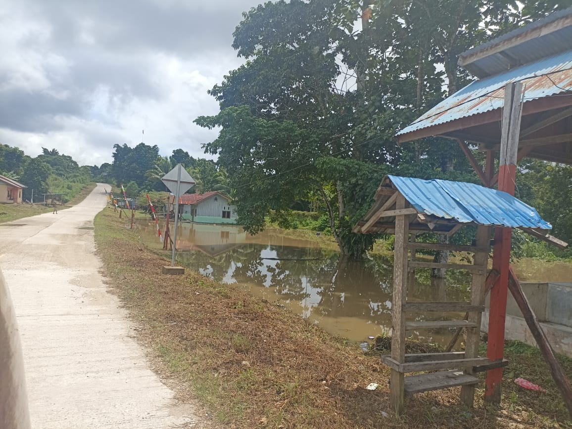
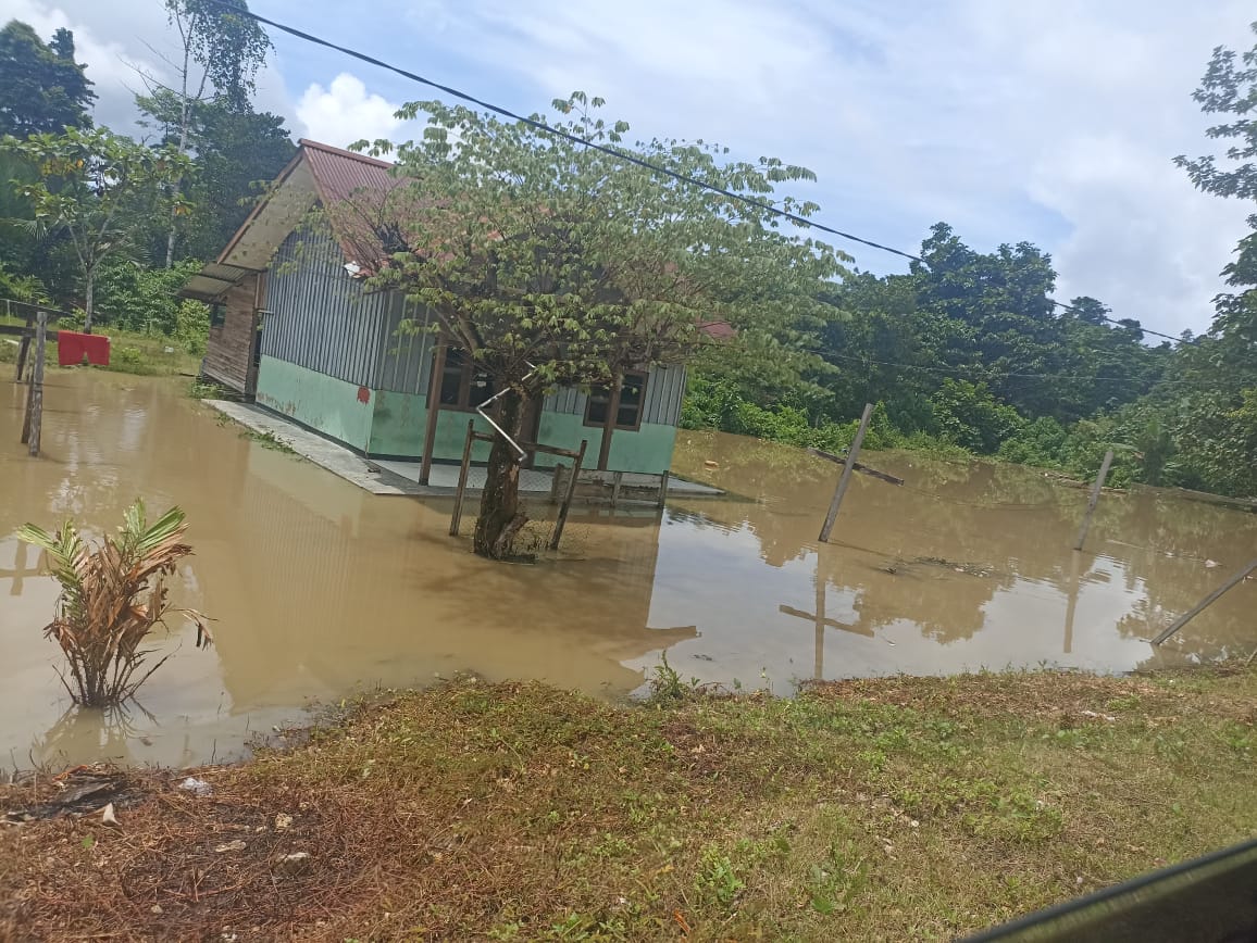
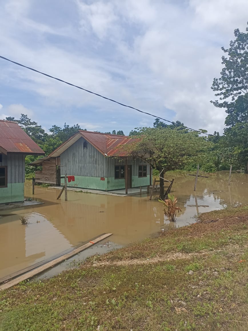
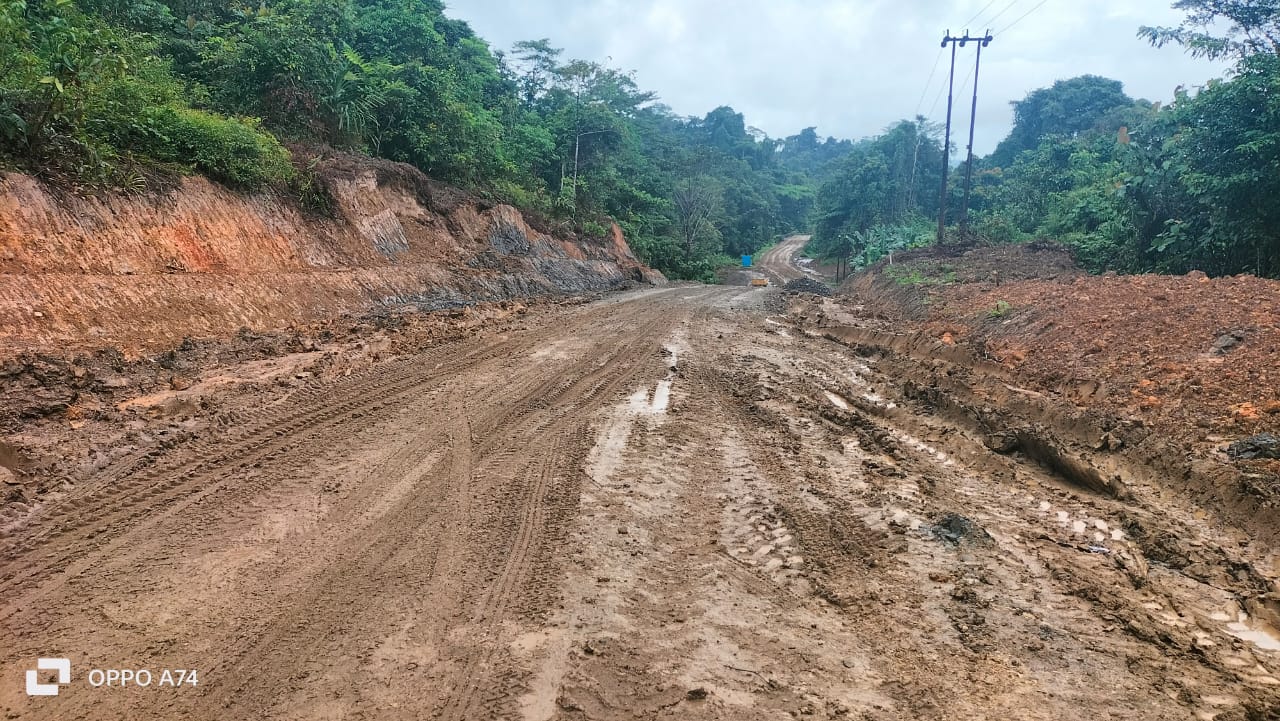
Monday, August 26, 2024 at 17.00 CET floods and landslides were triggered by rain with high intensity and high sea levels
➢ Location:
● West Sorong District
- Kelurahan Puncak Cendrawasih
- Pal Puting Village
● City Sorong District
- Klakubik Village
- Kelurahan Kampung Baru
● Sorong District
- Klademak Village
● Malaimsimsa District
- Klabulu Village
● North Sorong District
- Kelurahan Malanu
- Matalamagi Village
● Sorong Manoi District
- Kelurahan Malabutor
● Islands Sorong District
- East Doom Village
➢ Life:
● 70 families and 295 affected people
➢ MATERIAL LOSS: STILL DATA
➢ Efforts:
● Sorong City BPBD held a coordination meeting with Acting. Mayor, related SKPD
● BPBD and Sorong City Social Service provided assistance to residents who experienced the impact of the disaster
● Sorong City BPBD prepares an emergency response statement signed by Acting. Mayor of Sorong who is valid 7 (seven) days
➢ Latest conditions:
● Until now some flood-prone areas are still inundation with water levels between 15-20 cm
Source: Ibu Herlina, BPBD Sorong City
Impact Statistic
0
Dead
0
Missing
0
Injured
295
Affected Person
0
Displaced



External Video
News
Human SADDD
- Dead -
- Missing -
- Injured -
- Affected Person 295
- Affected Family 70
- Internaly Displaced People -
- Refugees -
- Evacuation Center (in Country) -
- Evacuation Center (out Of Country) -
House
- Affected Houses -
- Damage Partial -
- Totally Damage -
Infrastructure
- Bridges -
- Number of Roads -
- Road Distance (km) -
Public
- Schools -
- Health -
- Government Office / Public Facilities -
- Settlements -
- Worship Places -
- Others -
General
Cost
- Local Currency -
- Cost of Damages -
- Cost of Damages (USD) -
- Cost of Assistance -
- Cost of Assistance (USD) -
Agricultural
- Rice Field -
- Other Crops -
- Fish Ponds -
- Cattle -
- Poultries -
- Livestock -
Relevant Disasters
The ASEAN Disaster Information Network (ADINet) is a repository of information concerning hazards and disasters that have happened in the region. The platform is open for public, which means that the public can submit information about any hazard and disaster to the AHA Centre. Thereafter, the AHA Centre will verify and validate any submitted information to ensure the accuracy of the data inputs. The AHA Centre can also add new information when relevant and as necessary. ADINet has been recording disaster information in the region since the AHA Centre was operational in 2012.

Supported by :