Indonesia, Flooding in Penajam Paser Utara (East Kalimantan)
Aug 09, 2024 00:15
Aug 28, 2024 07:31
Location
Coordinate:
-1.1574253219233, 116.59776096936
Administrative:
Kalimantan Timur, Indonesia
Affected Area:
Kalimantan Timur
Hazard
Main : Flood- Inundated Area (km) = -
- Maximum Flood Depth (cm) = -
Description
➢ Chronology:
● BMKG Early Warning Friday, August 9, 2024 from 01.15 WITA and 04.50 WITA that there will be moderate to heavy rain which can be accompanied by lightning and strong winds in the Penajam District Area;
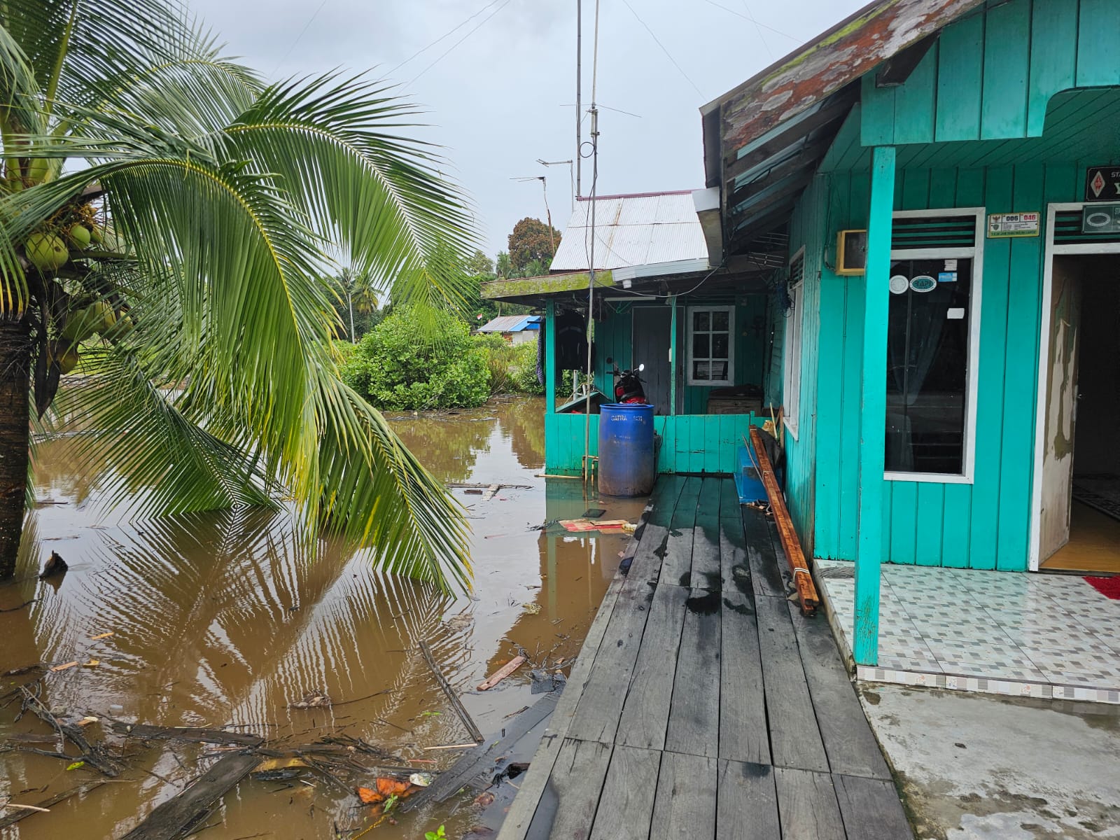
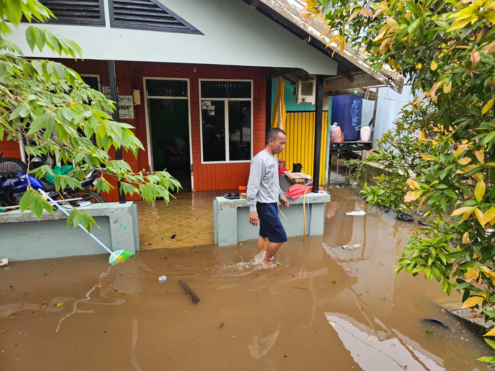
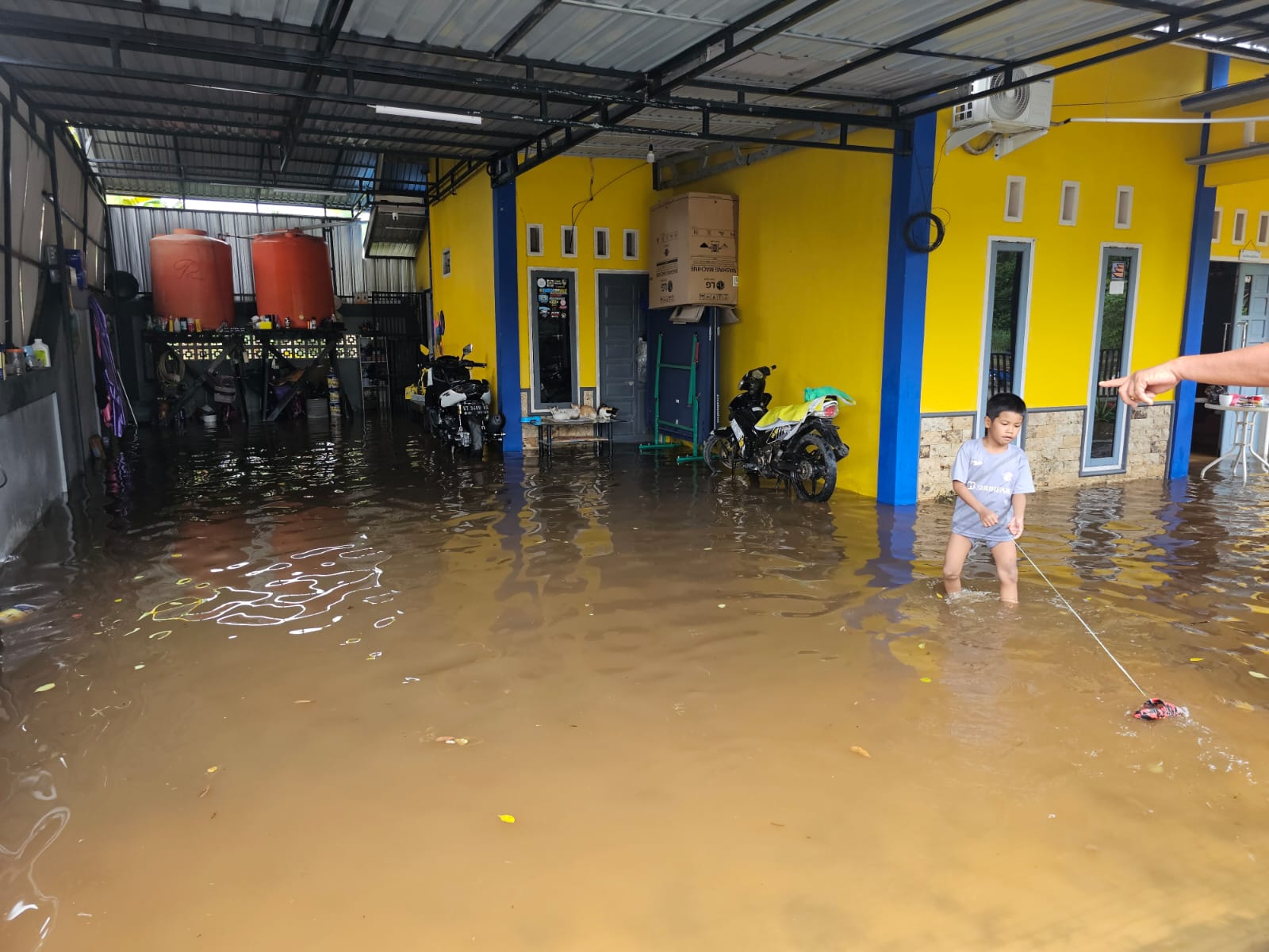
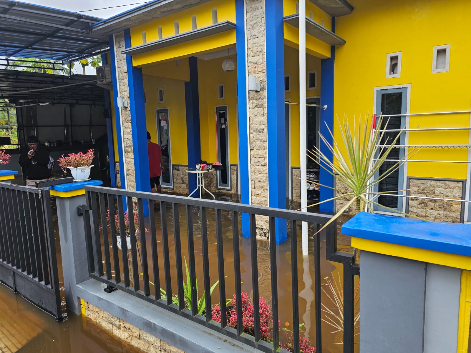
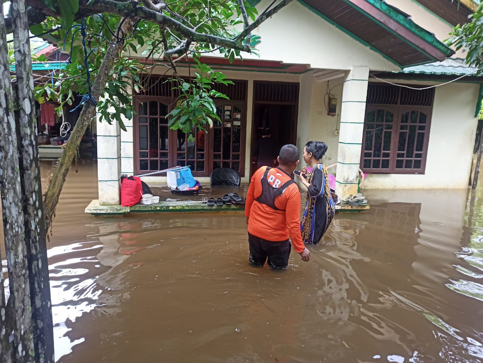
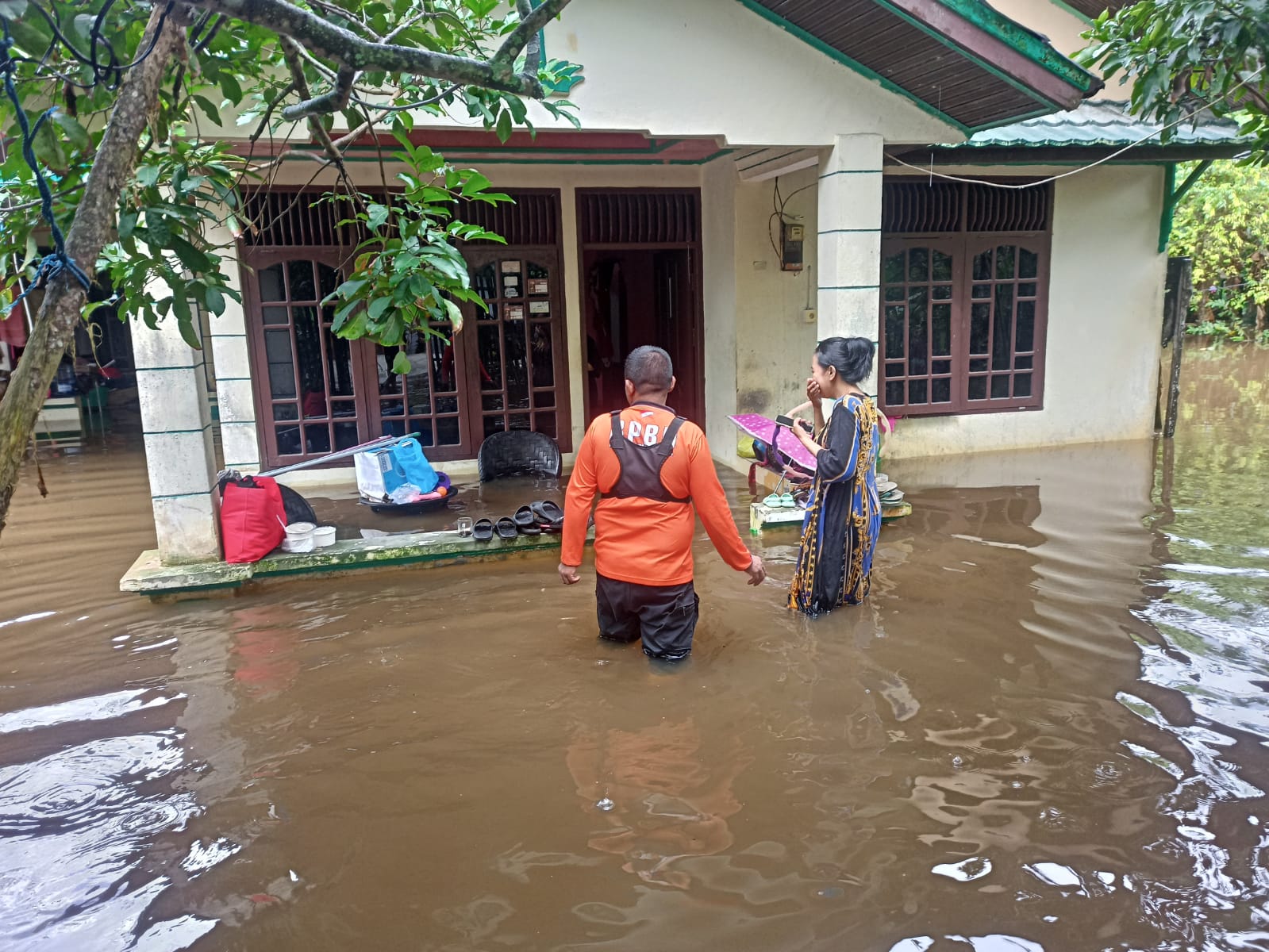
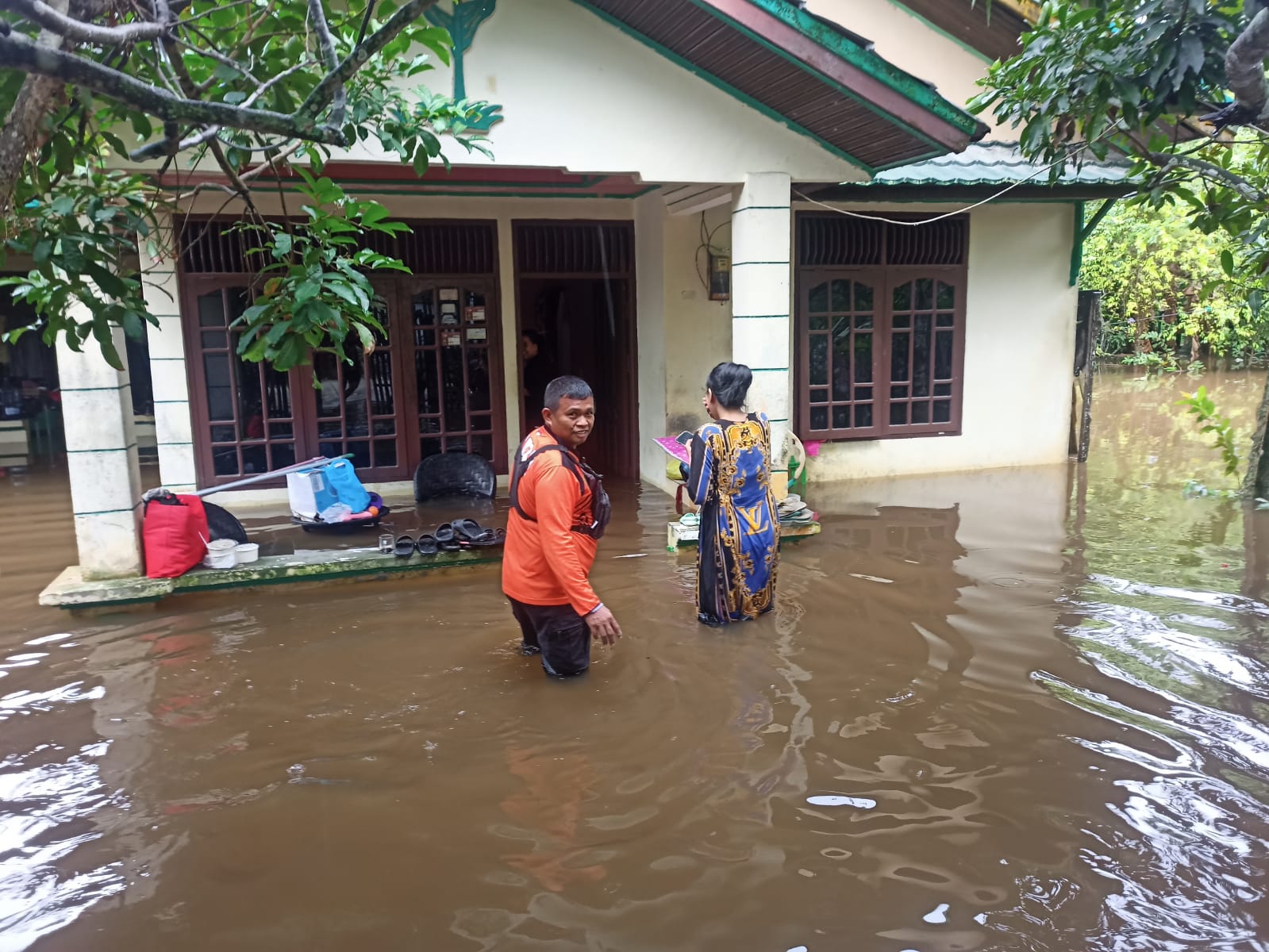
● Rain with quite high intensity occurred at -/+ 02.00 WITA to 07.30 WITA in the Penajam Paser Utara Regency area causing overflowing river/drainage water and having an impact on rising water levels in residential areas in low areas.
➢ Location:
● Penajam District
- Gunung Seteleng Village
- Penajam Village
➢ Casualties:
● 595 families / 2,451 people affected, with details:
- Penajam Village: 506 families / 2,178 people
- Gunung Seteleng Village: 89 families / 273 people (data collection)
➢ Material Losses:
● 595 houses affected, with details:
- Penajam Village: 506 houses
- Gunung Seteleng Village: 89 houses
➢ Efforts:
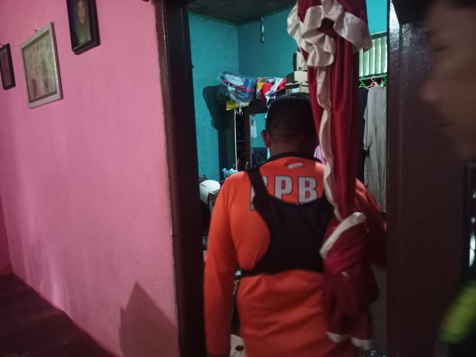
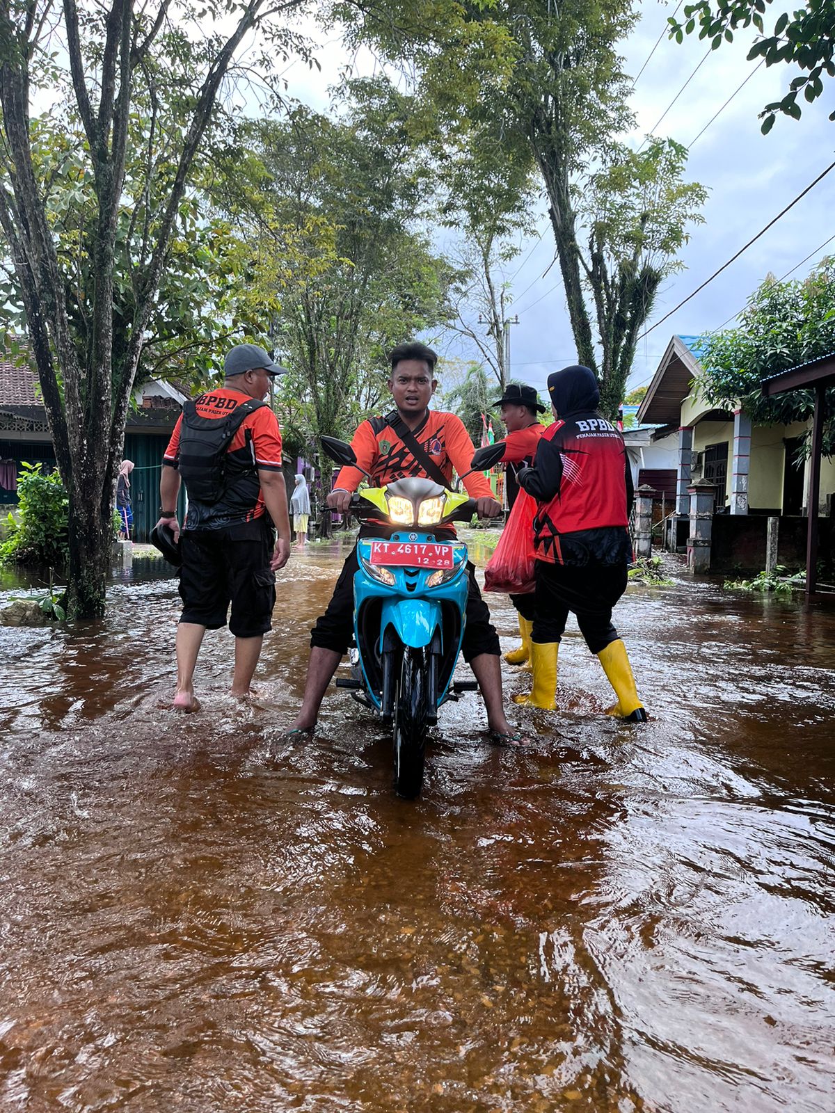
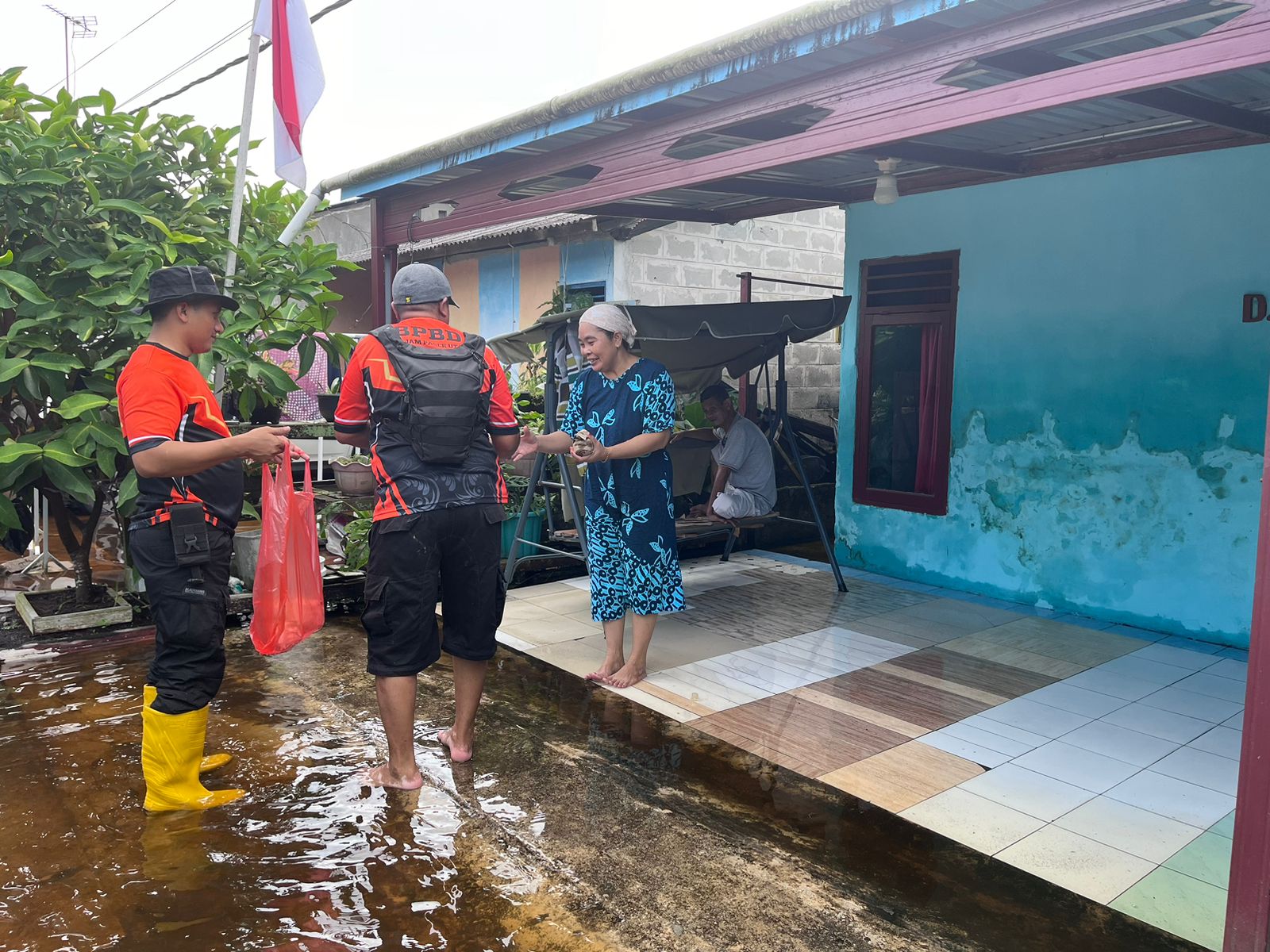
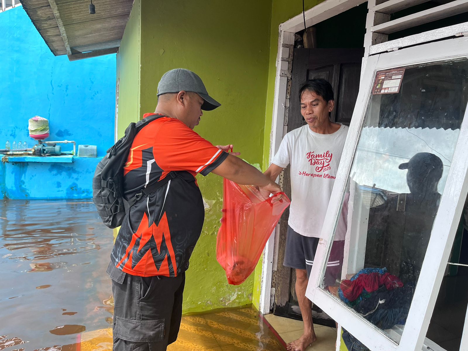
● The PPU BPBD Team immediately moved to the location and coordinated with all related elements
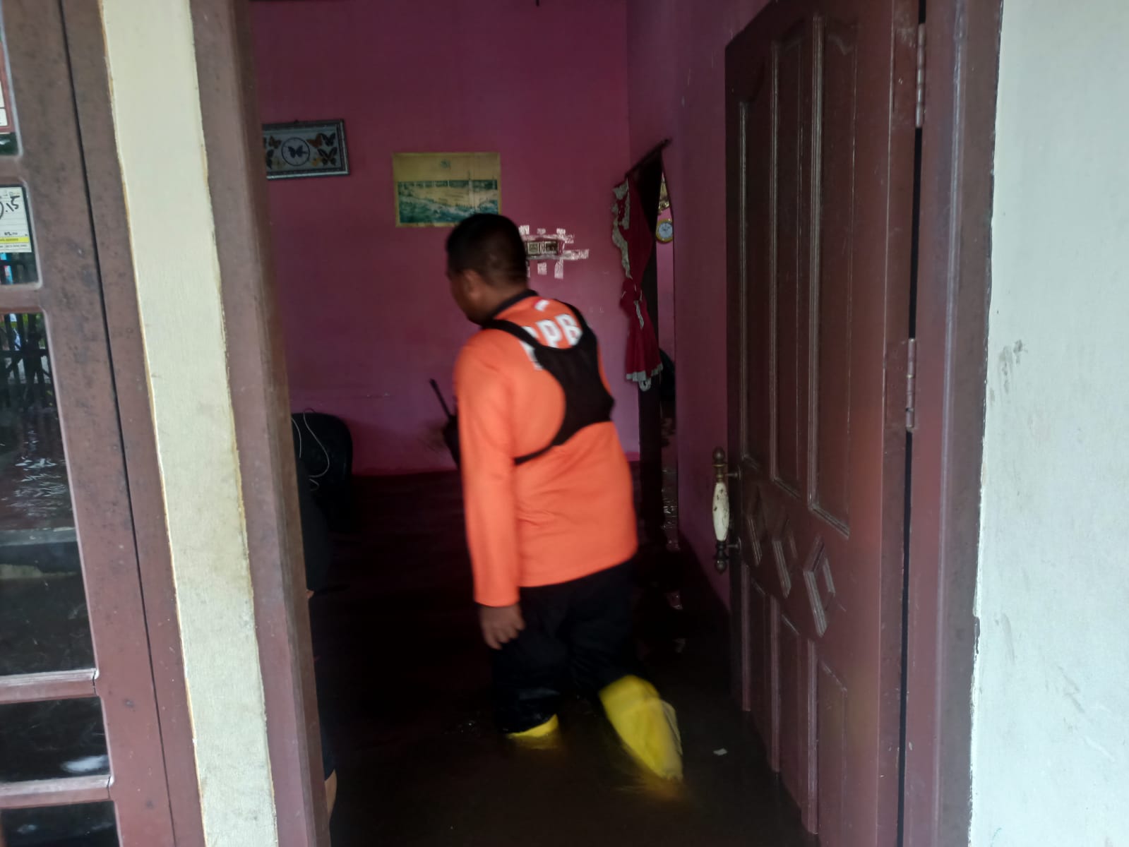
● The team conducted data collection and identification in the affected area
● Evacuated people, valuables and vehicles belonging to residents
● A joint post was established at Gunung Field Seteleng
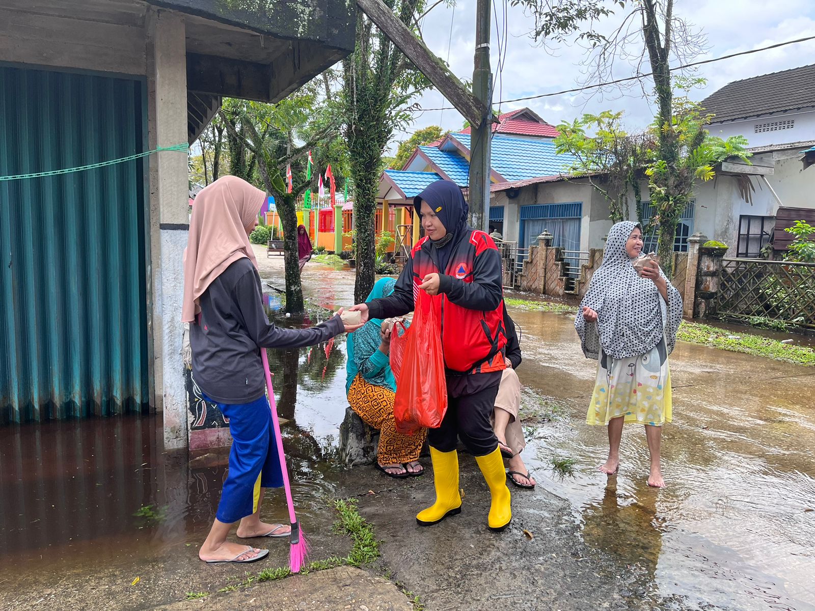
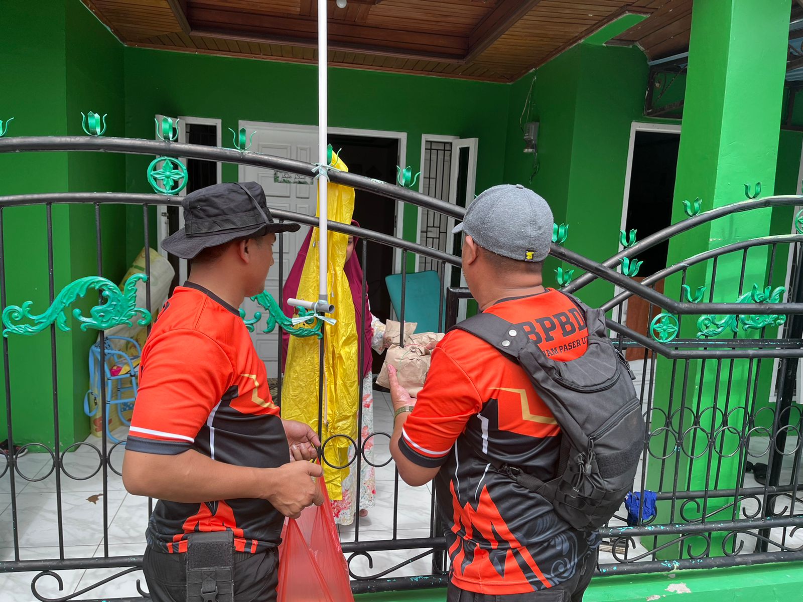
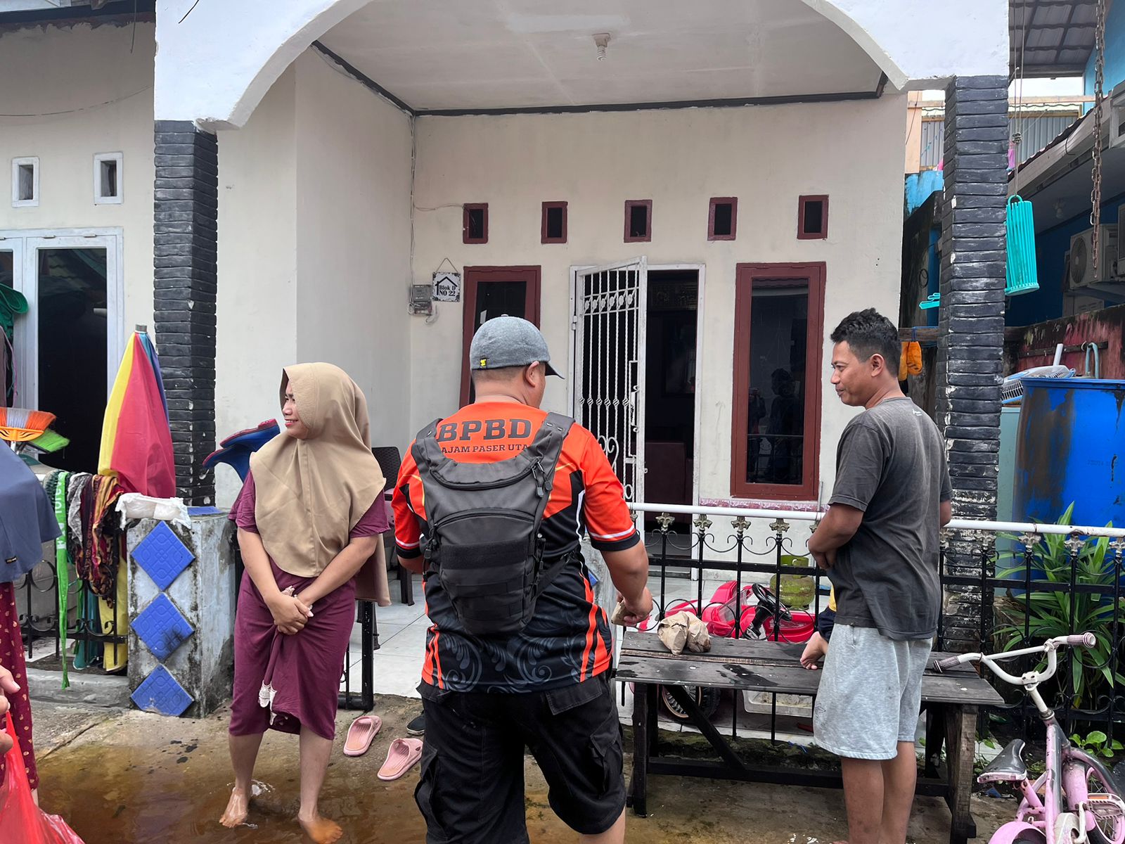
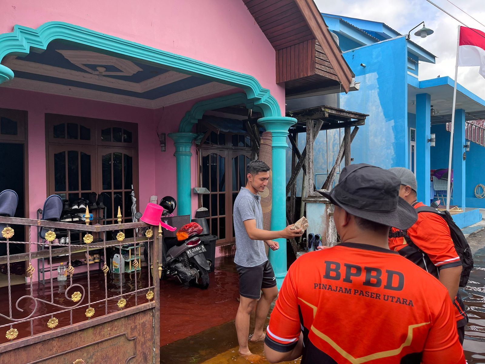
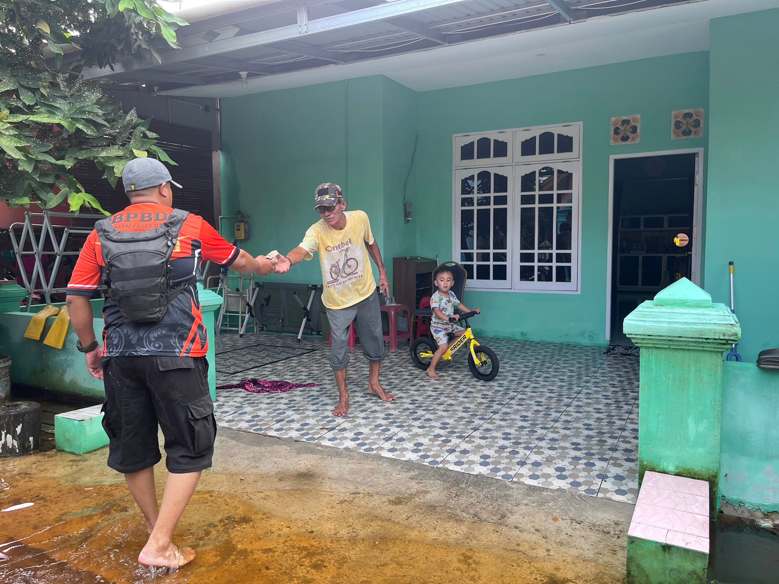
● Fulfillment of basic lunch needs for affected victims from BPBD PPU and Dinsos
● Sucking water from houses of residents affected by flooding in
Perum Penajam Indah Lestari.
Personnel:
● BPBD PPU
● Polres PPU
● Babinsa
● Bhabinkamtibmas
● Dinsos
● Penajam Sub-district Head
● Penajam Village Head
● Satpol PP
● PMI
● Head of RT in Affected Area
● Residents
Equipment:
1. BPBD PPU: 3 Ops Cars, 2 Trail Motorcycles, 1 Kajama Truck & PB Equipment
2. Satpol PP: 1 Ops Car
3. PMI: 1 Ambulance.
➢ Urgent Needs:
● The need to make a ditch along the two-km route. 01
● The need to make a water flow in RT. 06 Gunung Seteleng Village
● The need to improve the drainage of each affected area by working together.
➢ Current Condition:
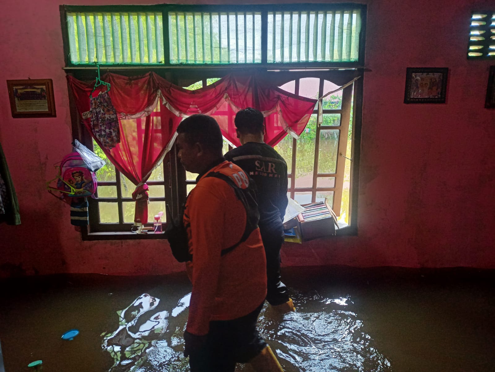
● Overall, the current condition in the affected area is that some of the water has receded and in some areas it is still inundated in the yard and inside the house
● Penajam Village
- Water level in the yard: ± 20 cm - 40 cm
- Water level inside the house: ± 5 cm - 30 cm
● Gunung Seteleng Village
- Water level in the yard: ± 10 cm - 40 cm
- Water level inside the house: ± 5 cm - 30 cm
Source: Call Center BPBD Penajam Paser Utara
Impact Statistic
0
Dead
0
Missing
0
Injured
2.5K
Affected Person
0
Displaced


External Video
News
Human SADDD
- Dead -
- Missing -
- Injured -
- Affected Person 2,460
- Affected Family 598
- Internaly Displaced People -
- Refugees -
- Evacuation Center (in Country) -
- Evacuation Center (out Of Country) -
House
- Affected Houses 600
- Damage Partial -
- Totally Damage -
Infrastructure
- Bridges -
- Number of Roads -
- Road Distance (km) -
Public
- Schools -
- Health -
- Government Office / Public Facilities -
- Settlements -
- Worship Places -
- Others -
General
Cost
- Local Currency -
- Cost of Damages -
- Cost of Damages (USD) -
- Cost of Assistance -
- Cost of Assistance (USD) -
Agricultural
- Rice Field -
- Other Crops -
- Fish Ponds -
- Cattle -
- Poultries -
- Livestock -
Relevant Disasters
The ASEAN Disaster Information Network (ADINet) is a repository of information concerning hazards and disasters that have happened in the region. The platform is open for public, which means that the public can submit information about any hazard and disaster to the AHA Centre. Thereafter, the AHA Centre will verify and validate any submitted information to ensure the accuracy of the data inputs. The AHA Centre can also add new information when relevant and as necessary. ADINet has been recording disaster information in the region since the AHA Centre was operational in 2012.

Supported by :