Indonesia, Flooding in Ogan Komering Ulu Selatan (South Sumatra)
May 14, 2024 23:43
May 16, 2024 22:45
Location
Coordinate:
-4.6009977795953, 103.92115849385
Administrative:
Sumatera Selatan, Indonesia
Affected Area:
Sumatera Selatan
Hazard
Main : Flood- Inundated Area (km) = -
- Maximum Flood Depth (cm) = -
Description
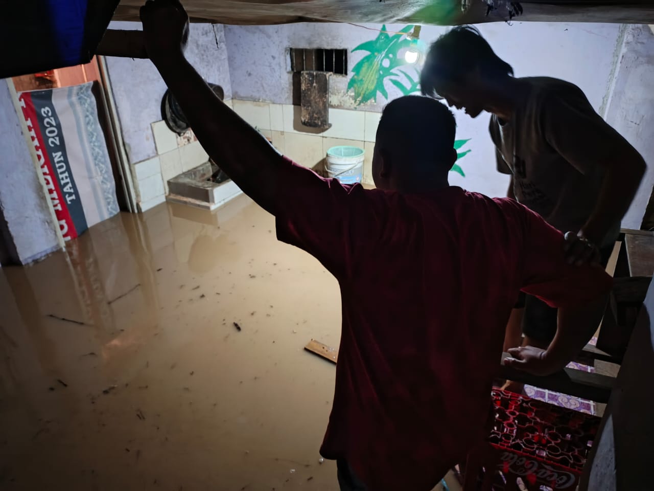
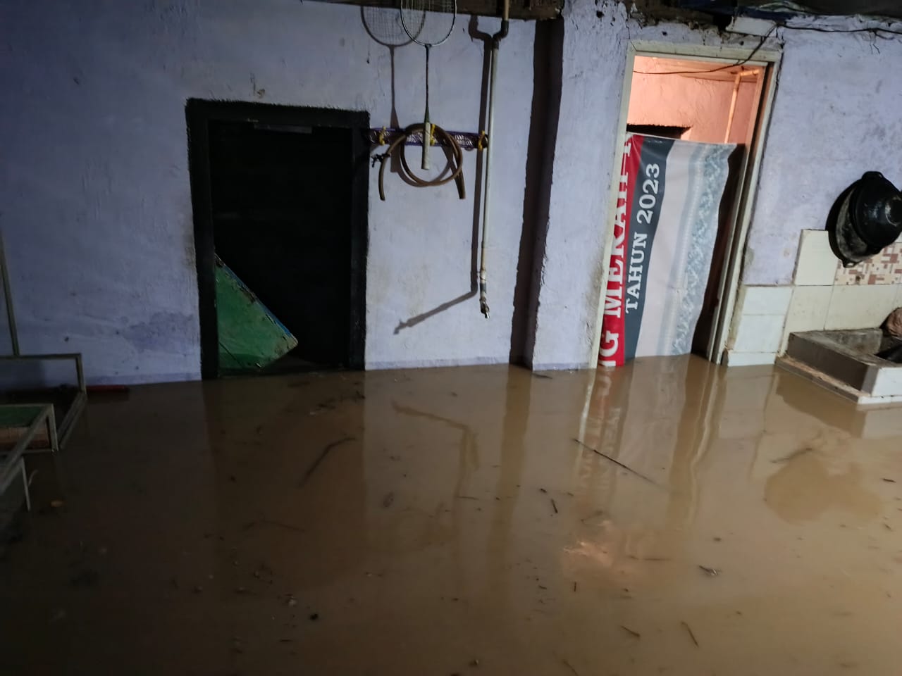
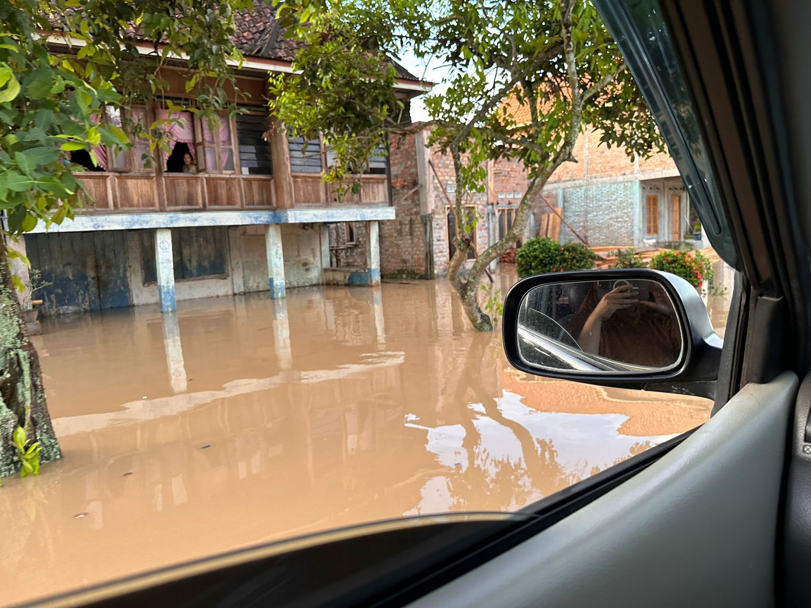
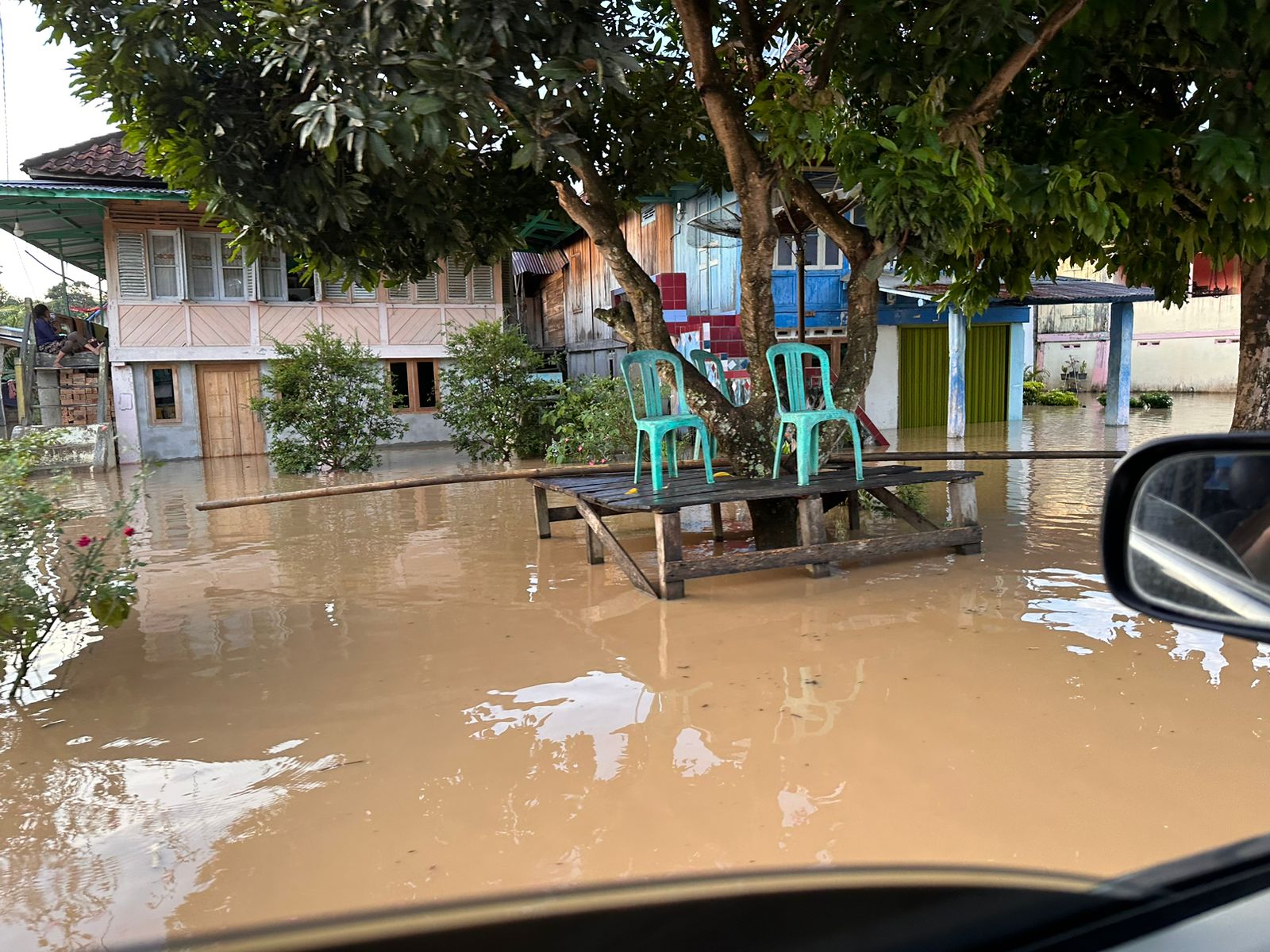
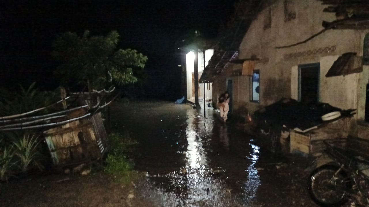
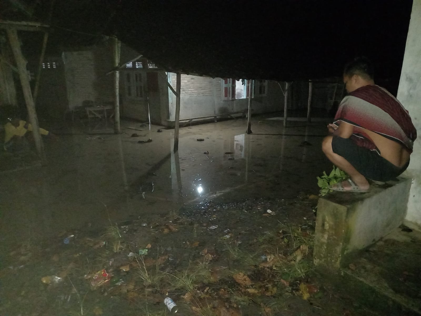
➢Chronology: Triggered by heavy rain in several sub-districts, causing the Saka River & Selabung River to overflow in several affected villages and sub-districts
➢Location:
Kisam Ilir District
Save Easy Village, Buay Sandang Aji District
Tanjung Raya Village
Negri Batin Village
Madura Village, Muaradua District
Trade Saving Village
Rengas Village
Bumi Agung Village
Market Village
Kisau Village
➢Efforts:
The South OKU Regency Regional Disaster Management Agency coordinates with the local sub-district/village to carry out data collection
The South OKU Regency Regional Disaster Management Agency urges residents living on the banks of the Saka Selabung and Komering rivers to be alert for overflows.
The South OKU Regency Regional Disaster Management Agency is assisting residents in evacuating goods
➢Current Conditions: Floods are gradually receding
➢Source: Pusdalops - PB Regional Disaster Management Agency, South Ogan Komering Ulu Regency
Send feedback
Side panels
History
Saved
5,000 character limit. Use the arrows to translate more.
Impact Statistic
0
Dead
0
Missing
0
Injured
1.1K
Affected Person
5
Displaced
External Video
News
Human SADDD
- Dead -
- Missing -
- Injured -
- Affected Person 1,051
- Affected Family 442
- Internaly Displaced People 5
- Refugees -
- Evacuation Center (in Country) -
- Evacuation Center (out Of Country) -
House
- Affected Houses 238
- Damage Partial 5
- Totally Damage 1
Infrastructure
- Bridges 2
- Number of Roads -
- Road Distance (km) -
Public
- Schools 1
- Health -
- Government Office / Public Facilities -
- Settlements -
- Worship Places 2
- Others -
General
Cost
- Local Currency -
- Cost of Damages -
- Cost of Damages (USD) -
- Cost of Assistance -
- Cost of Assistance (USD) -
Agricultural
- Rice Field 7.00
- Other Crops 40.00
- Fish Ponds -
- Cattle -
- Poultries -
- Livestock -
Relevant Disasters
The ASEAN Disaster Information Network (ADINet) is a repository of information concerning hazards and disasters that have happened in the region. The platform is open for public, which means that the public can submit information about any hazard and disaster to the AHA Centre. Thereafter, the AHA Centre will verify and validate any submitted information to ensure the accuracy of the data inputs. The AHA Centre can also add new information when relevant and as necessary. ADINet has been recording disaster information in the region since the AHA Centre was operational in 2012.

Supported by :