Indonesia, Flooding in Nunukan (North Kalimantan)
Jul 13, 2024 09:18
Aug 02, 2024 21:12
Location
Coordinate:
3.9933124000933, 116.66860776527
Administrative:
Kalimantan Timur, Indonesia
Affected Area:
Kalimantan Timur
Hazard
Main : Flood- Inundated Area (km) = -
- Maximum Flood Depth (cm) = -
Description
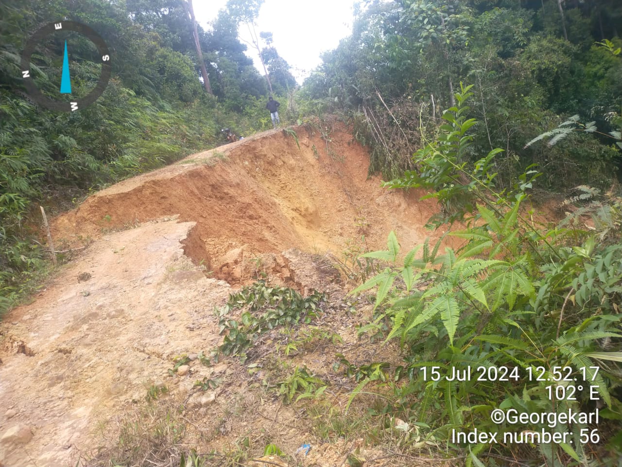
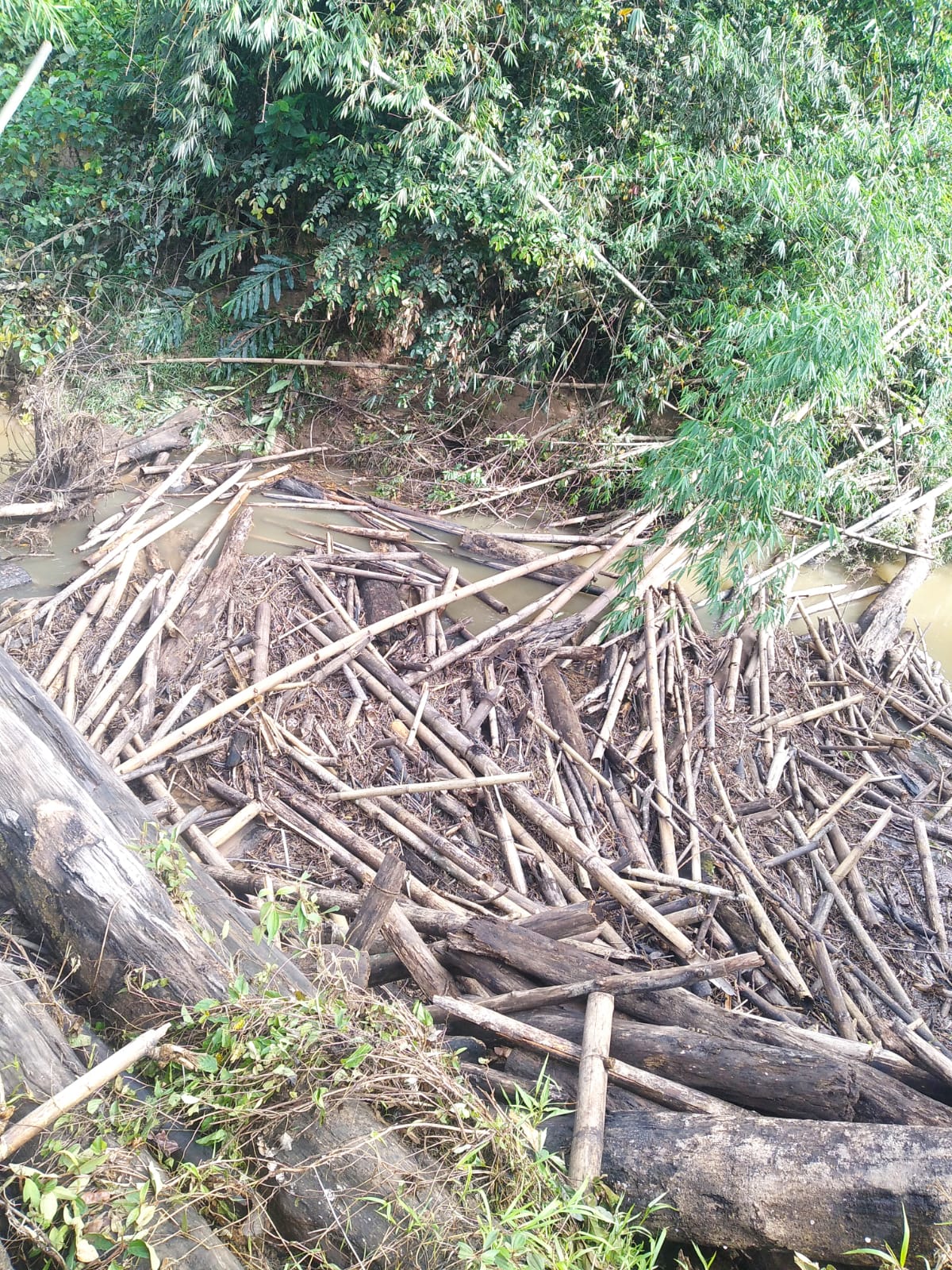
➢ Chronology: Triggered by the high intensity of rainfall that occurred on Saturday, July 13, 2024 at 09.18 WIB
➢ Location:
● Krayan Selatan District
- Pa Tera Village
- Pa Sing Village
- Dalan Village
- Long Budung Village
- Long Pupung Village
- Pa Urang Village
➢ Casualties:
● 696 people / 238 families affected
➢ Material Losses:
● ± 238 houses affected
● 15.25 hectares of rice fields
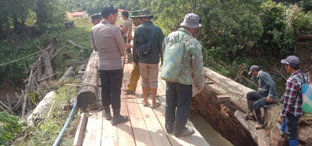
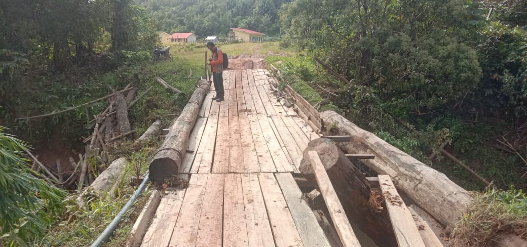
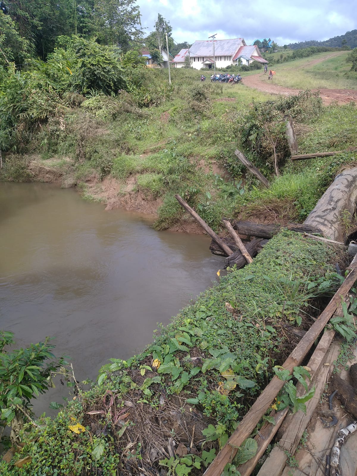
● 1 bridge
● clean water network
➢ Efforts:
● Identifying the impact on flood areas.
● BPBD, TNI, Polri and the District Government held a meeting to discuss steps or efforts to implement initial handling and future mitigation steps.
● The Sub-district, Village Apparatus, TNI, POLRI, BPBD and the community
conducted a disaster alert roll call.
● Conducted socialization to form a Disaster Resilient Village, disaster management volunteers to all Village Heads throughout Krayan Selatan Sub-district.
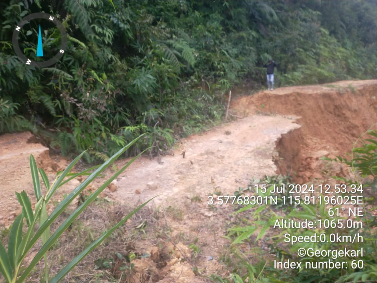
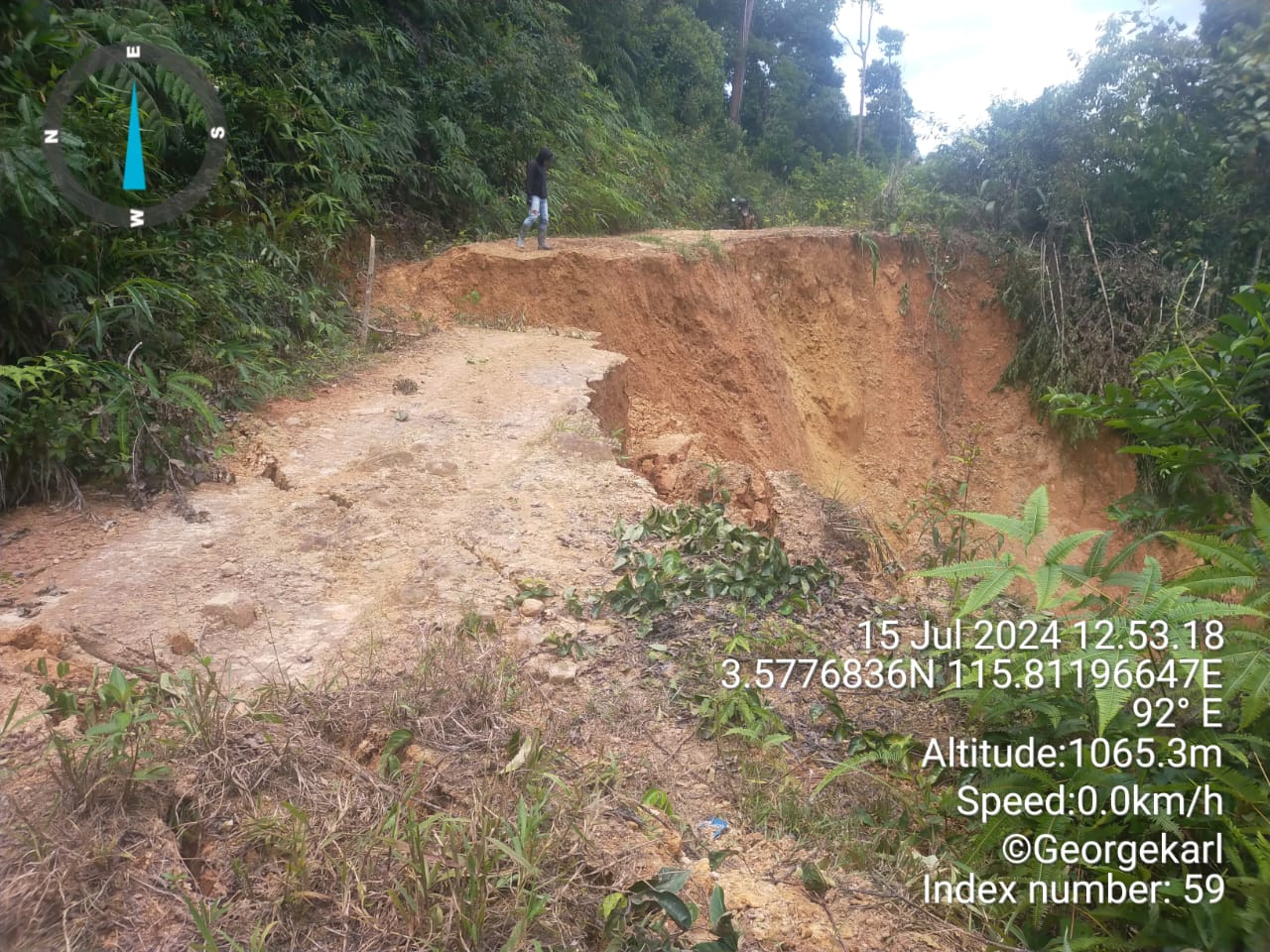
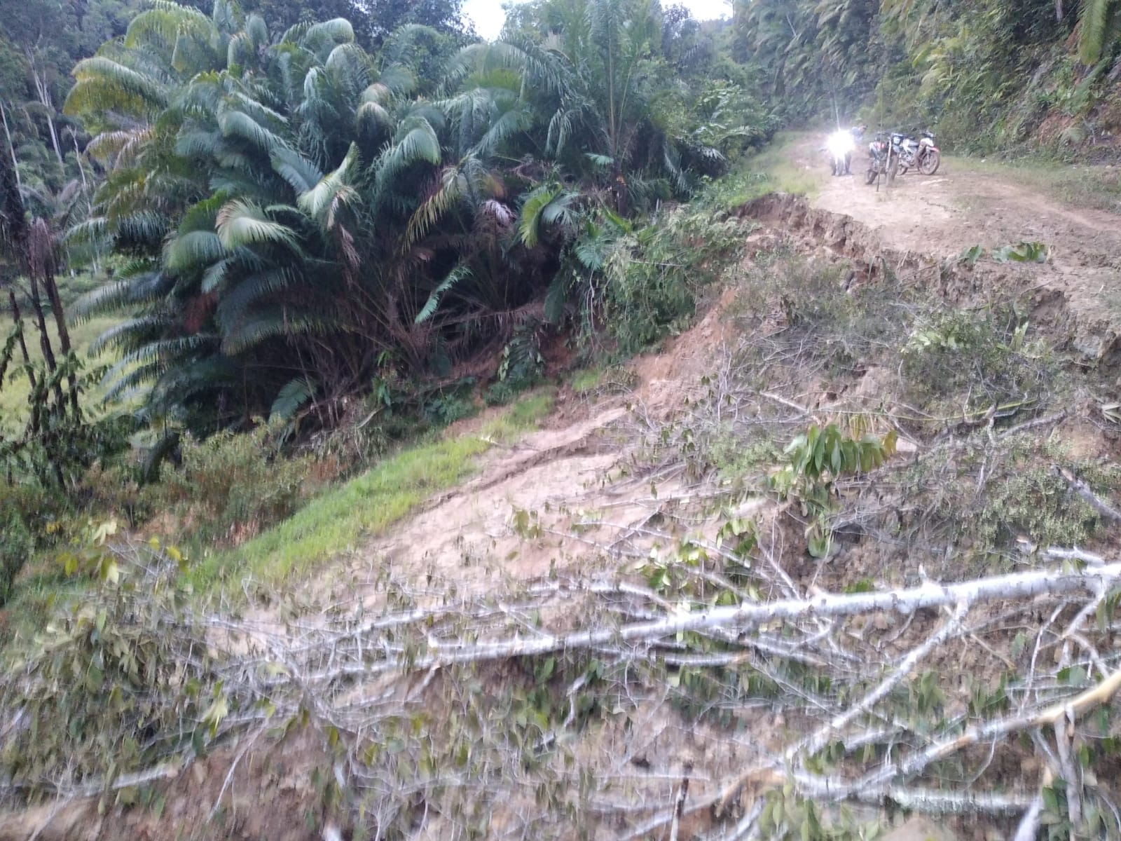
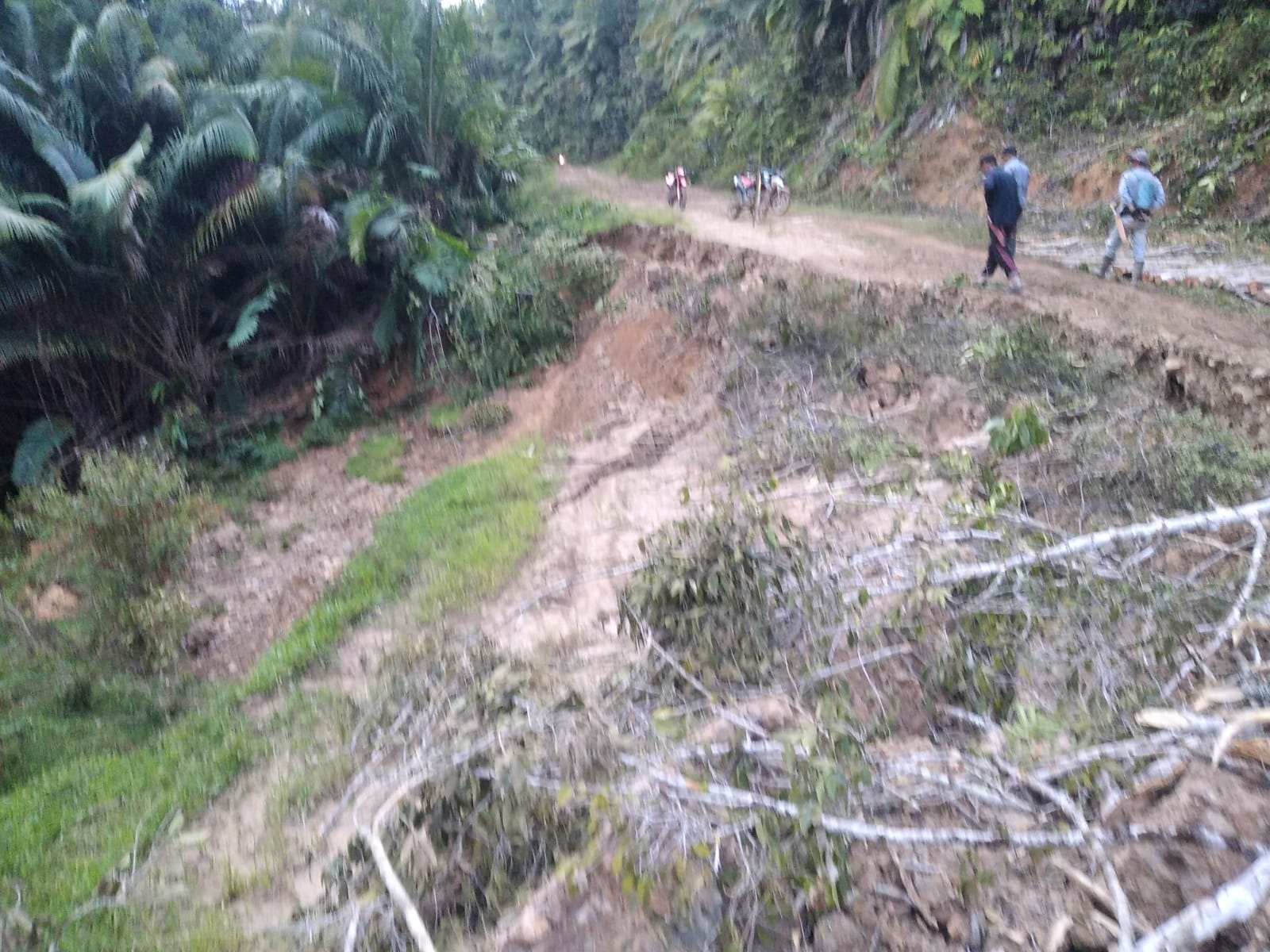
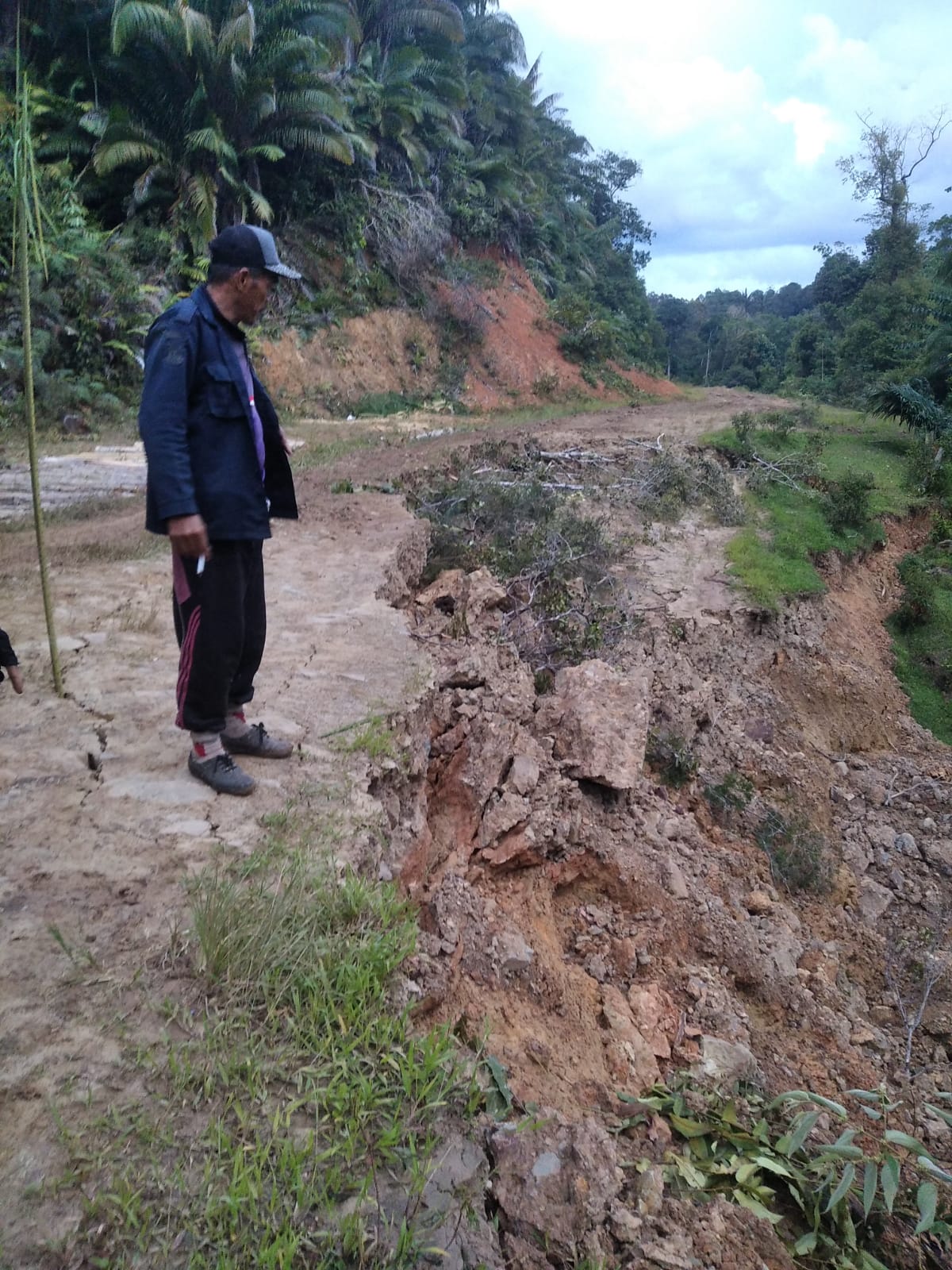
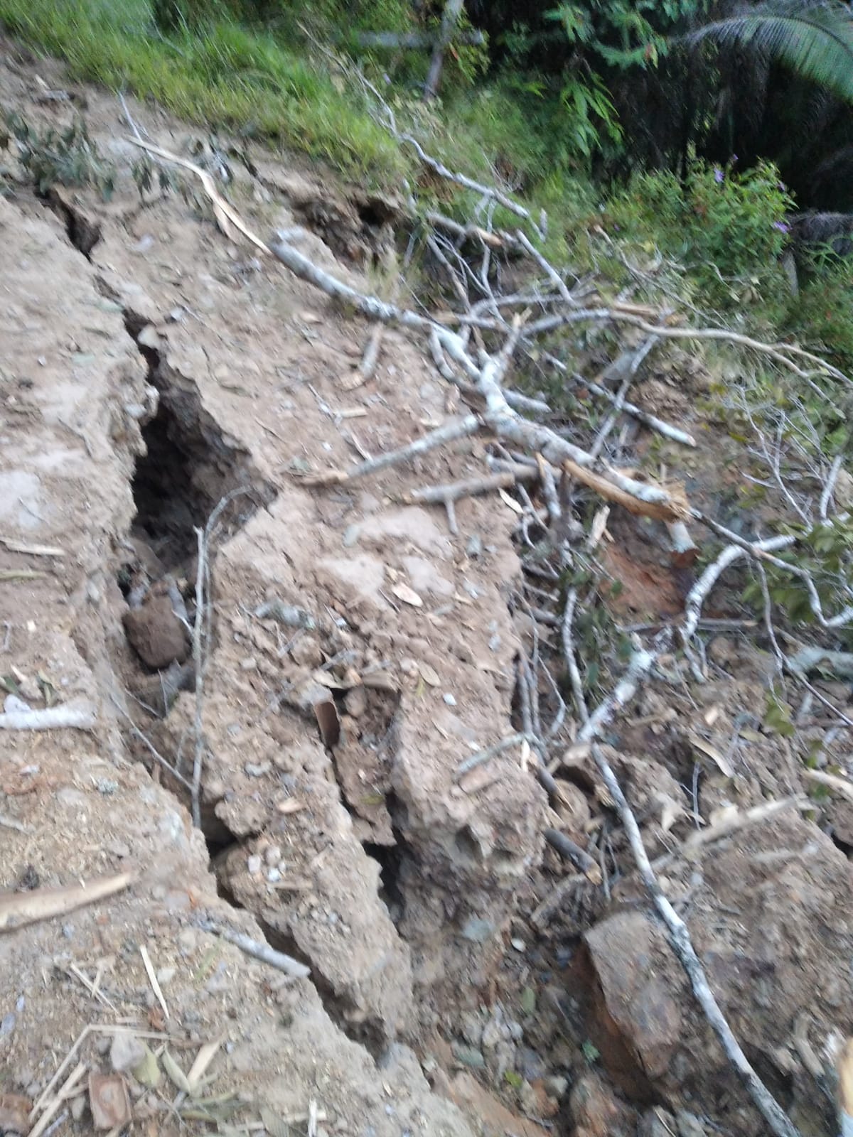
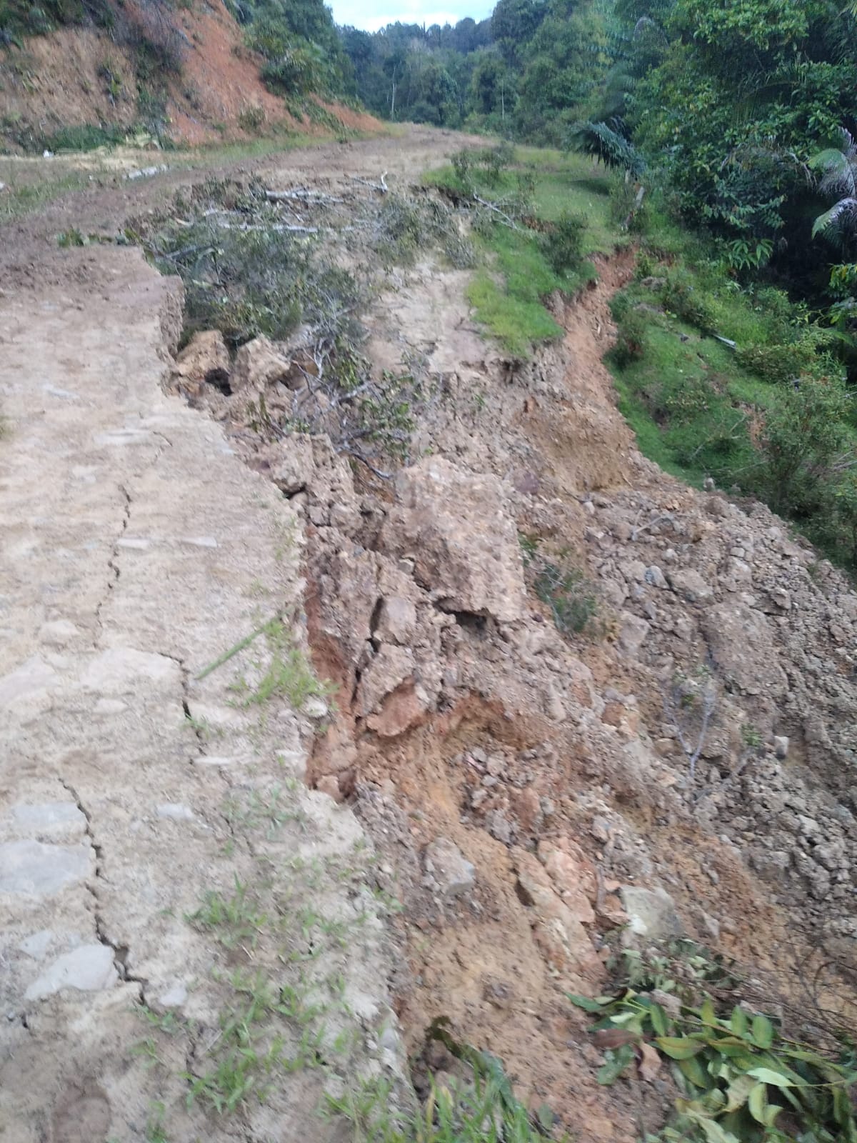
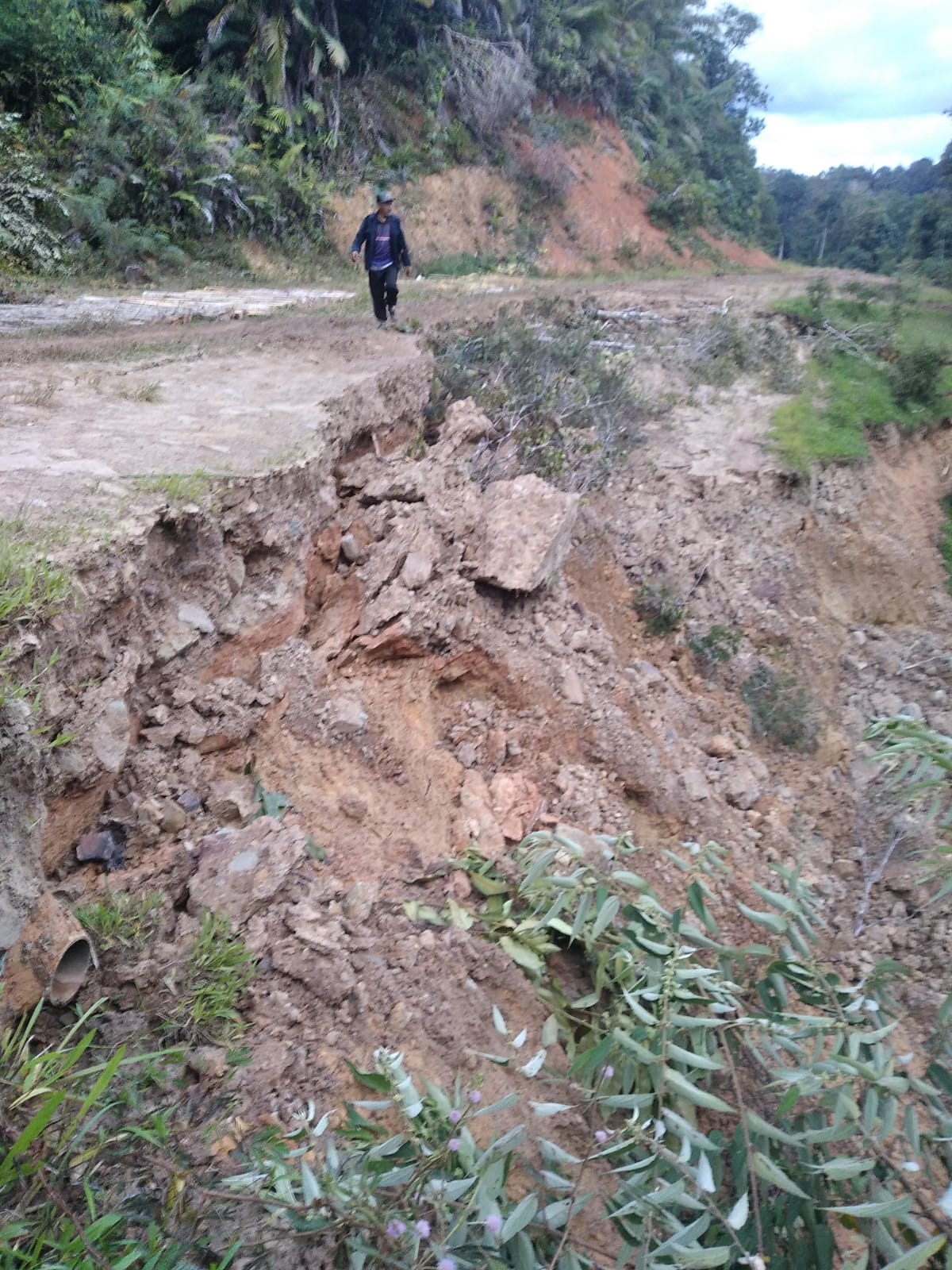
● The Sub-district, Village Apparatus, TNI, POLRI, BPBD and the community have carried out community service to temporarily repair damaged bridges and create alternative roads at landslide points so that two-wheeled vehicles can pass temporarily.
➢ Status:
● Emergency Response Decree for 60 days is in process
➢ Current Condition:
● Floods have receded
Source: Mr. Rony Haryanto, Head of Emergency Logistics, BPBD, North Kalimantan Province
Impact Statistic
0
Dead
0
Missing
0
Injured
696
Affected Person
0
Displaced

Human SADDD
- Dead -
- Missing -
- Injured -
- Affected Person 696
- Affected Family 238
- Internaly Displaced People -
- Refugees -
- Evacuation Center (in Country) -
- Evacuation Center (out Of Country) -
House
- Affected Houses 238
- Damage Partial -
- Totally Damage -
Infrastructure
- Bridges 1
- Number of Roads -
- Road Distance (km) -
Public
- Schools -
- Health -
- Government Office / Public Facilities -
- Settlements -
- Worship Places -
- Others -
General
Cost
- Local Currency -
- Cost of Damages -
- Cost of Damages (USD) -
- Cost of Assistance -
- Cost of Assistance (USD) -
Agricultural
- Rice Field -
- Other Crops 15.00
- Fish Ponds -
- Cattle -
- Poultries -
- Livestock -
Relevant Disasters
The ASEAN Disaster Information Network (ADINet) is a repository of information concerning hazards and disasters that have happened in the region. The platform is open for public, which means that the public can submit information about any hazard and disaster to the AHA Centre. Thereafter, the AHA Centre will verify and validate any submitted information to ensure the accuracy of the data inputs. The AHA Centre can also add new information when relevant and as necessary. ADINet has been recording disaster information in the region since the AHA Centre was operational in 2012.

Supported by :