Indonesia, Flooding in Labuhan Batu (North Sumatra)
Oct 09, 2024 17:00
Oct 21, 2024 20:22
Location
Coordinate:
2.278724946412, 100.05640382945
Administrative:
Sumatera Utara, Indonesia
Affected Area:
Sumatera Utara
Hazard
Main : Flood- Inundated Area (km) = -
- Maximum Flood Depth (cm) = -
Description
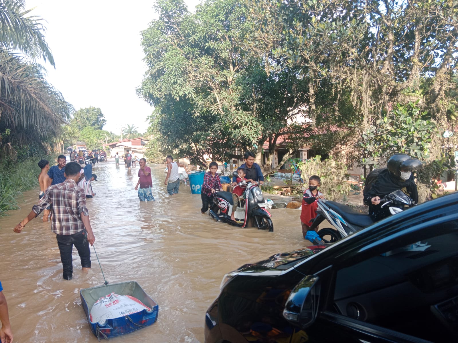
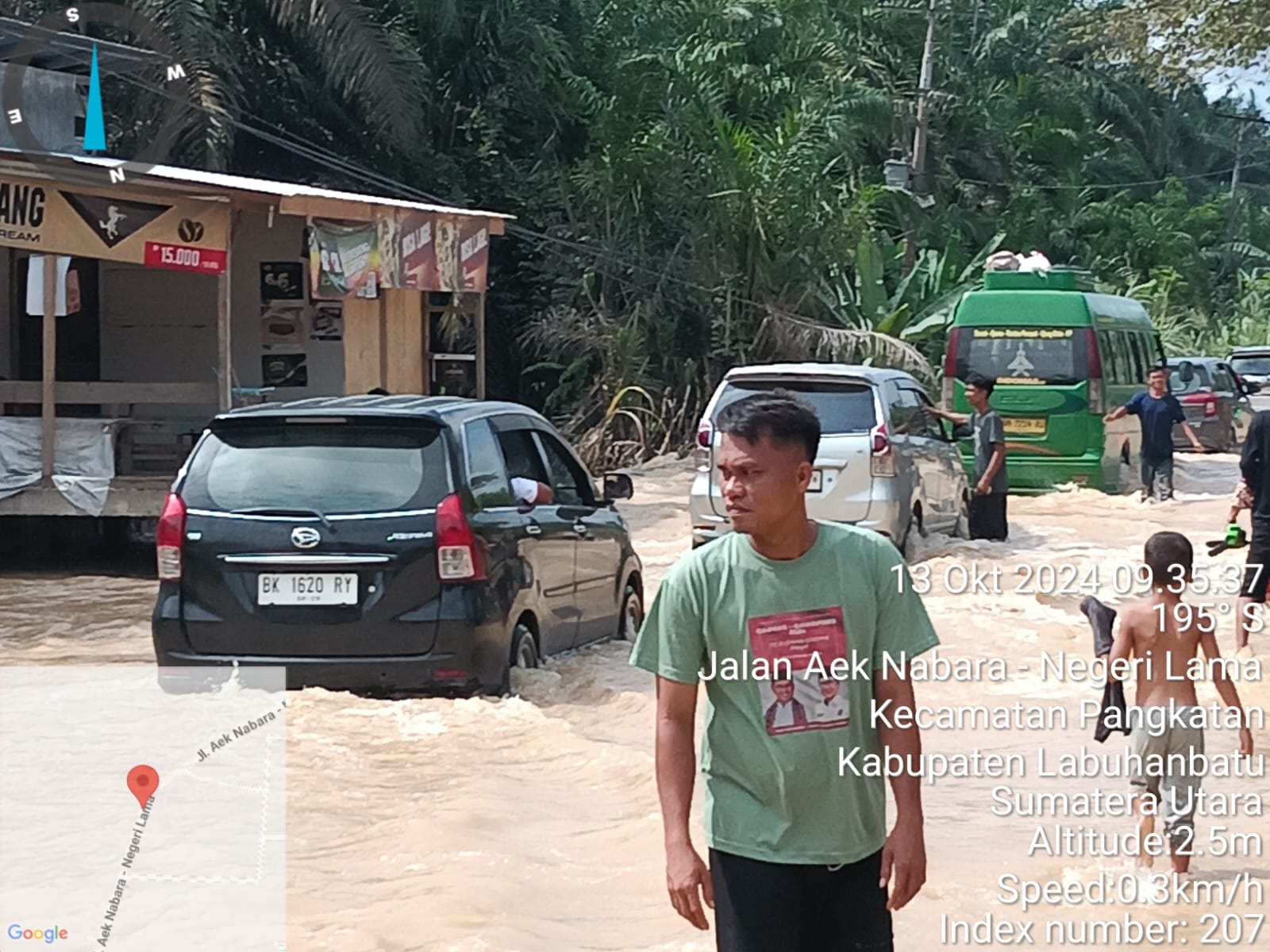
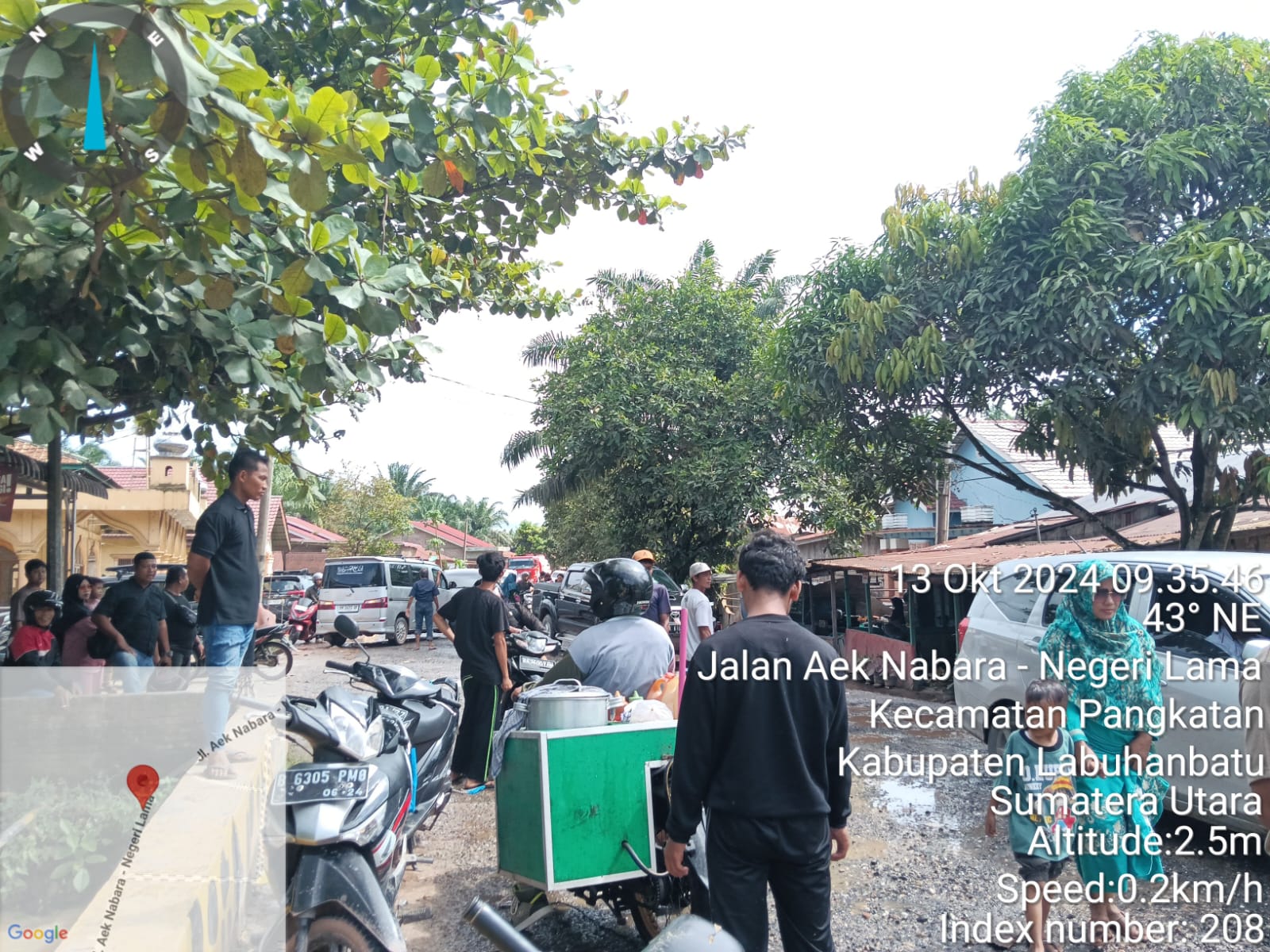
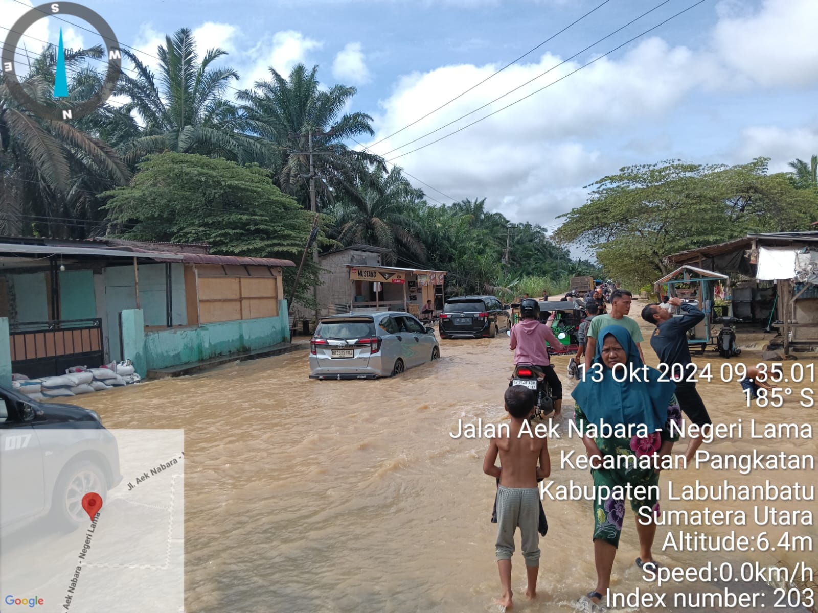
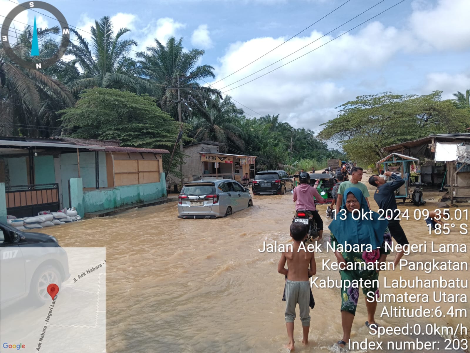
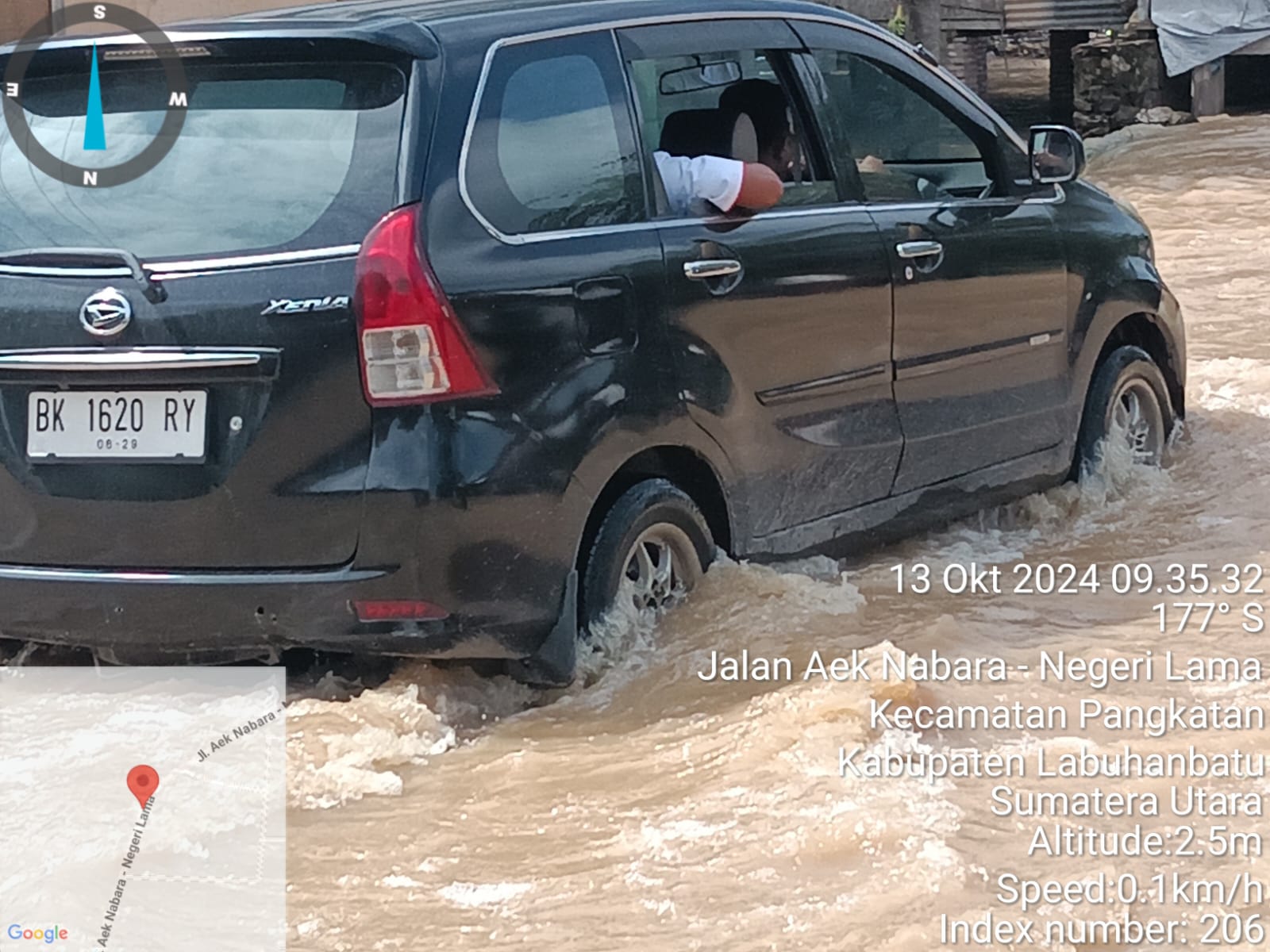
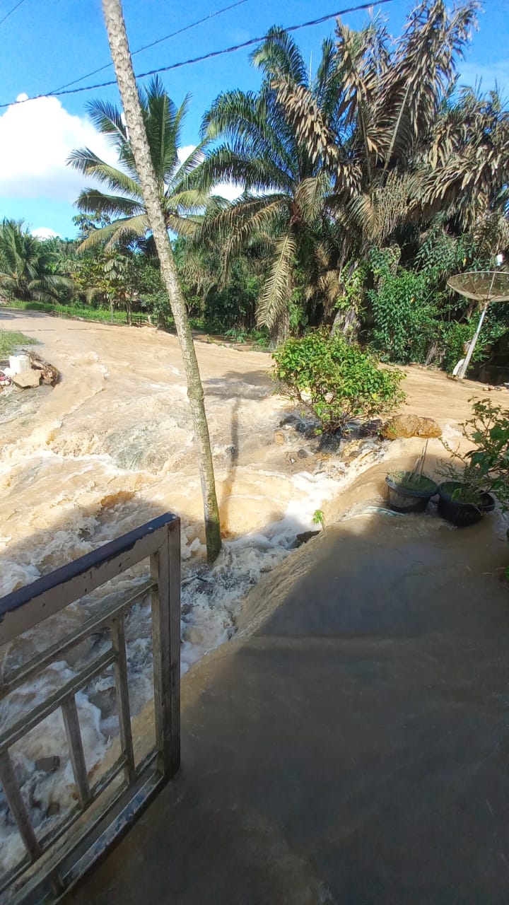
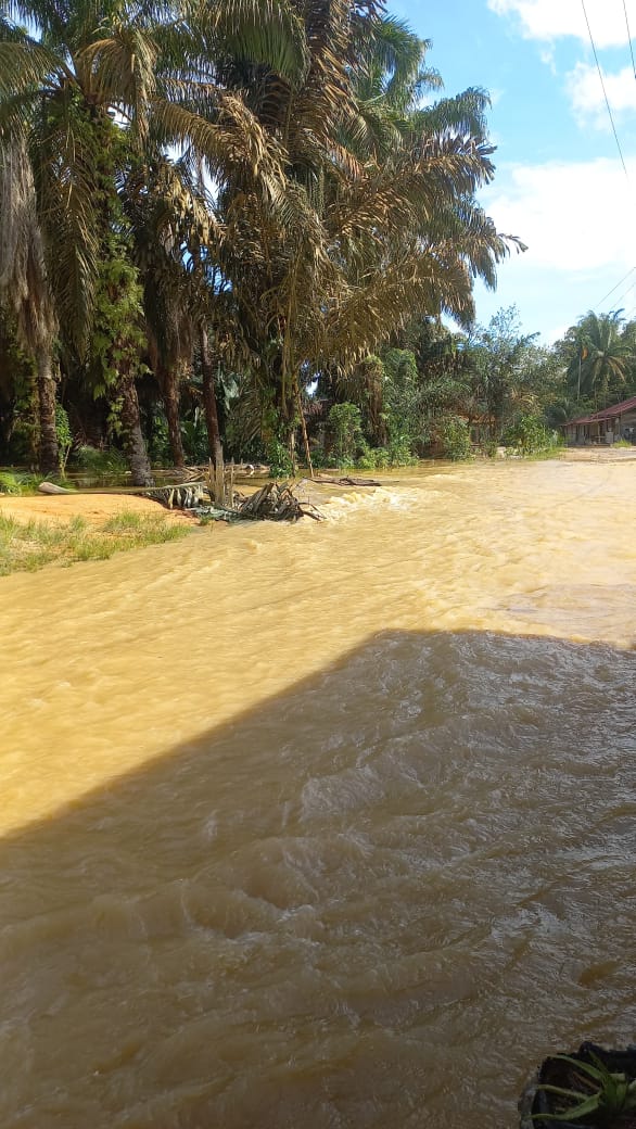
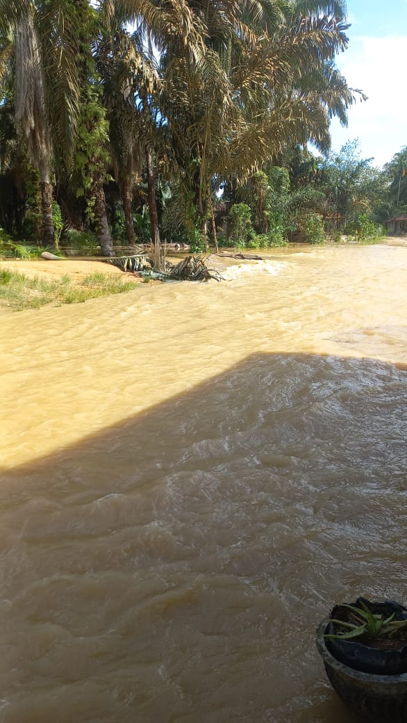
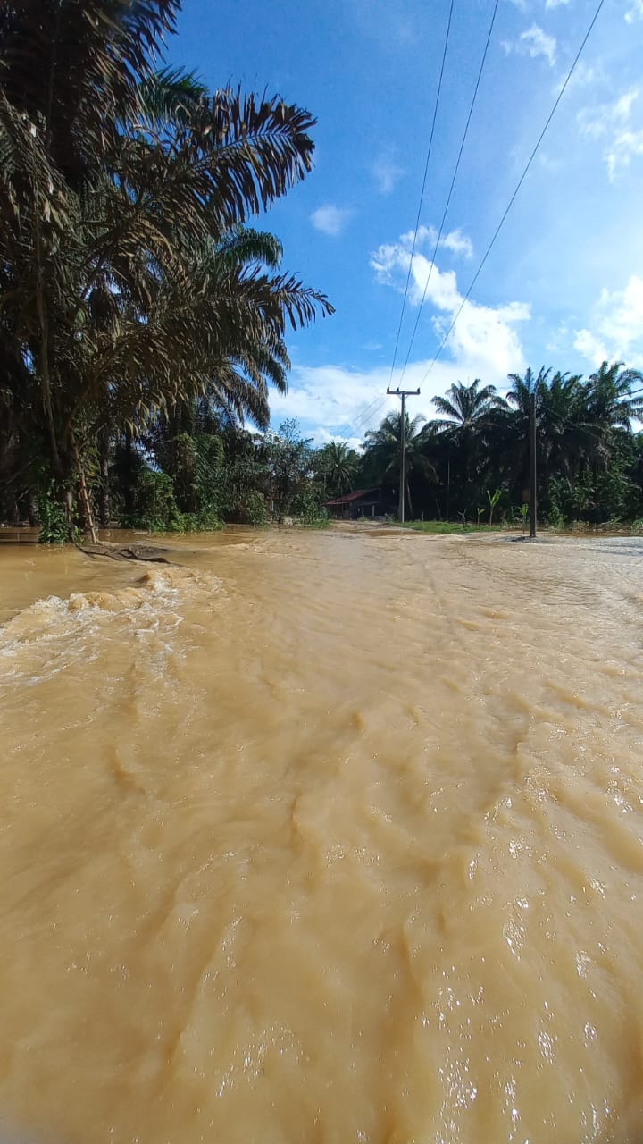
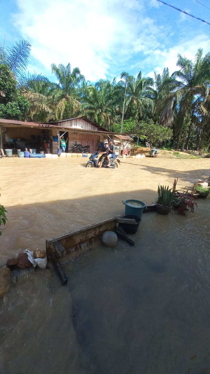
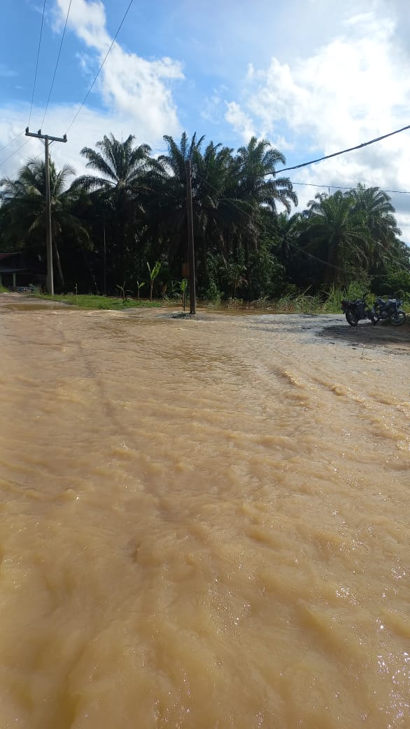
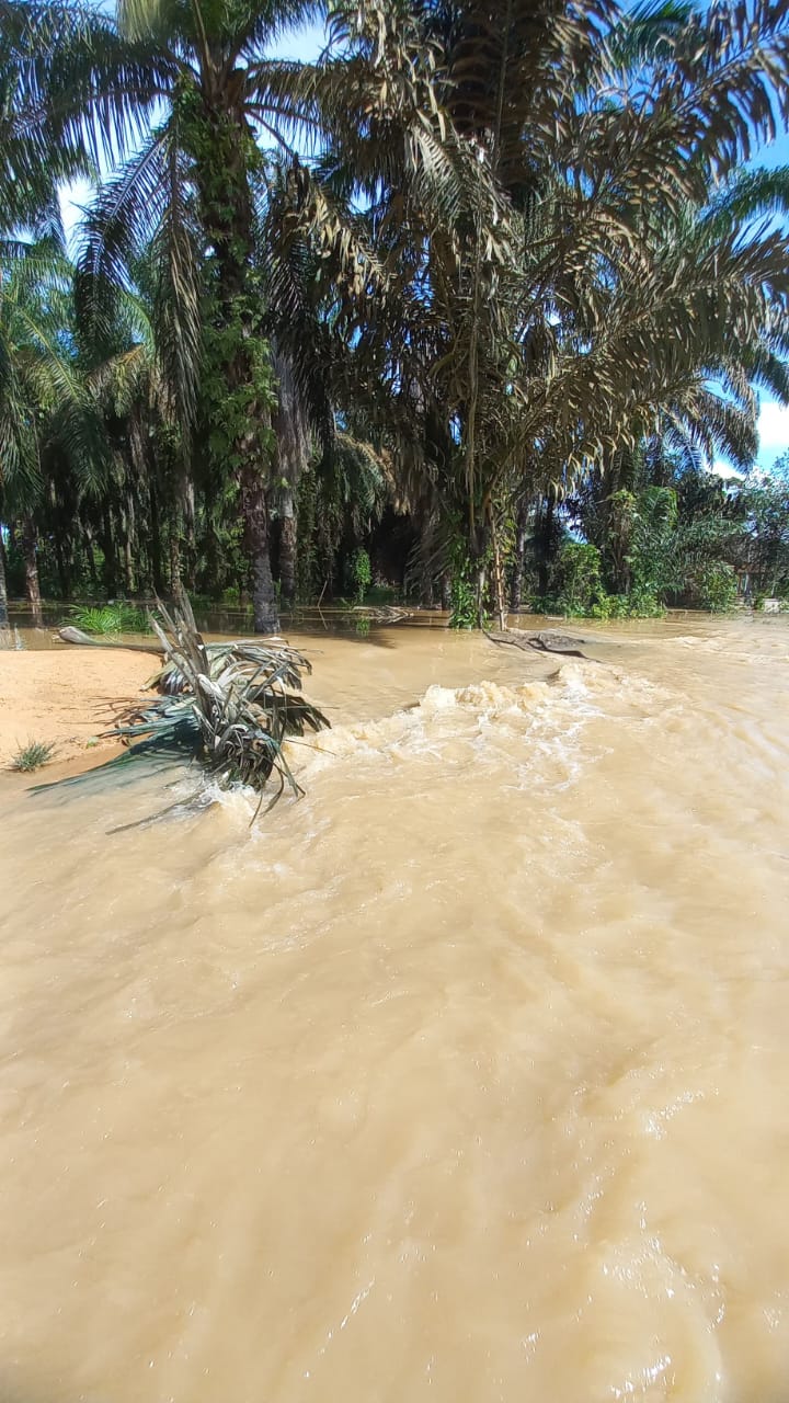
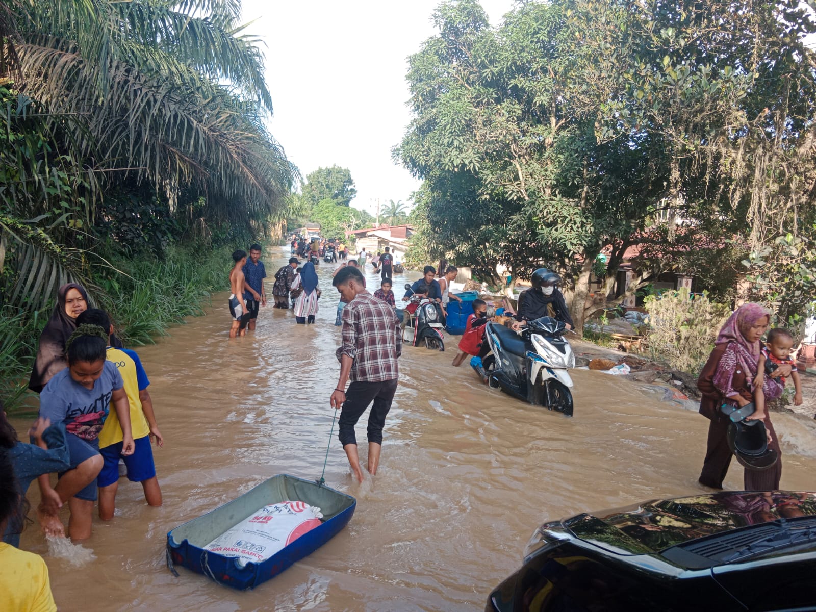
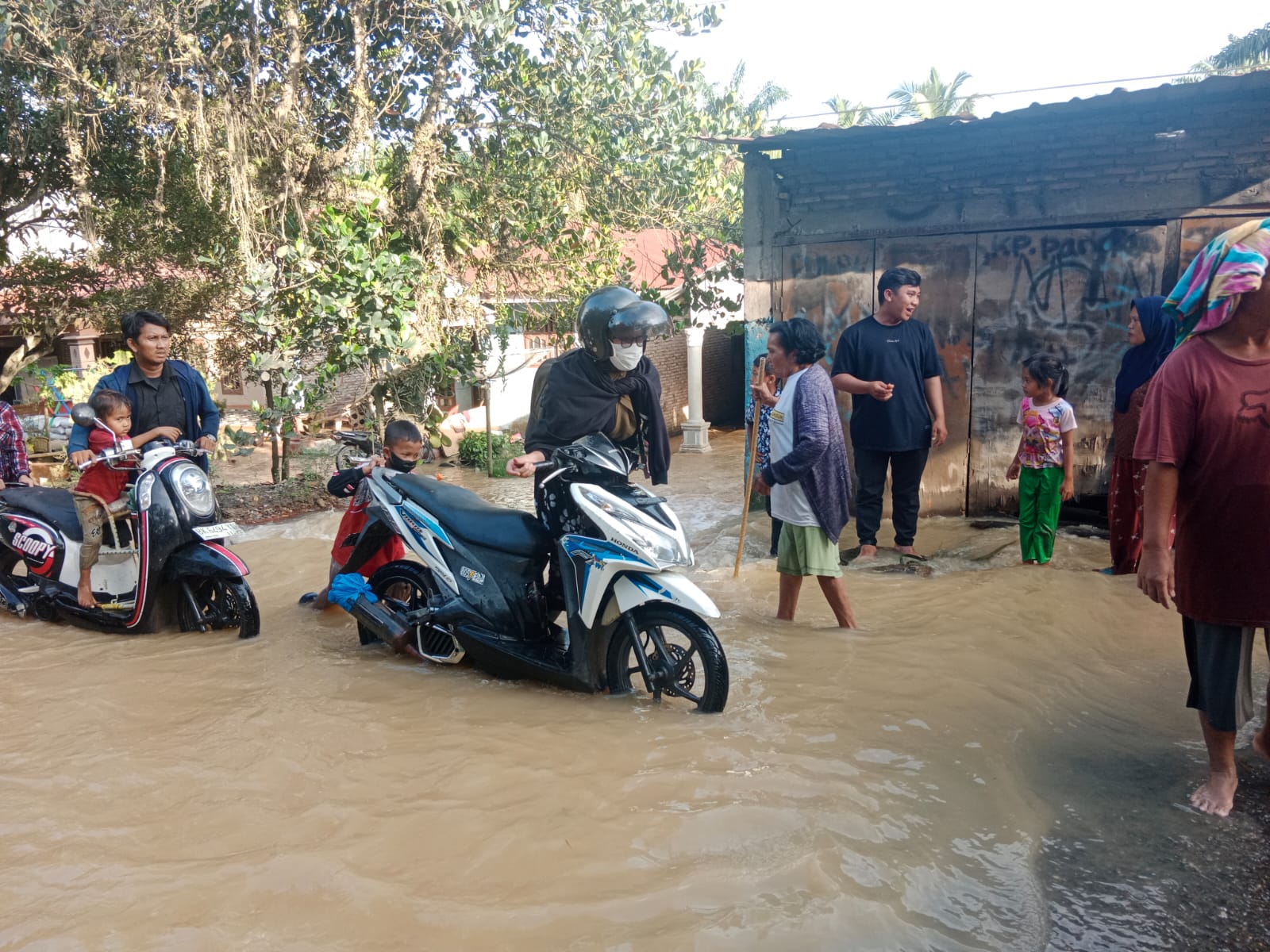
➢ Chronology: A flood disaster has occurred caused by excessive rainfall and rising sea levels and causing the water discharge of the Bilah River to rise so that it overflows onto the Angkatankan cross-country road to Negeri Lama. Wednesday, October 9, 2024 at 17.00 WIB
➢ Location:
● Pangkatan District
- Sennah Village
➢ Casualties:
● 30 families affected
➢ Material Losses:
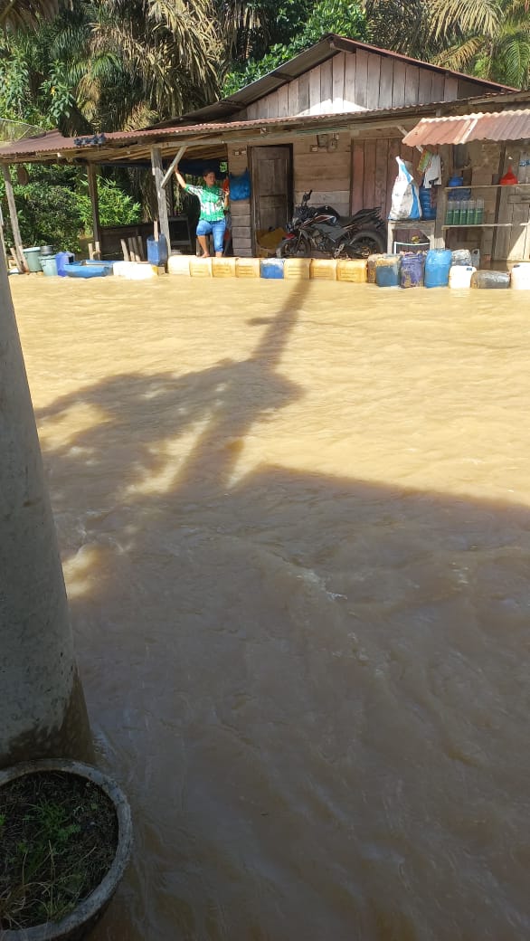
● 30 houses affected
● 1 main access road affected
➢ Efforts:
● The Labuhan Batu Regency BPBD monitors and appeals to residents to remain vigilant and maintain safety and health when facing a flood disaster.
● The Labuhan Batu Regency BPBD appeals to residents to remain careful and vigilant when crossing floods, noting that if the water continues to rise, residents must be prepared to evacuate to higher areas.
● BPBD Labuhan Batu Regency coordinates with the village government, sub-district, TNI/POLRI, and monitors flood conditions.
● BPBD Labuhan Batu Regency Documents and Reports disaster events.
➢ Elements involved:
● Rapid Reaction Team-PB BPBD Labuhan Batu Regency
● Labuhan Batu Regency Government,
● TNI/POLRI,
● Plantation companies
● Community
➢ Current Condition:
● Water continues to rise to the road with a height of 40 cm and public road users are expected to be careful when crossing, affected residents' houses are submerged in water with a height of 30 cm with the note that if it does not rain upstream, the water will recede soon.
● TMA 30 -40 cm.
Source: Kalak Labuhanbatu Regency Mr. Darwin Yusma
Impact Statistic
0
Dead
0
Missing
0
Injured
120
Affected Person
0
Displaced
External Video
News
Human SADDD
- Dead -
- Missing -
- Injured -
- Affected Person 120
- Affected Family 30
- Internaly Displaced People -
- Refugees -
- Evacuation Center (in Country) -
- Evacuation Center (out Of Country) -
House
- Affected Houses 30
- Damage Partial -
- Totally Damage -
Infrastructure
- Bridges -
- Number of Roads 1
- Road Distance (km) -
Public
- Schools -
- Health -
- Government Office / Public Facilities -
- Settlements -
- Worship Places -
- Others -
General
Cost
- Local Currency -
- Cost of Damages -
- Cost of Damages (USD) -
- Cost of Assistance -
- Cost of Assistance (USD) -
Agricultural
- Rice Field -
- Other Crops -
- Fish Ponds -
- Cattle -
- Poultries -
- Livestock -
Relevant Disasters
The ASEAN Disaster Information Network (ADINet) is a repository of information concerning hazards and disasters that have happened in the region. The platform is open for public, which means that the public can submit information about any hazard and disaster to the AHA Centre. Thereafter, the AHA Centre will verify and validate any submitted information to ensure the accuracy of the data inputs. The AHA Centre can also add new information when relevant and as necessary. ADINet has been recording disaster information in the region since the AHA Centre was operational in 2012.

Supported by :