Indonesia, Flooding in Deli Serdang (North Sumatra)
Sep 17, 2024 13:30
Sep 21, 2024 15:49
Location
Coordinate:
3.4800950478016, 98.694064744942
Administrative:
Sumatera Utara, Indonesia
Affected Area:
Sumatera Utara
Hazard
Main : Flood- Inundated Area (km) = -
- Maximum Flood Depth (cm) = -
Description
Coastal flooding caused by high waves
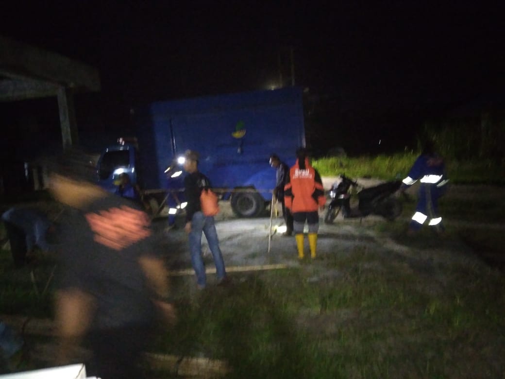
➢ Chronology: Around 13.30 WIB Tuesday, September 17, 2024, Sea Water Tides Accompanied by Extreme Weather and High Waves of ± 1.5 - 2 m.
● Resulting in Residents' Houses Being Swept Away by Waves, and Two Residents Being Swept Away by Waves 2 Km from the Shore Because They Were Saving Boats, They Were Found Safely by Local Residents.
➢ Location:
● Pantai Labu District
- Rugemuk Village
➢ Casualties: 95 families / 363 people
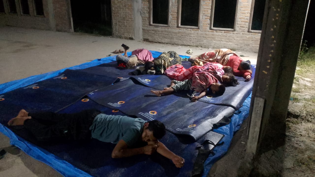
➢ Evacuated: 2 families / 6 people (at the Al Ihsaan Mosque).
➢ Material Losses
● 3 Coastal tourist attractions affected
● 10 fishing boats moderately damaged
● 1 Worship facility affected
● 2 Education facilities affected
➢ Efforts:
● The Deli Serdang Regency BPBD Rapid Reaction Team coordinates with the Village Head and Hamlet Head, to conduct socialization to residents
● Conduct assessments on site
● Help evacuate residents independently
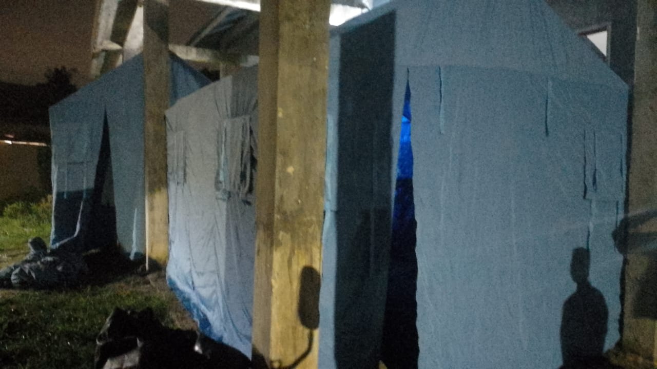
● Open evacuation camps
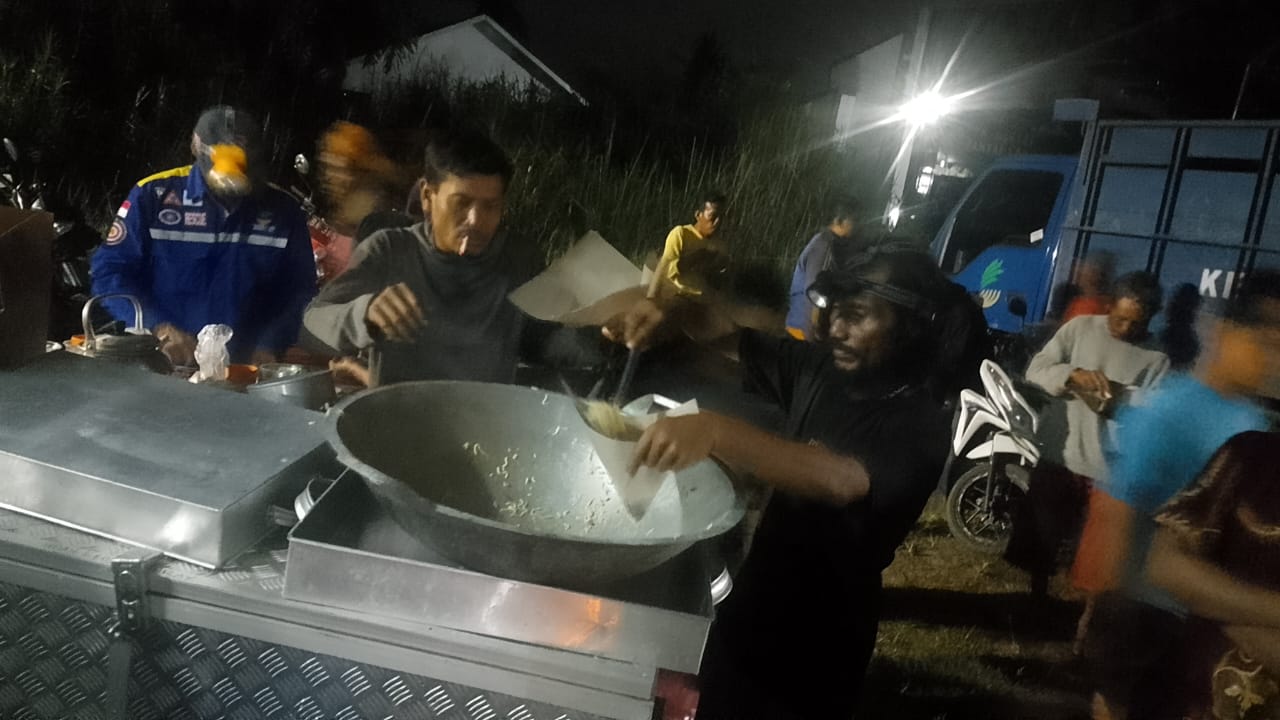
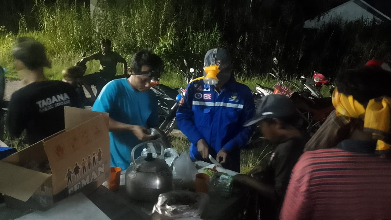
● Open public kitchens
➢ Obstacles in the Field:
● There needs to be a breakwater along the coast about 4 km from Rugemuk Village.
➢ Elements Involved:
1. Pantai Labu Sub-district Head
2. Deli Serdang Regency BPBD Rapid Reaction Team
3. Deli Serdang Tagana
4. Rugemuk Village Head
5. Rugemuk Village Secretary
6. Head of Hamlet III
7. Head of Hamlet IV
8. Babinsa
9. River Flow Monitoring Agency (BWS)
➢ Current Conditions:
● High waves are normal, high tides above 2.3 m are predicted to occur from 17-23 September 2024 at 01.00 - 05.00 WIB and 13.00 - 16.00 WIB.
● And for the public kitchen, they have received basic food assistance from the Social Service, Fish Farmers, and Sub-district
Source: Pusdalops BPBD Deli Serdang
Impact Statistic
0
Dead
0
Missing
0
Injured
363
Affected Person
6
Displaced
External Video
News
Human SADDD
- Dead -
- Missing -
- Injured -
- Affected Person 363
- Affected Family 95
- Internaly Displaced People 6
- Refugees -
- Evacuation Center (in Country) -
- Evacuation Center (out Of Country) -
House
- Affected Houses -
- Damage Partial -
- Totally Damage -
Infrastructure
- Bridges -
- Number of Roads -
- Road Distance (km) -
Public
- Schools 1
- Health -
- Government Office / Public Facilities -
- Settlements -
- Worship Places 2
- Others 3
General
Cost
- Local Currency -
- Cost of Damages -
- Cost of Damages (USD) -
- Cost of Assistance -
- Cost of Assistance (USD) -
Agricultural
- Rice Field -
- Other Crops -
- Fish Ponds -
- Cattle -
- Poultries -
- Livestock -
Relevant Disasters
The ASEAN Disaster Information Network (ADINet) is a repository of information concerning hazards and disasters that have happened in the region. The platform is open for public, which means that the public can submit information about any hazard and disaster to the AHA Centre. Thereafter, the AHA Centre will verify and validate any submitted information to ensure the accuracy of the data inputs. The AHA Centre can also add new information when relevant and as necessary. ADINet has been recording disaster information in the region since the AHA Centre was operational in 2012.

Supported by :