Indonesia, Flooding in Aceh Barat (Aceh)
Sep 21, 2024 03:00
Sep 24, 2024 15:03
Location
Coordinate:
4.4566684388615, 96.185294583304
Administrative:
Aceh, Indonesia
Affected Area:
Aceh
Hazard
Main : Flood- Inundated Area (km) = -
- Maximum Flood Depth (cm) = -
Description
➢ Chronology:
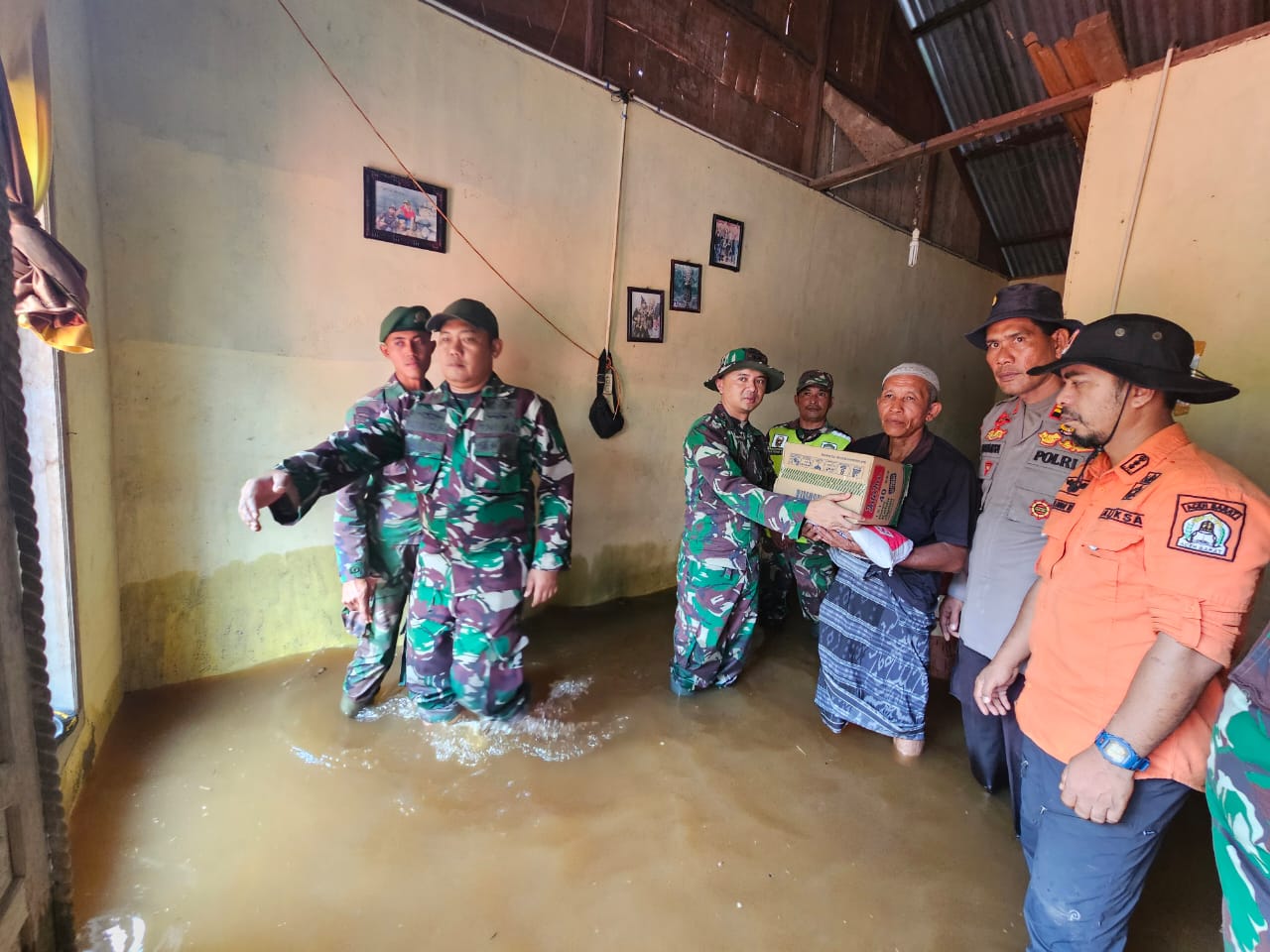
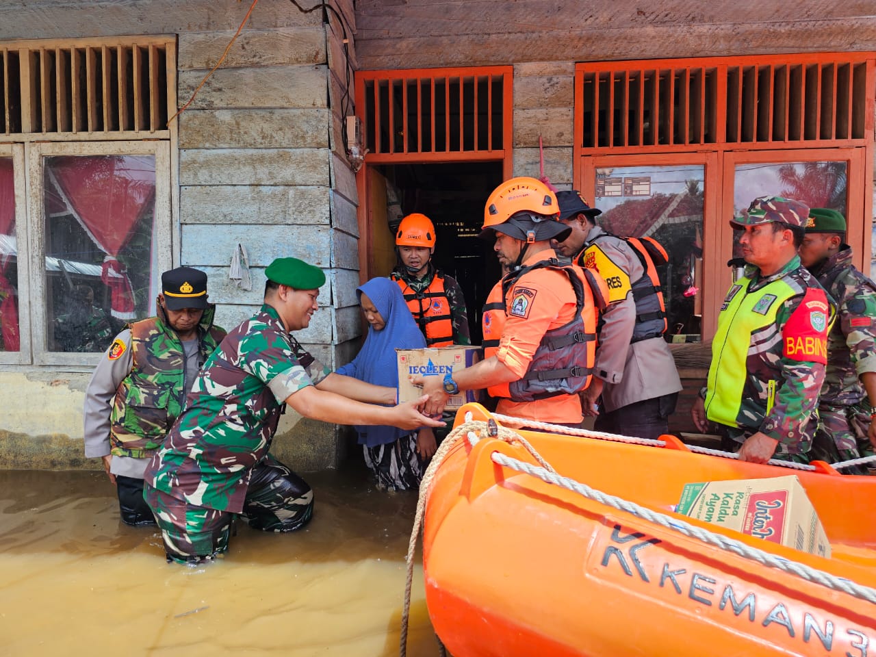
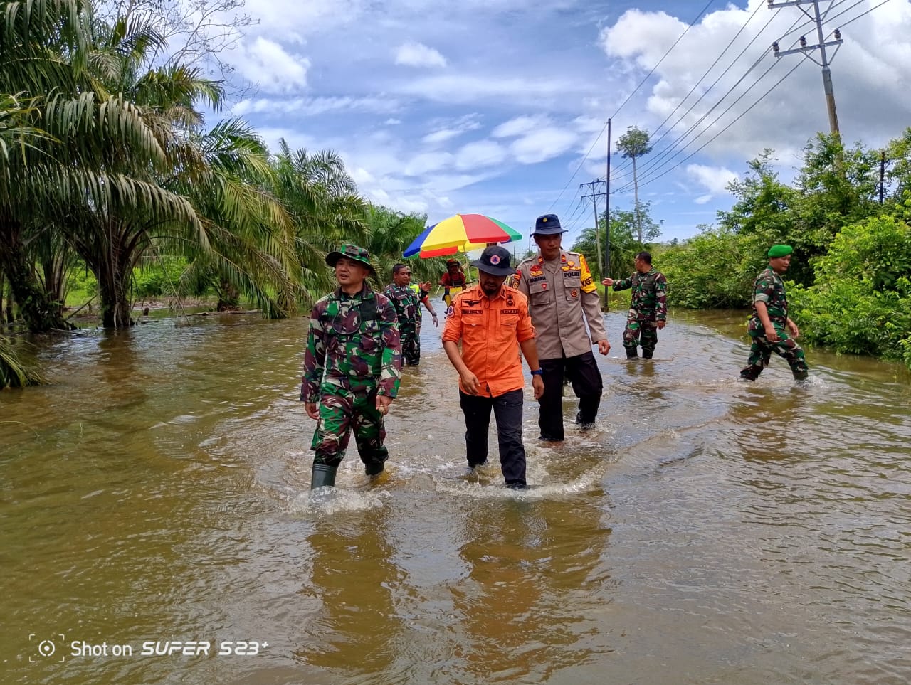
Triggered by high intensity rain resulting in the overflow of the Krueng Woyla and Krueng Pante Cermen rivers on Saturday, September 21 2024, at. 03.00 WIB
➢ Location: (7 sub-districts / 12 villages)
● Kec. West Woyla
- Gp. Napai
- Gp. Blang Cot Me
- Gp. Blang Luah
● District. Pante Ceureumen
- Gp. Seumantok
● District. Arongan Lambalek
- Gp. Teupin Peraho
- Gp. Keub
- Gp. Pribu
- Gp. Ujong Beusa
● District. Johan Pahlawan
- Gp. Pasie Leuhan
● District. Meureubo
- Gp. Pasie Mesjid
● Sungai Mas District
- Tutut Village
● Kaway XVI District
- Puuk Village (House Collapsed, Eroded by River Water)
➢ Casualties:
● 2 People Died as follows:
● Casualties affected (data collection)
➢ Material Losses:
● 1 Education Facility affected
● 2 Education Facility affected
● Data Collection
➢ Efforts:
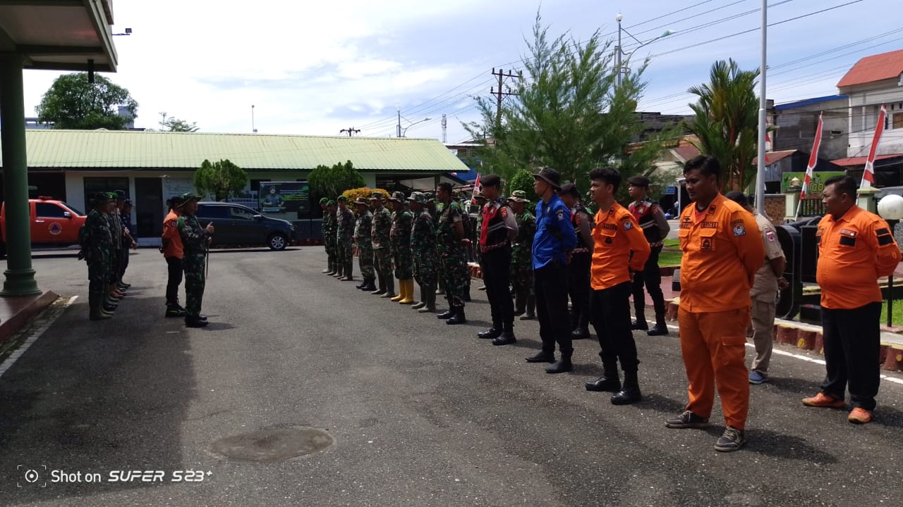
● BPBD West Aceh through the instruction of the Leadership Elements deployed the Pusdalops team, TRC and the Sub-district Fire Department Post to continue monitoring the flood locations in several Sub-districts.
➢ Conditions Latest:
● Continuous heavy rain has caused the river water to overflow again, several sub-districts have been affected by the flood disaster.
● Based on information from Tutut residents, in Sungai Mas sub-district (upstream of Krueng Woyla) the river water discharge is increasing.
● Around Woyla sub-district, it was observed that the Krueng Woyla river water discharge this morning has entered the residential areas of West Woyla residents again.
● East Woyla sub-district is generally still safe but still on alert information from residents there
● According to information from local residents, for the Pante Ceureumen District area (Hulu Krueng Meureubo) in the Seumantok area, the river water overflowed on September 21, 2024 at 03.00 WIB, but when this report was released, the water The river has gradually receded.
Source: Mashuri Pusdalops West Aceh
Impact Statistic
2
Dead
0
Missing
0
Injured
0
Affected Person
0
Displaced
External Video
News
Human SADDD
- Dead 2
- Missing -
- Injured -
- Affected Person -
- Affected Family -
- Internaly Displaced People -
- Refugees -
- Evacuation Center (in Country) -
- Evacuation Center (out Of Country) -
House
- Affected Houses -
- Damage Partial -
- Totally Damage -
Infrastructure
- Bridges -
- Number of Roads -
- Road Distance (km) -
Public
- Schools 1
- Health -
- Government Office / Public Facilities -
- Settlements -
- Worship Places 2
- Others -
General
Cost
- Local Currency -
- Cost of Damages -
- Cost of Damages (USD) -
- Cost of Assistance -
- Cost of Assistance (USD) -
Agricultural
- Rice Field -
- Other Crops -
- Fish Ponds -
- Cattle -
- Poultries -
- Livestock -
Relevant Disasters
The ASEAN Disaster Information Network (ADINet) is a repository of information concerning hazards and disasters that have happened in the region. The platform is open for public, which means that the public can submit information about any hazard and disaster to the AHA Centre. Thereafter, the AHA Centre will verify and validate any submitted information to ensure the accuracy of the data inputs. The AHA Centre can also add new information when relevant and as necessary. ADINet has been recording disaster information in the region since the AHA Centre was operational in 2012.

Supported by :