Indonesia, Flooding and Landslides in Padang Pariaman (West Sumatra)
Oct 04, 2024 17:00
Oct 07, 2024 20:52
Location
Coordinate:
-0.56229383986265, 100.22766999847
Administrative:
Sumatera Barat, Indonesia
Affected Area:
Sumatera Barat
Hazard
Main : Flood- Inundated Area (km) = -
- Maximum Flood Depth (cm) = -
Description
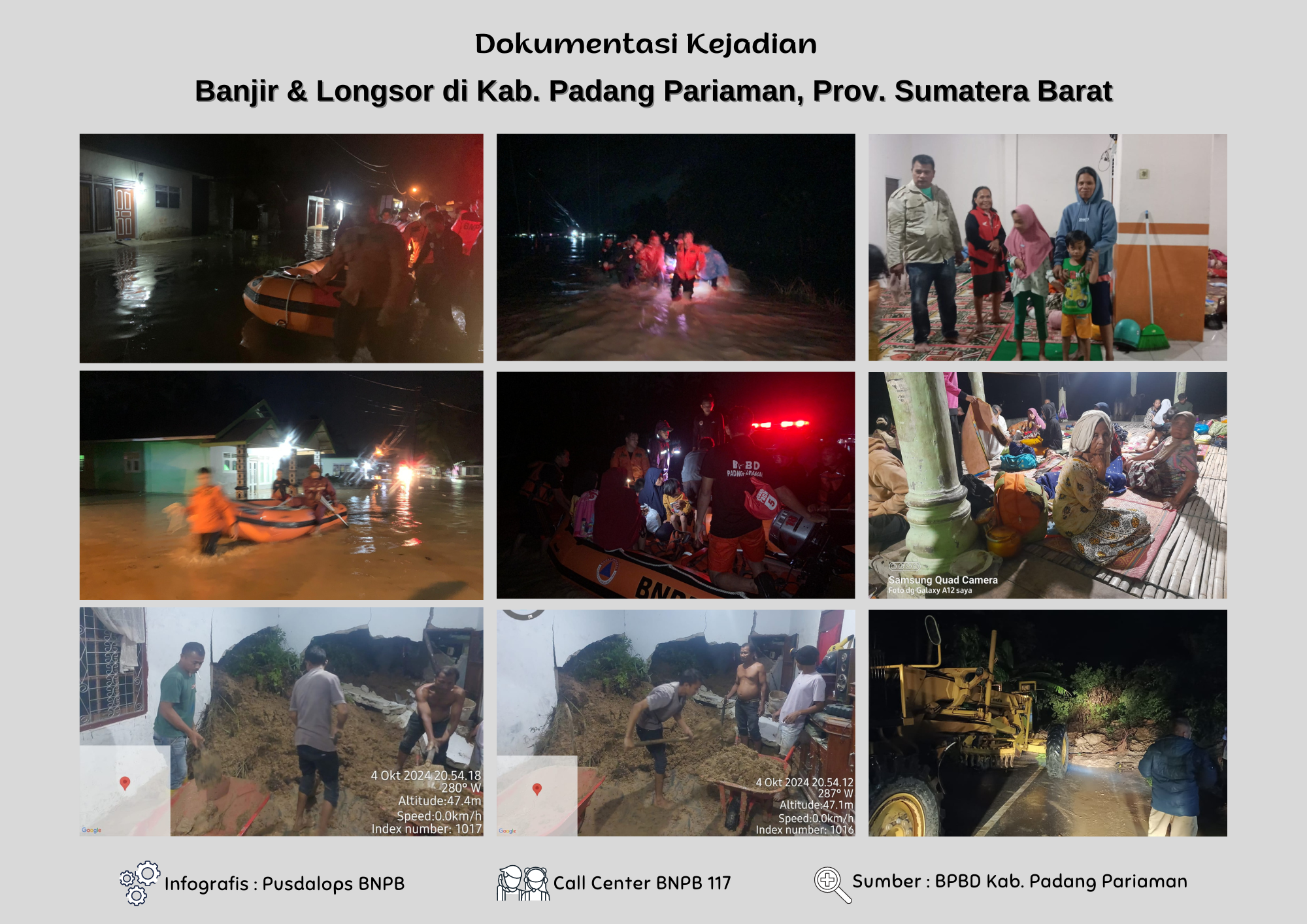
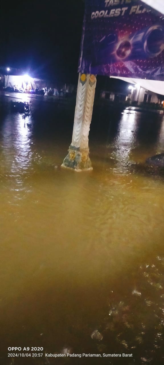
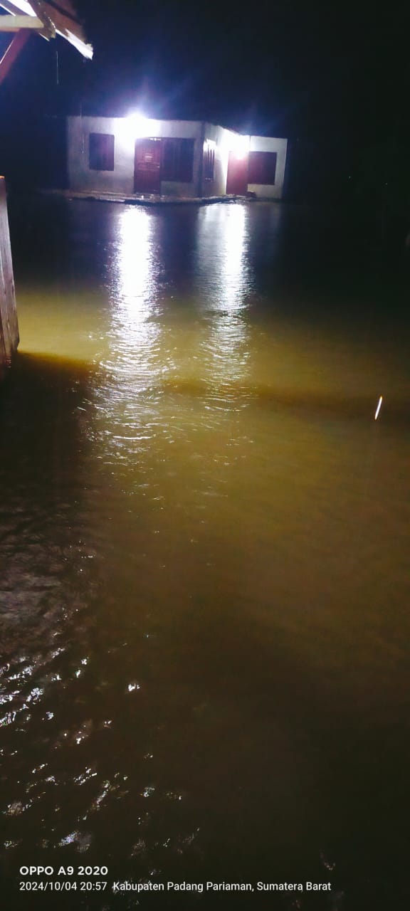
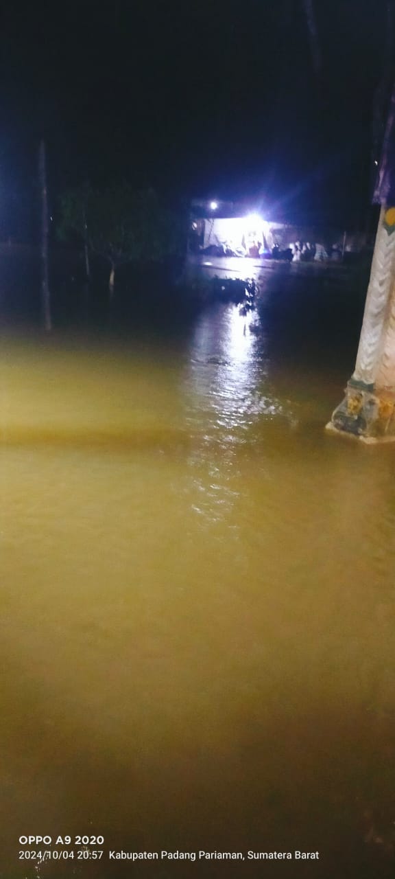
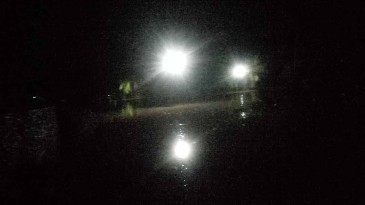
➢ Chronological: Triggered by high rainfall that caused increased water discharge of Batang Ulakan, Sungai Batang Tapakih & Sungai Batang Sei Gimba, in addition to flooding high rainfall intensity makes the soil structure become unstable so that landslides occur on Friday, October 4, 2024, at. 5:00 p.m.
➢ Location :
● District VII Koto
- Sungai Sariak Village
● Batang Gasan District
- Gasan Gadang Village
● District V Koto
- Campago Village
● District IV Koto Aua Malintang
- Village III Koto Aua Malintang South
● Ulakan Tapakih District
- Nagari Kampuang Galapuang Ulakan
- Nagari Seulayat Ulakan
- Gimba Ulakan River Village
- Country Password Ulakan
● Six Wards District
- Parik Malintang Village
● District In A Line
- Nagari Pauah Kamba
- Kapalo Koto Village
➢ Casualties:
● ± 1,102 households / 4,411 souls affected (still under investigation)
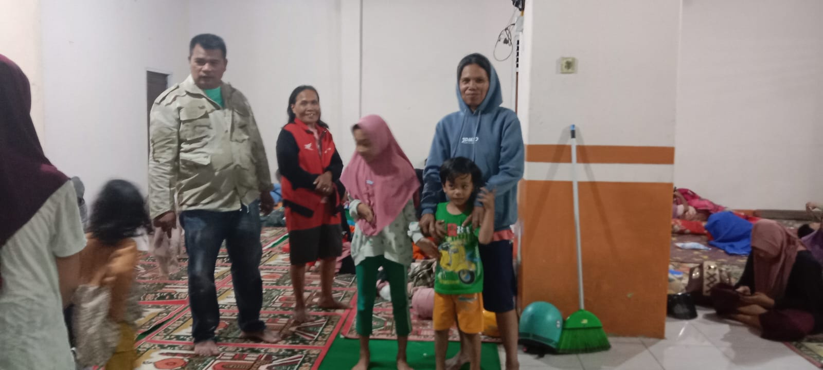
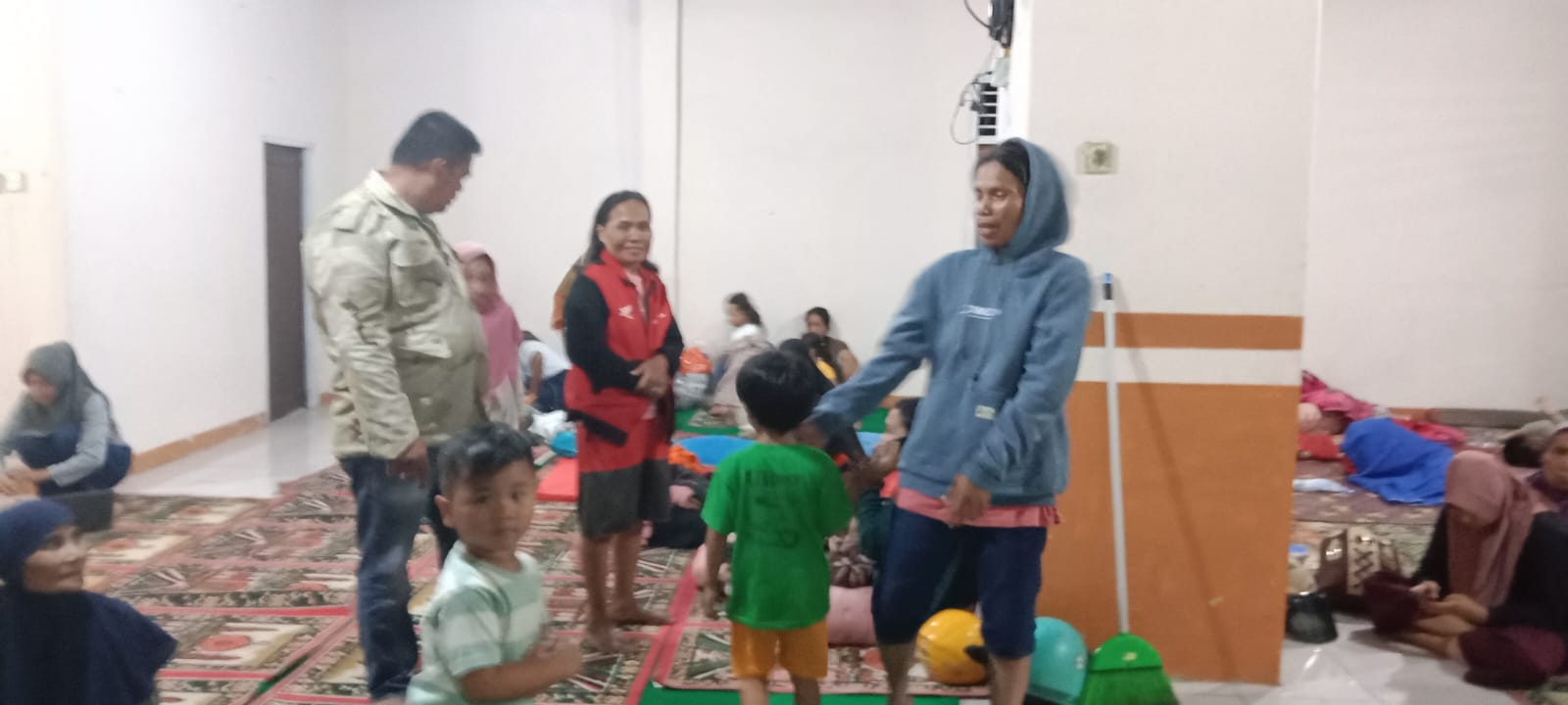
● ± 160 households / 480 people displaced (data) in 3 locations, namely;
1. Mosque / Surau
2. Competitions / Community Halls
3. Citizens House
Deepest sbb ;
● Flooding
- Ulakan Tapakih District; 4,080 people affected
- Six Environments District; Database
- Nan Sabaris District ; 325 people affected
● Avalanche
- District VII Koto ; Database
- Batang Gasan District; 1 household / 3 people affected
- District V Koto ; 1 household / 3 people affected
- District IV Koto Aua Malintang; Database
➢ Material Loss :
● ± 1,615 submerged housing units
● ± 2 house units landslide submerged / damaged (Data)
● Regency road agency (connector) Sariak River Village - Toboh Ketek Village affected (3 points)
● Roads in District IV Koto Aua Malintang affected
● WATER SURFACE HEIGHT ± 50 - 100 cm
Deepest sbb ;
● Flooding
- Ulakan Tapakih District; ± 1,515 submerged housing units
- Six Environments District; Database
- Nan Sabaris District ; ± 100 submerged housing units
● Avalanche
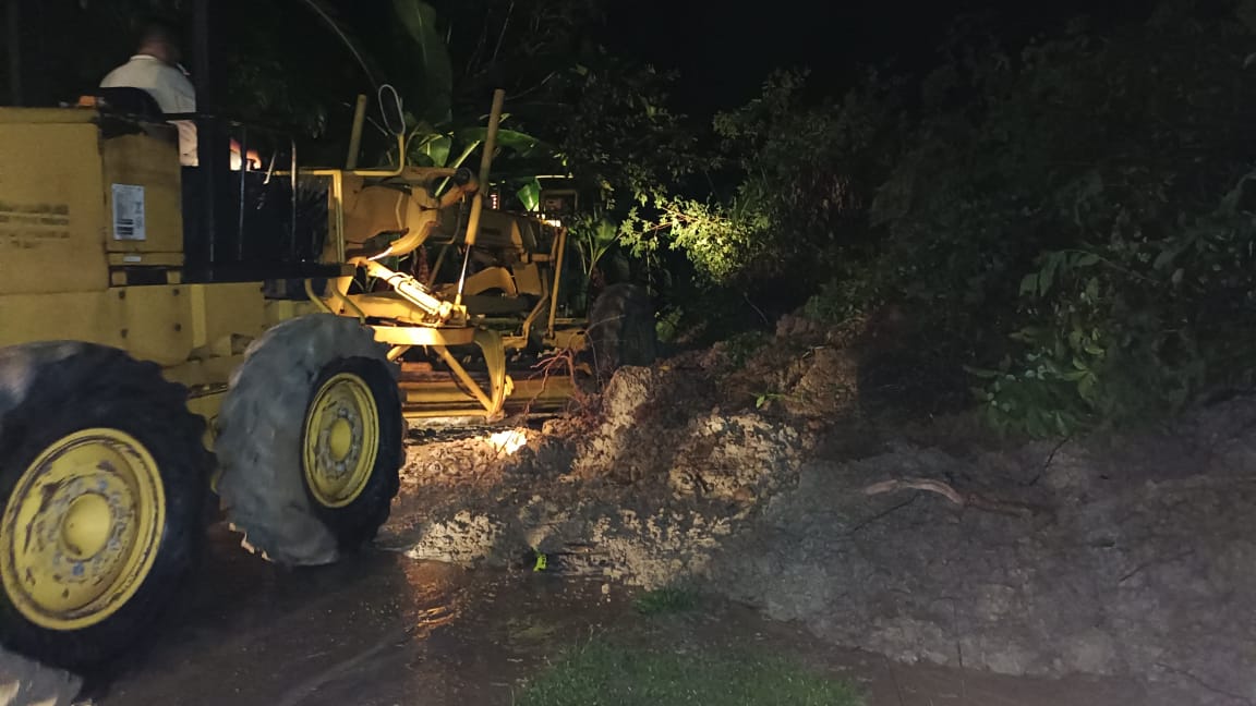
- District VII Koto ; road body connecting regency Sariak river village - Toboh Ketek village affected (3 points)
- Batang Gasan District; 1 residential unit impacted
- District V Koto ; 1 residential unit impacted
- District IV Koto Aua Malintang; road body impacted & impassable
➢ Effort :
● BPBD Padang Pariaman Regency coordinates relevant stakeholders
● BPBD Padang Pariaman Regency provided 10 packages of groceries and blankets
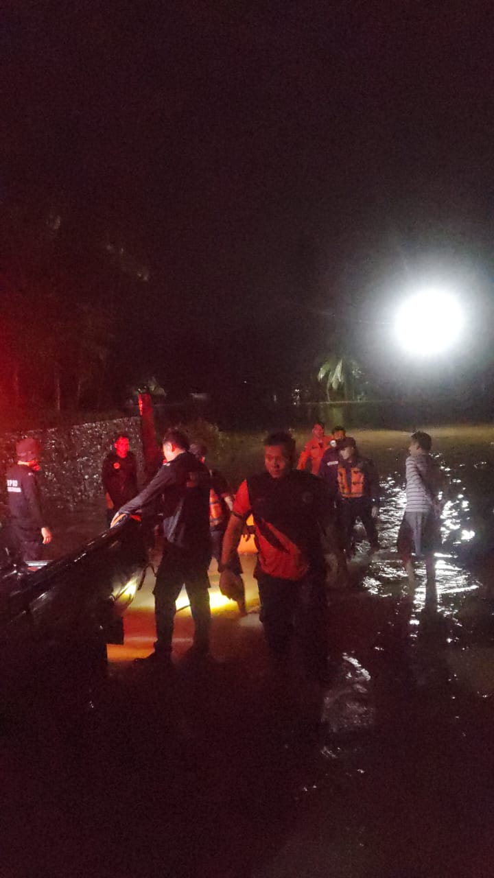
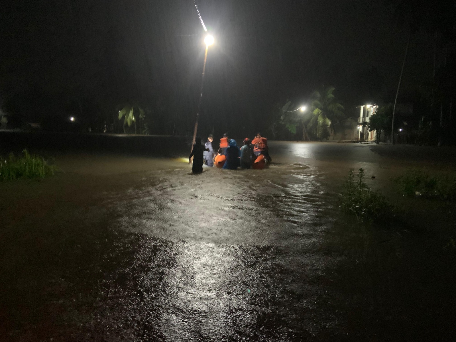
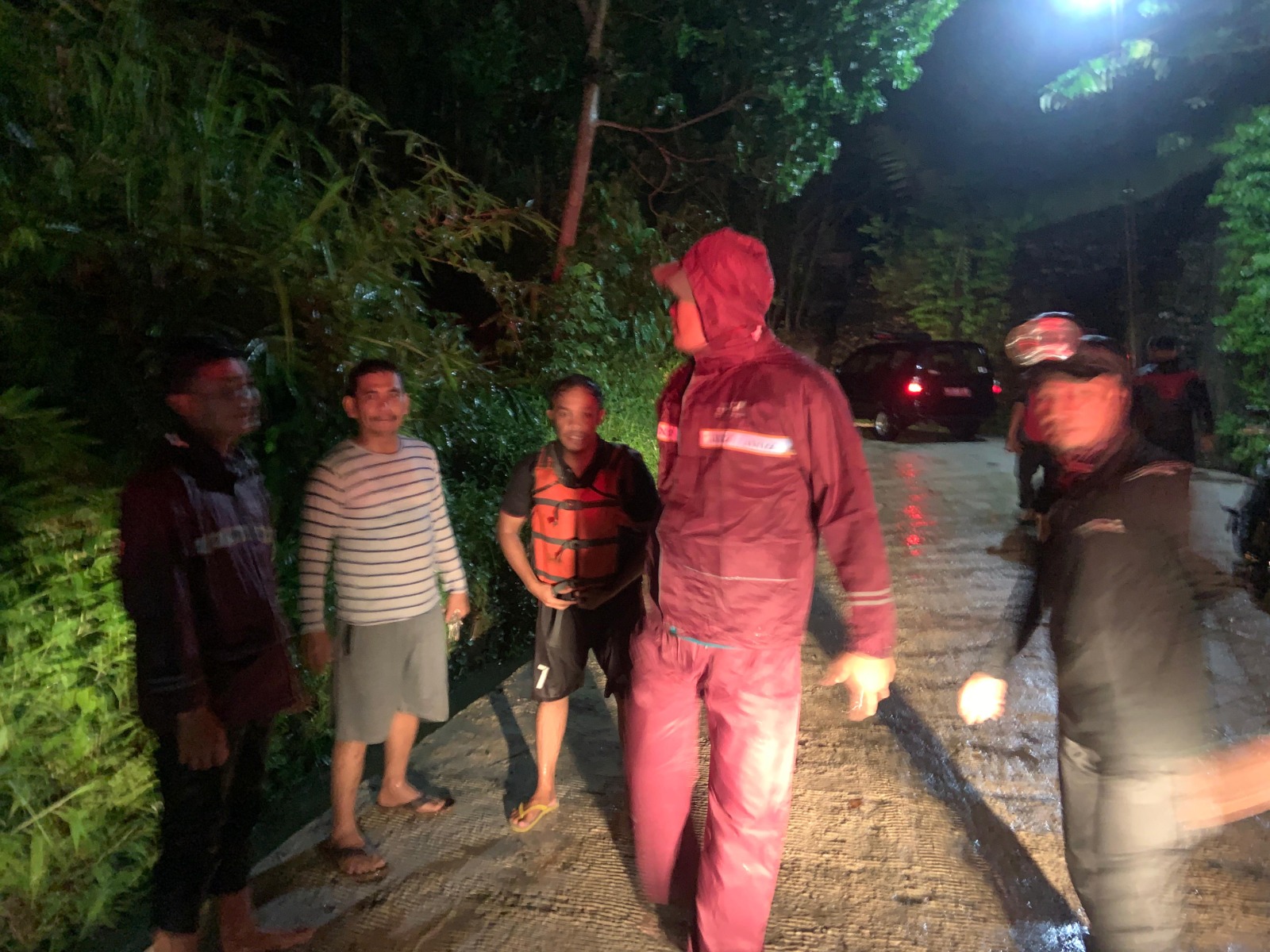
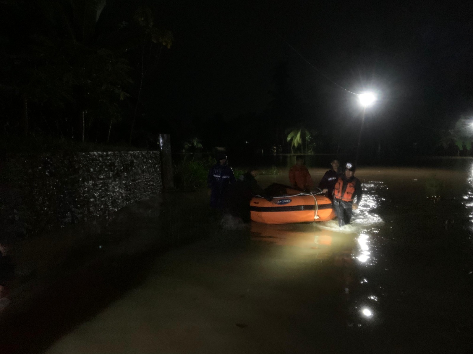
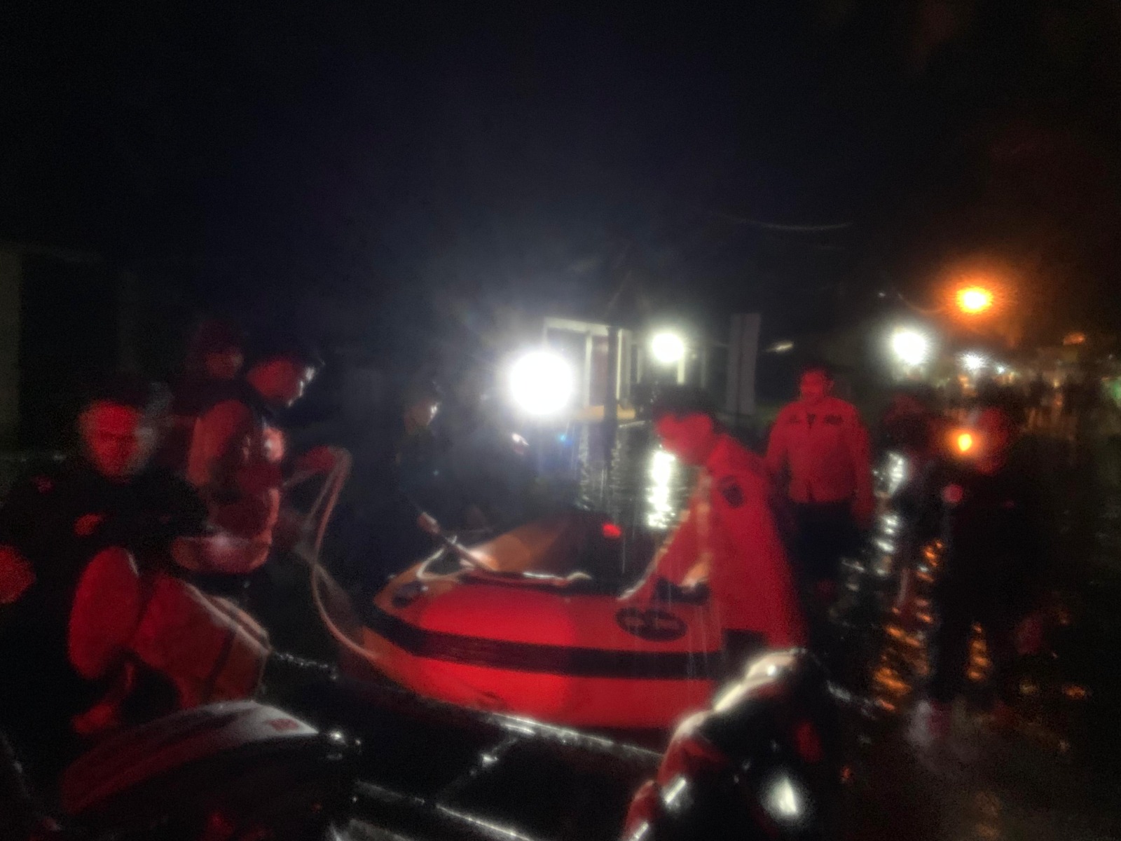
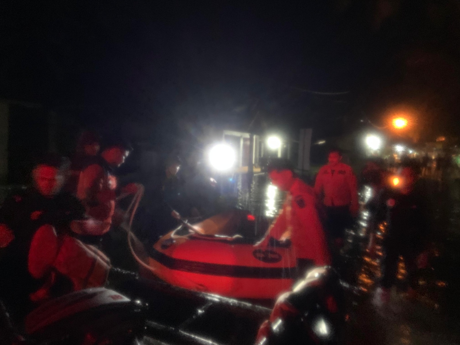
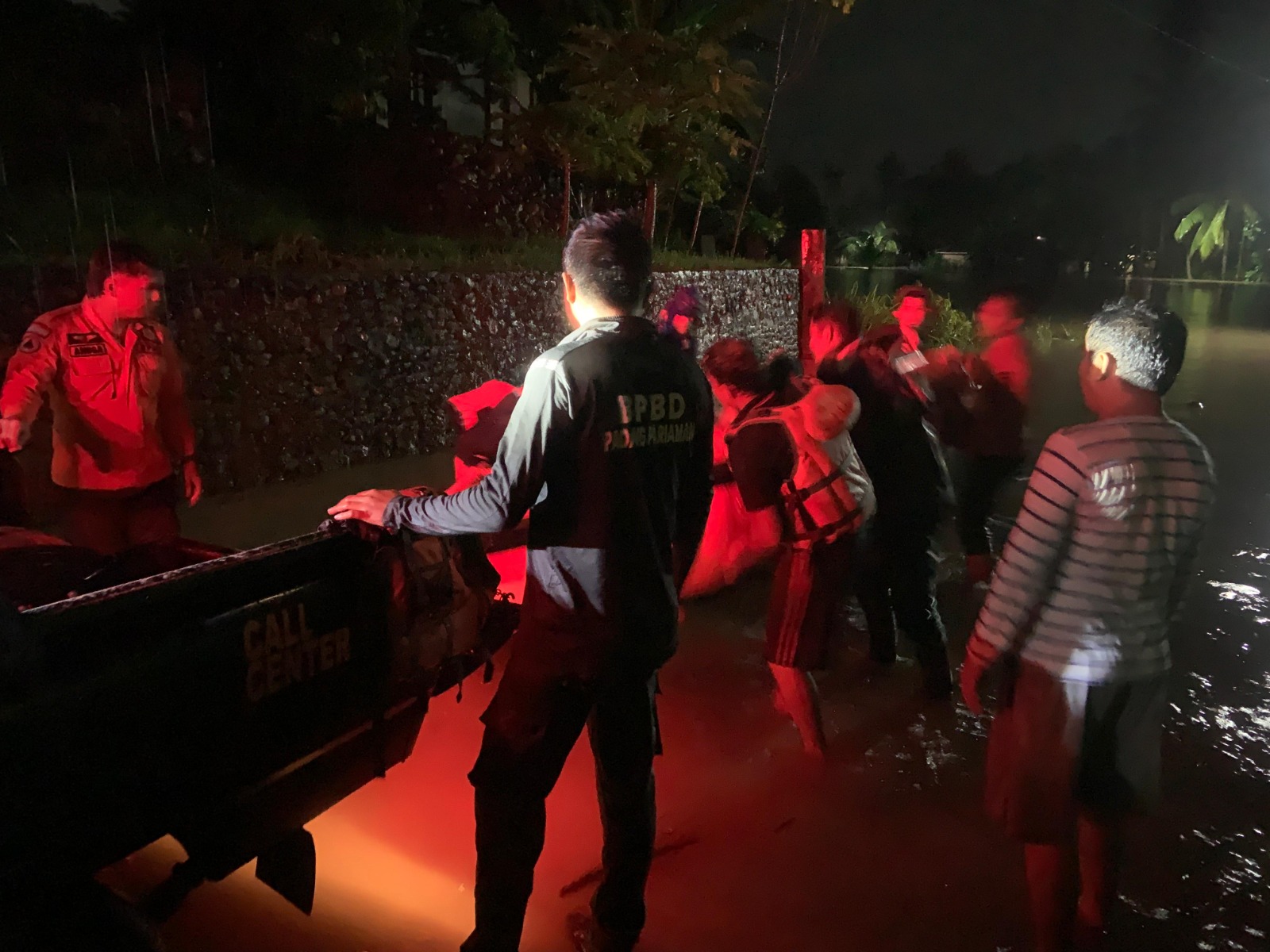
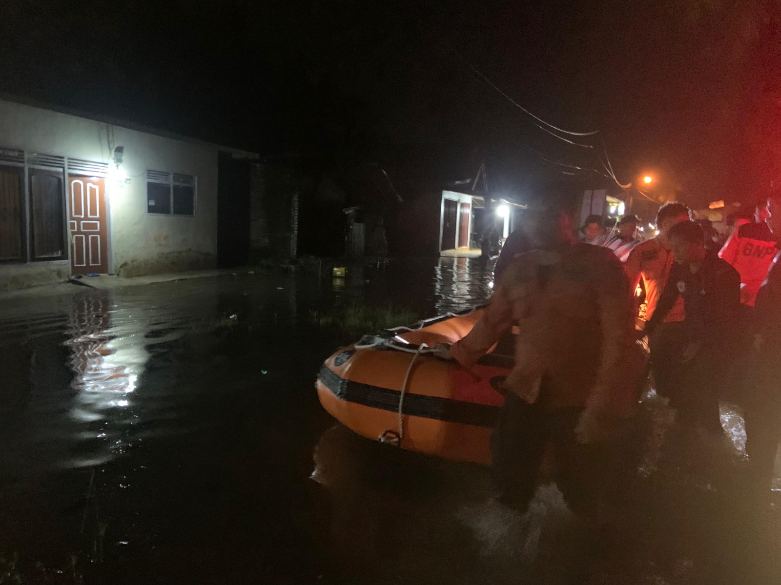
● Joint teams evacuate flood-trapped residents
● The State Government instructed residents to evacuate to safer places
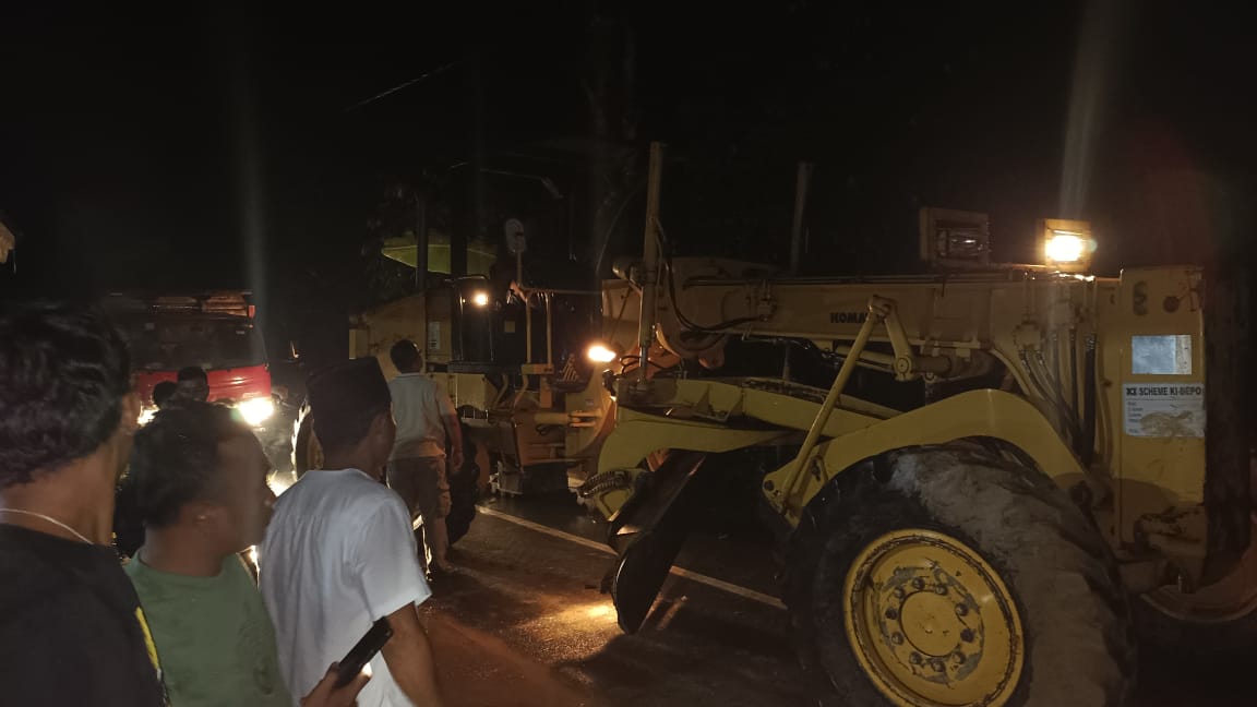
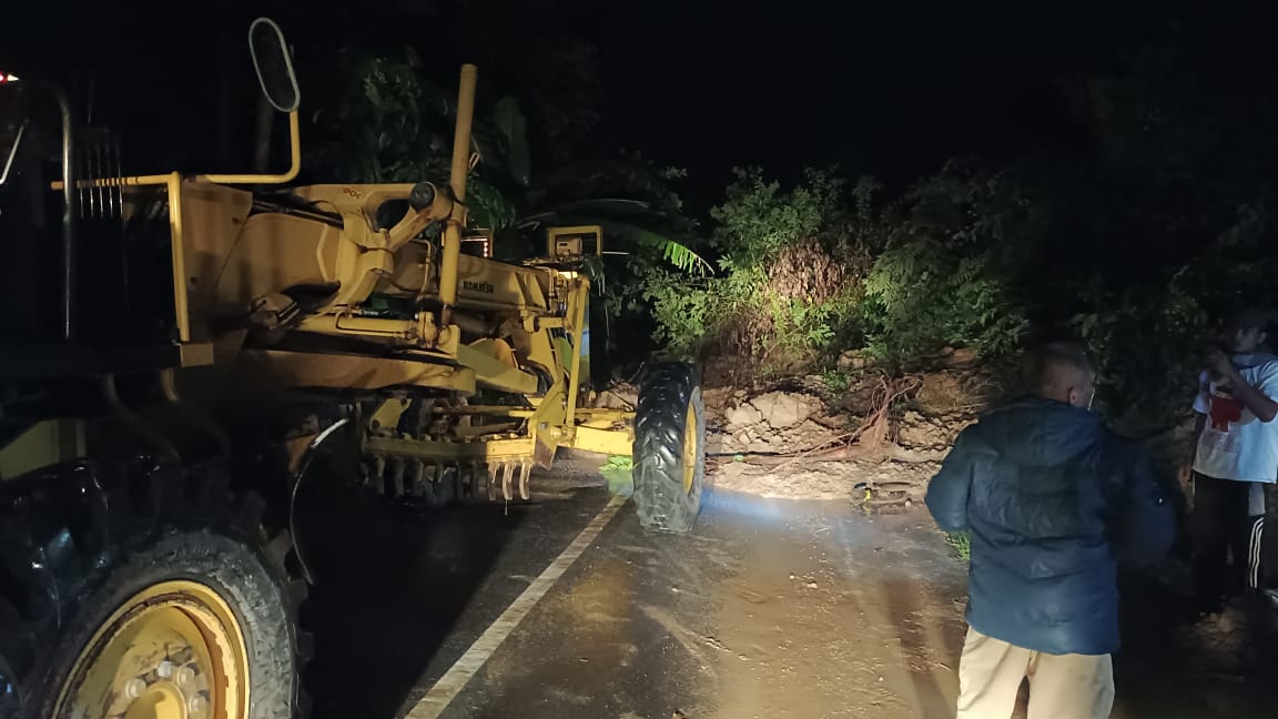
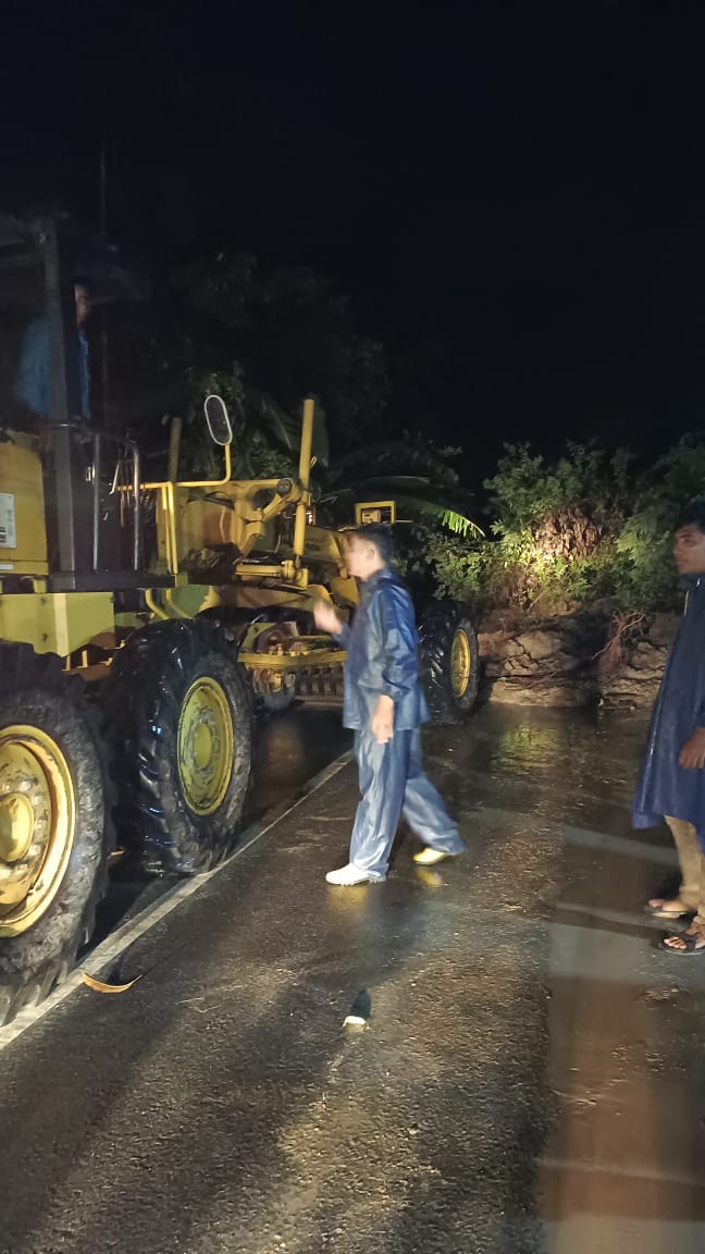
● Conduct landslide material cleaning on the road body in District VII Koto (3 points) using heavy equipment
➢ Urgent Needs :
● Heavy Equipment
● Rubber Boat
● Ready Meals
● Blankets
● Common Kitchen
➢ Elements Involved:
● BPBD Padang Pariaman Regency
● Public Works Department
● TNI
● POLICE
● District Govt.
● State Govt.
● Local Residents
➢ Latest Condition :
● Some areas are still battered by moderate to heavy rain
● Cleaning of roads in District VII Koto is still ongoing
Source : Mr. Andri, Jerry, Veri Pusdalops BPBD Padang Pariaman Regency
Impact Statistic
0
Dead
0
Missing
0
Injured
4.4K
Affected Person
480
Displaced
External Video
News
Human SADDD
- Dead -
- Missing -
- Injured -
- Affected Person 4,411
- Affected Family 1,102
- Internaly Displaced People 480
- Refugees -
- Evacuation Center (in Country) -
- Evacuation Center (out Of Country) -
House
- Affected Houses 1,615
- Damage Partial 2
- Totally Damage -
Infrastructure
- Bridges -
- Number of Roads 2
- Road Distance (km) -
Public
- Schools -
- Health -
- Government Office / Public Facilities -
- Settlements -
- Worship Places -
- Others -
General
Cost
- Local Currency -
- Cost of Damages -
- Cost of Damages (USD) -
- Cost of Assistance -
- Cost of Assistance (USD) -
Agricultural
- Rice Field -
- Other Crops -
- Fish Ponds -
- Cattle -
- Poultries -
- Livestock -
Relevant Disasters
The ASEAN Disaster Information Network (ADINet) is a repository of information concerning hazards and disasters that have happened in the region. The platform is open for public, which means that the public can submit information about any hazard and disaster to the AHA Centre. Thereafter, the AHA Centre will verify and validate any submitted information to ensure the accuracy of the data inputs. The AHA Centre can also add new information when relevant and as necessary. ADINet has been recording disaster information in the region since the AHA Centre was operational in 2012.

Supported by :