Indonesia, Flooding and Landslides in Aceh Tengah (Aceh)
Oct 02, 2024 00:00
Oct 07, 2024 20:07
Location
Coordinate:
4.5300690875292, 96.858994479969
Administrative:
Aceh, Indonesia
Affected Area:
Aceh
Hazard
Main : Flood- Inundated Area (km) = -
- Maximum Flood Depth (cm) = -
Description
➢ Chronology:
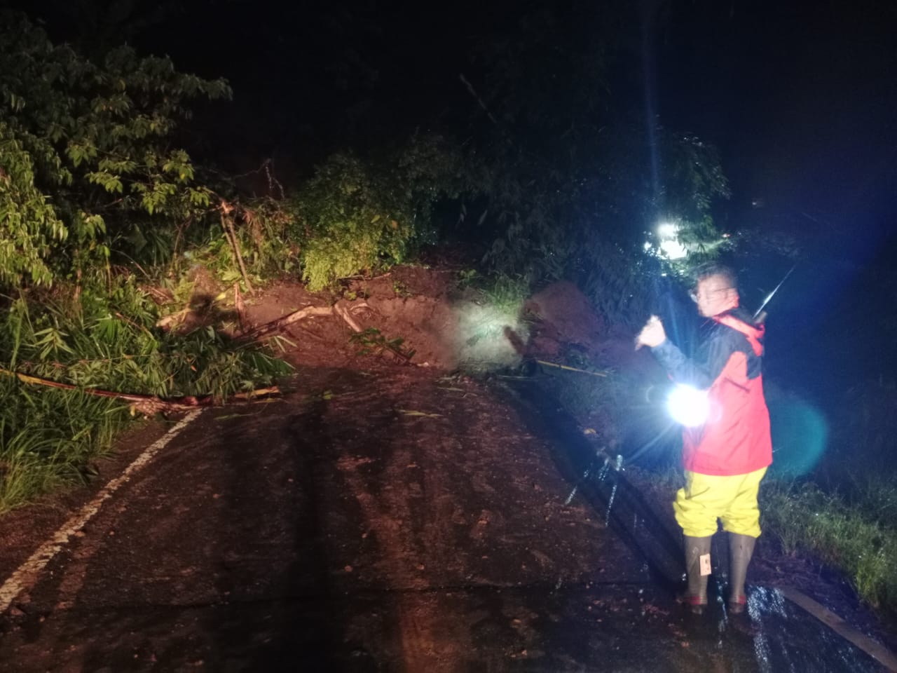
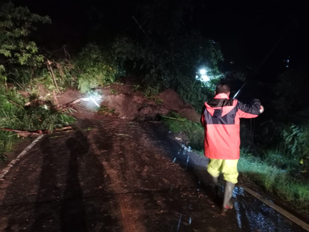
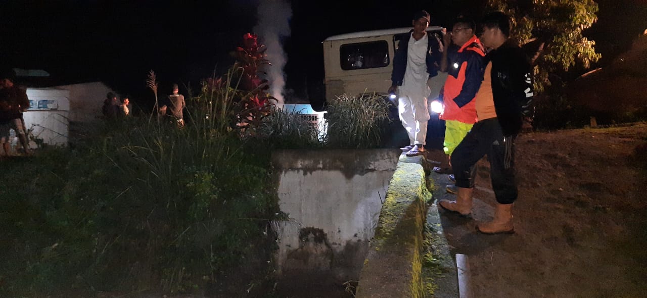
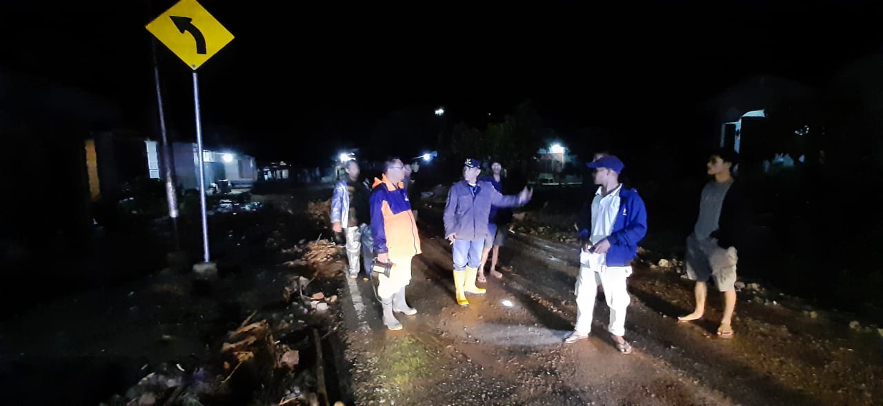
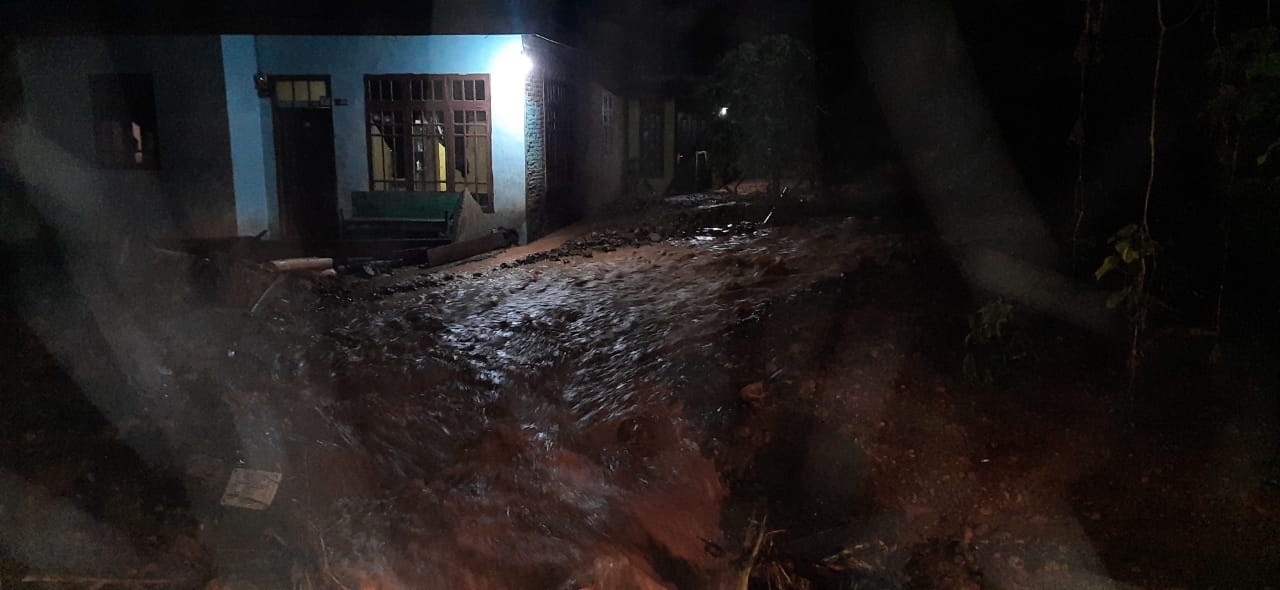
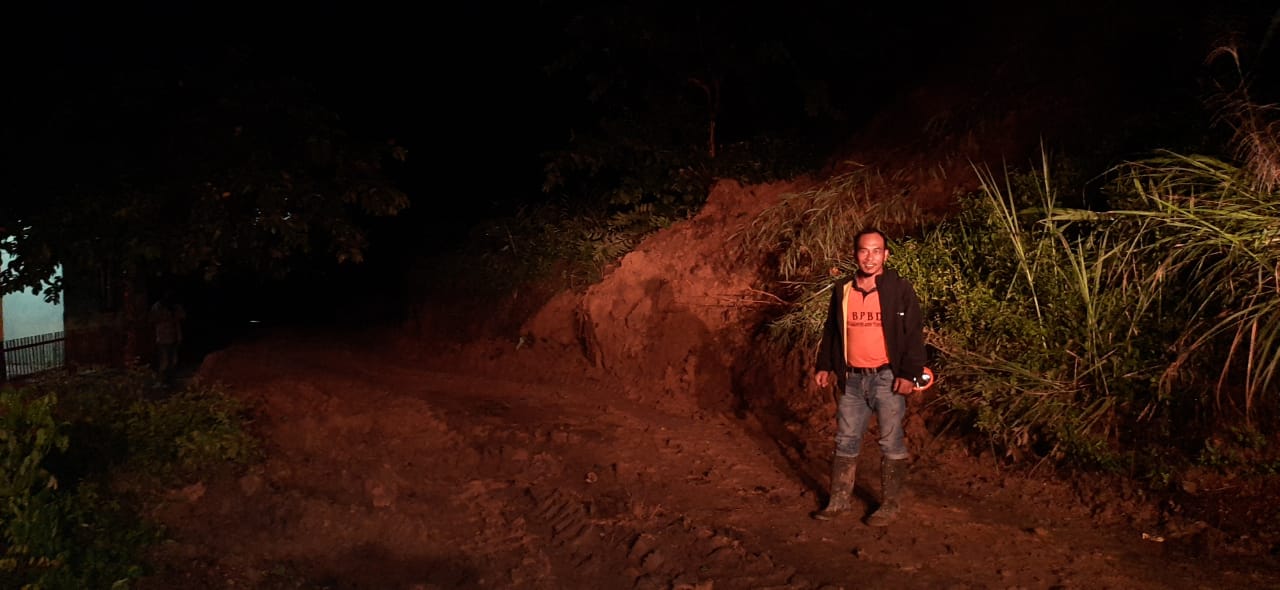
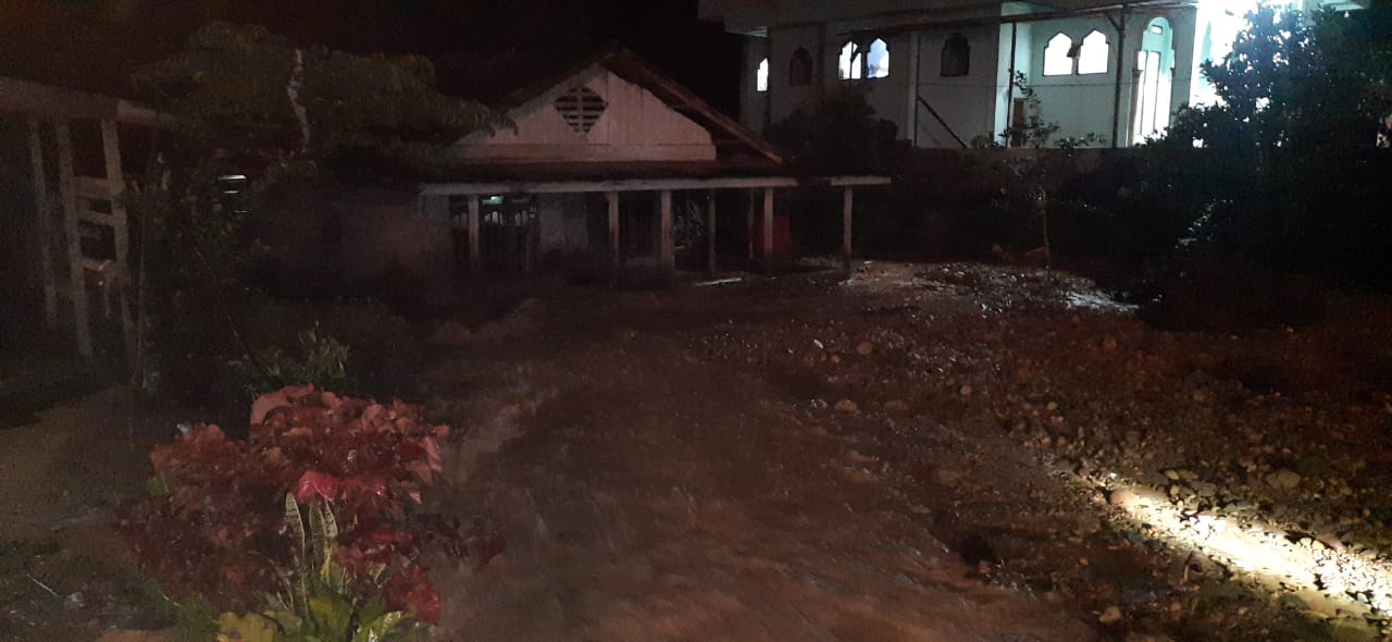
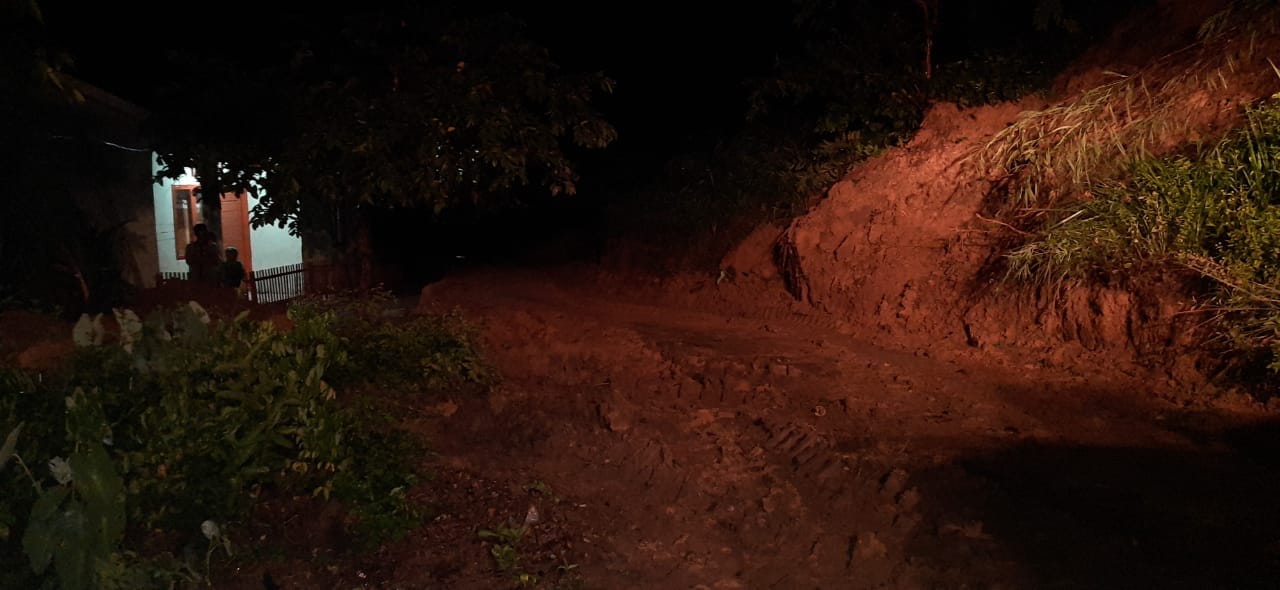
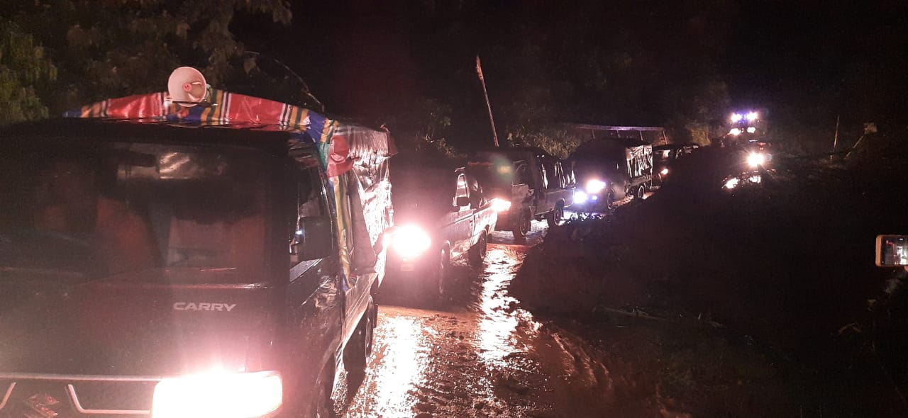
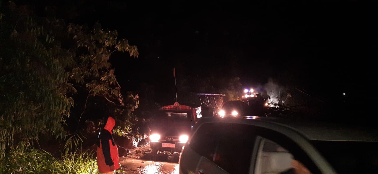
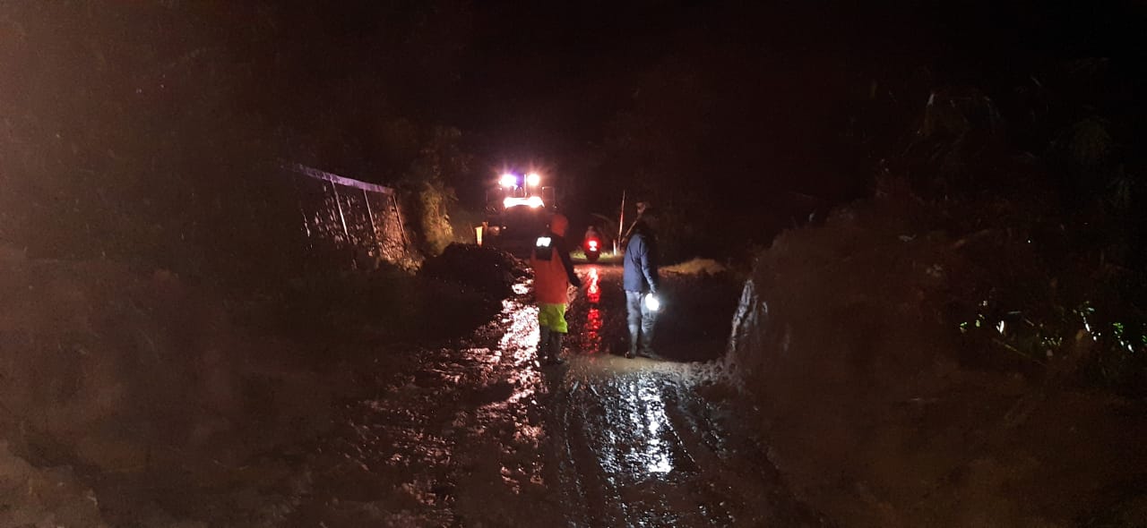
As a result of heavy rain that continued from afternoon to evening on October 2, 2024, in the Central Aceh Regency area, flash floods and landslides occurred that carried wood, mud and rock materials in several villages in Rusip Antara District.
➢ Location:
● Rusip Antara District
- Pilar Wih Kiri Village
- Pantan Tengah Village
- Atu Singkih Village
- Rusip Village
- Lut Jaya Village, Dusun Tiga
- Arul Pertik Village
- Mekar Maju Village
➢ Casualties: in data collection
➢ Material Losses:
● 62 houses submerged
● 1 house damaged
● several roads closed
➢ Efforts:
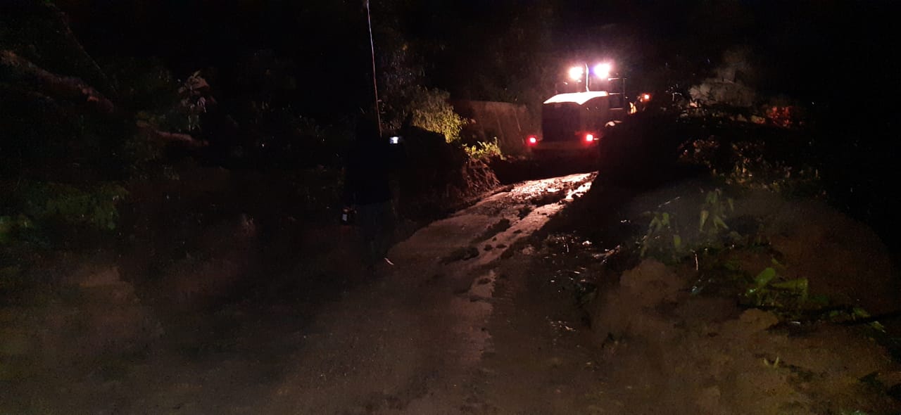
● BPBD Aceh Tengah is deploying a team, TRC personnel and 1 wheel loader heavy equipment to the location of the incident to clean up the landslide material covering the road.
● The team is collecting data on the damage/impacts caused by the disaster.
➢ Current Conditions:
● National road access has been passable since 03:00 in the morning, while the cleaning of flash flood material that submerged people's houses and blocked water flow, will be continued this morning by deploying excavators and the Fire Brigade.
Source: Mr. Iwan Ilham Abadi, Head of Darlog BPBD Central Aceh Regency
Impact Statistic
0
Dead
0
Missing
0
Injured
248
Affected Person
0
Displaced
External Video
News
Human SADDD
- Dead -
- Missing -
- Injured -
- Affected Person 248
- Affected Family 62
- Internaly Displaced People -
- Refugees -
- Evacuation Center (in Country) -
- Evacuation Center (out Of Country) -
House
- Affected Houses 62
- Damage Partial 1
- Totally Damage -
Infrastructure
- Bridges -
- Number of Roads -
- Road Distance (km) -
Public
- Schools -
- Health -
- Government Office / Public Facilities -
- Settlements -
- Worship Places -
- Others -
General
Cost
- Local Currency -
- Cost of Damages -
- Cost of Damages (USD) -
- Cost of Assistance -
- Cost of Assistance (USD) -
Agricultural
- Rice Field -
- Other Crops -
- Fish Ponds -
- Cattle -
- Poultries -
- Livestock -
Relevant Disasters
The ASEAN Disaster Information Network (ADINet) is a repository of information concerning hazards and disasters that have happened in the region. The platform is open for public, which means that the public can submit information about any hazard and disaster to the AHA Centre. Thereafter, the AHA Centre will verify and validate any submitted information to ensure the accuracy of the data inputs. The AHA Centre can also add new information when relevant and as necessary. ADINet has been recording disaster information in the region since the AHA Centre was operational in 2012.

Supported by :