Indonesia, Flood in Lamandau (Central Kalimantan)
Sep 10, 2024 01:30
Sep 15, 2024 17:27
Location
Coordinate:
-1.8004761752159, 111.40662519148
Administrative:
Kalimantan Tengah, Indonesia
Affected Area:
Kalimantan Tengah
Hazard
Main : Flood- Inundated Area (km) = -
- Maximum Flood Depth (cm) = -
Description
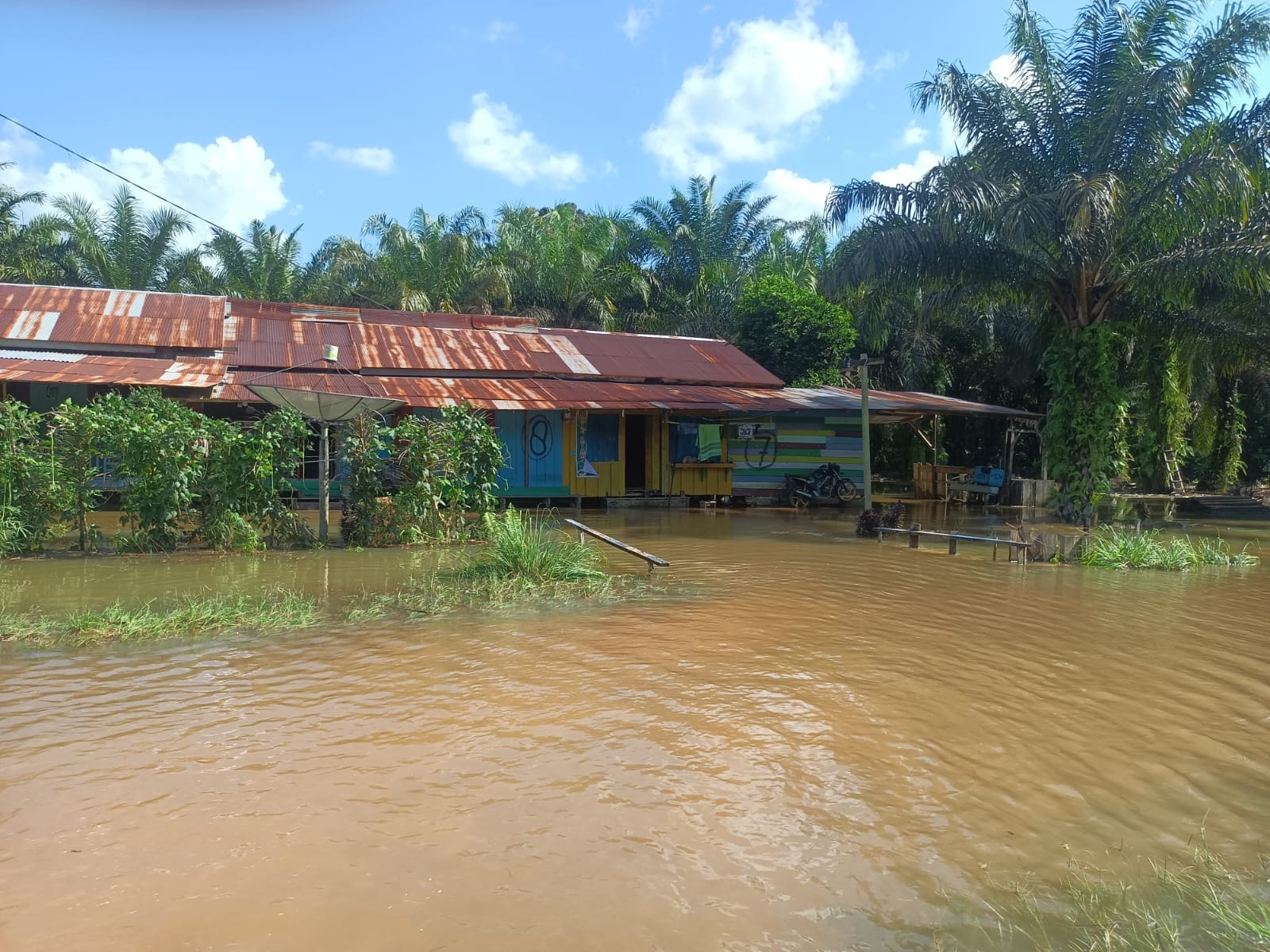
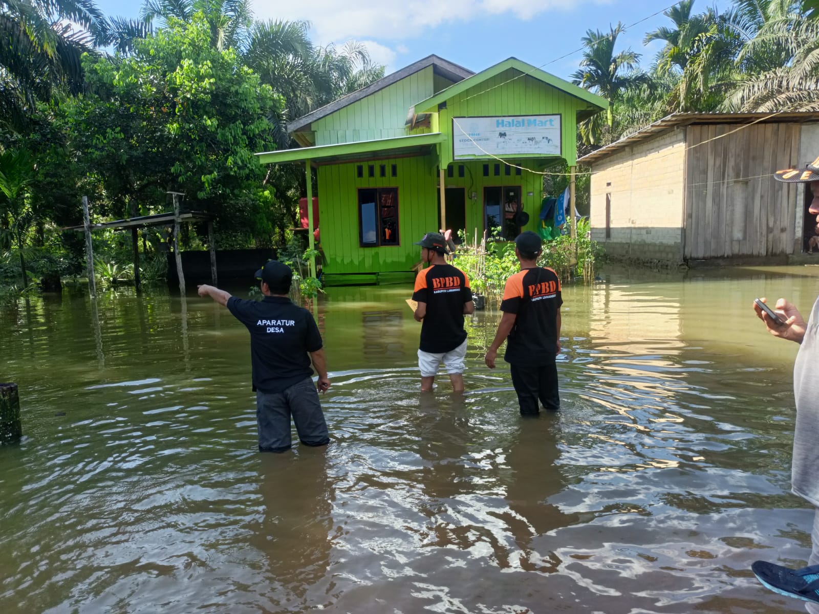
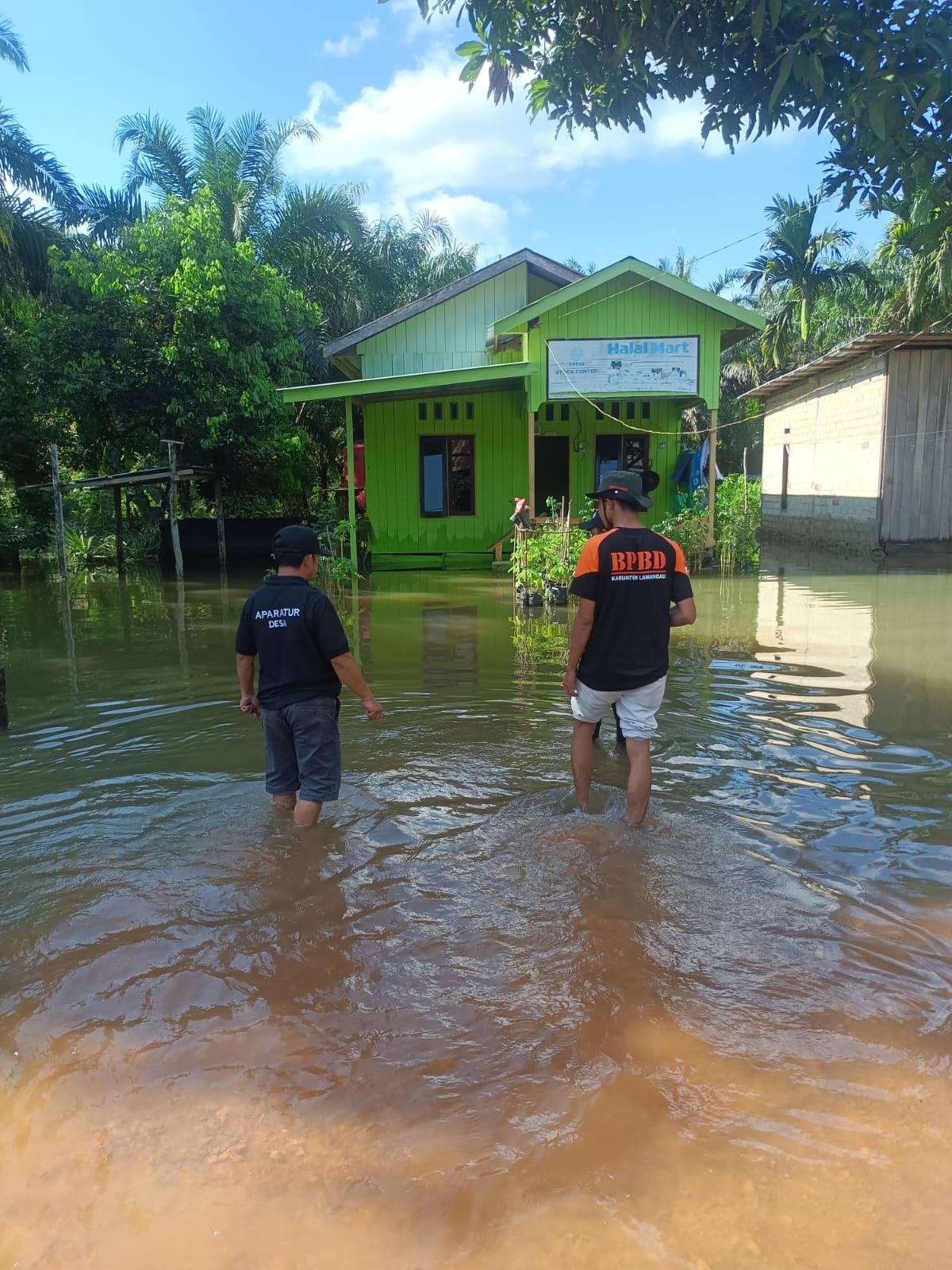
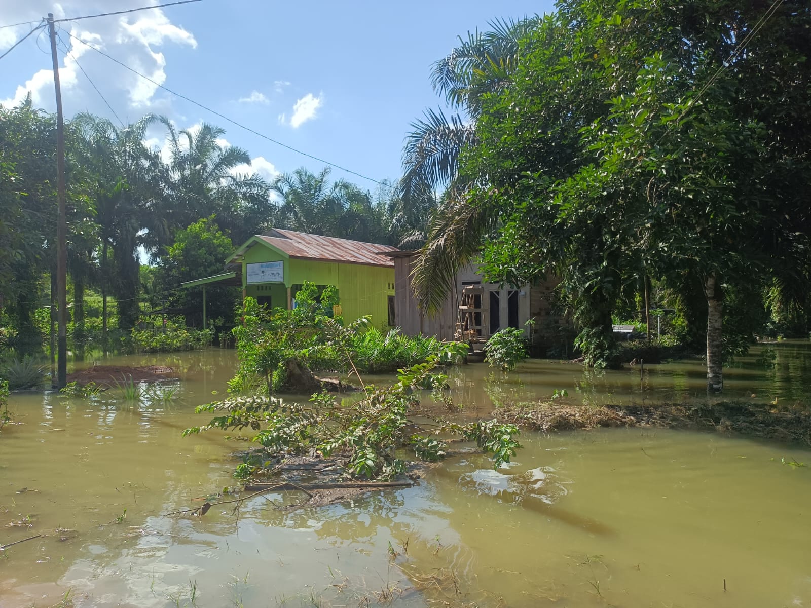
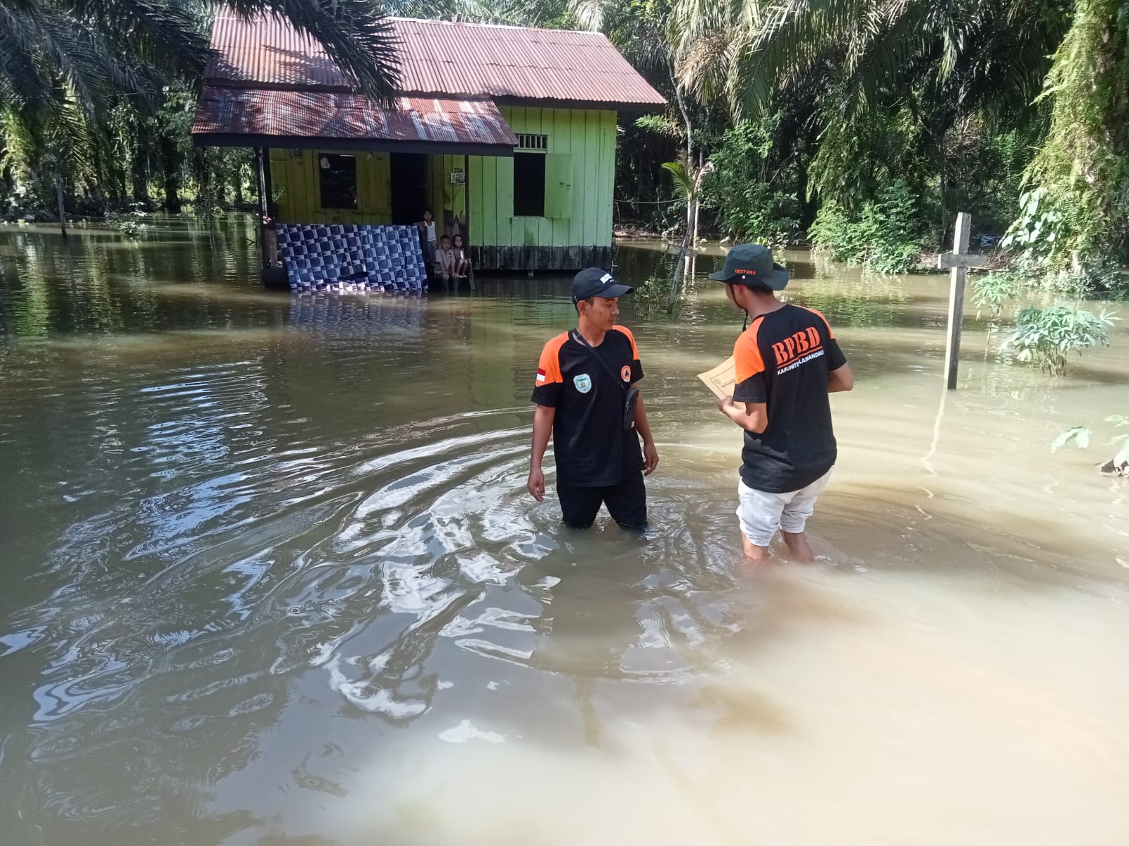
Flood in Lamandau Regency, Central Kalimantan Province
➢ Update: Thursday, September 12, 2024 at 19:27 WIB
➢ Chronology: Triggered by High Intensity Rain since the afternoon of September 10, 2024 at 01:30 WIB
➢ Location:
● Lamandau District
- Samu Jaya Village
- Sekoban Village
● Belantikan Raya District
- Tangga Batu Village
- Sungai Buluh Village
- Nanga Belantikan Village
- Batu Selip Village
- Bayat Village
- Belibi Village
● Menthobi Raya District
- Lubuk Hijau Village
● Bulik District
- Sungai Mentawa Village
- Bunut Village
➢ Casualties:
a. 363 families / 890 people affected with details:
● Bulik District 53 families / 189 people
- Sungai Mentawa Village: 50 families / 177 people
- Bunut Village: 3 families / 12 people
● Belantikan Raya District 250 families / 684 people
- Tangga Batu Village: 12 families / 35 people
- Belibi Village: 90 families / 271 people
- Sungai Buluh Village: 62 families / 178 people
- Nanga Belantikan Village: 62 families / 109 people
- Batu Selipi Village: 24 families / 91 people
● Lamandau District 60 families / 17 people:
- Samu Jaya Village: 53 families
- Sekoban 7 families / 17 people
b. 124 families / 349 people evacuated with details:
● Bulik District 2 families / 6 people
- Sungai Mentawa Village: 2 families / 6 people
- Belantikan Raya District 122 families / 343 people
- Belibi Village: 60 families / 165 people
- Sungai Buluh Village: 62 families / 178 people
- Nanga Belantikan Village: 13 families / 48 people
➢ Material Losses:
a. 9 houses affected with details:
● Belantikan Raya District 137 houses affected
- Belibi Village: 60 houses
- Sungai Buluh Village: 62 houses
- Nanga Belantikan Village: 15 houses
● Bulik 2 houses affected
- Ds. Sungai Mentawa: 2 houses
b. 1 bridge affected
c. 1414 Access Roads affected with details:
● Tangga Batu Village
- 3 Access Roads Connecting Tangga Batu Village (Each ±10m, ±10m & ±30m Water height ±160cm, ±150cm and ±200cm)
- 1 Access Road Main Tangga Batu Village (Length ±150, Depth ±80cm)
● Sungai Buluh Village
- 2 Access Roads Long Sungai Buluh Village (Length ±100M, ±20cm & ±15cm)
● Nanga Belantik Village
- 2 Access Roads Long Nanga Belantik Village (Length ±150cm, Depth ±60cm & Length ±200M Depth ±80cm)
● Samu Jaya Village
- 1 Access Road Samu Village Jaya (Length ±25 M, Depth 80 Cm)
● Sekoban Village
- 2 Access Roads (1 access road within the village length ±150 M depth
45 cm & 1 connecting road Sekoban-Tapin Bini Length ±200 M
depth 150 cm)
● Sungai Mentawa Village
- 1 access road within the village Length ±350m (Water height ±30-40 cm)
- 1 access road connecting Bunut-Mentawa Length ±70 m Water height
±40 cm)
● Bunut Village
- 1 access road connecting (Length ±60 m Water height ±50 cm)
Connecting Sekoban-Tapin Bini Length ±200M depth 150
cm)
➢ Efforts:
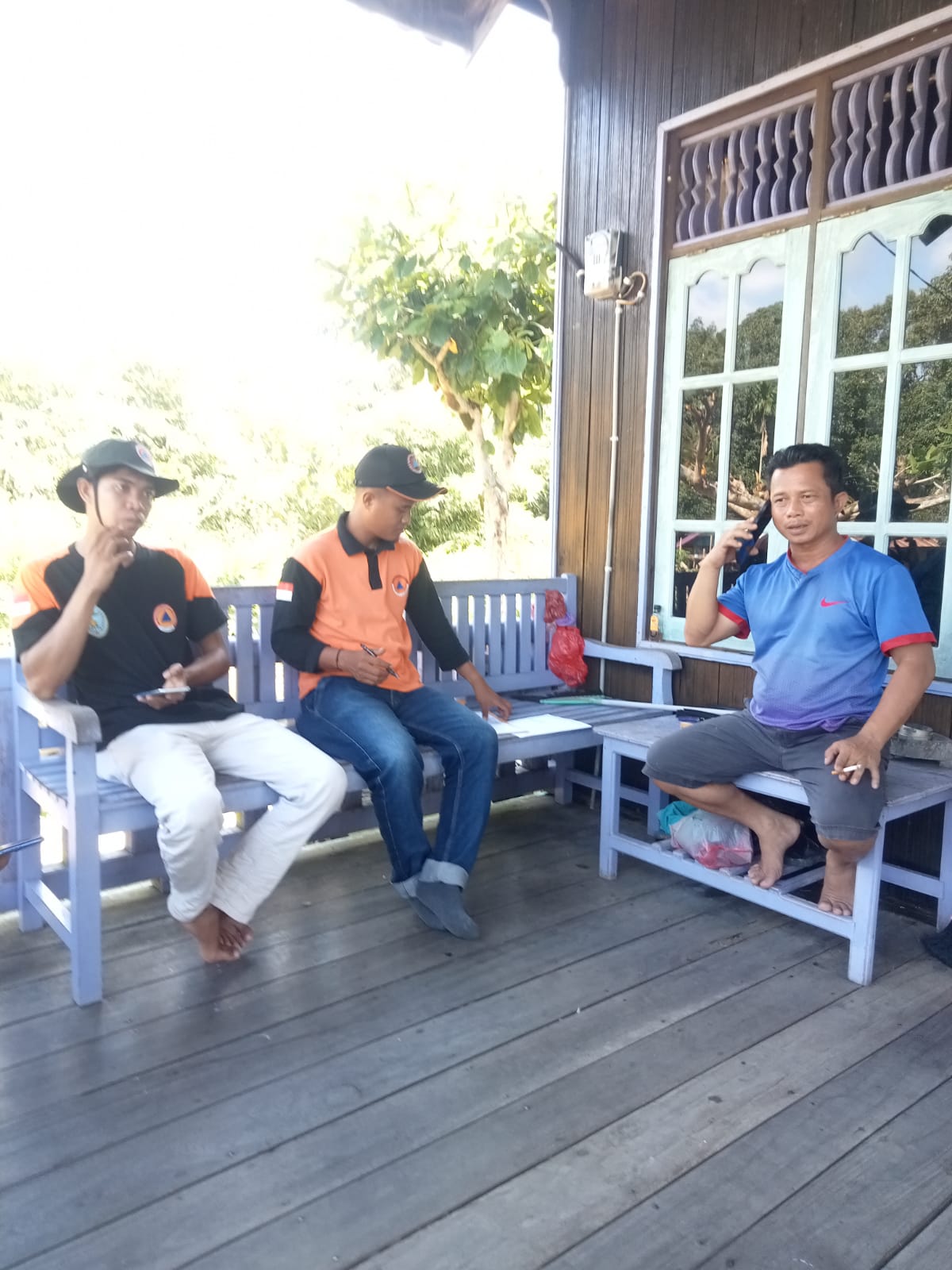
● BPBD through TRC-PB went to the scene, carried out monitoring and data collection activities of affected victims
➢ Current Condition:
● Water gradually recedes
Source: Mr. Hendikel, Head of BPBD, Lamandau Regency
*
➢ Chronology: Triggered by High Intensity Rain
➢ Location:
● Lamandau District
- Samu Jaya Village
➢ Casualties:
● 52 families affected
➢ Material Losses:
● 52 houses affected
➢ Efforts:
● BPBD through TRC-PB went to the scene, carried out monitoring activities and recorded data on affected victims
➢ Current Condition:
● water gradually recedes
Source: Mr. Hendikel, Head of BPBD Lamandau Regency
Impact Statistic
0
Dead
0
Missing
0
Injured
1.3K
Affected Person
723
Displaced
External Video
News
Human SADDD
- Dead -
- Missing -
- Injured -
- Affected Person 1,289
- Affected Family 492
- Internaly Displaced People 723
- Refugees -
- Evacuation Center (in Country) -
- Evacuation Center (out Of Country) -
House
- Affected Houses 242
- Damage Partial -
- Totally Damage -
Infrastructure
- Bridges 1
- Number of Roads 14
- Road Distance (km) -
Public
- Schools 5
- Health -
- Government Office / Public Facilities 4
- Settlements -
- Worship Places -
- Others -
General
Cost
- Local Currency -
- Cost of Damages -
- Cost of Damages (USD) -
- Cost of Assistance -
- Cost of Assistance (USD) -
Agricultural
- Rice Field -
- Other Crops -
- Fish Ponds -
- Cattle -
- Poultries -
- Livestock -
Relevant Disasters
The ASEAN Disaster Information Network (ADINet) is a repository of information concerning hazards and disasters that have happened in the region. The platform is open for public, which means that the public can submit information about any hazard and disaster to the AHA Centre. Thereafter, the AHA Centre will verify and validate any submitted information to ensure the accuracy of the data inputs. The AHA Centre can also add new information when relevant and as necessary. ADINet has been recording disaster information in the region since the AHA Centre was operational in 2012.

Supported by :