Indonesia, Flood in Gresik Regency (East Java)
Feb 18, 2024 13:00
Feb 21, 2024 09:22
Location
Coordinate:
-6.9275376791689, 112.55824458629
Administrative:
Jawa Timur, Indonesia
Affected Area:
Hazard
Main : Flood- Inundated Area (km) = -
- Maximum Flood Depth (cm) = -
Description
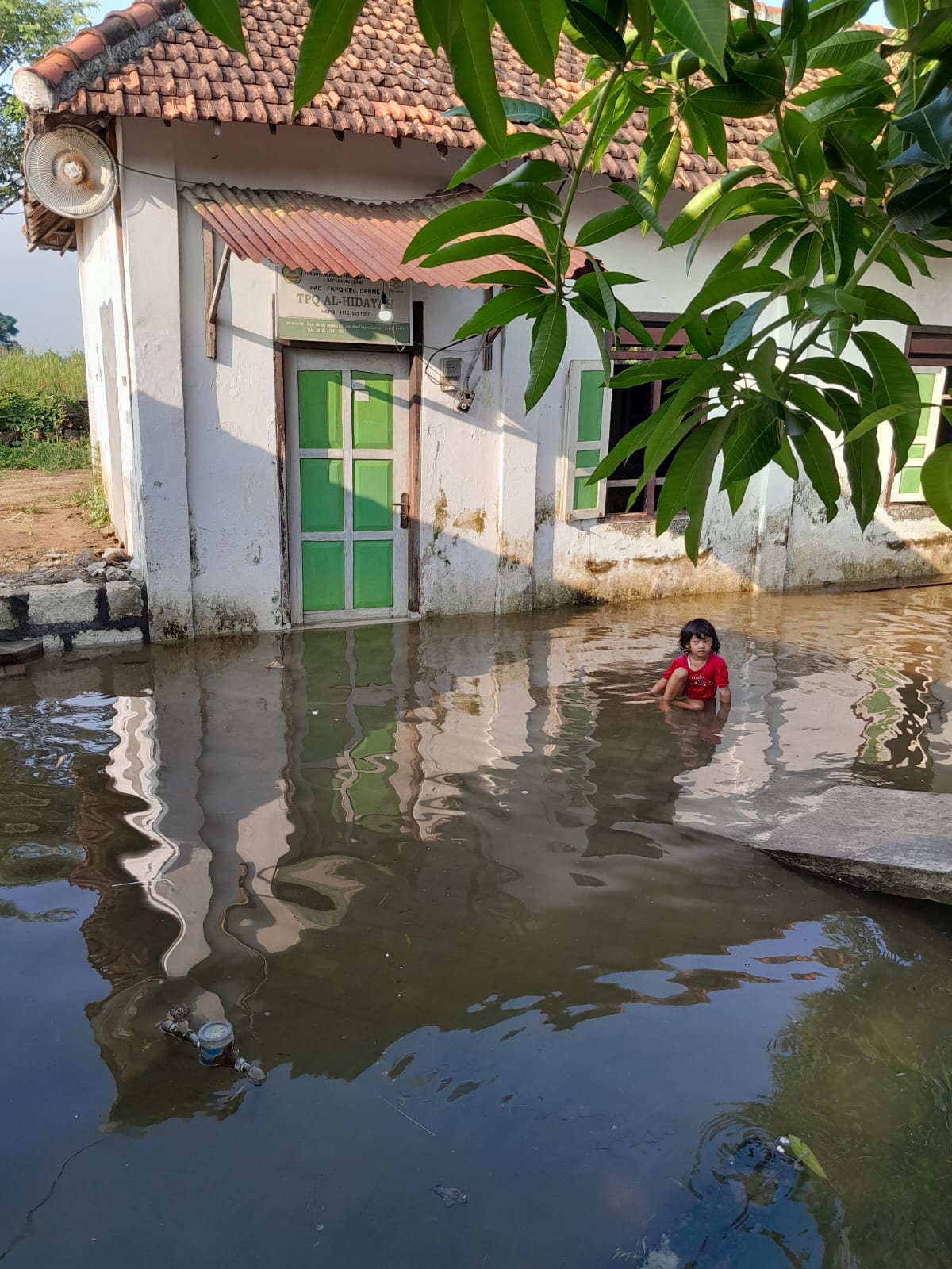
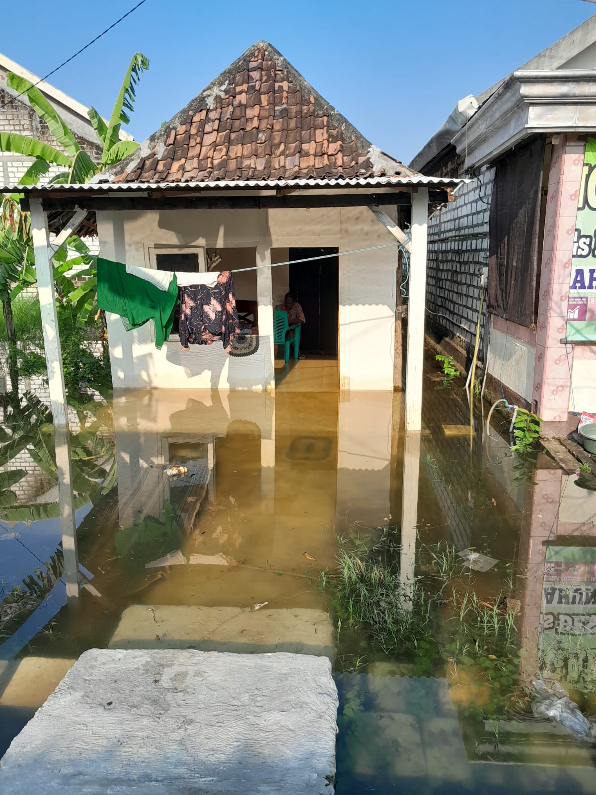
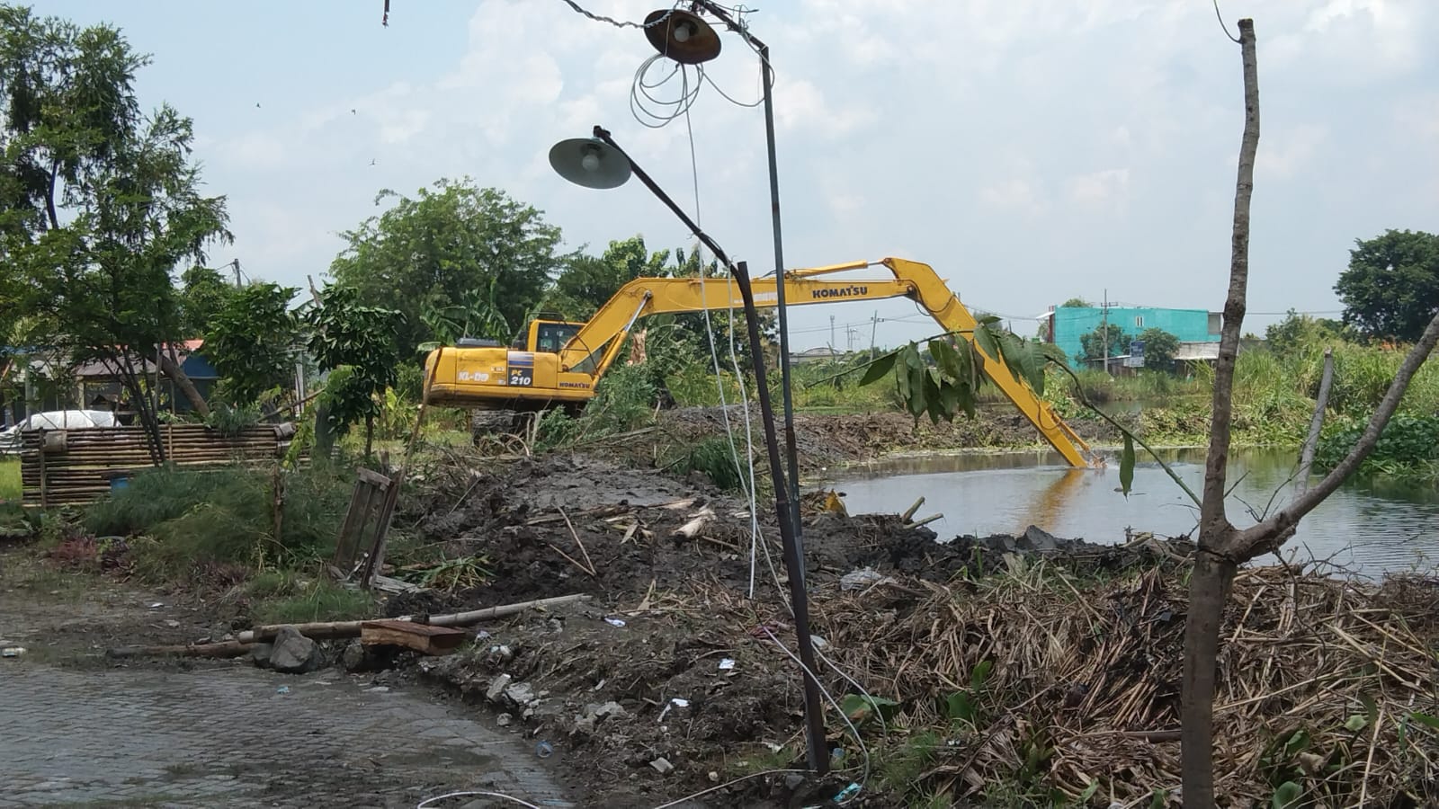
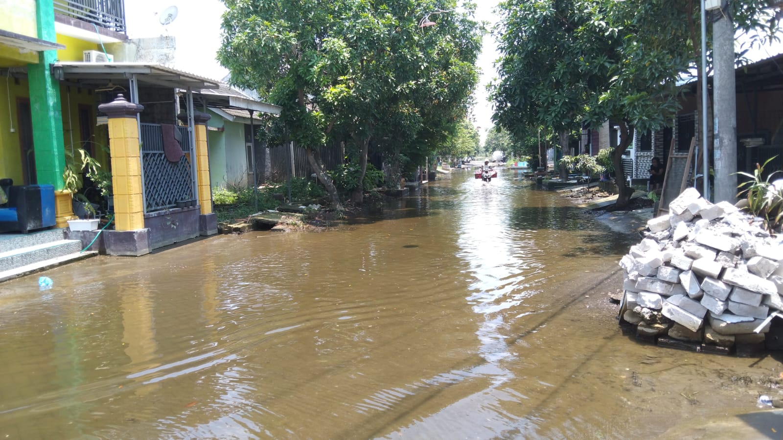
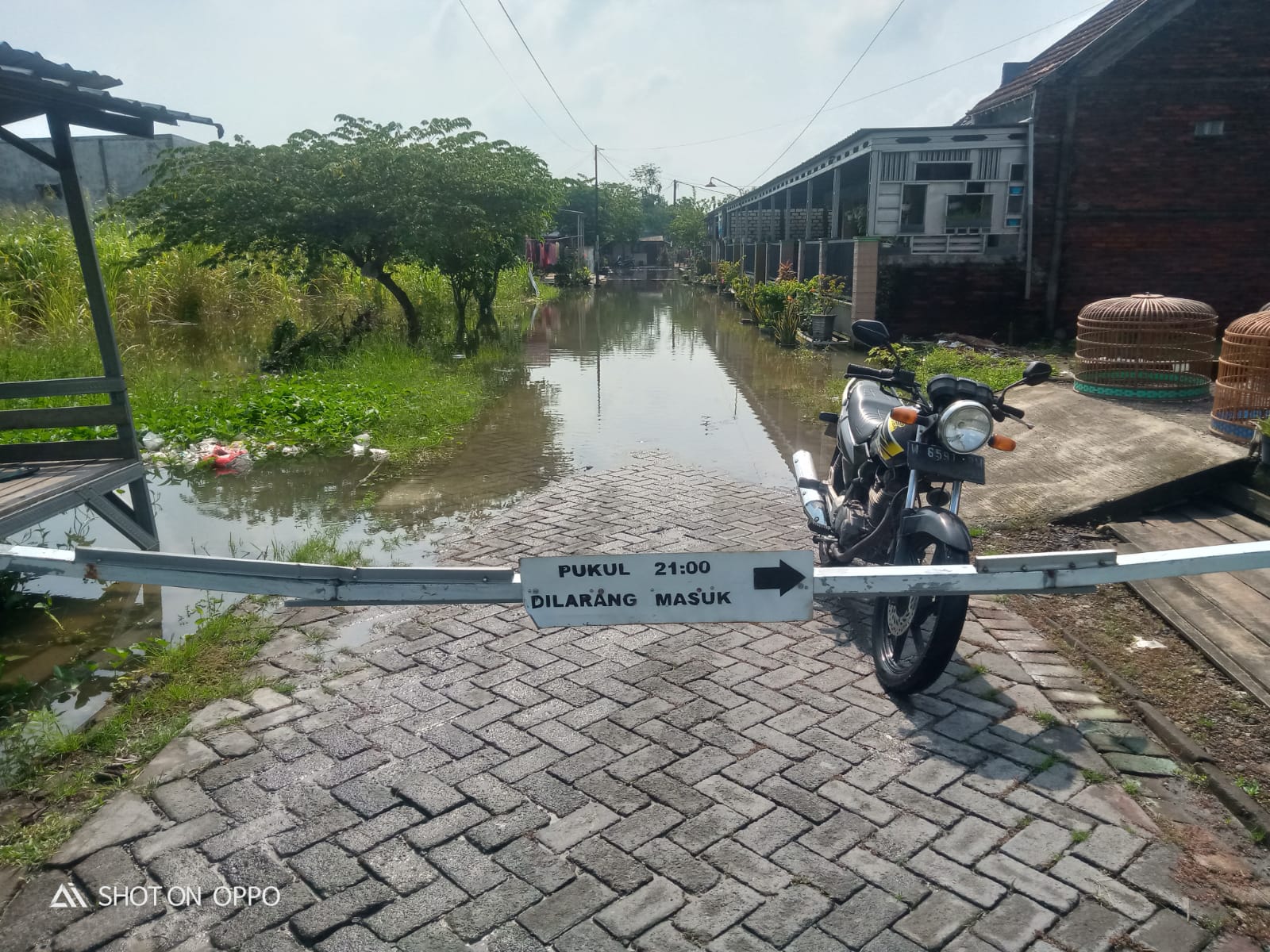
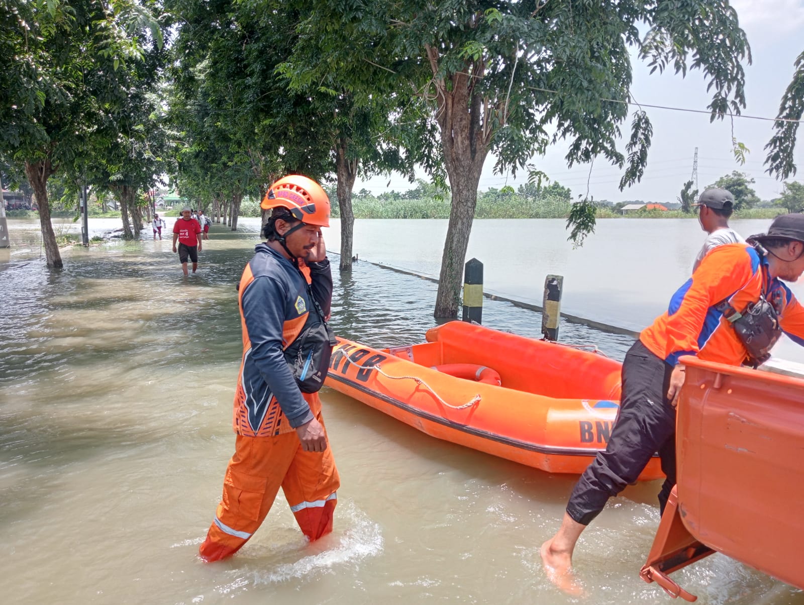
➢ Chronology: Triggered by high intensity rain on Sunday 18 February 2024 at 13.00 WIB
➢ Location:
● Benjeng District
- Sumber Delik Village
- Sedapurklagen Village
- Lundo Village
- Kedungrukem Village
- Dermo Village
- Munggugianti Village
- Bulurejo Village
● Menganti District
- Boboh Village
● Cerme District
- Dadapkuning Village
- Morowudi Village
- Dungus Village
- Gurananyar Village
- Iker-Iker Village
- Pandu Village
● Kebomas District
- Kedanyang Village
➢ Casualties:
● 292 families affected
➢ Material Losses:
● ± 292 housing units affected
● 100 hectares of rice fields affected
● 130 hectares of pond land affected
● 12 public facilities were affected
● TMA 10 - 45 cm
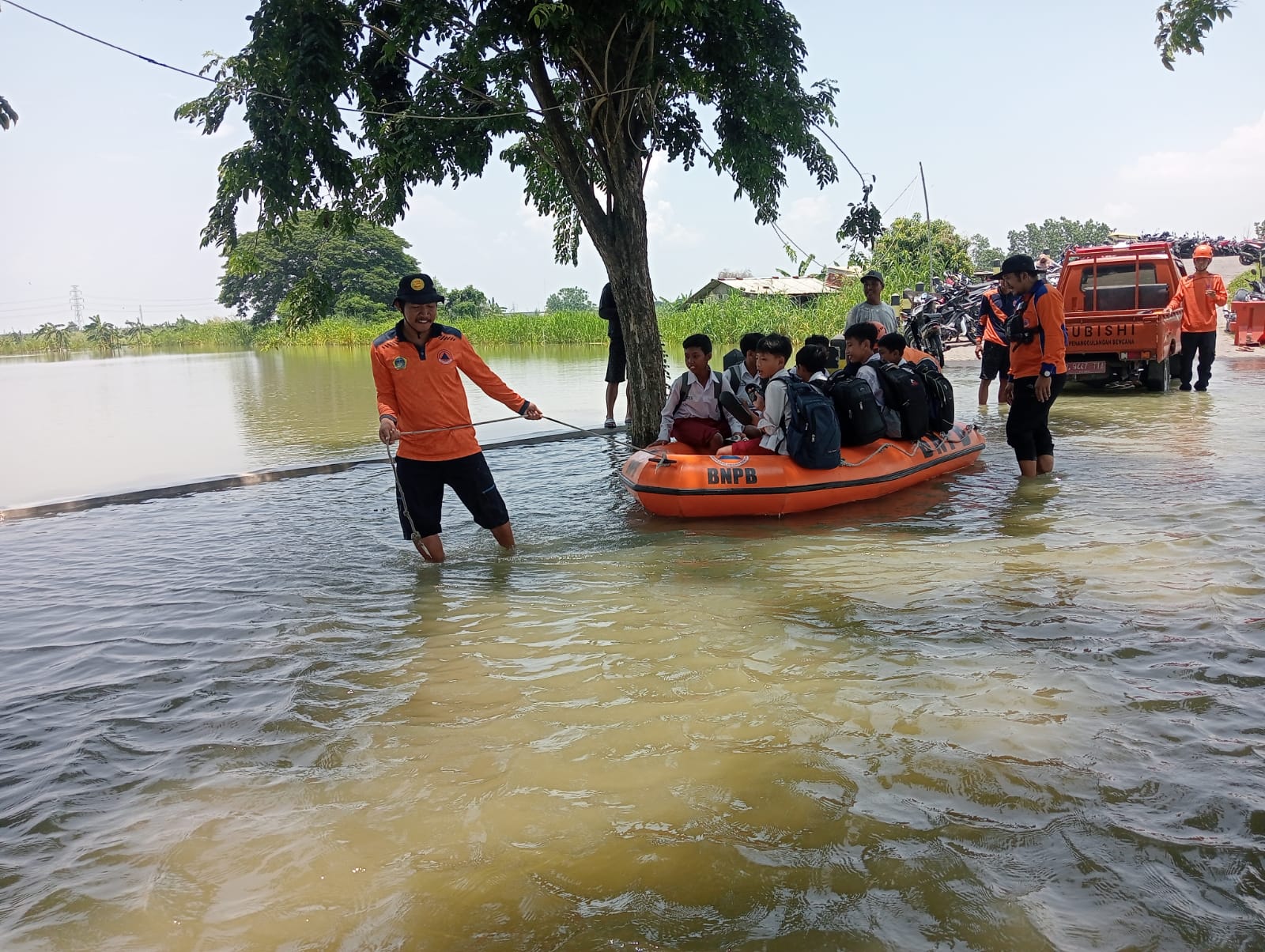
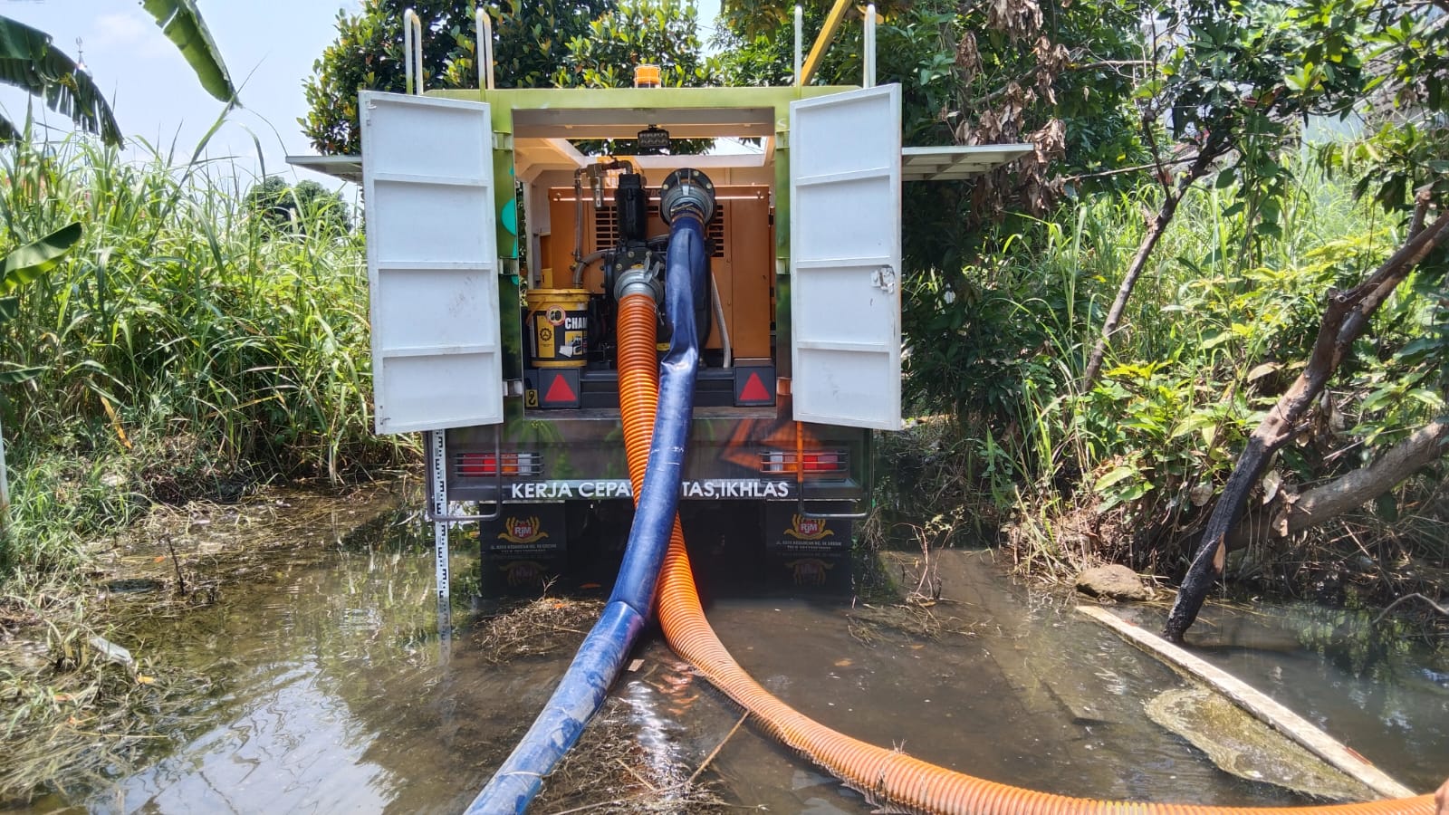
➢ Effort:
● Assessment of affected locations
● Monitoring flood development
● Alert personnel and evacuation equipment
● Coordination with the Leadership Coordination Forum in the local District
● Coordination with affected village officials
● Coordination with Gresik Regency DPUTR.
● Coordination with BBWS Bengawan Solo.
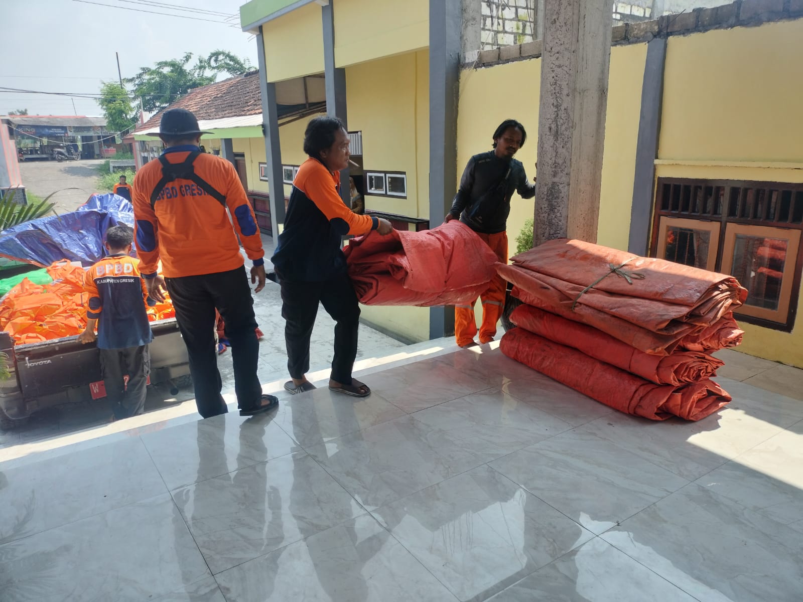
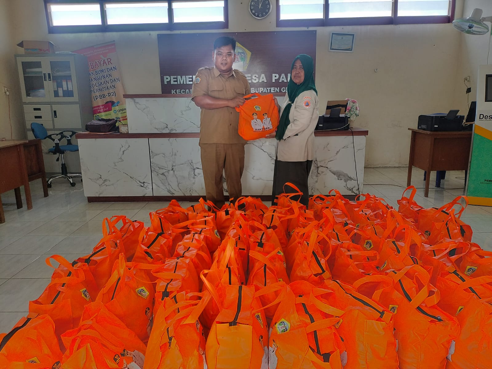
● Providing Logistics Assistance to affected areas
➢ Current Conditions:
● The flood has partially receded
Source: Pusdalops BPBD Gresik
Impact Statistic
0
Dead
0
Missing
0
Injured
1.2K
Affected Person
0
Displaced
External Video
News
Human SADDD
- Dead -
- Missing -
- Injured -
- Affected Person 1,168
- Affected Family 292
- Internaly Displaced People -
- Refugees -
- Evacuation Center (in Country) -
- Evacuation Center (out Of Country) -
House
- Affected Houses 292
- Damage Partial -
- Totally Damage -
Infrastructure
- Bridges -
- Number of Roads -
- Road Distance (km) -
Public
- Schools -
- Health -
- Government Office / Public Facilities -
- Settlements -
- Worship Places -
- Others 12
General
Cost
- Local Currency -
- Cost of Damages -
- Cost of Damages (USD) -
- Cost of Assistance -
- Cost of Assistance (USD) -
Agricultural
- Rice Field 100.00
- Other Crops 130.00
- Fish Ponds -
- Cattle -
- Poultries -
- Livestock -
Relevant Disasters
The ASEAN Disaster Information Network (ADINet) is a repository of information concerning hazards and disasters that have happened in the region. The platform is open for public, which means that the public can submit information about any hazard and disaster to the AHA Centre. Thereafter, the AHA Centre will verify and validate any submitted information to ensure the accuracy of the data inputs. The AHA Centre can also add new information when relevant and as necessary. ADINet has been recording disaster information in the region since the AHA Centre was operational in 2012.

Supported by :