Indonesia, Flood and Landslide in Tanah Datar (North Sumatera)
Apr 08, 2024 22:30
Apr 14, 2024 12:48
Location
Coordinate:
-0.46056082246973, 100.58597982586
Administrative:
Sumatera Barat, Indonesia
Affected Area:
Sumatera Barat
Hazard
Main : Flood- Inundated Area (km) = -
- Maximum Flood Depth (cm) = -
Description
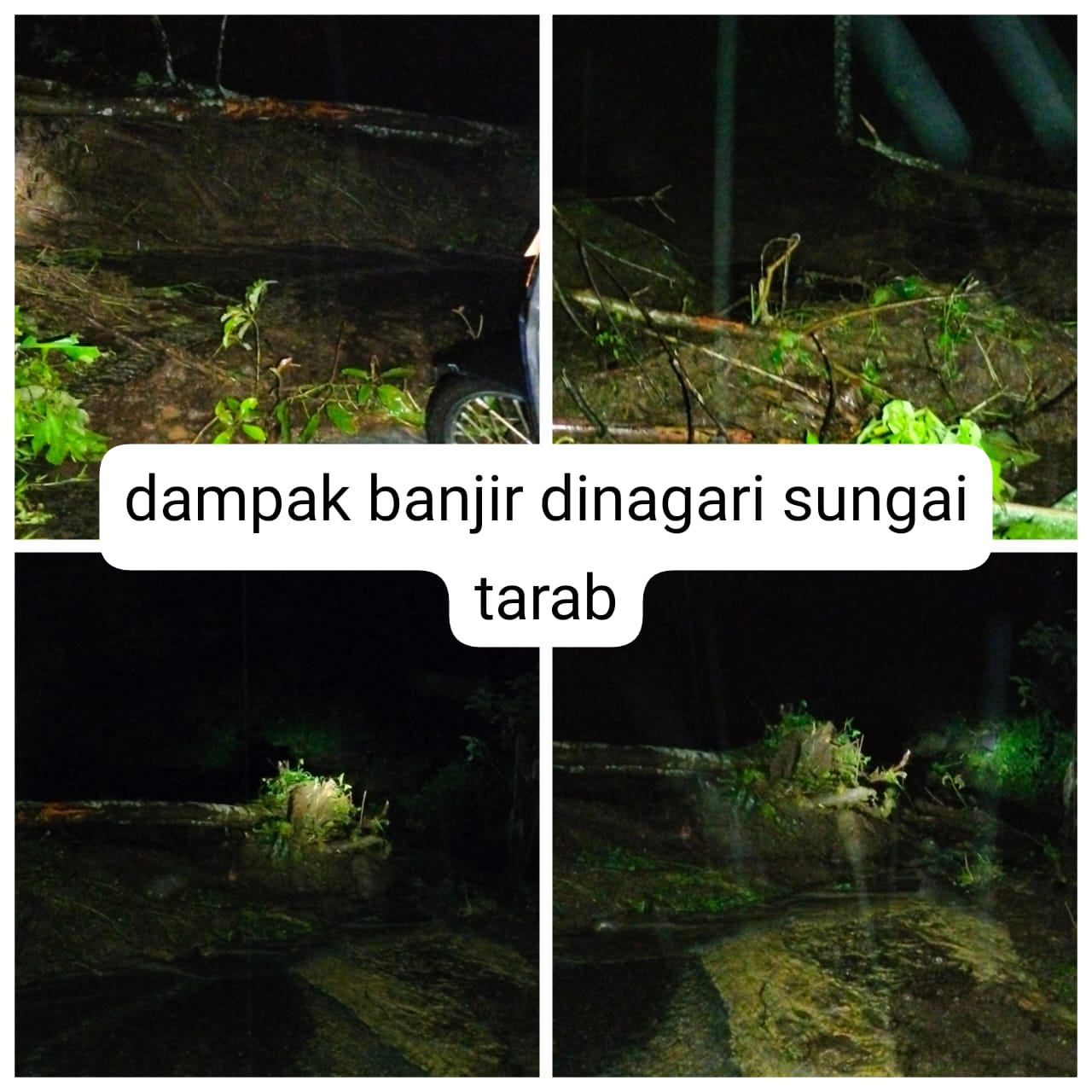
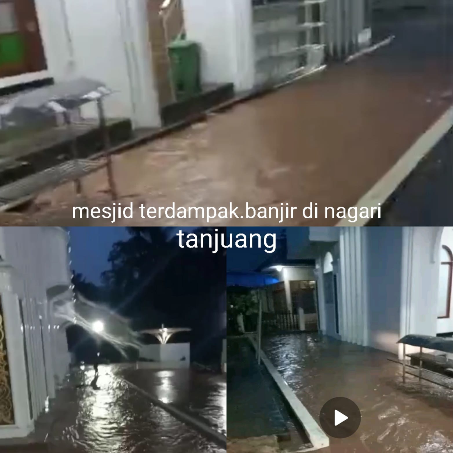
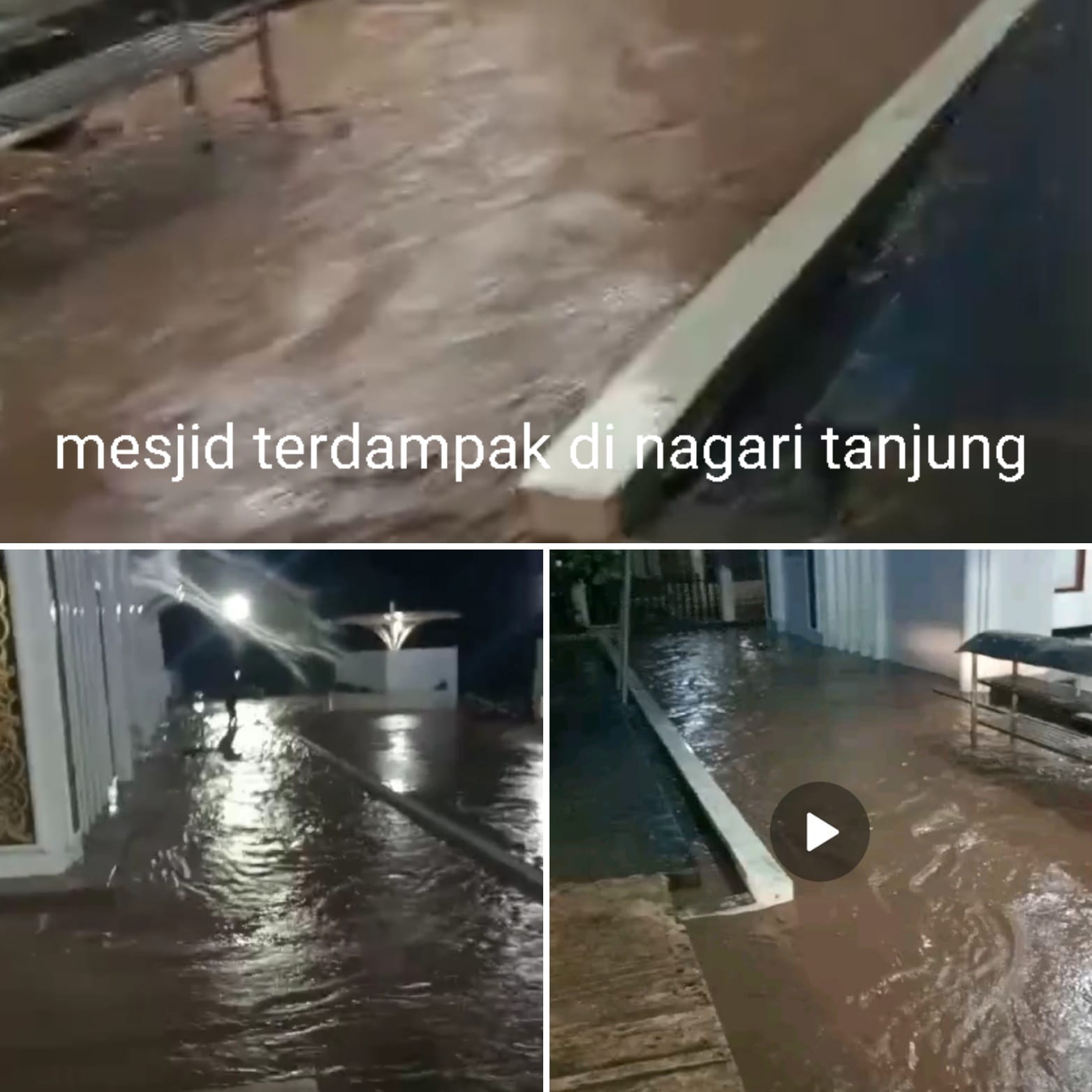
Floods and Landslides in Kab. Tanah Datar Province North Sumatra
➢ Update: Sunday. April 14, 2024 Pkl. 12.48 WIB
➢ Chronology: Triggered by high intensity rain in the area
Tanah Datar Regency has 7 sub-districts and 22 nagari resulting in
floods and landslides and rains continue until now Sinin. April 08
2024 at 22.30 WIB
➢ Location:
● District. Tarab River
- Ds. Tarab River
- Ds. Simpuruik
● District. X Koto
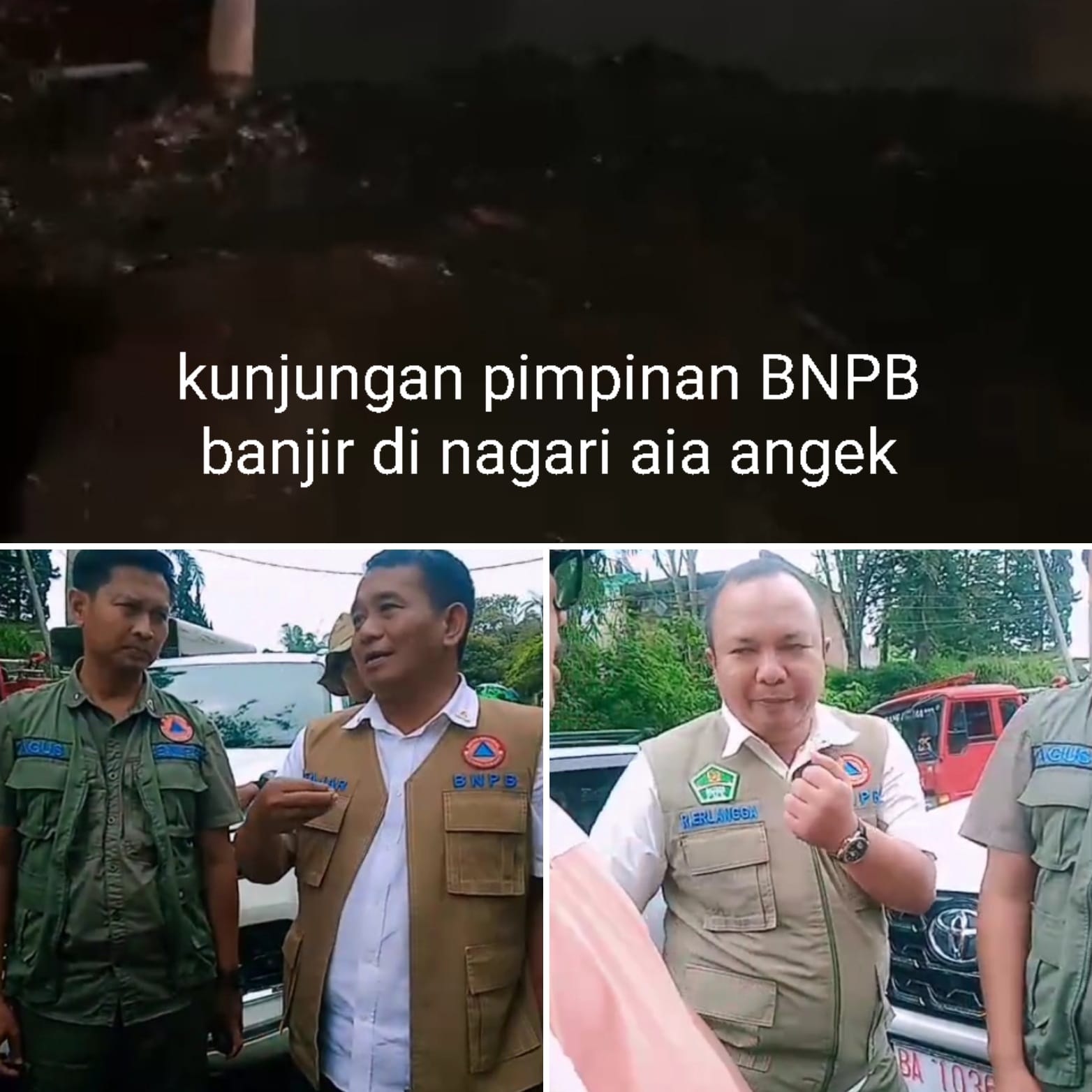
- Ds. Aia Angek
- Ds. Panyalaian
● District. Sungayang
● District. Tanjung Alam
- Ds. Cape
- Ds. Tanjung Alam
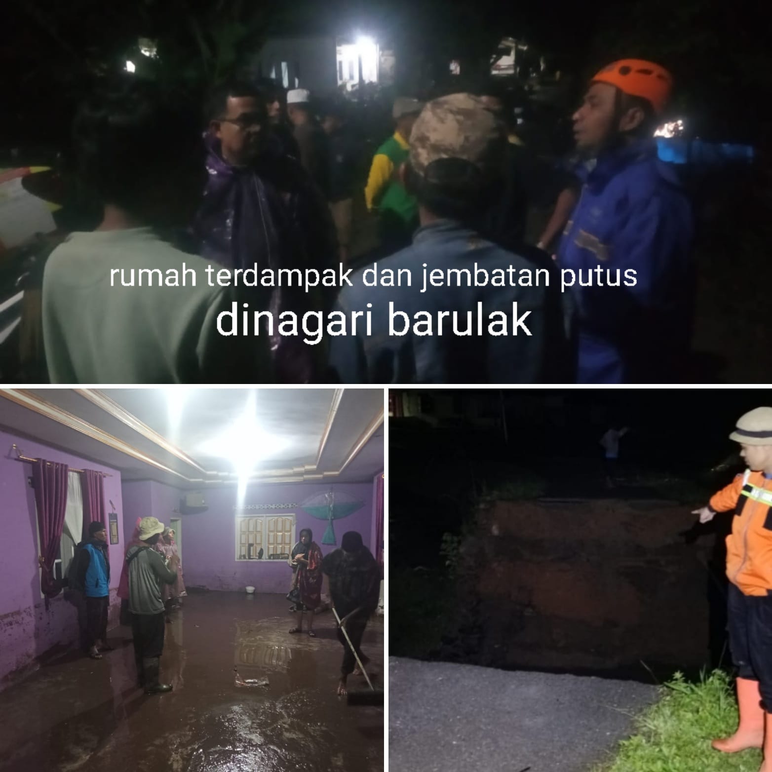
- Ds. Barulak
● District. Five Clans
- Ds. Five Clans
● District. Golden Cape
- Ds. Pagaruyung
● District. Batipuh
➢ Casualties:
● 63 families/371 people affected (data collection)
➢ Material Losses:
● 63 housing units affected
● 4 fasdah units affected
● 2 RB bridge units
● 4 HA of rice fields affected
● 46 DAM / irrigation affected
● 12 bridge units were affected
➢ Effort:
● BPBD Tanah Datar Regency carried out a field evacuation with a team
Nagari volunteers monitor developments in flooding and land events
landslide
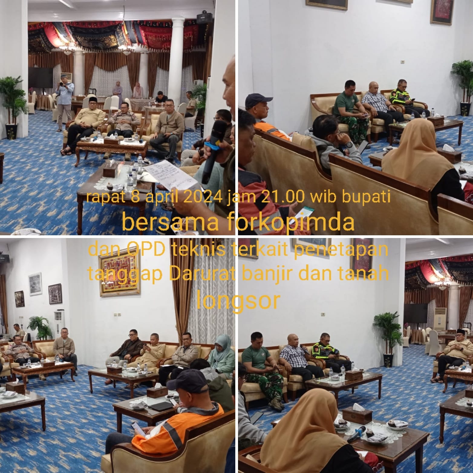
● Carry out cross-sector coordination, POLRI, TNI. Satpol PP firefighters as well
Technical OPD and with Nagari/District apparatus in efforts
emergency management of floods and landslides
➢ Current Conditions:
● Providing basic food assistance, blankets, folding mattresses
● Cleaning of Houses of Worship and Resident's Homes
➢ Status:
● Determination of Emergency Response status for flash flood and land disasters
landslides for 14 days TMT 8 to 21 April 2024
Source: Netrizal Head of RR BPBD Kab. Flatland
Floods and Landslides in Kab. Tanah Datar Province North Sumatra
➢ Update: Thursday. April 11, 2024 at 12.00 WIB
➢ Chronology: Triggered by high intensity rain in the area
Tanah Datar Regency has 7 sub-districts and 22 nagari resulting in
floods and landslides and rains continue until now Sinin. April 08
2024 at 22.30 WIB
➢ Location:
● District. Tarab River
- Ds. Tarab River
- Ds. Simpuruik
- Nagari Pasie Laweh
● District. X Koto
- Ds. Aia Angek
- Ds. Panyalaian
- Nagari Review
- Nagari Pandai Sikek
● District. Sungayang
● District. Tanjung Alam
- Nagari Tanjung
- Nagari Andaleh Baruh Bukik
- Sungai Patai Village
- Nagari Minang Kabauk
● District. Five Clans
- Nagari five tribes
- Nagari Baringin
- Nagari Parambahan
● District. Golden Cape
- Ds. Pagaruyung
● District. Batipuh
● District. New Cape
● District. Salimpung
● District. Pariangan
● District. Propagation
● District. North Lintau Buo
● District. Lintau Buo
➢ Casualties:
● 41 families affected (data collection)
➢ Material Losses:
● 41 housing units affected
● 5 fasdah units
● 2 RB bridge units
● 4 HA of rice fields affected
● 5 Dams Broken
➢ Effort:
● BPBD Tanah Datar Regency carried out a field evacuation with a team
Nagari volunteers monitor developments in flooding and land events
landslide
● Carry out cross-sector coordination, POLRI, TNI. Satpol PP firefighters as well
Technical OPD and with Nagari/District apparatus in efforts
emergency management of floods and landslides
➢ Urgent Needs:
● Logistics/food
● Blankets and bedding
➢ Current Conditions: Floods are gradually receding
➢ Status:
● Determination of Emergency Response status for flash flood and land disasters
landslides for 14 days TMT 8 to 21 April 2024
Source: Netrizal Head of RR BPBD Kab. Flatland
Impact Statistic
0
Dead
0
Missing
0
Injured
371
Affected Person
0
Displaced

External Video
News
Human SADDD
- Dead -
- Missing -
- Injured -
- Affected Person 371
- Affected Family 63
- Internaly Displaced People -
- Refugees -
- Evacuation Center (in Country) -
- Evacuation Center (out Of Country) -
House
- Affected Houses 63
- Damage Partial -
- Totally Damage -
Infrastructure
- Bridges 2
- Number of Roads -
- Road Distance (km) -
Public
- Schools -
- Health -
- Government Office / Public Facilities -
- Settlements -
- Worship Places -
- Others -
General
Cost
- Local Currency -
- Cost of Damages -
- Cost of Damages (USD) -
- Cost of Assistance -
- Cost of Assistance (USD) -
Agricultural
- Rice Field 4.00
- Other Crops -
- Fish Ponds -
- Cattle -
- Poultries -
- Livestock -
Relevant Disasters
The ASEAN Disaster Information Network (ADINet) is a repository of information concerning hazards and disasters that have happened in the region. The platform is open for public, which means that the public can submit information about any hazard and disaster to the AHA Centre. Thereafter, the AHA Centre will verify and validate any submitted information to ensure the accuracy of the data inputs. The AHA Centre can also add new information when relevant and as necessary. ADINet has been recording disaster information in the region since the AHA Centre was operational in 2012.

Supported by :