Indonesia, Drought in Magetan (East Java)
Sep 13, 2024 16:33
Sep 14, 2024 13:13
Location
Coordinate:
-7.662880997071, 111.3579023024
Administrative:
Jawa Timur, Indonesia
Affected Area:
Jawa Timur
Hazard
Main : Drought- Describe the incident = -
Description
➢ Chronology:
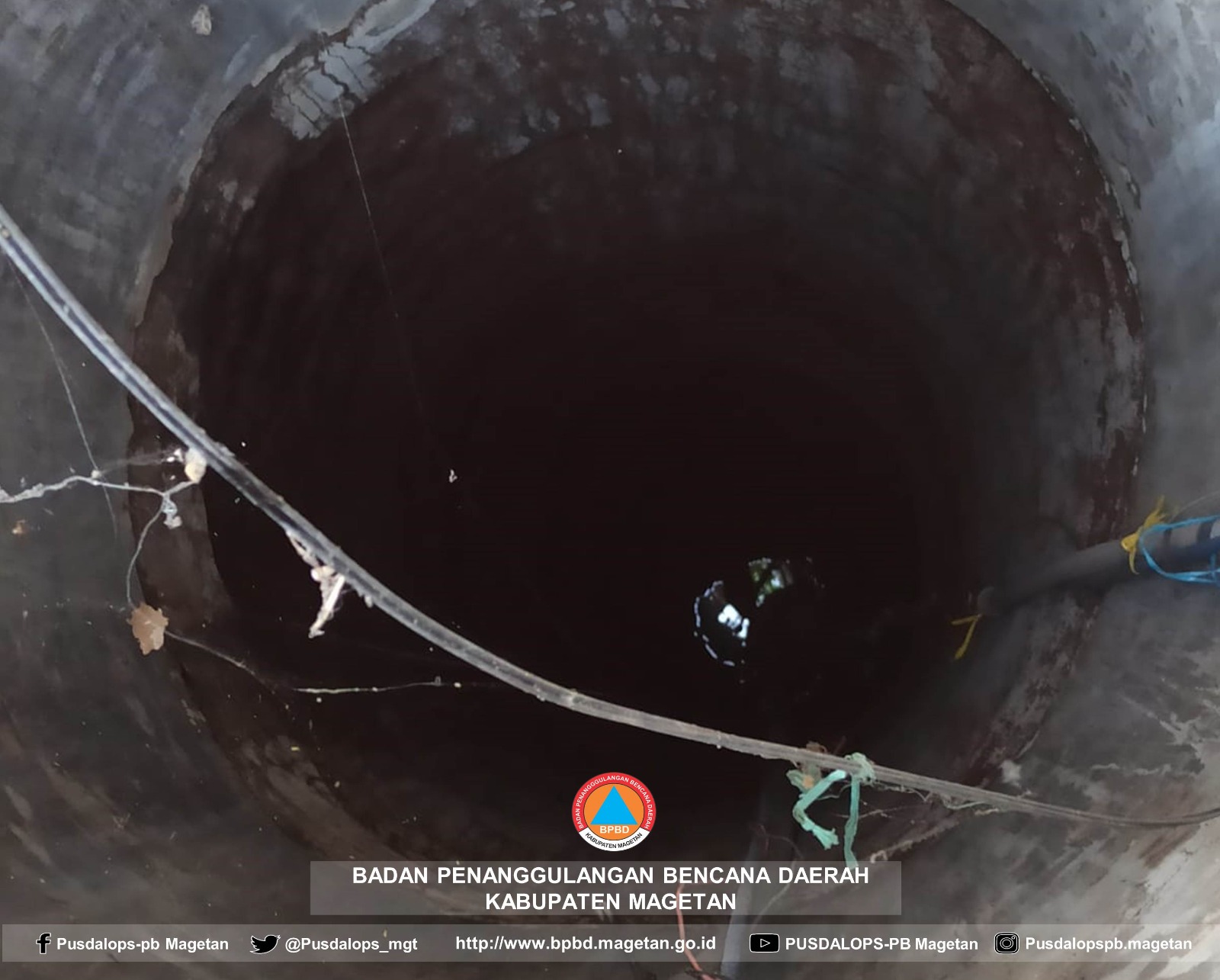
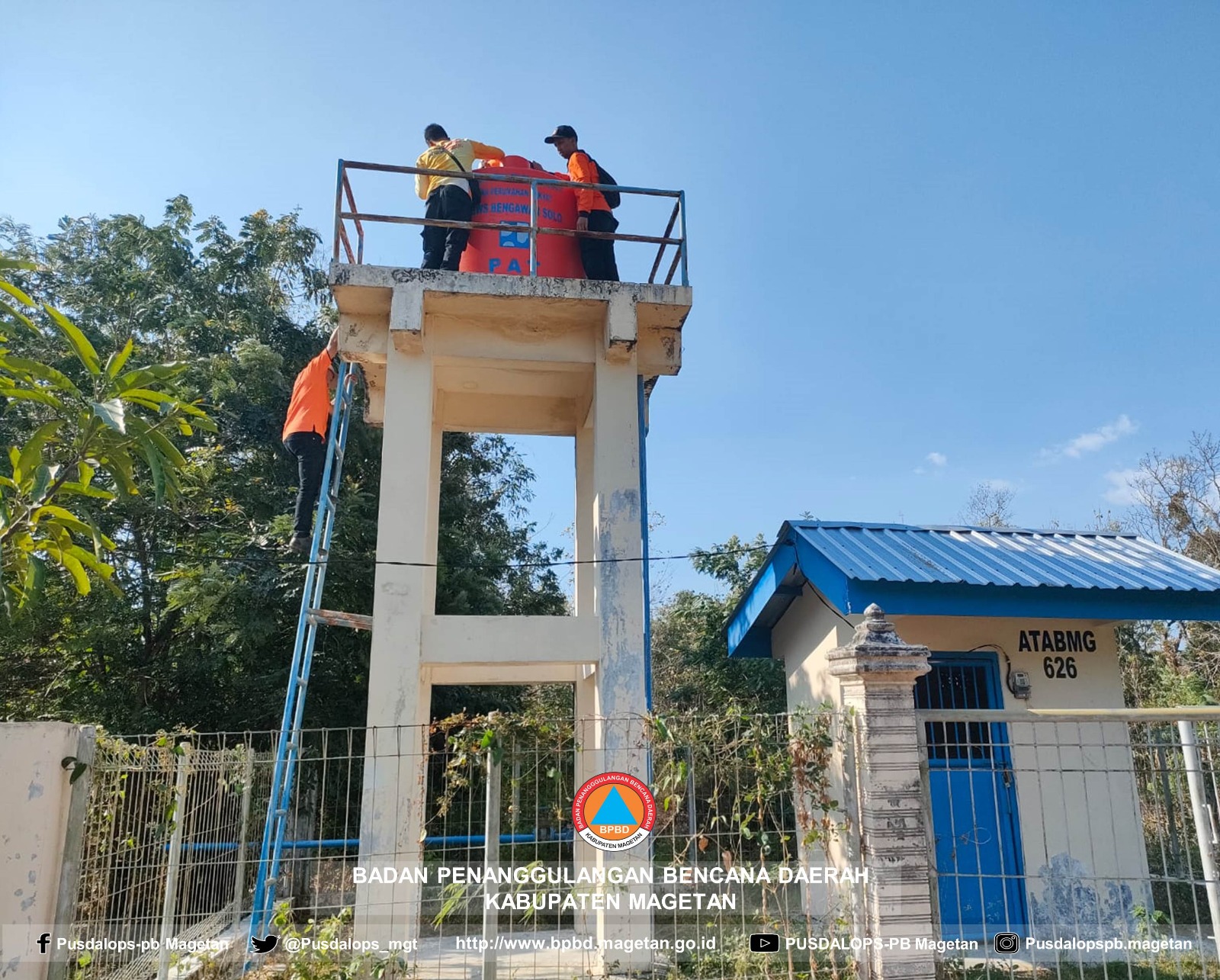
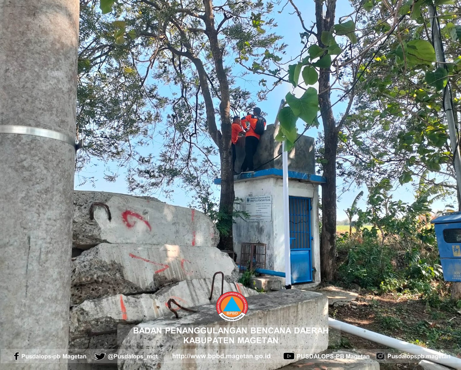
Triggered by a decrease in groundwater discharge in residents' wells and Pamsimas Water could not reach all residents because the water reservoir (tank tower) was not high enough, causing the water pressure to be insufficient to reach residents' homes.
➢ Location:
● Karas District
- Kuwon Village
➢ Casualties:
● 40 families affected
➢ Material Losses: Nil
➢ Efforts:
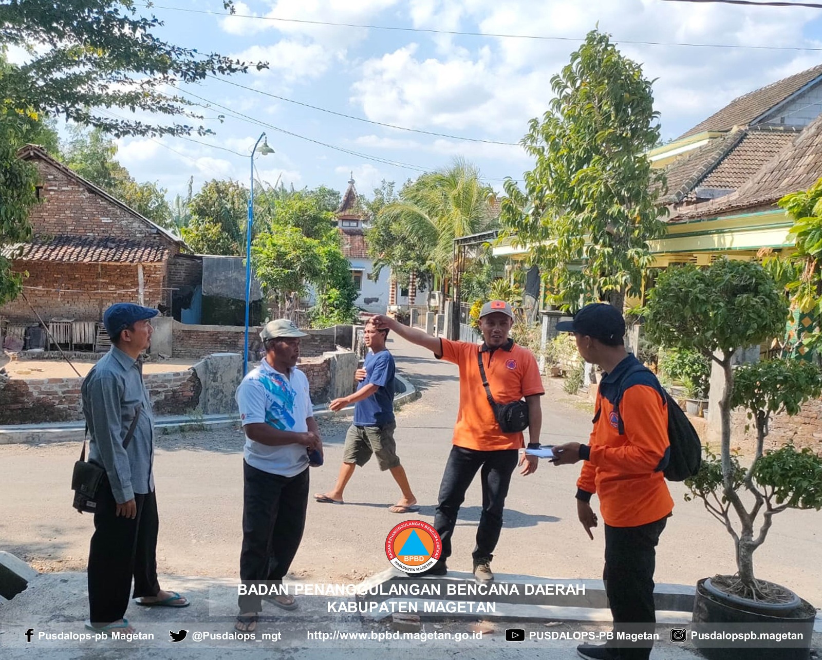
● BPBD coordinated with the Karas District government apparatus and the Kuwon Village government regarding the causes and solutions to overcome the drought in Kuwon Village, with the results of the agreement starting Saturday (September 14, 2024) BPBD distributed clean water to Kuwon Village. In its distribution, it will be divided into 3 points of water tank locations that will be installed by BPBD
➢ Elements involved:
● BPBD Magetan
● TNI
● Polri
● Kuwon Village Apparatus
● Karas District Apparatus
➢ Current Condition:
● Currently, some residents take clean water from neighbors' / relatives' houses who are not experiencing difficulties with clean water
Source: Pusdalops BPBD Magetan Regency Server
Impact Statistic
0
Dead
0
Missing
0
Injured
100
Affected Person
0
Displaced
External Video
News
Human SADDD
- Dead -
- Missing -
- Injured -
- Affected Person 100
- Affected Family 40
- Internaly Displaced People -
- Refugees -
- Evacuation Center (in Country) -
- Evacuation Center (out Of Country) -
House
- Affected Houses -
- Damage Partial -
- Totally Damage -
Infrastructure
- Bridges -
- Number of Roads -
- Road Distance (km) -
Public
- Schools -
- Health -
- Government Office / Public Facilities -
- Settlements -
- Worship Places -
- Others -
General
Cost
- Local Currency -
- Cost of Damages -
- Cost of Damages (USD) -
- Cost of Assistance -
- Cost of Assistance (USD) -
Agricultural
- Rice Field -
- Other Crops -
- Fish Ponds -
- Cattle -
- Poultries -
- Livestock -
Relevant Disasters
The ASEAN Disaster Information Network (ADINet) is a repository of information concerning hazards and disasters that have happened in the region. The platform is open for public, which means that the public can submit information about any hazard and disaster to the AHA Centre. Thereafter, the AHA Centre will verify and validate any submitted information to ensure the accuracy of the data inputs. The AHA Centre can also add new information when relevant and as necessary. ADINet has been recording disaster information in the region since the AHA Centre was operational in 2012.

Supported by :